

Net of Nature
Trails

Stage: Cabrejas del Campo - Ciria
Description
Through the fields of Gómara, impassive witnesses of history.
The old railway that was intended to link Santander with the Mediterranean ports of Sagunto and Valencia winded its way through Gómara, an area dotted with small wetlands, endowing this environment with great biodiversity. These lands have been home to many illustrious figures, including Olympian Abel Antón. The traveller, protected by the Aleza and Costanazo mountain ranges, reaches Ciria at the foot of the Bigornia mountain range, ending his journey through this spectacular province.

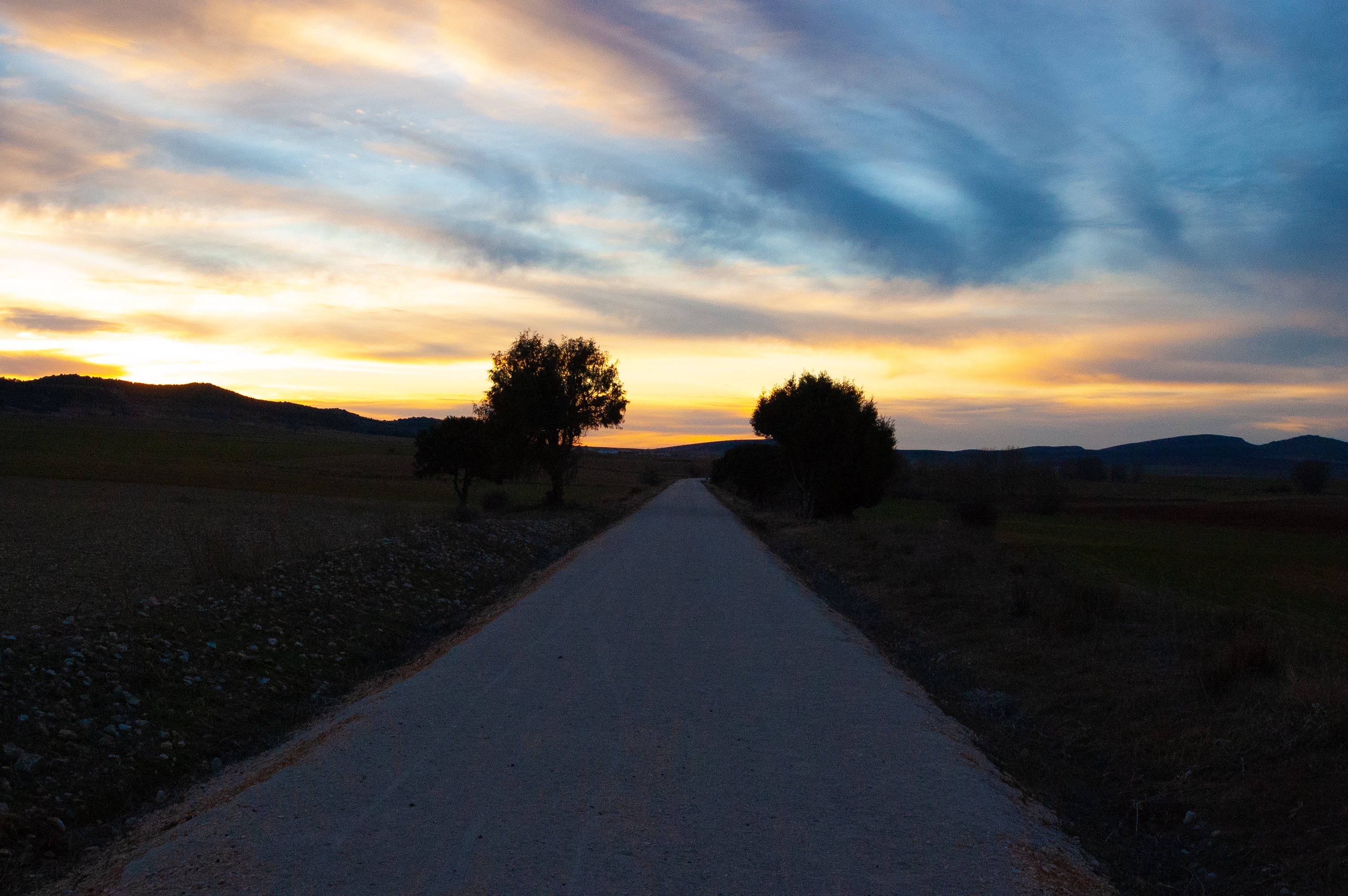
This stage of the Santander-Mediterranean Nature Trail begins very close to the town of Cabrejas del Campo, starting this adventure with the old railway station as a prominent feature.

As we continue into the Campos de Gómara countryside, some surprises await. The Campo de Gómara Lagoon Complex includes the Honda, Herrada and Herrera lagoons as well as many others. This area boasts a great diversity of fauna, mainly birds, which even use these lagoons as a stopover on their great migratory journeys, as seen with flocks of cranes (Grus grus) often visible.
Our route continues to the monumental village of Almenar de Soria on the left, with its castle and the Shrine of the Virgen de la Llana standing out. On our right, the Shrine of San Cristóbal, belonging to the nearby town of Aliud, stands on a hill. Next, we reach the large cereal storage silos located next to the old Gómara - Almenar - Albocabe station, which were of great importance in the past for the transport of this raw material.
We then reach the wooden footbridge over the Vega stream. The Aleza mountain range dominates the landscape, providing sharp contrast with the cereal crops. The route gradually curves to the left as we approach the hamlet of Portillo de Soria, where the traveller is welcomed by the beautiful Shrine of La Virgen de Silos. The old Portillo de Soria station is located slightly further on.

On a continuous but gentle ascent, the route continues to the right of the outline of the Sierra de Costanazo mountains and the villages of Torrubia de Soria and Tordesalas, where the old station is now a fully equipped rest area. It makes for an ideal spot recover strength, while enjoying the view of the Sierra del Costanazo mountains and the beautiful hilltop village of Sauquillo de Alcázar.
The Mediterranean scrubland starts to dominate the landscape as we approach Sierra de Bigornia mountains, as holm oak(Quercus ilex) and gall oak (Quercus faginea) formations emerge. We cross an old bridge, rebuilt in-keeping the original railway model, over the N-234 road. The bridge has a wooden surface to allow walkers and cyclists to pass. From here, the stage descends slightly and, after glimpsing the Shrine of Nuestra Señora de la Serna, vegetation formations emerge, with the Spanish juniper (Juniperus thurifera) particularly prominent.
The Castle of Ciria soon emerges on the horizon before we pass through the Ciria tunnel. The tunnel is 245 metres long and on a curve so it is equipped with lighting, although, because the surface is not completely level, it is recommended to carry a torch.
Upon emerging from the tunnel, Ciria rises in all its glory atop the hill, with the Church of Santa Maria la Mayor towering above the village. An interpretive panel in the village marks the end of this stage of the Santander-Mediterranean Nature Trail between Cabrejas del Campo and Ciria.
Managing Entities
Sites of interest
Puntos de interés
Culture
- Castillo de Ciria
- Ermita de la Virgen de la Serna
- Ermita de la Virgen de la Amorosa
- Ermita de la Virgen del Espino
- Ermita de San Cristóbal
Hydrography
Infrastructure
- Antigua estación de Tordesalas
- Antigua estación de Albocabe
- Antigua estación de Cabrejas del Campo
- Antigua estación de Portillo de Soria
- Túnel de Ciria
Municipality
- Villaseca de Arciel
- Ciria
- Buberos
- Cabrejas del Campo
- Almenar de Soria
- Sauquillo de Alcázar
- Portillo de Soria
- Albocabe
- Aliud
- Torrubia de Soria
- Tordesalas
Orography
Hostel
Profile

 Harshness of natural environment
- 1. The environment is not risk-free
- 2. There are more than one risk factors
- 3. There are various risk factors
- 4. There are quite a lot of risk factors
- 5. There are many risk factors
 Guidance along the route
- 1. Well defined trails and crossings
- 2. There is a clearly marked trail and signage
- 3. Requires the identification of geographic features and cardinal points
- 4. Requires off-path navigation
- 5. The trail is interrupted by obstacles that have to be gone around
 Route difficulty
- 1. Walking on a flat surface
- 2. Trails with different types of path
- 3. Walking on stepped paths or irregular terrain
- 4. The use of hands or jumping over the terrain is necessary
- 5. The use of hands is required to progress
 Amount of effort needed
- 1. Up to 1 hour of continuous walking
- 2. Between 1 and 3 hours of continuous walking
- 3. Between 3 and 6 hours of continuous walking
- 4. Between 6 and 10 hours of actual walking
- 5. More than 10 hours of continuous walking
(Calculated according to the MIDE criteria for an average excursionist with a light load)
Highlights
Ciria
This Soria municipality and village is strategically located in the valley of the River Manubles, which may be related to the origin of its name. It was of vital importance from ancient times, and in the medieval period was the site of border conflicts between the Castilians and the Aragonese.
The architectural heritage includes the Parish Church of Santa María la Mayor and the Shrines of La Virgen de la Serna and Virgen del Espino. But the most important monument in Ciria is undoubtedly its medieval fortress of Arab origin, built in masonry and perfectly adapted to the terrain on which it stands.
The surrounding flora is dominated by Spanish juniper (Juniperus thurifera) and oak. These areas, combined with the cereal cultivation lands, provide the fauna with an ecosystem in which to live, with hares, rabbits, partridges, roe deer and wild boar all present.
The local economy is based on agriculture and livestock farming and related traditional activities. The local patron is the Virgen de la Serna, and the festivals in her honour are held on 23 August.
Multimedia


Downloads

GPS Downloads


Documents

Cyclability
This cycling stage corresponds to the section between Valcorba and Ciria of the Nature Trails.
PROFILE

TYPE OF ROADS, PORTAGES & DIFICULTY

TEST

SAFETY RECOMMENDATIONS
- The only existing risks are the few road crossings of the stage and the passage through the Ciria tunnel, with artificial lighting.
GENERAL RECOMMENDATIONS
- Find out about the technical aspects of the route and the weather on the day.
- Take care of the environment. Take care not to disturb animals or damage vegetation. Respect private areas.
- You must give priority to pedestrians and comply with general traffic rules.
- The environment in which you will be riding is open, free to move around and an area where many activities are carried out (sporting, forestry, livestock and agricultural activities).
- Always have an understanding, prudent, responsible and respectful attitude.