
Puntos de Interés

Hydrography
River Manubles
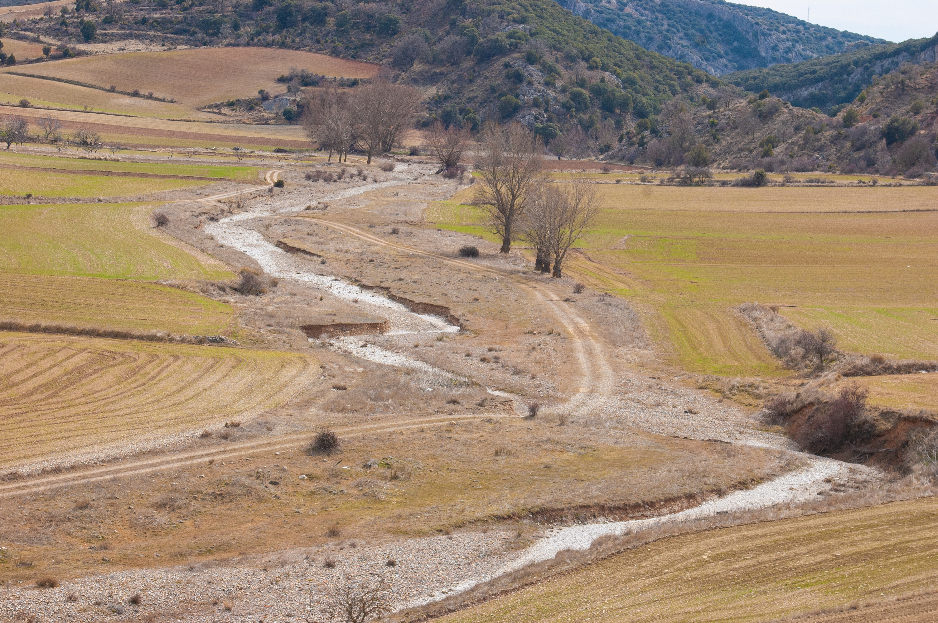
The River Manubles rises in the dehesa pastureland of the Sierra del Tablado mountains, in the province of Soria. Its source sits at an altitude of 1,366 metres above sea level, very close to Borobia. According to some pre-19th century documents, the river is mentioned as Monubles, which suggests that it took this name from an old village of the same name that was abandoned in the 15th century.
At 71 kilometres long, it belongs to the Ebro basin and is the main tributary of the River Jalón, which it enters from the left bank at Ateca, at an altitude of 581 metres. It crosses Castilian and Aragonese lands, passing through the villages of Borobia and Ciria in the province of Soria, and Torrelapaja, Berdejo, Bijuesca, Torrijo de la Cañada, Villalengua and Moros in the province of Zaragoza.
The flow of the Manubles can vary greatly depending on the season and its flooding power is feared for its great floods, as there are usually strong low flows and in times of storms it can cause serious flooding. Many of the towns through which it passes have built large containment infrastructures for protection.
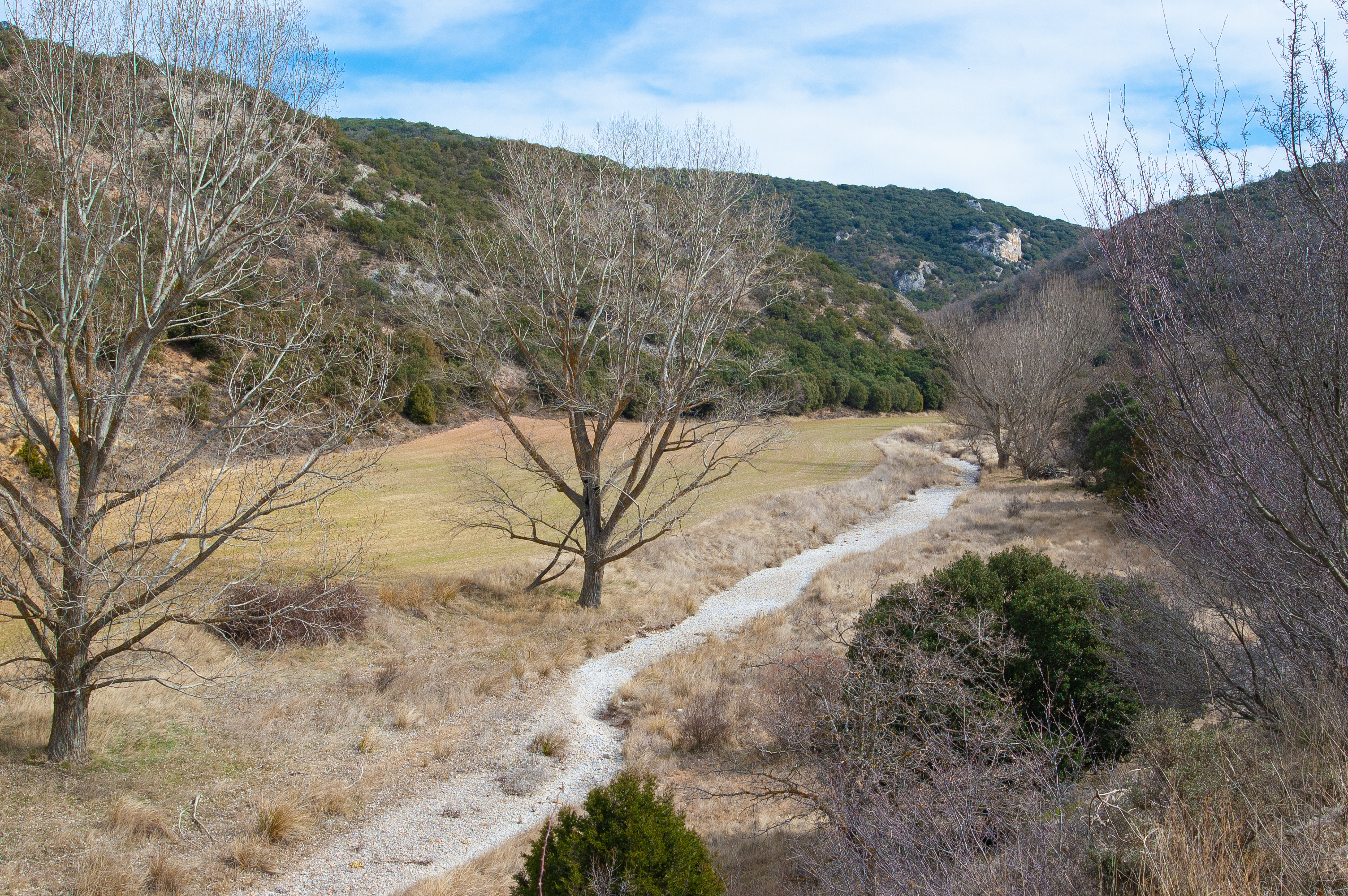
The river has a basin of 447 square kilometres and its course runs through areas of great ecological importance, offering sightings of colonies of griffon vultures and other birds of prey in the canyons along its banks. Until about forty years ago, the European crayfish still inhabited these waters, a species that is now practically extinct after the arrival of the American red crayfish.
As for the flora associated with this river, there is an abundance of riverside woodland, with black poplar and bitter willow formations, as well as ash trees, poplars, elder trees, dogwoods, ivy and blackberry bushes. The surrounding limestone moors are colonised by kermes oak and scrubland.
The only tributary of some importance is the Carabán.