
Puntos de Interés

Orography
Sierra de Virgonia
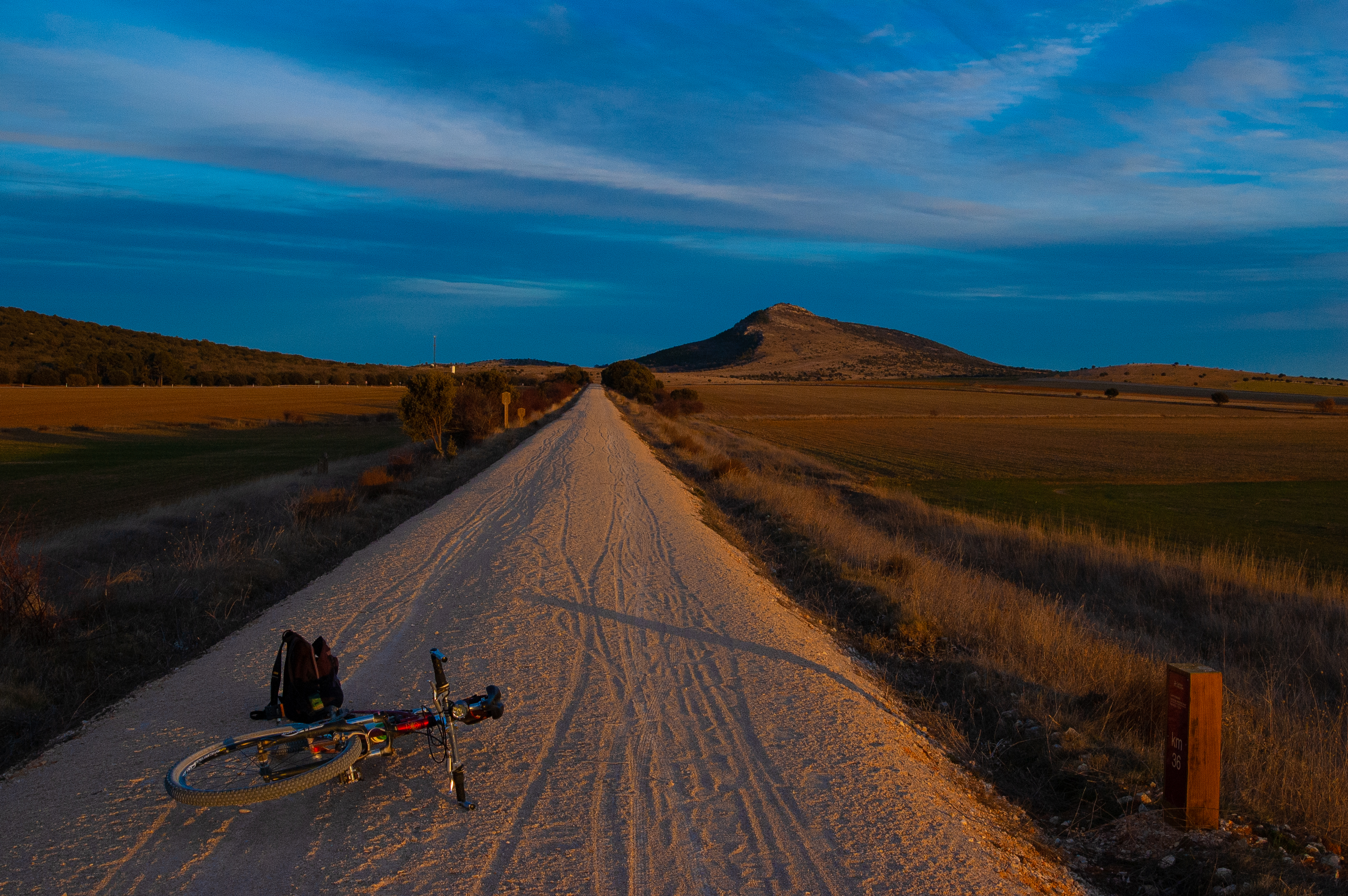
The Sierra de la Vigornia is an Aragonese mountain range located in the Iberian System, to the south of the Sierra del Tablado between the comarcas of the Comunidad de Calatayud and Campo de Gómara. The highest peak is the Vigornia peak, with a double summit of 1,294 and 1,288 metres. The former one is in the province of Soria, while the other is just inside Aragon, less than a kilometre from the border between the provinces of Zaragoza and Soria.
The name Vigornia comes from the Latin bicornia, meaning two points, however, some experts suggest that the original form of the place name Viduerna could have another origin.
The Sierra de la Vigornia is spread over the municipalities of Verdello, Torrelapaja, Reznos and Ciria, the former two in the province of Zaragoza and the latter two in the province of Soria. It can be reached from the port of the same name, through which the old Roman road linking Bilbilis and Numantia used to pass.
This site is within the Altos Campos de Gómara Special Protection Area for Birds and the Sabinares de Ciria-Borobia Site of Community Interest.