Net of Natural
Trails

Fuerteventura Nature Trail
Description
select a stage:

Fuerteventura is the second largest island in the Canary archipelago, and the whole island was named a Biosphere Reserve by UNESCO on May 26, 2009. The landscape is dominated by the characteristic geomorphological features of the island, and wide beaches are its biggest tourist attraction.
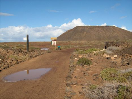
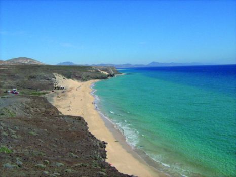
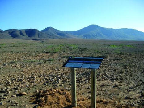
Completing the nine sections which form the Nature Trail GR-131 means that hikers shall cross the small island of Lobos and the island of Fuerteventura from north to south, along a characteristic semi-desert landscape, without any cover of trees for most of the trail, seeing scenery that ranges from haunting landscapes of golden sand and beautiful beaches with turquoise water to volcanic badlands where solidified lava has created arid grounds and desert formations whose unique appearance makes them particularly interesting.
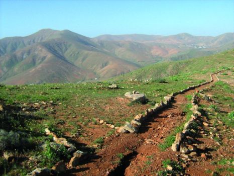
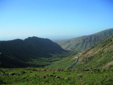
The Nature Trail runs along paths that have gentle slopes - with few exceptions such as the climb to Pico de la Zarza or the Cifete cliffs – since the orography of the island is characterized by intense erosion processes whereby the hills have been smoothed out by the action of wind and rainfall over centuries.
The island has a wealth of natural protected areas - comprising almost thirty per cent of its surface - which hikers will be able to enjoy in the course of the trail. The trail goes through the Natural Park of Islote de Lobos (Lobos Island); the Natural Monument of Malpaís de la Arena and their associated lava formations, which are residues of the last volcanic activity recorded on Fuerteventura; the “sacred” mountain of Tindaya, an iconic place for the “Majos” or aboriginals of the island; Betancuria Rural Park, the largest natural area of the island, with a landscape made of u-shaped cliffs; the Natural Monument Montaña Cardón; and finally, in the southern tip of the island, Jandía Natural Park, boasting all the habitats that can be found on the island: psammophilic or arenicolous areas (beach and sand habitats), salt marshes, rocky plains, cliffs, valleys and hills.
In spite of the lack of vegetation cover, we will see on the way numerous endemic plant species, particularly Jandía cactus (Euphorbia handiensis), as well as palms and tamarisks in the beds of ravines and valleys. The island is also home to a large number of birds, many of them migratory, such as the Canary Islands houbara bustard (Chlamydotis undulata fuertaventurae), the Cory’s Shearwater (Calonectris diomedea), the guirre or Fuerteventura vulture (Neoprhron percnopterus majorensis) or the aguililla or Canary Island common buzzard (Buteo buteo insulrum).
Along the Nature Trail we will become acquainted with the history of Fuerteventura, its aboriginal culture before the Norman conquest and its manorial past, as well as the different traditional cultivation systems used by the inhabitants of the island (Majoreros) to counteract the hostility of the terrain and the lack of water in order to carry out their agricultural activities.
It is essential to emphasize that a combination of the absence of tree cover and the desert and arid climate of the island – with scarce rainfall and temperatures almost constantly over 20ºC throughout the year – makes it essential for hikers to apply sunscreen and carry abundant water before starting on a trail, and, in summertime, to avoid walking in the middle of the day.


