Net of Natural
Trails

SL FV 31: Tiscamanita - Vega del Río Palmas
Description
Between a Volcano and a Meadow
With a view of Caldera de Gairía in the horizon, this trail begins in the village of Tiscamanita and climbs to the crest of Morro Jorjado, where it offers magnificent scenic views of the region; the trail then goes down toward the village of Agua de Bueyes, and it continues until it reaches Vega de Río Palmas (Meadows of the Palmas River).

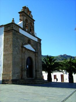
This trail, SL FV 31, starts in Tiscamanita, a very special village where we can admire the beautiful Gairia Caldera, an ancient volcanic crater 461 m above sea level, broken by human action and named a Natural Monument.
The village also has the Interpretation Center of Los Molinos, opened in 1997 and belonging to the Network of Museums of Fuerteventura, which provides information about the history of grain milling in Fuerteventura before and after the conquest. This museum also has a permanent exhibition of items and artifacts used for the production of gofio (roasted corn meal) in the windmills of the island, as well as a restored windmill – in working order – that grinds gofio.
This local trail begins near the road that connects Tuineje with Antigua, where there is a vertical directional panel showing the direction to take; we then follow the signs affixed to telephone poles on Juan Peñate Street toward the outskirts of the village, along a number of crop fields.

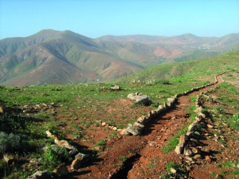
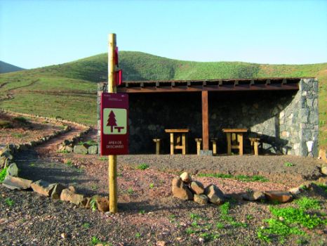
After a gentle climb, we reach a dirt track where there is a resting area consisting of a stone shelter with wooden tables and benches; from that point, the trail ascends continuously along a track for several kilometers.
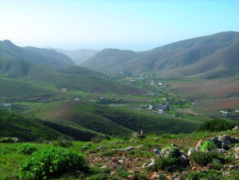
Along this trail we can enjoy the beautiful scenery and various views of the countryside around Tiscamanita. After reaching the crest of Morro Jorjado, the path begins a gentle descent, running along a hillock that offers a fabulous view of the village of Vega de Río Palmas, to the west, and of the village of Agua de Bueyes, to the east.
After a little more than 1.5 km, there is a crossroads with a path that goes down to the village of Agua de Bueyes; once there, we take the path on the left, which will lead us directly to the village of Vega de Río Palmas, where it connects with section 5 of the Nature Trail.
Puntos de interés
Culture
Municipality
Profile
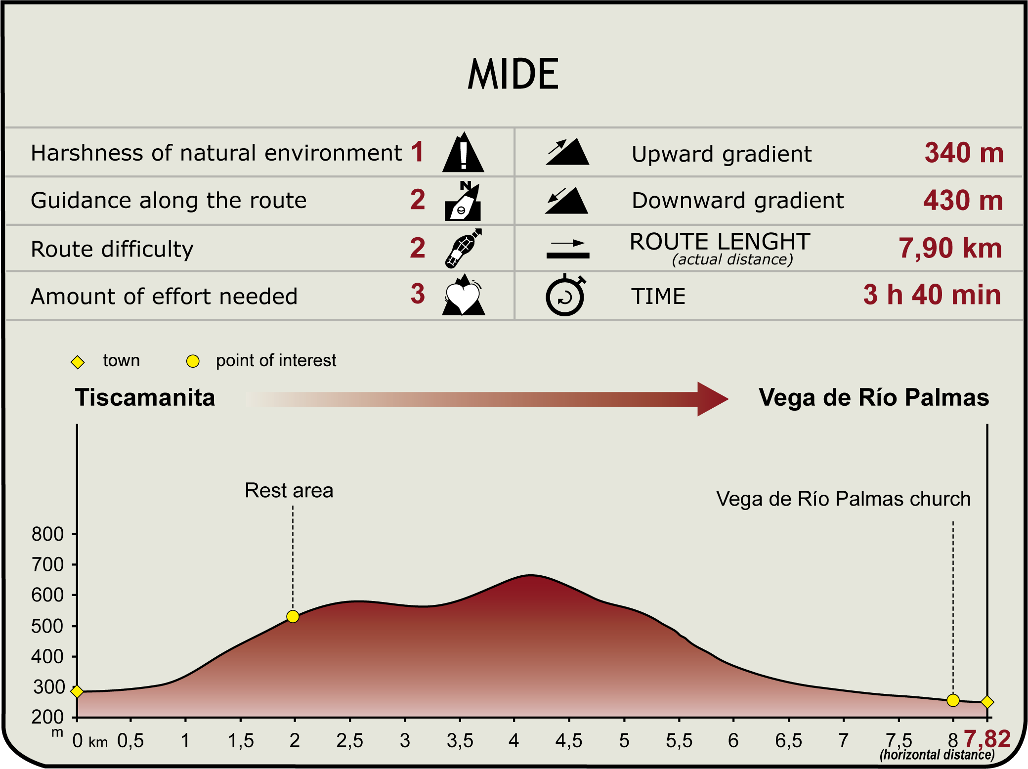
(Calculated according to the MIDE criteria for an average excursionist with a light load)
Highlights
Further information
La Caldera de Gairía
Situated at the foot of Tiscamanita, the Natural Monument Caldera de Gairía has an area of 240.9 hectares between the municipalities of Antigua and Tuineje, in the center of Fuerteventura.It is a recent volcanic cone with great scenic and geological interest which is home to interesting communities of plants typical of arid regions, such as balsam spurge (Euphorbia balsamifera).From its summit, with an altitude of 461 m, you can see other recent volcanic formations, such as Malpaís Grande, Caldera de la Laguna, Caldera de los Arrabales and Caldera de Liria.In this area there are also camels, as well as one of the emblems of the island: typical herds of goats grazing freely.


