Net of Natural
Trails

PR FV 1: Playa del Esquinzo - Barranco del Jable
Description
Between the Sea and the semi-desert plain
From the beach of Esquinzo, the PR FV 1 path follows the coastline toward the village of El Cotillo, where it leaves the coast and heads out to the interior of the island through semi-desert plains, reaching the small hills of los Frailes and los Corraletes to descend from there to the ravine at Cañada de Melián (Pass of Melián) along a volcanic sandy (jable) terrain.

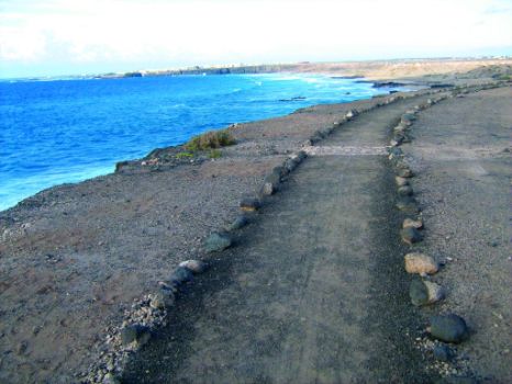
Fuerteventura is one of the oldest islands of the archipelago, and the one to suffer more harshly the effects of erosion. Wind and sea action have smoothed the outline of the coastline, which is the lowest in the entire archipelago. This small trail begins at the beach of Esquinzo or Butihondo, and its first leg runs along the coastline, in an area of beautiful dark cliffs that cut into the coast forming lovely golden sand beaches.
This region has been mainly formed by Pliocene emissions from shield volcanoes in the La Ventosilla-Montaña Bermeja volcanic alignment, from which lava streams poured into the western coast. While Esquinzo beach is the best known beach in the area, it is not the only one we will find along the way, since, as we move northwards, we will see idyllic coves at the mouths of canyons and valleys, in contrast with the vast plains we will find on the right.

PR FV 1 takes us to the last and largest cove, where the cliffs disappear and the terrain flattens out a little; from there we will head out to El Cotillo, a village whose name in ancient times was Tostón. This village combines the quiet life typical of the island with the most complete facilities to cater for visitors; the local population works mainly in the tourist sector.
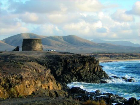
The most interesting landmarks can be seen in the port area of El Cotillo, where a particular highlight is the most significant monument of the village, the Tostón fortress or Rico Roque castle, built in the eighteenth century to protect the coast against pirate attacks. Currently, the Tostón fortress houses contemporary art exhibitions and is also a tourist information center. From the castle we can glimpse the small harbor of Roque de la Mar, as well as the abandoned lime kilns, which were used in old times for the production of lime, one of the most important economic activities of the past in the island.

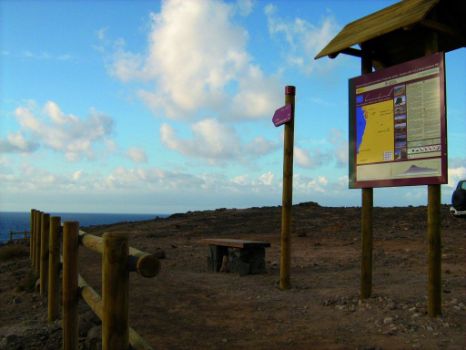
Leaving the village of El Cotillo and the coastline, we continue the road in a southwesterly direction along Tablero Alto de la Molina, from where we can see the village of El Roque, overlooked by its windmill. A dirt track will take us through some “gavias”or ditches (traditional cultivation system of the island) towards Montañeta de los Frailes and Montañeta de los Corraletes, where there is a resting area from which we can enjoy a view of the mountain range disappearing into the horizon: Montaña Colorada (Red Mountain) in Lajares; Montaña de la Arena (Sand Mountain) in Villaverde and even, to the west, a protruding trachyte spout, Montaña de Tindaya.
The vegetation that we will find as we follow the path is mainly represented by species such as the Mediterranean saltwort or “salada” (Salsola vermiculata), the shruby sea-blite (Suaeda vera) and the aulaga (Launaea arborescens). We will also find an occasional reddish carpet formed by slender leaved ice plants (Mesembryanthemum nodiflorum) and common ice plants (Mesembryanthemum crystallinum), whose seeds were once used in the manufacture of soap and gofio (toasted corn meal), respectively. We will also find species introduced into the islands from America, such as the mimo or tree tobaco (Nicotiana glauca), the prickly pear cactus or tunera (Opuntia sp.) and the agave (Agave americana).

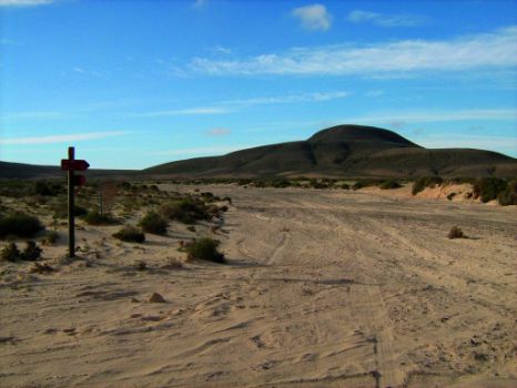
After a gentle descent from Montañeta de los Corraletes, we will reach Majada de las Pilas, and we will then enter the canyon of Cañada de Melián, walking on white sand, very similar to the sand we can see on the coast, called jable (volcanic sand). As we follow the bed of the canyon, we can see to the north the mountain Montaña de la Mareta and to the east the village of Lajares. We will finally reach the road that joins La Oliva and El Cotillo, near Lajares, end of this beautiful short-distance trail.
Profile
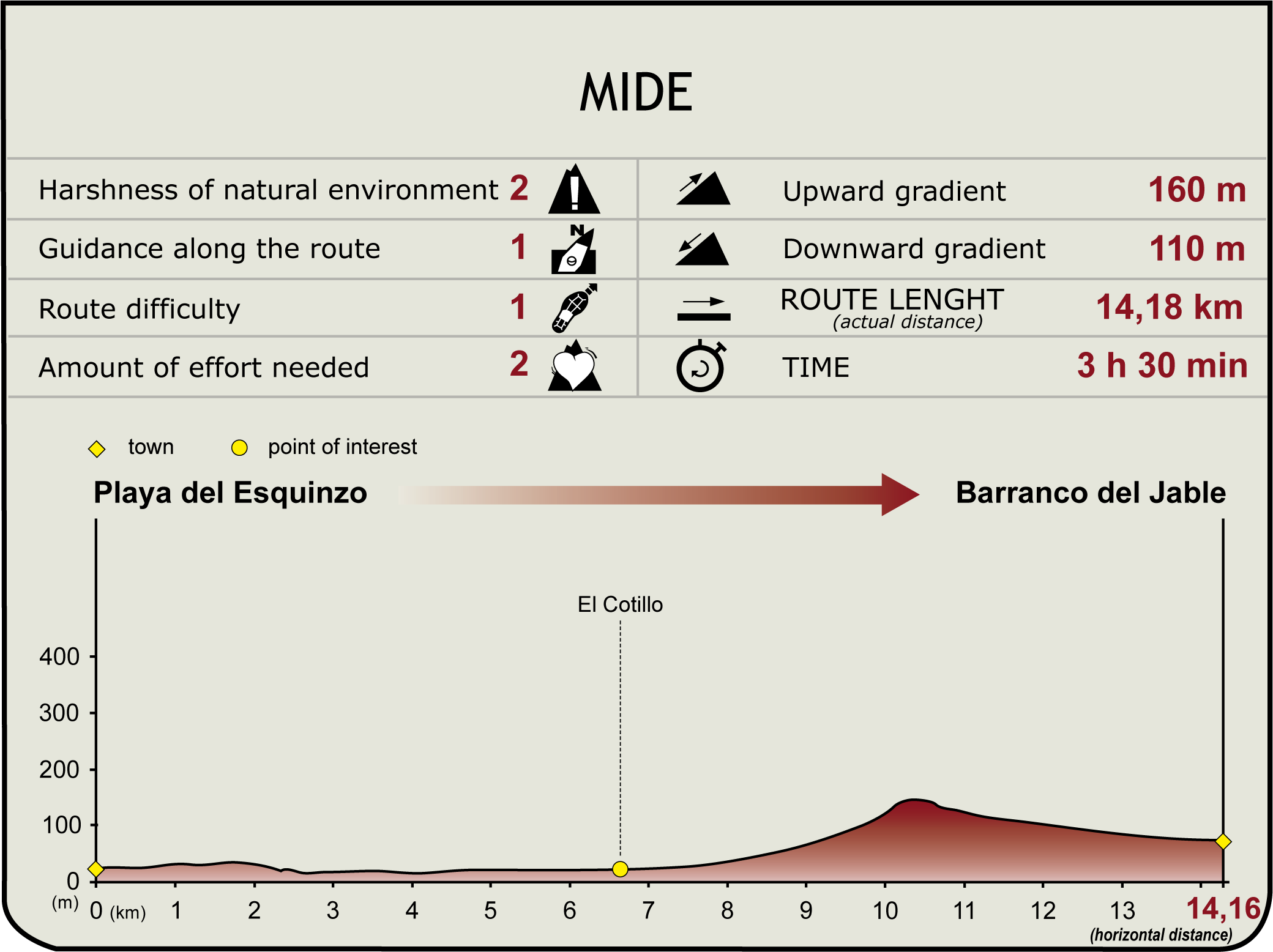
(Calculated according to the MIDE criteria for an average excursionist with a light load)


