Net of Natural
Trails

PR FV 9 Tindaya - Vallebrón - Tefía
Description
Knife-Edged Mountain Ridges and Traditional Farming
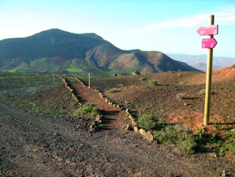
The PR FV 9 trail, which connects with section 3 of the main trail, goes through the protected landscape of Vallebrón, an area of high natural value where we can find the knife-edged relief characteristic of Fuerteventura, in addition to the traditional cultivation methods used by the “Majoreros” or local population to overcome the hostility of the environment.

The short-distance trail PR FV 9 starts at the shrine of Nuestra Señora de la Caridad de Tindaya (see section 3), along the road that exits the village (La Oliva street) toward a junction where we take a dirt track parallel to the road between La Oliva and Puerto del Rosario, which we will follow without making any detour until we cross through a tunnel.
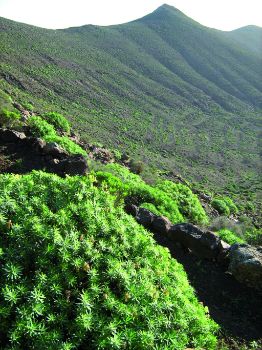
From this point we ascend gently, leaving Tindaya Mountain behind us, and we walk through the valley that separates Montaña de En Medio (Midway Mountain) and Morro de Tabaiba, on whose slopes we can see spectacular formations of spurge plants (Euphorbia sp.).
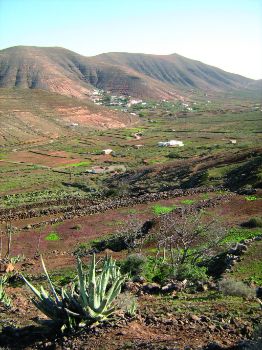
In this way, the road will take us to Vallebrón, a small village of whitewashed little houses situated on the sunny side of the valley and dotted with palm trees (Phoenix canariensis) and different crops; the trail here follows an asphalt road until reaching a sign-posted detour.

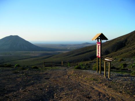
From this detour, we ascend into the protected landscape of Vallebrón, from where we have interesting views of the mountain crests, the village and the great valley of Vallebrón, where the agricultural tradition of Fuerteventura is reflected in the different types of traditional crops growing on the slopes, mainly in the form of gavias, which are parcels of land, usually terraced, enclosed by dirt walls or “trastones”, with their own water distribution and drainage system. This leg of the trail makes a constant ascent and is the toughest part of the journey, but we will be amply rewarded by the magnificent views along the way.
Continuing along the trail, we reach the village of La Matilla, where we can see again the above mentioned cultivation system. Once past La Mantilla, we follow an asphalt road until reaching a dirt track that will take us back to section 3 of the main trail, heading to Tefia.
Puntos de interés
Culture
Municipality
Profile
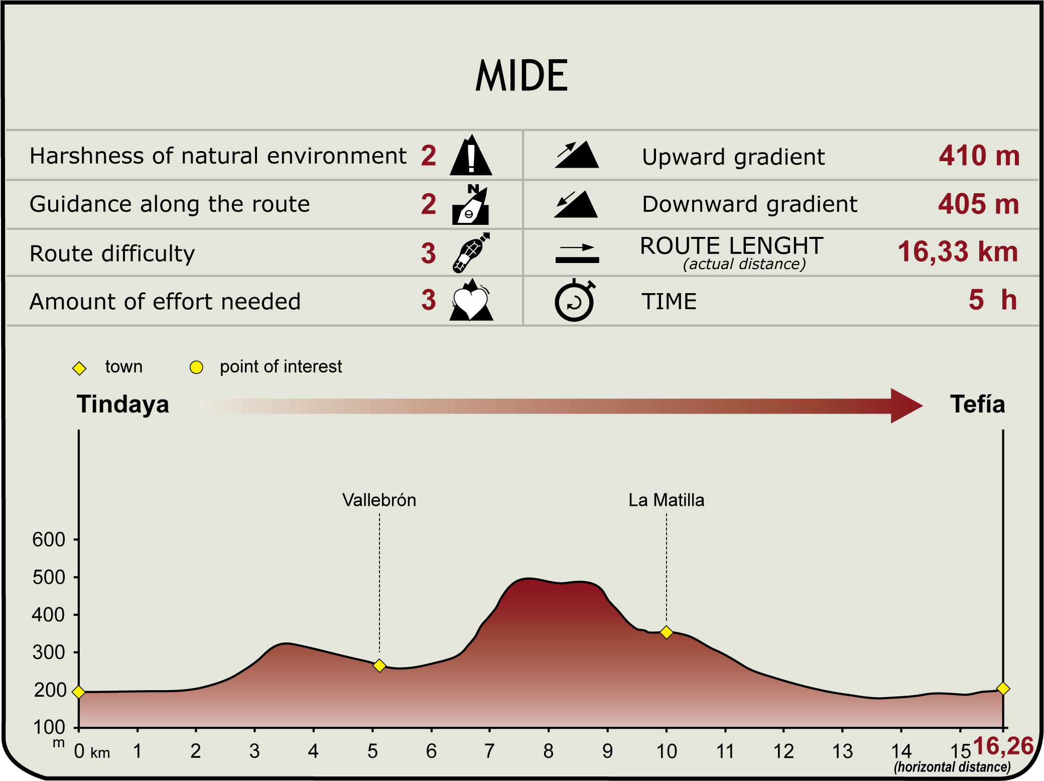
(Calculated according to the MIDE criteria for an average excursionist with a light load)
Highlights
Further information
Paisaje Protegido de Vallebrón (Vallebrón Protected Landscape)
Situated in the north-central sector of the island, the protected landscape of Vallebrón is represented by knife-shaped reliefs of great beauty and scenic value, quite characteristic of the island. These knifes, are structures formed as a result of the effect of an intense erosion process - stretched over long periods - on a Miocene massif. They have various slopes or gradients and the summit can be crest-shaped or oval-shaped.
We can see knife-edged crests in Montaña de la Muda (highest mountain in the region with 689 meters), Morros Altos and Pico de Don David, with generally steep slopes on the upper hillsides. The oval-shaped knifes, which are long rather than wide, are represented by the part of Cuchillo de Vallebrón (Knife of Vallebrón) that stretches to Morro de la Pila and by areas of La Ladera (La Matilla). Their slopes are moderately steep and they have convex summits.
Active mechanisms of erosion, particularly surface run-off, are responsible for the different types of structures created in the ravines and on some slopes of these knife-edged hills: small sources, watercourses, gullies and gorges.
In Valle Grande (the Great Valley), characterized by moderately sloping hills and the presence of crop lands, many of which have been abandoned, there has been an intense plant recolonization process, predominantly of xeric grassland (adapted to very dry soils), particularly aulaga (Launaea arborescens) and Mediterranean saltwort (Salsola vermiculata).


