Net of Natural
Trails

Stage 29: Velilla de Ebro - Sástago
Description
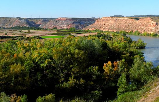
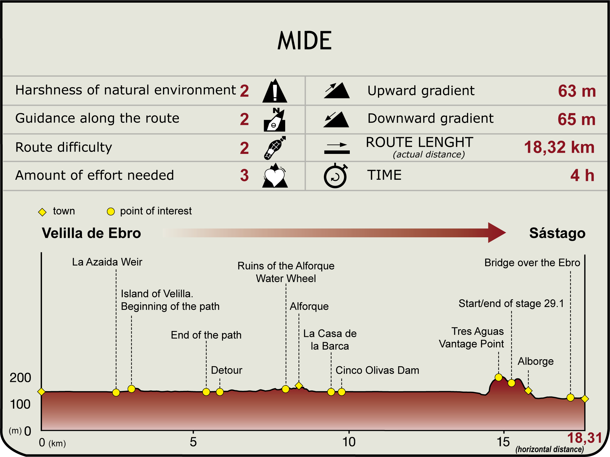
Leaving Velilla de Ebro (148 m) behind via a children's playground, the route winds past the old flour mill and the waterwheel shed towards the fields. Once out of the urban area, it heads down the road to Barca, the closest to the river, past the former ferry crossing used to reach the train station. Nowadays, a shed signals the place where the crossing stood. The route heads down the fertile valley to Velilla Island (3 km, 40 min), where the crop fields on the left bank disappear and the limestone slopes of Sástago formation enclose the Ebro. The route turns north towards Velilla; however, the Ebro Nature Trail snakes up the slope, turning south onto a path.
A few metres above the river, the route winds through gullies and alabaster washout areas on the top. Further, a number of old terraces give way to another area of steep slope that ends in a shed. The first fields of Alforque begin here.
A grass path leads to a wider track to the left that winds towards the upper highlands. The route ignores this track, and continues straight ahead through vacant land, skirting a field, to reach the correct track, which traverses through a small grove of old poplars. It passes near a diversion dam and the remains of a waterwheel system to reach Alforque (8.6 km, 2hr 10 min). The dates on which the Ebro froze in the 16th and 17th centuries, referred to as the Little Ice Age, are carved into the ashlar stones of its Gothic-Mudejar church. Widespread low temperatures gripped the continent, freezing large stretches of the Ebro.
The route circles the urban area of Alforque along the river, past the church and its bay window, leaving the town behind to the east. After 450 m, it turns to the right towards the river and the house of Barca. The boat, which is submerged just a few metres away, was apparently brought in 1960 from Remolinos, where it was used to reach the town of Alcalá de Ebro). The route heads down a lush track to the east along the Ebro, passing next to the edge of Cinco Olivas diversion dam, turns and, past an irrigation ditch, continues parallel to the bank. Past a huge, lone black pine, a glimpse of Cinco Olivas and its jetty can be seen on the opposite bank. The track ends in crop fields that literally run into the bank. Past an old road covered with vegetation, the track ends in the local road that links Alforque and Alborge, near the northern bend of the meander.
The road, confined between the river and the hill, climbs some 2.3 km to Tres Aguas viewpoint, from where it continues inland to an intersection that gives access to Alborge. The starting point of Section 29.1 is located to the left, whereas the urban area can be accessed to the right (15.9 km, 3hr 30 min).
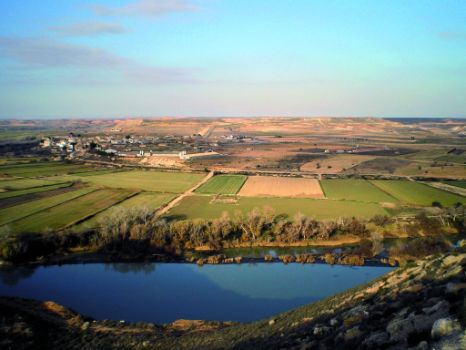
Alborge lies at the foot of a hill crowned by the remains of its founding castle. Its rich cultural heritage is exemplified in its well-preserved ice well, the remains of the waterwheel system near the island, the component parts of an ancient olive press and many boundary crosses.
The route heads towards Sástago along the river, leaving the town behind via the small square beneath the sports area. On reaching the river, the road continues left. The towline of the former ferryboat to Cinco Olivas can be found on the right. The route continues straight ahead along the river, passing through two intersections, until it reaches a road near the bridge over the Ebro. On the opposite side of the bridge, the route leaves the paved road behind to continue along the riverbank until the park, located opposite the diversion dam and Noria Island, beneath the escarpment on which sits the town of Sástago. The town centre is accessed from behind the sports centre (146 m, 18.3 km, 4hr).
Sites of interest
Puntos de interés
Culture
Infrastructure
Municipality
Profile
Highlights
Further information
Cinco Olivas diversion dam
The Cinco Olivas diversion dam holds and channels water towards the right bank of the Ebro to power a mini hydroelectric plant, which previously was a horizontal-wheeled mill. Some water is also channelled through a tunnel towards one of Sástago's hydroelectric plants. The island located downstream from the diversion dam is populated with a dense forest of elms and tamarisks. Sástago's 19th century fort rises above the diversion dam, within sight of the forts of Mocatero in Escatrón, and the Castle of Palma in Sástago.


