Net of Natural
Trails

Stage 2: Tragacete - Huélamo
Description
Experiencing first-hand the livestock culture of drove roads.
This route allows you to discover the municipalities of Tragacete and Huélamo, two beautiful villages in Cuenca, the beginning and end of the stage. Among them, there are countless landmarks that travellers must not miss The Tragacete vantage point bids a last farewell to the source of the River Júcar. Excellent pine forests and a section through the Cordel de Huélamo, where the River Almagrero meets the River Júcar, will delight hikers. Finally, it descends to the “Xúquer” as it is known in Valencian, before climbing to reach the end point at Huélamo.

The interpretative panel beside the CM-2106 road marks the start of this second stage, while also marking the beginning of the branch of stage 1 and the end of stage 1 itself.
Without further ado, the traveller will advances a few metres along this road as it passes through Tragacete. This highland village is well worth a visit to immerse yourself in its distinctive streets, where you can also enjoy the Serranía de Cuenca Nature Reserve Interpretation Centre.
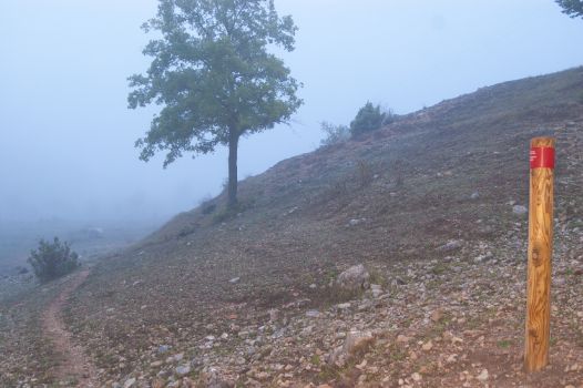
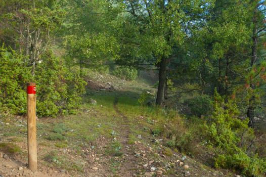
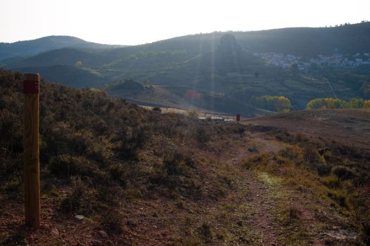
On the other hand, if you would like to faithfully follow the route of the Nature Trail, turn right from the road into Calle Cervantes and, after you reach the square, you will arrive at the parish church of San Miguel Arcángel on the left. Then, briefly turn left along Calle Fernando Royuela and, following the red and white markings characteristic of the Gran Recorridos (GR), go up Calle de la Fuente until you leave the village along a path on the right, following the GR markings.

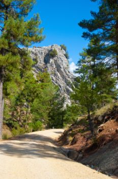
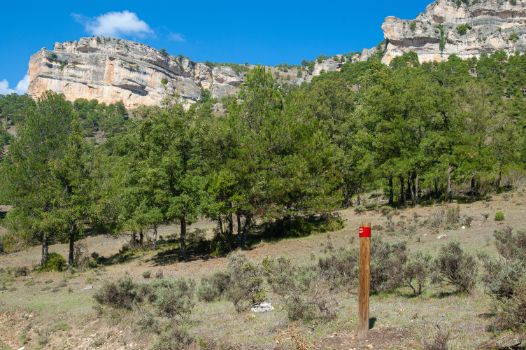
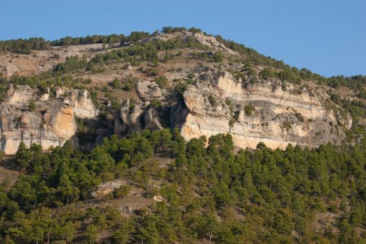
The route ascends flanked by pine woods on the right and meadows to the left, leaving the village of Tragacete behind. Before reaching the second kilometre of this stage, the path turns right, revealing to the traveller the classic landscape of the Serranía de Cuenca. A panoramic view in which you can see the buttes and cliffs eroded into the limestone rock, where you can often see imposing specimens of griffon vultures (Gyps fulvus).
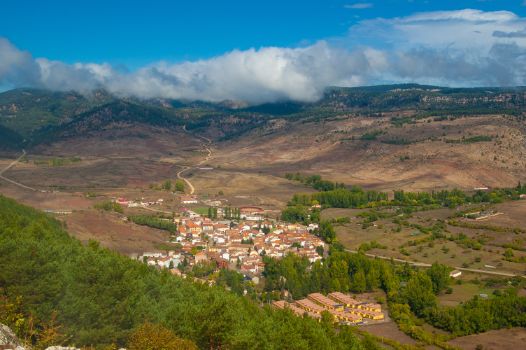
This climb ends shortly after the aforementioned kilometre marker, reaching the Tragacete Vantage Point (Cerro del Colmenarejo). To do so, the hiker will have to have diverted a little more than 250 m from the route of the Nature Trail, retracing his/her steps after enjoying the beautiful panoramic views of Tragacete, the surroundings of the source of the River Júcar and the Serranía de Cuenca this vantage point offers.
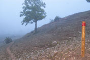
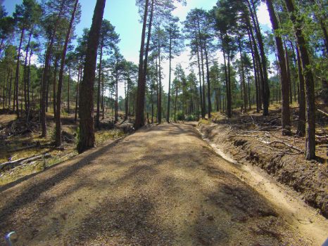
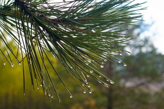
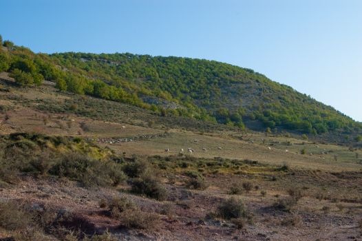
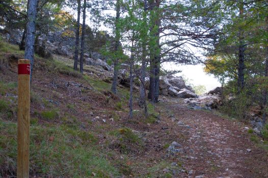
The next part of the stage runs through a good example of the most characteristic forest masses in the Serranía de Cuenca Natural Park: pine forests. It will not be difficult to find sheep ranging freely in these forests. Meanwhile, you can continue to enjoy the mountain scenery and the variety of scents with which the shrub and herbaceous stratum of these forests bewitches the touring cyclist’s sense of smell.
The kilometres pass with the traveller immersed in this sensory experience. A downhill section begins shortly before kilometre marker 6 and, once past this marker, you will Los Chorros Royal Drove Road. The stage does not abandon its transhumance and livestock farming roots and, after leaving the wide forest track and completing the descent, it turns right, where an interpretative panel offers further information about transhumance.

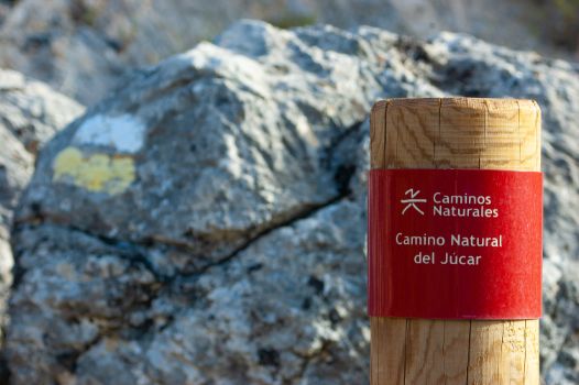
Once on the Cordel de Huélamo, there begins a long pedestrian section more than three kilometres long, along a narrow and sometimes cross-country path, so it is important to pay special attention to the Caminos Naturales signage. In this pedestrian section you can see the mouth of the River Almagrero emptying into the River Júcar from an enviable perspective. In fact, it was precisely at this mouth that most of the timber rafting along the Júcar began; this ancient practice consisted of transporting whole trunks of wood from the sierra along the course of the river. The people responsible for this work were rafters, who travelled along the river with only the help of a pole called a gancho.

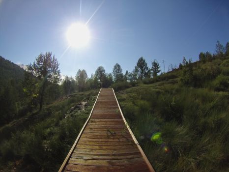
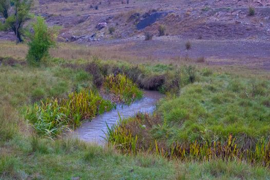
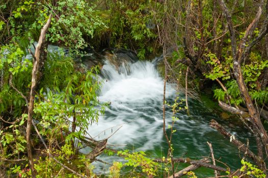
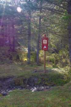
Then, a 100 m stretch marked as dangerous again forces hikers to sharpen their senses. Several small streams cross the route to meet the waters of the Júcar shortly afterwards. There are some stone steps and two wooden footbridges so you can cross them with no difficulty.
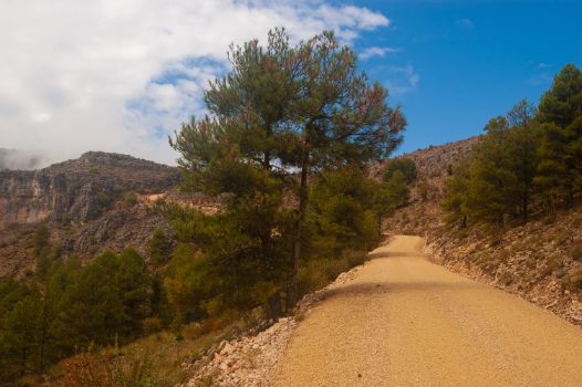
The walking section ends at kilometre point 11 of the stage, and there begins an ascent along a wide track into a new stand of pine trees where, after a little more than a kilometre, you will have to open a metal livestock gate to continue your journey; the gate must be properly closed after you pass through it.

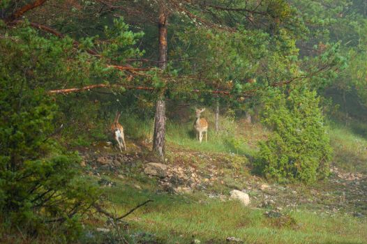
After completing the ascent, cliffs and buttes rise up in the landscape, delighting the hiker’s eyes. This particularly beautiful spot also features specimens of gall oak (Quercus faginea) and other species in the genus Quercus, as well as spectacular species such as the Montpellier maple (Acer monspessulanum). Hikers should also keep their ears open here, especially if travelling in autumn, to enjoy the intense bellowing of the red deer (Cervus elaphus) and even to listen to the twittering of various bird species and the ripe acorns falling from the gall oaks.
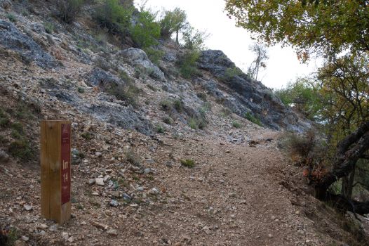
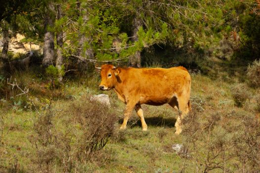
Cattle accompany travellers, who now leave the wide path and turn left onto a narrow path that precedes the beginning of the second and last pedestrian section. Shortly after kilometre 14 of the stage, there is a new gate, which travellers must open and close properly to prevent cattle from escaping.

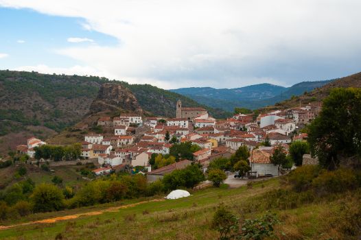
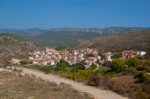
The descent starts from here. Huélamo and its hill are witnesses to this part of the stage and will be the star attractions until the end. At the end of the pedestrian section, which is just over one kilometre long, the route continues to descend until it reaches the CM-2105 road. After a few metres, cross the road using extreme caution, turn right and continue along the CM-9231 road. After crossing the River Júcar, the Nature Trail forks into two different routes, one for walkers and one for cyclists. The hiking route runs 600 m along the PR-CU 07 and is signposted with two parallel yellow and white horizontal stripes, as far as the village of Huélamo. Cyclists, in contrast, can make the final climb, with extreme caution, along the CM-9231 road for 1,200 m. This is a stretch with bends shared with road traffic as far as the interpretative panel, which brings this second stage to an end in the village of Huélamo.
Sites of interest
Puntos de interés
Culture
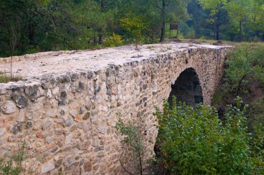
- Puente medieval de los Chorros o puente Almagrero
- La Cañada Real de los Chorros
- Aprisco y Fuente de la Herrería
- Cordel del Huélamo
Hydrography
Information
Municipality
Orography
Hostel
Profile
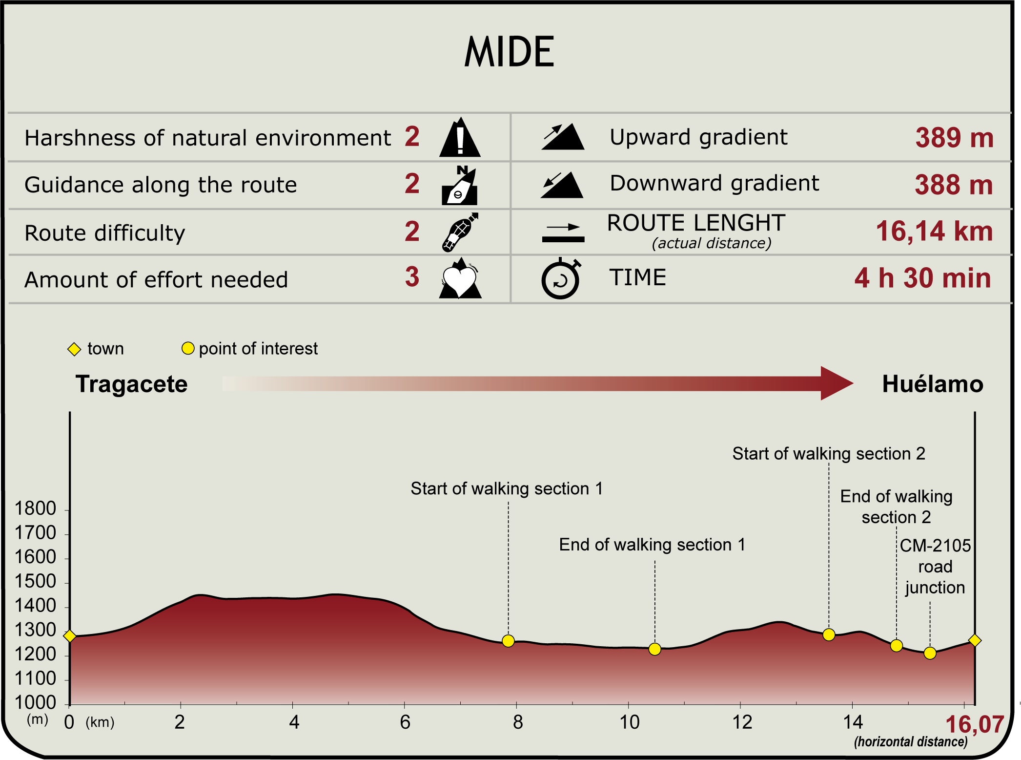
Highlights
Further information
Huélamo
A village in the Serranía de Cuenca that sits at an altitude of over 1,300 m above sea level near the Cerro del Castellar. The borough has been inhabited for millennia, as confirmed by Bronze Age ruins found at the Covacha de las Grajas site. Its name, which is of Arab origin, and the ruins of the castle on the adjacent hill, are the greatest surviving traces of that period. Later, after the Christian Reconquest, it belonged to the Order of Santiago.
Its economy has been based on agriculture, but the tourist sector is increasingly important thanks to its location in the Serranía de Cuenca Natural Park, with the River Júcar as a witness to its entire history.
The patron saint festivities are held on the first Sunday in September, in honour of Ntra. Sra. del Rosario, where a representation of the three municipal powers (the local council, the Church and the military), known as “Los Cargos,” is the central theme of these festivities.
Cordel de Huélamo
These corridors were of great importance for centuries, since 1273, when Alfonso X the Wise formed the Concejo de la Mesta de los Pastores del Mio Reyno. Thanks to the establishment of this body, livestock farming would enjoy its golden age, with Merino sheep being the most abundant of all, the quality of its wool achieving international renown and becoming one of the economic pillars of the era.
Multimedia
Downloads
GPS Downloads
Documents
Cyclability
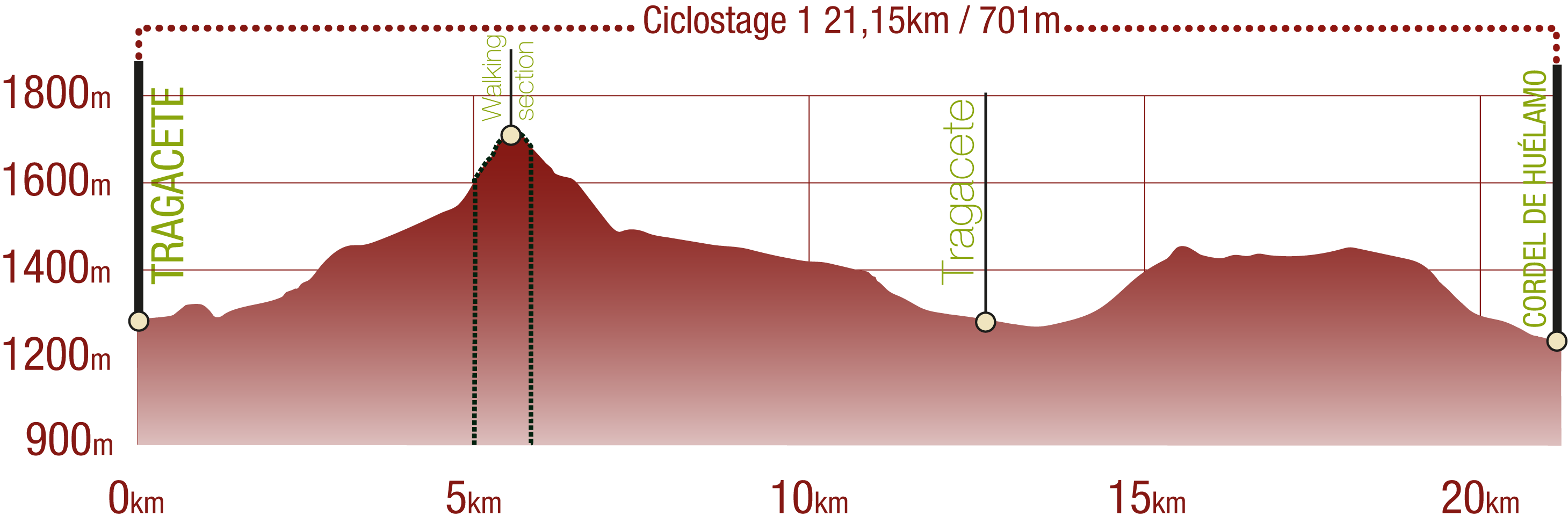
Cyclostage 1
This Cyclostage corresponds to stage 1 branch, stage 1 and part of stage 2 of the Nature Trail
Cyclostage 2
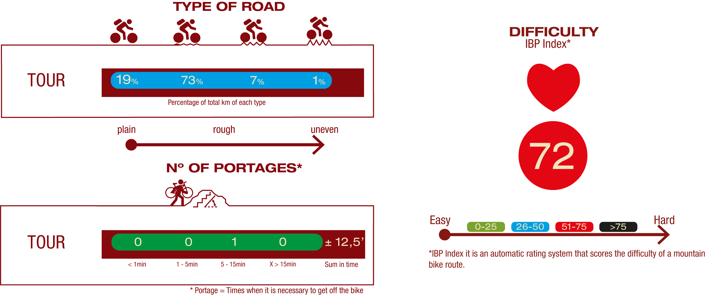
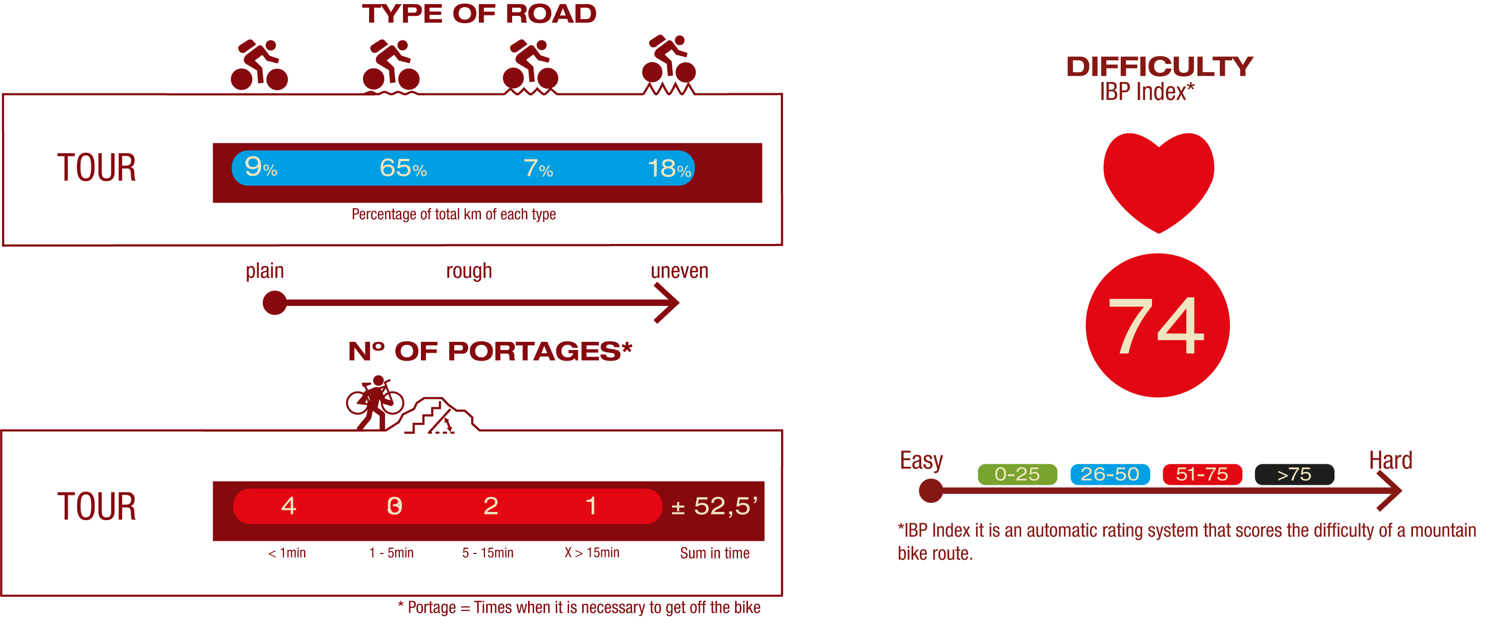
TYPE OF ROADS, PORTAGES & DIFFICULTY
SAFETY RECOMMENDATIONS (valid for cyclostages 1 and 2)
- Mountain stages for cyclists with a walking section between them of more than 3 kilometres.
- You must exercise extreme caution and carefully read all the information aimed at touring cyclists and you must abandon the trip if in doubt.
- There are portages on both cycle stages, path sections, sections with rocky outcrops, sections with loose stones, challenging climbs and long descents.
- They run through an area of great scenic value with the risks inherent in the Serranía de Cuenca.
GENERAL RECOMMENDATIONS (valid for cyclostages 1 and 2)
- Find out about the technical aspects of the route and the weather on the day.
- Take care of the environment. Take care not to disturb animals or damage vegetation. Respect private areas.
- You must give priority to pedestrians and comply with general traffic rules.
- The environment in which you will be riding is open, free to move around and an area where many activities are carried out (sporting, forestry, livestock and agricultural activities). Always have an understanding, prudent, responsible and respectful attitude.


