

Net of Nature
Trails

Stage: Albentosa - Barracas
Description
Between Teruel and Castellón, linking provinces and Autonomous Communities
This stage takes us from the beautiful and cold lands of Teruel to the charming Castellón, starting in Albentosa and passing by Venta del Aire, entering Castellón at the village of Barracas. Here, the old railway station has been spectacularly restored as the Estación del Palancar Camp or Forest Refuge.

A short stage, under 17 kilometres, starting in the village of Albentosa. Before starting the journey, a visit to the Parish Church of Nuestra Señora de los Ángeles, built on the remains of an earlier temple, and the remains of the 12th century Templar castle, is a must.
Setting out on our route, we find the remains of an old railway building, the stone walls of which are still preserved. After a few more metres, a small tunnel leads to a new kilometre marker where the Mediterranean scrubland unfolds in all its glory, with specimens of gall oak (Quercus faginea), Spanish juniper (Juniperus thurifera) and holm oak (Quercus ilex) and many other species.
The route alternates between small trench areas until it reaches a new kilometre marker, just before we reach a rest area equipped with tables, benches and bike racks. It's the perfect place to take a break and contemplate the reddish terrain that contrasts with the greenery of the surrounding vegetation.

Crossing the TE-V-6005, taking all due care, we reach kilometre marker 108 and pass Venta del Aire and the old Rubielos de Mora station building on the line that still runs today. A few metres further on, the old Rubielos station from the mining railway has been restored as new rest area, perfect for recharging the batteries.
After this short break we reach a small copse of stone pines (Pinus pinea). A sign tells us that Barracas is only 14 kilometres away. The landscape is dotted with almond groves (Prunus dulcis), and after another two kilometres, a new, smaller rest area appears. The journey continues downhill, and it is common to find other walkers and cyclists enjoying this pleasant route that's accessible for everyone, regardless of fitness level.
Coinciding with a new kilometre marker, it runs through an area of trenches reinforced with masonry walls. After a slight ascent, we reach a crossroads where a panel informs us of the highlights of the town of San Agustín.
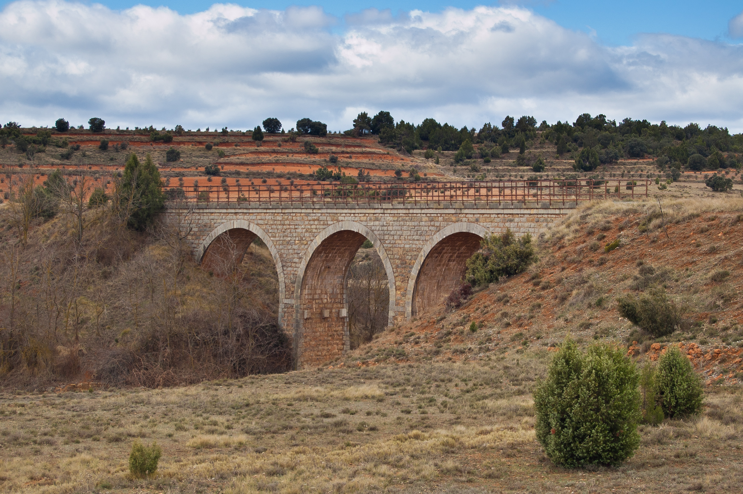
A three-arch viaduct built in stone precedes a new kilometre marker and after a further kilometre, a new three-arch viaduct offers beautiful views of the riverbed. On a clear day, this part of the route allows us to make out distant mountain ranges on the horizon, rewarding the traveller with unforgettable memories.

On reaching a new rest area, a sign some 200 metres away tells us we are six kilometres to Barracas. This is the point where the route crosses from the Autonomous Community of Aragon into Valencia and the province of Castellón, and the Alt Palància Site of Community Importance (SCI).
The kilometre markers continue in correlation with the numbering indicated in Aragon. The route describes several curves with a large turning radius, advancing through Mediterranean scrubland, surrounded by both common and Spanish juniper.

Two kilometres beyond the regional boundary, we reach the old Barracas station, which has been restored and reused as the Estación del Palancar Forest Camp/Forest Refuge. The site is equipped with barbecues, picnic areas and children's play areas. The route continues through the pine forest of Palancar de Abajo, a forest of Scots pine (Pinus sylvestris) and black pine (Pinus nigra), before, coinciding with another kilometre marker, it enters a small gall oak grove.
After another kilometre marker, the route tunes south as we catch our first glimpse of Barracas on the horizon. Having passed the last kilometre marker of the stage, we reach the village of Barracas, with its houses on the left of the route, marking the end of this stage of the Ojos Negros Greenway Nature Trail, part of the longer Santander-Mediterranean Nature Trail.
Managing Entities
Sites of interest
Puntos de interés
Infrastructure
Municipality
Hostel
Vegetation
Profile

 Harshness of natural environment
- 1. The environment is not risk-free
- 2. There are more than one risk factors
- 3. There are various risk factors
- 4. There are quite a lot of risk factors
- 5. There are many risk factors
 Guidance along the route
- 1. Well defined trails and crossings
- 2. There is a clearly marked trail and signage
- 3. Requires the identification of geographic features and cardinal points
- 4. Requires off-path navigation
- 5. The trail is interrupted by obstacles that have to be gone around
 Route difficulty
- 1. Walking on a flat surface
- 2. Trails with different types of path
- 3. Walking on stepped paths or irregular terrain
- 4. The use of hands or jumping over the terrain is necessary
- 5. The use of hands is required to progress
 Amount of effort needed
- 1. Up to 1 hour of continuous walking
- 2. Between 1 and 3 hours of continuous walking
- 3. Between 3 and 6 hours of continuous walking
- 4. Between 6 and 10 hours of actual walking
- 5. More than 10 hours of continuous walking
(Calculated according to the MIDE criteria for an average excursionist with a light load)
Highlights
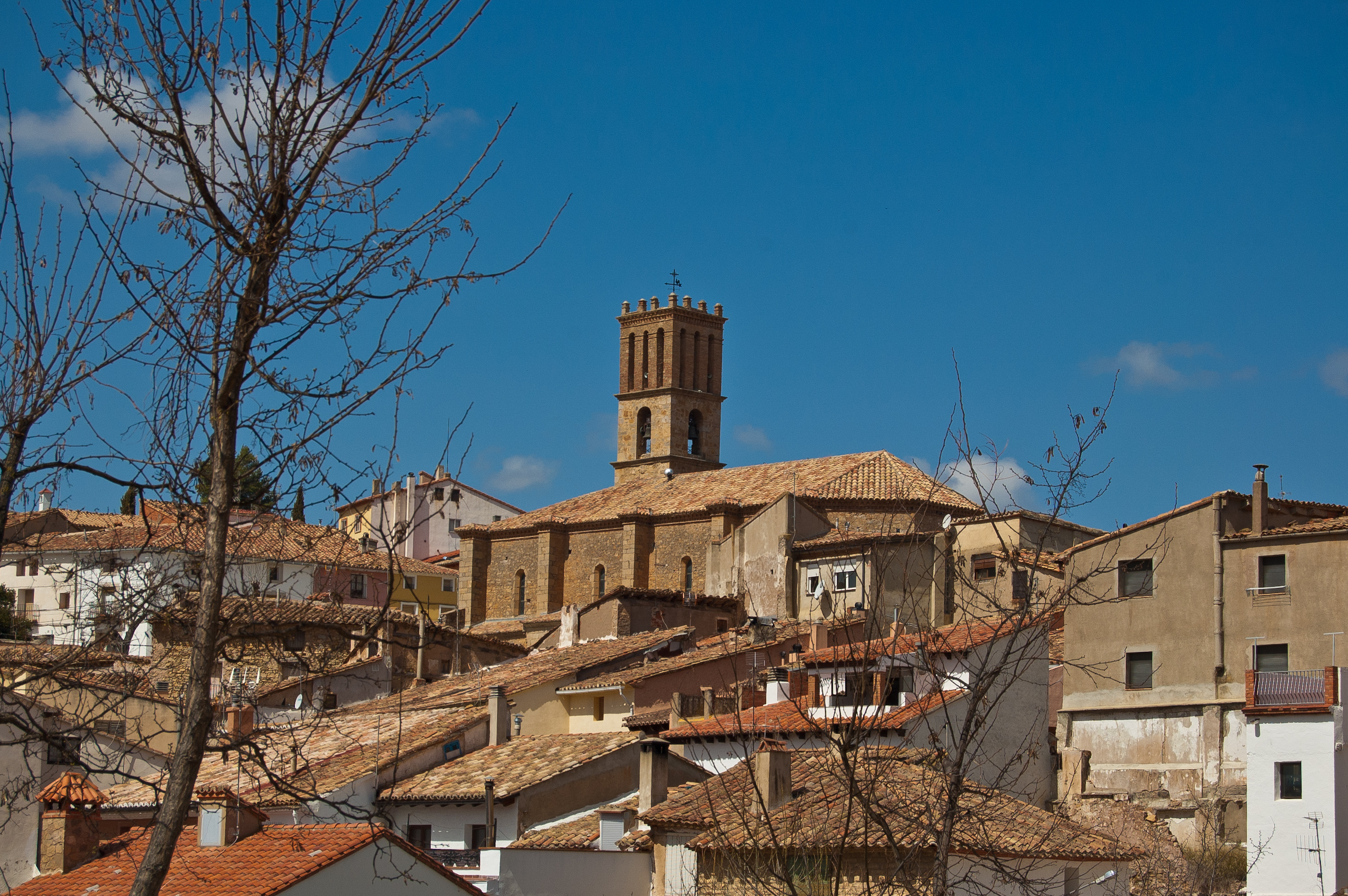
Barracas
Barracas is a picturesque municipality and village in Castellón, located in the comarca of Alto Palancia, between the foothills of the Javalambre mountain range and the village of Pina de Montalgrao, on a plateau that reaches an altitude of 981 metres.
The history of the village begins with its reconquest by James I the Conqueror who, in 1269, passed it to his son and thus incorporated it into the Lordship of Jérica. Later, in 1364, Pedro I passed it on Juan Alfonso de Jérica. In 1372, it was again donated by the king to the Infante Don Martín. The municipality would continue to change hands until, in 1564, by a ruling of the Sacro Supremo Regio of the Council of Aragon, it was declared Royal Heritage. The driving force behind the town's economic development was traditionally transhumant livestock farming, as the old royal road that ran between Aragon and Valencia crossed the lands of Barracas.
The railway line that carried materials from the Compañía de Sierra Menera's mine at Ojos Negros to the port of Sagunto also passed through the vicinity of this municipality. Barracas had its own station on this line. The closure of the railway service in 1972 left many of the structures along the line abandoned. Here at Barracas, however, the old station has been restored with picnic areas and a children's playground.
Today, the economy of Barracas is mainly based on the service sector, although a small percentage of the population continues to work in agriculture and livestock farming.
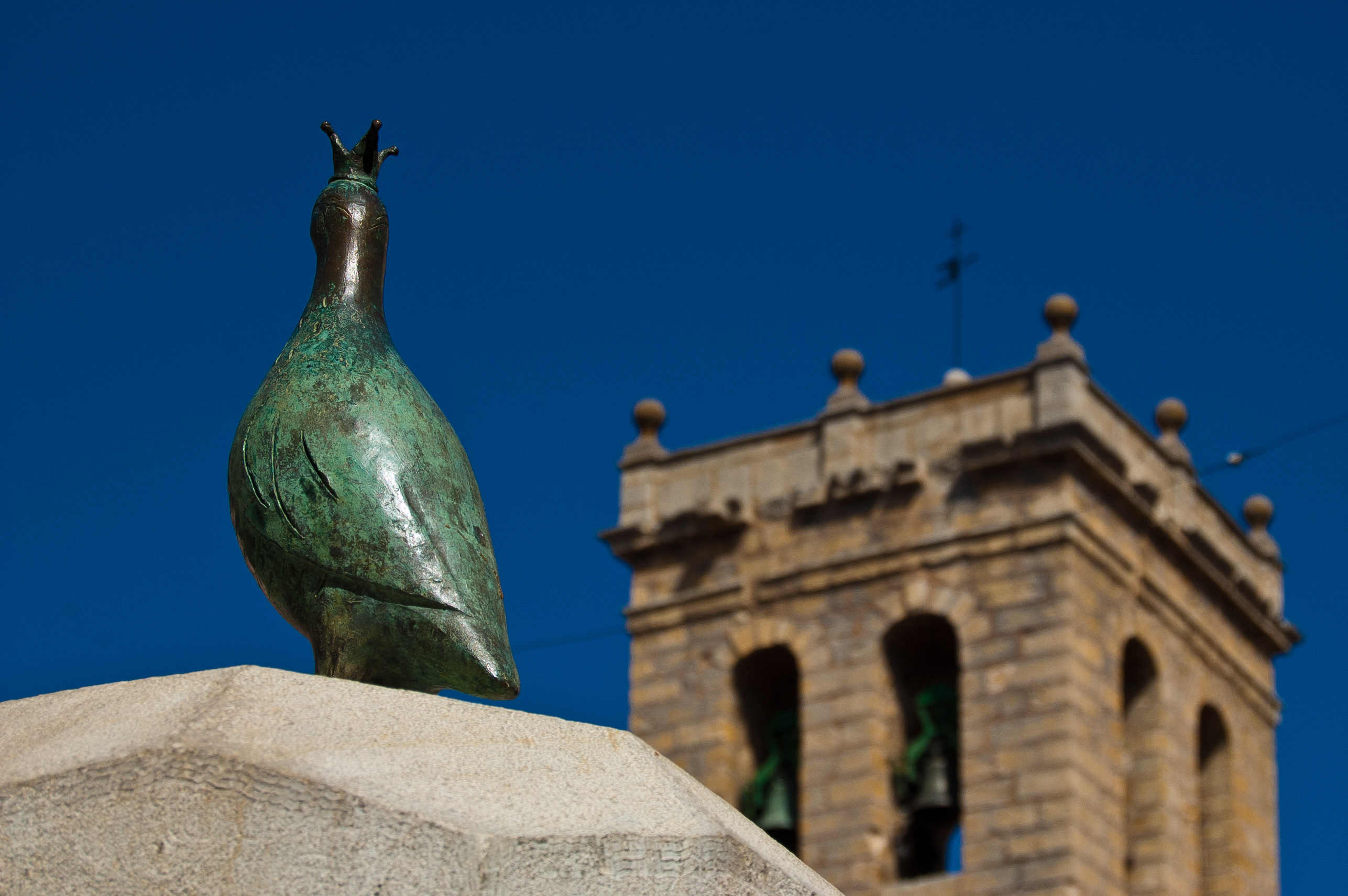
Its heritage includes the Church of San Pedro Apóstol, a 16th century Gothic style building with an imposing tower and rose window; the fountain of San Pedro, dating from 1576; the Shrine of San Roque, with its outstanding portico; and the voussoirs of the cemetery arch.
Barracas takes its local festivals seriously, with the Domingo de la Rosa celebrated on the first Sunday in May in honour of La Virgen de la Divina Pastora. Celebrations and pilgrimages in honour of San Pedro and San Roque are also important dates.
Multimedia


Downloads

GPS Downloads


Documents

Cyclability
CICLABILITY
This Cyclostage corresponds to stage Albentosa - Barracas and stage Barracas - Caudiel Burgos of the Nature Trail
PROFILE

TYPE OF ROADS, PORTAGES & DIFFICULTY

TEST

SAFETY RECOMMENDATIONS
- There are seven tunnels, six of them equipped with artificial lighting, several road crossings, a small shared section and two road crossings, ending the stage in the streets of Caudiel.
GENERAL RECOMMENDATIONS
- Find out about the technical aspects of the route and the weather on the day.
- Take care of the environment. Take care not to disturb animals or damage vegetation. Respect private areas. - You must give priority to pedestrians and comply with general traffic rules.
- The environment in which you will be riding is open, free to move around and an area where many activities are carried out (sporting, forestry, livestock and agricultural activities).
- Always have an understanding, prudent, responsible and respectful attitude.