Net of Natural
Trails

Stage 24: Alagón - Utebo
Description
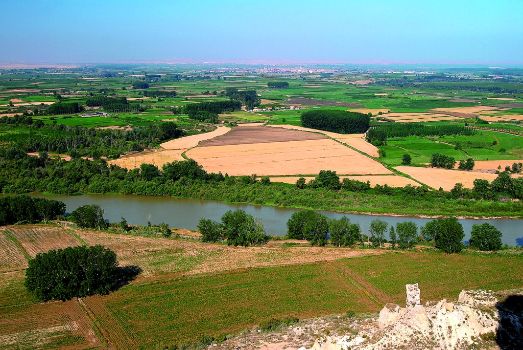
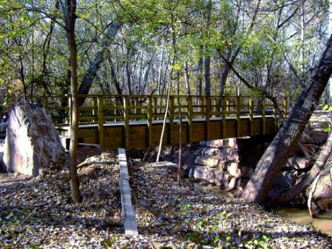
From Alagón (230 m), a leading industrial town located near the Opel España factory, the Ebro Nature Trail heads towards the bridge over the Saragossa railway and the AP-68 motorway, which it crosses via an overhead pass. On the opposite side, it continues one kilometre parallel to the motorway along a dirt road to the right, then drifts away to venture through crop fields and poplar groves, towards the River Jalón and Huerta del Castellar irrigation ditches. After 2 km along the river, it turns southwest and crosses an old footbridge, where it meets the Ebro BTT circuit. The Jalón, with a 9,338-km² basin, rises in Sierra Ministra (Soria), crosses the Ibérica, Algairén and Virgen (Saragossa) mountain ranges, and empties in the town of Torres, after travelling 224 km.

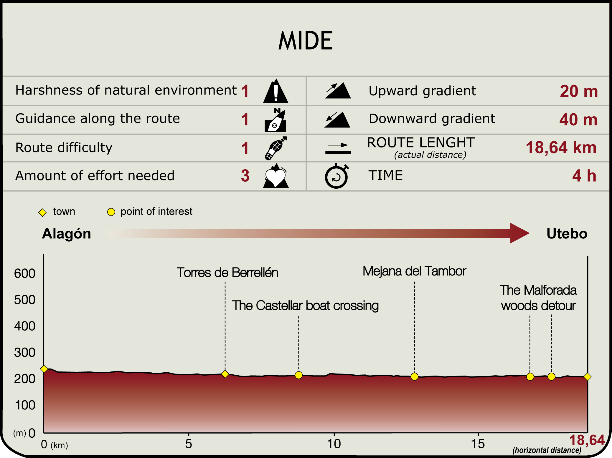
The GR 99 heads towards Torres de Berrellén (6.2 km, 1hr 15 min). This town was originally a cluster of farmhouses or "towers" that the residents of El Castellar built on the right bank of the Ebro (1080) when Sancho Ramírez erected a military fortification. The town is home to the Gothic-Mudejar parish church and tower of San Andrés (16c), the Villahermosa Palace (current town hall) built between the 17th and 19th century, and a neoclassical annex building that houses municipal services.
The road to Barca that leads to the Ebro and its escarpments starts at the Red Cross, past the Plano irrigation ditch, poplar groves and orchards, to arrive at El Castellar ferry (8.3 km, 1hr 40 min). From here, the road continues to the right, parallel to the river until Rompedizo grove, where it turns left, disregarding the track straight ahead.

The trail now heads through a dense riparian forest towards a dam. Immediately after, it veers right from the levee and winds parallel to a section of an irrigation canal, a lock on the Plano irrigation ditch and a small aqueduct. It then continues along the road to Huerta Baja towards Tambor Island, past the chapel of San Antonio (Sobradiel), which may be accessed via an offshoot road to the right of the main GR 99 trail.
From Tambor Island (12.7 km, 2hr 35 min), the route passes through San Antonio grove, leaving Candespina Island to the left. Immediately after, it reaches the offshoot road to Sobradiel (one kilometre from Tambor Island, about 15 min) which overlaps the Ebro BTT circuit. The town of Sobradiel relies on both agriculture and industry (mainly linked to Opel). It was governed by different lords in the past and its inhabitants worked as leaseholders until 1945, when they gained control of the land. At its heart stands the Baroque parish church of St. James (17c), the ancient palace of the Counts (current town hall) and the new palace (19c).

The only motorised transport to the grove, the Candespina ferry, can be found near the offshoot road to Sobradiel. From here, the route continues atop the levees, between poplar trees and a gravel pit, until it leaves the jetty behind and ventures into Alameda de Utebo grove. Parallel to El Cequiazo, a footbridge provides access to crop fields.
Utebo is two kilometres down the road to Soto. The road to Gilallar (left) heads along the river, first to the northeast, then south (road to Hortelana), drawing a circle around Malforada grove (210 m, 16.8 km, 3hr 25 min). Once the route reaches the opposite end of the road to Soto, it heads into the town, crossing through the AP-68 tunnel. The town is accessed via Antonio Machado Street (18.7 km, 3hr 50 min).
Sites of interest
Puntos de interés
Culture
Hydrography
Infrastructure
Municipality
Profile
Highlights
Further information
Utebo
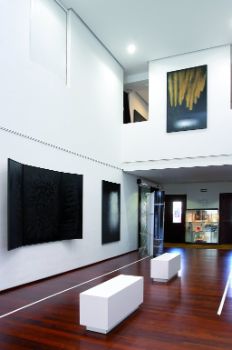
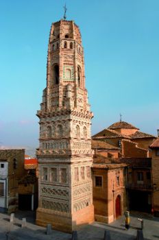
The town’s main economic engine is its diversified industrial sector, as well as commercial and financial services. With strong links to the early foundation of Caesaraugusta (1st century B.C.), its economic take-off began in 1906, when it gained independence. The town boasts the Mudejar parish church and tower of St. Mary (16c) and several Aragonese-style buildings and palaces (16th and 17th century), as well as modern architecture, such as the town hall or Mariano Mesonada Cultural Centre.


