Net of Natural
Trails

Stage 7: Los Canarios (Fuencaliente) - Villa de Mazo
Description
Walking among pines, volcanoes and vineyards
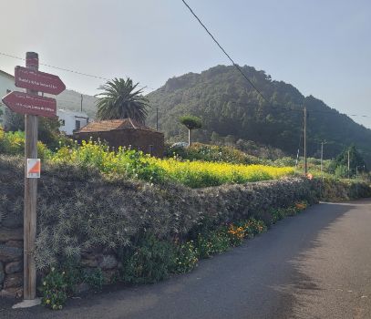
Stage 7 of the La Palma Nature Trail, with a distance of 15 kilometres, begins in Los Canarios at an altitude of 820 metres and offers a route that combines urban, agricultural and volcanic landscapes. Initially, the path crosses a pine forest with distinctive volcanic soil and continues along the southeastern slope of the island, bordering the Cumbre Vieja Natural Park and passing the Plaza del Pino de la Virgen before crossing the historic lava flow forms of the Martín de Tigalate volcano. The trail descends towards Monte de Luna, where it enters an agricultural track that reveals the rural life of the island. After crossing the LP-2, the route continues towards Villa de Mazo, crossing agricultural areas and passing the municipal cemetery. The stage concludes in the Montaña de las Toscas recreational area, near El Pueblo, offering a quiet finish in a natural setting.
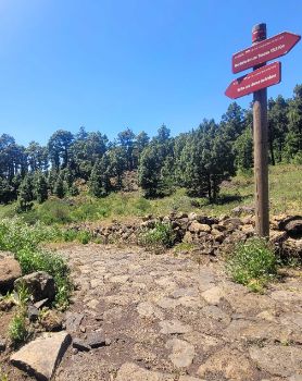
Stage 7 of the La Palma Nature Trail, also known as the Camino Real de la Costa y Medianías, starts in the village of Los Canarios, at the intersection with stage 3 of the GR-131. Starting at an altitude of 820 metres, the path starts just 400 metres east of the Pino de Santo Domingo recreation area.
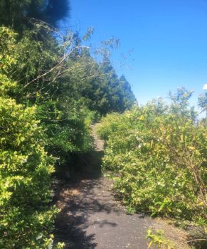
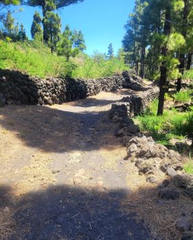
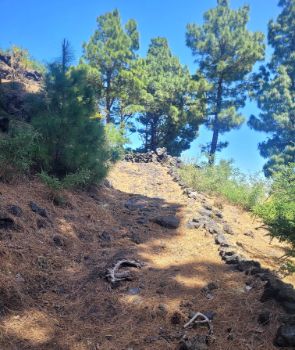
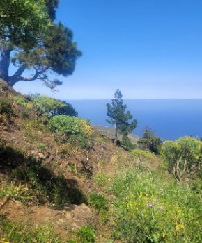
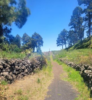
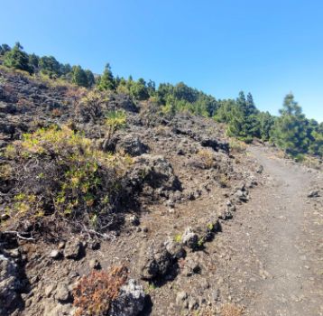
The path leads off to the right, along an earthy path flanked by low stone walls. As you walk, you pass through an extensive pine forest of Pinus canariensis, whose intense green contrasts with the black of the volcanic soil. This soil is mainly composed of eroded ancient lava flows, covered with small rocks and minerals such as ash and pyroclasts. The powerful blue of the Atlantic to the east and the gold of the fallen needles of the pine trees complete the picture.

Along the way, it is easy to spot some of the most outstanding species of La Palma's impressive fauna, such as the magpies (Pica pica), the La Palma giant lizard (Gallotia auaritae) and the Western Canaries lizard (Gallotia galloti palmae).
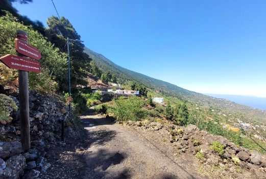
The path gradually turns to the right, skirting the southern tip of the island and entering its southeastern slope. From here, it continues in a northerly direction towards Villa de Mazo, following the edge of the Cumbre Vieja Natural Park on the left-hand side.
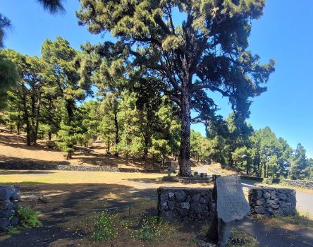
After a little more than 2.5 kilometres, the path goes for about 600 metres along the track that leads to the Fuente de los Roques, where the Plaza del Pino de la Virgen is located. In this peaceful place, a majestic pine tree houses the image of a Virgin attached to its trunk, which is venerated every second Sunday in August with a pilgrimage that starts from Los Canarios.

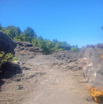
Once past the Pino de la Virgen, stage 7 continues straight on along the track for about 800 metres. Here, the asphalt track gives way to a paved road that climbs gently before entering the lava flow form landscape of the Martín de Tigalate volcano. Its 1646 eruption, which lasted some 82 days, left behind a landscape like something from another world, with a rugged and primitive terrain that evokes a lunar or extraterrestrial landscape. Despite the harsh geological conditions, nature has found its way, and the walker can observe how layers of lichen, scrub and species such as bejeque(Aeonium spathulatum), pennyroyal (Bystropogon origanifolius), calcosa(Rumex lunaria), ferns(Notholaena marantae, Cosentinia vellea) and tabaibal-cardonal formations have flourished, adding life and colour to this amazing volcanic landscape.
Beyond the lava flow features of the Martín de Tigalate volcano, the path crosses a more humid environment, where the vegetation becomes more exuberant and diverse. Here, the ground varies between a stone pavement and sandy soil, and it is easy to find larger shrubs such as heather (Erica arborea), faya (Myrica faya) and acebiño (Ilex canariensis), always surrounded by the omnipresent Canary Island pines. After some 500 metres in this leafier environment, the stage returns briefly to the Martín washes before beginning a gentle descent that leaves the wooded area behind and enters the northern section of the Monte de Luna district for 200 metres.

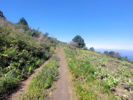
The path then turns to the left to take a track that crosses predominantly agricultural areas, where vineyards mingle with pine forests, all delimited by the characteristic stone walls. This 1.5-kilometre stretch is one of the most challenging parts of the route, as the path climbs some 25 metres before turning right through an area with steps. Here the path descends, running parallel to the Meredos ravine, and passing the last houses in the district before reaching the LP-2 road.
After 6.7 kilometres, the stage crosses the aforementioned road and continues parallel to it along a promenade on its right bank, crossing it again some 300 metres further on, opposite a rest area. A short distance further on, the path crosses a small stream and turns left to join a new track that leads in the direction of Villa de Mazo.

In this section, the track continues through the agricultural area, crossing two small watercourses before connecting with a path that leads directly to the gate of the municipal cemetery of Villa de Mazo. From here, following the cemetery street in a straight line, the path crosses the Tigalate district until it joins the LP-206 road. For 1.6 kilometres, the route runs parallel to the road, crossing it at several points and sharing the same route in some sections, so it is important to take extreme caution.
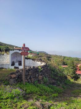
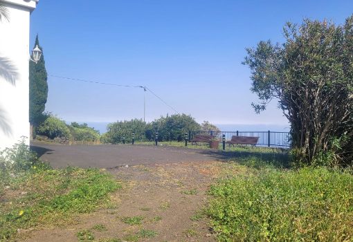
On reaching the district of Tirimaga, the path continues straight on along the Camino Viejo for 2.2 kilometres, leading to the San Simón ravine. Crossing the ravine, the path continues along a track parallel to the LP-206 road for 1.2 kilometres, leading to the Camino de Las Tocas, just outside the village of La Sabina. From here, the last stretch of the route takes us to the Montaña de las Toscas recreational area, located just 5 kilometres from El Pueblo, the main centre of Villa de Mazo.
Puntos de interés
Culture
Municipality
Hostel
Vegetation
Profile
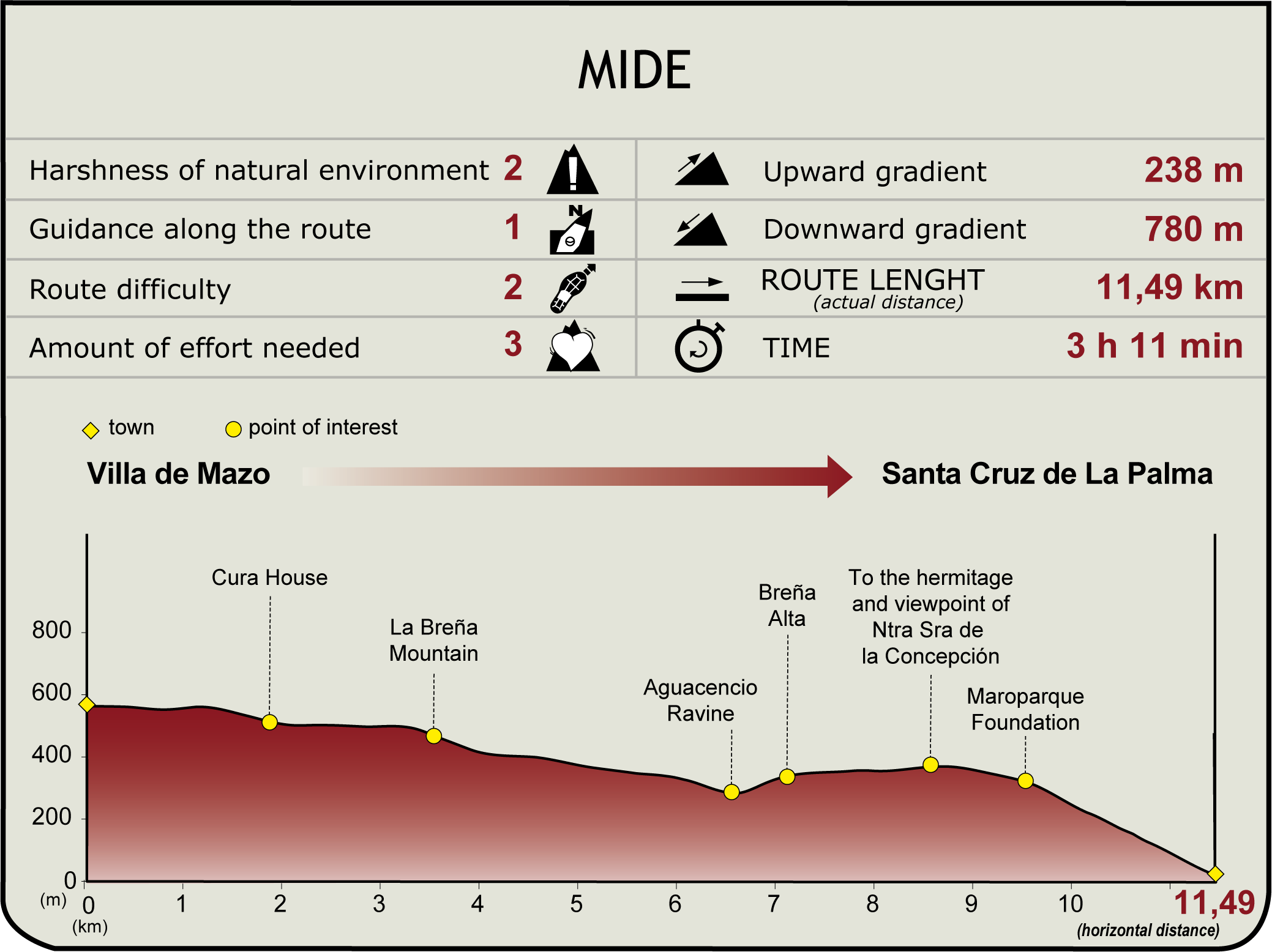
(Calculated according to the MIDE criteria for an average excursionist with a light load)
Highlights
Further information
Fuencaliente de La Palma
This charming municipality in the south of La Palma is a treasure trove of cultural and natural heritage. Known for its ancient hot springs and its deep historical link with the Spanish colonisation since the 15th century, Fuencaliente is spread out in picturesque villages such as Los Canarios, Las Indias, and other neighbourhoods such as Los Quemados and La Fajana.
Its natural gems include the impressive Cumbre Vieja Natural Park, the Fuencaliente Salt Flats, and the imposing San Antonio Volcano, while the historic lighthouses of Fuencaliente are an iconic landmark on the coastline. The local economy is based on a thriving agricultural sector, with banana plantations and vineyards that produce many of the La Palma Designation of Origin wines. The Grape Harvest Festival, or Fiesta de la Vendimia, celebrates this winemaking tradition. Fuencaliente also offers delicious fish and seafood and active tourism options such as hiking and diving.
Villa de Mazo
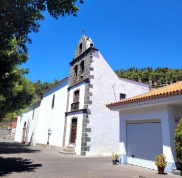
Located in the southeast of La Palma and bordering the Atlantic Ocean, Villa de Mazo is full of history, culture, and natural beauty. Among its fourteen neighbourhoods, El Pueblo—the municipal capital—stands out with its Town Hall and the 15th-century San Blas Parish Church. Founded after the Spanish conquest in 1492, Villa de Mazo is known for its volcanic terrain, fertile soils ideal for Malvasia grapes, and rich traditions in basketry and embroidery, which are showcased at the lively Municipal Market.
Visitors can explore the Belmaco Archaeological Park, renowned for its ancient petroglyphs, or enjoy hiking trails connecting the coastline with the Cumbre Vieja Natural Park. The Corpus Christi celebrations, held each spring with their floral arches and carpets, are a must-see cultural event. Local gastronomy—fresh fish, cheeses with mojo, and local wines—adds a deeply authentic touch to the experience.


