Net of Natural
Trails

Stage 21: Tudela - Buñuel
Description
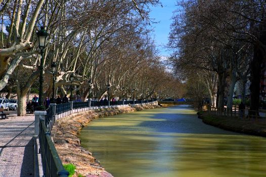
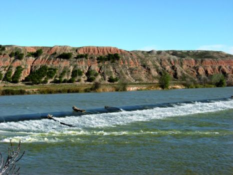
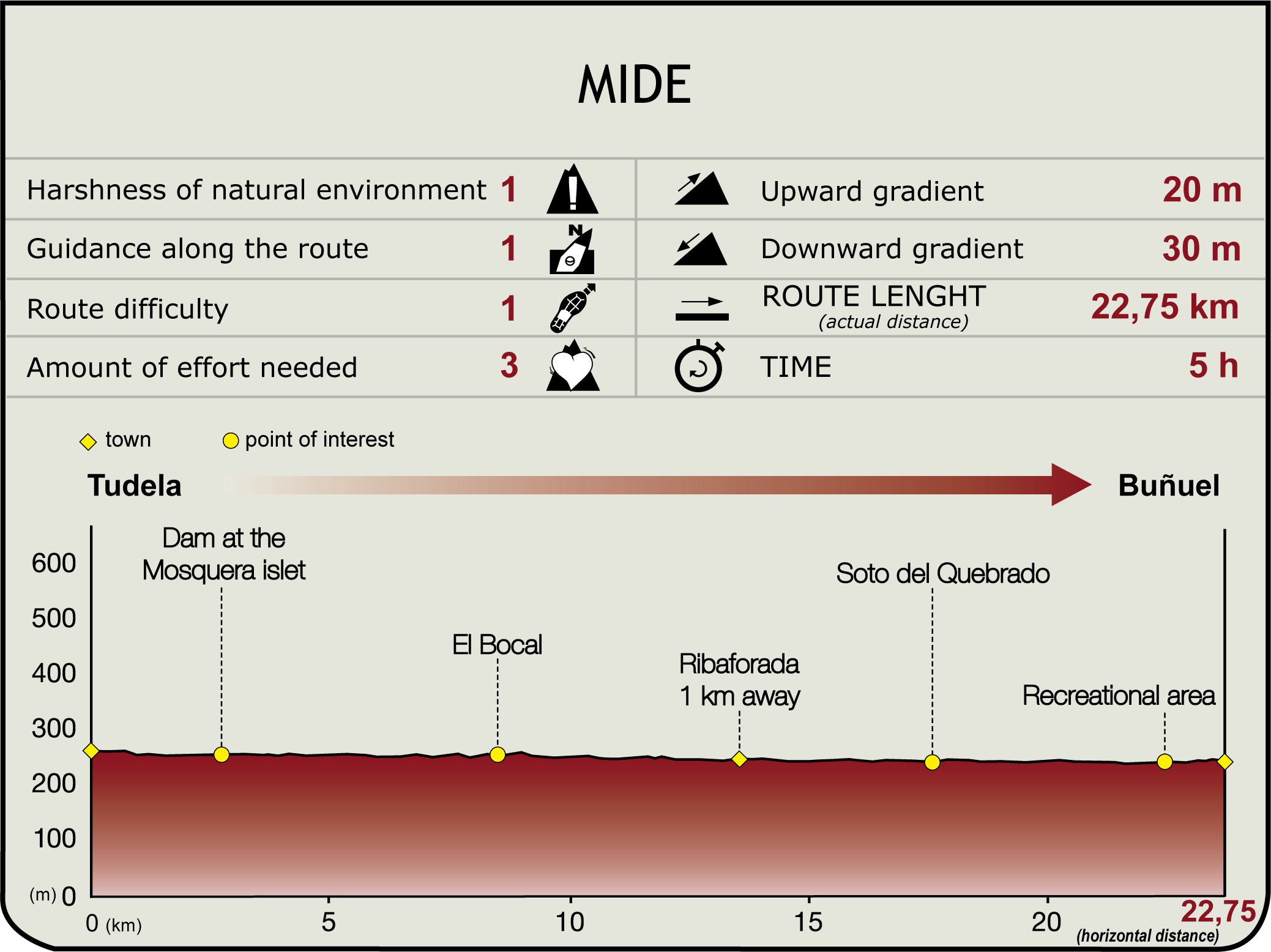
This Section begins in the west end of Prado de Tudela Park (250 m), near the mouth of the River Queiles, in this new green space. The Tarazonica Greenway starts at the end of this park. However, the Ebro Nature Trail turns left along the BTT route, towards the River Ebro, which continues along the road to Tamarigal. The trail reaches the island of Mosquera (2.7 km, 30min), origin of the Tauste Canal, whose sluice is on the opposite bank. Several islands have formed near the weir, the largest of which is cultivated and separated from the mainland by a flood channel.

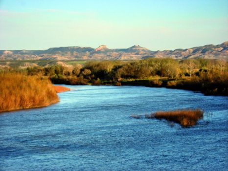
The route runs along the channel and continues parallel to the course of the Ebro. Further on, after crossing the River Tudela, the track ends in an opening, next to El Carrizal grove, in front of El Raso and Belver groves on the opposite bank.
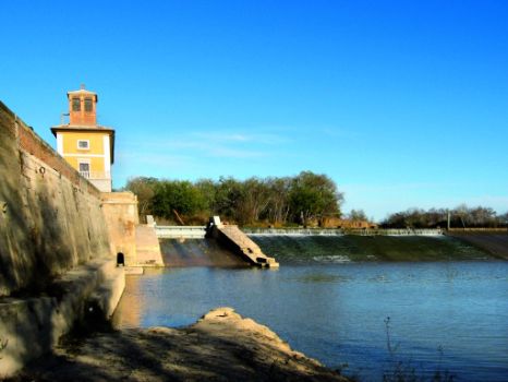
From here, a path flanked by reed beds leads to the gatehouse of the hamlet of El Bocal Real (municipality of Fontellas), the birthplace of the Canal Imperial de Aragón. The canal is divided into two parts. One is located next to the current dam (1790) and the gatehouse (1780) built by Ramon Pignatelli. A paved road leads to the opposite side, where the palace of King Charles V, commissioned to Gil Morlanes stands. The palace was built in the 16th century, and renovated in the 19th century. Gil Morlanes also built a dam, now in disuse, and a gatehouse destroyed by floodwaters in 1722. A majestic oak (Natural Monument of Navarre) can be found in the palace garden. There is also a hedge maze, a church, a small village where the maintenance staff live, a restaurant and a picnic area.

From the main entrance of El Bocal (8.7 km, 1hr 45min), the route passes next to Formigales Bridge, without crossing over the Canal Imperial de Aragón. It continues straight ahead, and then turns left (northeast), through the croplands of Fontellas Grove (Camino del Medio).
Shortly after, it turns again to the left towards the River Ebro defence system (with views of the towns of Cabanillas and Fustiñana, on the opposite bank). Past the side-track to Ribaforada located one kilometre down the road (13.6 km, 2hr 45min), it continues along the SL-NA 223, and crosses the NA-5200 that links Ribaforada and Fustiñana.
The route continues straight ahead, through an increasingly lush landscape, to Soto del Quebrado, Ramillo y Mejana Natural Reserve (municipality of Buñuel), populated with white poplars, elms, tamarisks, willows and many other riparian species (17.6 km, 3hr 35min).

Following the jetty, the next part of the route runs along the SL-NA 224 to the end of the Section, located in the recreation area populated by a large variety of tree species, near the town of Buñuel.
Soon after, the first buildings appear along the right track (240 m, 23.7 km, 4hr 50min). The town offers a range of services (accommodation and meals, etc.). It also is home to the contemporary church of Santa Ana, a building of Renaissance origin (16th C.), the palace of Condes de Altamira (18th C.), until recently occupied by the Order of St. John of Jerusalem, a library and a cultural centre.
Sites of interest
Puntos de interés
Culture
Hydrography
Municipality
Hostel
Vegetation
Profile
Highlights
Further information
The Canal Imperial de Aragón
A masterpiece in the history of water management in the River Ebro, it is one of the greatest hydraulic engineering feats in Europe. The Canal, whose construction began in the 18th century, was intended to be used both as an irrigation canal and navigation channel to the sea. Although the original idea dated back to Ferdinand the Catholic King, who granted the building permit to the Cortes of Aragon, the works did not begin until the reign of Charles I, when the water was first channelled into El Bocal de Fontellas. This channel is known as “Acequia Imperial”.
The project was revived when the “Compañía del Canal de Aragón” was formed in 1768, and Ramón Pignatelli was appointed its advocate in 1772. Pignatelli completed the Jalón aqueduct (1780), the main stumbling block to the Acequia Imperial. The water reached Saragossa for the first time in 1786. The work of thousands of peasants, prisoners and soldiers bore its fruit. In 1826, the discovery of clay deposits used to line the canal made possible the continuation of the construction work, at intervals, during the nineteenth century.
The Canal traverses the towns of Ribaforada, Buñuel and Cortes in Navarre, and ventures into Aragón, through Novillas, Mallén, Gallur, Boquiñeni, Luceni, Pedrola, Figueruelas, Grisén, Alagón, Pinseque, Saragossa, El Burgo and Fuentes de Ebro. Here ends the 110 km journey, in which the Canal has to overcome a 125 m difference in height. The Canal, with a flow rate of between 25 and 30 m³/s, irrigates almost 27,000 ha. The work abounds with examples of hydraulic engineering prowess, including architectural elements such as irrigation beacons, aqueducts, traps and docks, as well as constructions such as the dam and the palace of Charles V or Pignatelli's gatehouses. The Canal administratively depends on the Confederación Hidrográfica del Ebro (CHE).


