Net of Natural
Trails

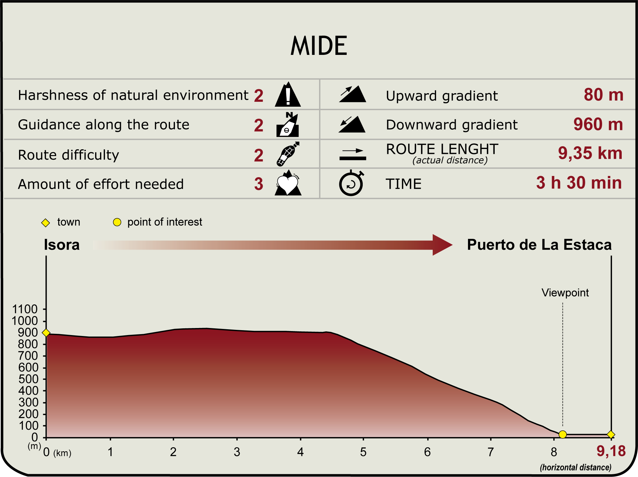
Stage 7: Isora - Tiñor - Puerto de La Estaca
Description
Along the Cliffs of Timijiraque
After leaving the village of Isora in the direction of Los Llanos, the trail goes between farms and grasslands until it reaches the summit of the cliff of Tiñor, included in the protected landscape of Timijiraque, from which it descends along a steep slope toward the sea promenade of Puerto de La Estaca.

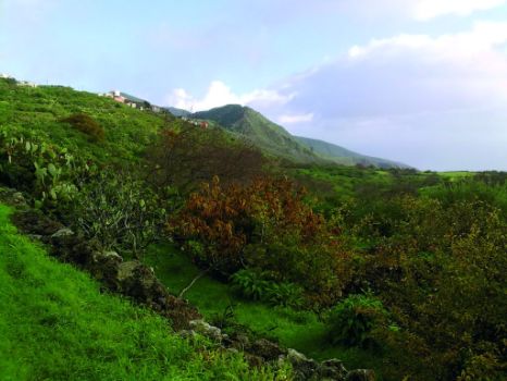
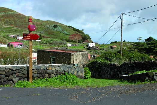
From the main square of Isora, once we leave behind us the turn-off to Mirador de la Fuente, we go down the street that leads to Los Llanos (The Plains), an area that owes its name to its orographic features and has been used by the population of El Hierro to cultivate crops. As we have seen in other stretches of the trail, stone walls separate the path from adjacent farms. This spot of the trail offers magnificent views of the Fardón, Aragando and La Fortaleza mountains.
The first leg of the trail goes in a northeasterly direction along paved roads hemmed in by stone walls, some of them terraced, and many of them invaded by shrubs.
The asphalt road ends near a car scrapping yard, and turns into a narrow path flanked by stone walls which, for a kilometer, goes through sweet chestnut fields (Castanea sativa) and green meadows invaded by prickly pears (Opuntia maxima).

Once we leave the wooded area, the path turns sharply to the southeast, offering an excellent vantage point from which to see the eastern coast of the island. From this point there is a descent along an increasingly steep slope, although the going never gets too tough. In this stretch, the landscape is dominated by extensive grasslands enclosed by dry stone walls, among which we can see crop lands occupied by colonizing vegetation such as prickly pears, very abundant here, tabaibas (Euphorbia sp.), and some bejeque or giant velvet rose (Aeonium canariense). Among the grasslands rises the squat and robust shape of a lonely cypress whose profile is silhouetted against the blue background of the sea.
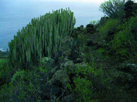
The trail continues its gentle descent until it reaches the upper part of the cliff of Tiñor, where the trail goes into the Protected Landscape of Timijiraque, a virgin area with gigantic cliffs and what may well be the most remarkable specimens of cardonales or canary Island teasel (Euphorbia canaríensis) on the island.

Once we are on the top of the cliff of Tiñor we have a complete view of our destination, Puerto de la Estaca. However, the steep slopes of this rugged cliff, both on its lateral and its longitudinal walls, pose a barrier to our descent that will force us to make a detour along the right side of the cliff, along grounds that have a dark and reddish hue.
The last stretch of the trail descends more steeply until it reaches the opposite tip of the sea promenade which is a short walk to the harbor. While we walk the last meters on a paved path, we can relax with the view of the boats swaying gently in the calm waters of Puerto de La Estaca, which is the main access point to the island by sea, where the trail ends.
Profile

Highlights
Further information
Paisaje Protegido de Timijiraque
The protected landscape of Timijiraque is situated on the northeast side of the island, including a section of the mountainside of Azofa, which runs parallel to the coastline in a northeast-southwest direction. The whole area offers scenic views travelers can enjoy on the west side of the coastline road that links Puerto de La Estaca and Las Playas.
Named a protected landscape in 1994, the most important features of this protected natural space of the Canary Islands relate to the cracked structure of its deep ravines, from which it derives its name, which etymologically means more or less “furrowed brow” or “angry forehead”. In Timijiraque there are formations dating back to the oldest periods of the geological history of the island.
Almost all the geologic materials that form this Protected Landscape belong to the Ancient Series A (between 0.8 and 0.5 million of years). This volcanic series consists of stacked basaltic flows that appear on the cliffs of Tiñor, Honduras and Del Balón. Between the first two cliffs we find a geologic example of the so-called Intermediate Series: Volcán de Las Tijeretas.
In addition to its already mentioned geological significance, the area has biological items and ecosystems of great interest, particularly communities of savin juniper, broom and Canary Island spurge (Euphorbia canariensis) not very common in El Hierro. Some remaining spurges which have disappeared from other areas survive on the slopes and inner escarpments of the Protected Landscape of Timijiraque, as well as an interesting diversity of habitats, including some rare plant species such as the fire tongue (Potycarpaea smithii).


