Net of Natural
Trails

Stage 12: Ermita Virgen de la Peña - San Andrés-Jinama
Description
- - - - - - - -
IMPORTANT NOTICE!
DUE TO LANDSLIDES, SOME SECTIONS OF THIS NATURAL PATH ARE IN POOR CONDITION AND, FOR SAFETY REASONS, THIS SECTION IS TEMPORARILY CLOSED. ALTERNATIVE ROUTES ARE RECOMMENDED, AND EXTRA CAUTION SHOULD BE TAKEN IN AREAS CLOSE TO THE AFFECTED POINTS.
THE EVALUATION AND REPAIR WORK IS EXPECTED TO BE COMPLETED IN MAY.
THANK YOU FOR YOUR UNDERSTANDING.
- - - - - - - -
Along the Green Pastures of Nisdafe
This stage of the circular path goes into the green meadows on the plateau of Nisdafe, a large plain with a humid climate that presides over the interior of the island and rises to the viewpoint of Jinama, a privileged vantage point overlooking the spectacular scenery of Valle de El Golfo.

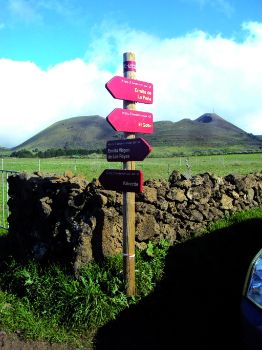
From the shrine of the Virgen de la Peña, the circular path ascends following dirt tracks in good condition until it reaches the plateau of Nisdafe, a plain that dominates the interior of the island of El Hierro. Situated 900 to 1,200 m above sea level, Nisdafe is a wetland with green meadows and abundant pasture for the cattle that grazes calmly on farms enclosed by stone walls.
If the constant mists that usually envelop the region allow it, we can admire the splendor of this green plain, whose view evokes landscapes more characteristic of other latitudes in the north of the Iberian Peninsula or Europe than of a place like the Canary Islands, closer to the tropics.
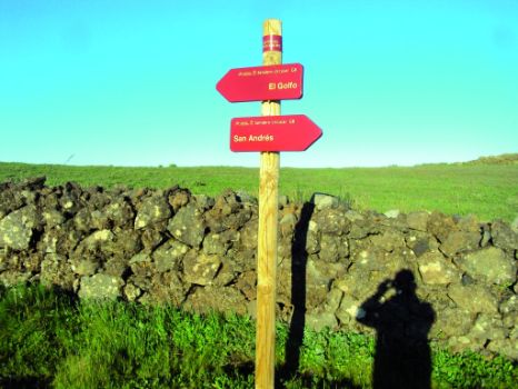
For a little over a kilometer, the trail goes along a road that climbs gently to the viewpoint of Jinama. Before arriving there, a marked detour takes us by wide forest tracks to the highest village on the island: San Andrés.

All the roads crossing the island start at San Andrés, a village located over 900 m above sea level. The village has a continental climate, with warm summers and cool, damp and misty winters. The mist lasts all through the day and, frequently, also all night long.
Its economy is mainly based on agriculture and livestock, particularly sheep farming, which produces high-quality wool from which are made the traditional El Hierro capes used by shepherds to protect themselves against cold and humidity.
The trail stops short of San Andres - we will only see the church, built in the seventeenth century and one of the oldest on the island - since the trail makes a sharp turn in order to go back to landscapes dominated by large meadows, which will accompany us for the rest of this section of the trail.

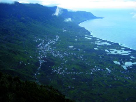
The path continues its gentle ascent until reaching the viewpoint of Jinama, situated 1,230 m above sea level. The viewpoint at Jinama is one of the most remarkable of the island, making it possible for visitors to admire the full extent of El Golfo Valley.
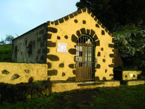
Next to the viewpoint, we can see the shrine of the Virgen de la Caridad, an image of the Virgin to whose protection commended themselves walkers during their journey and in front of which travelers expressed their gratitude for their return to the villages of the interior. From this construction begins a track that was used during the seasonal migration of herds (trashumancia) from the Frontera valley to the Nisdafe plateau.
Profile
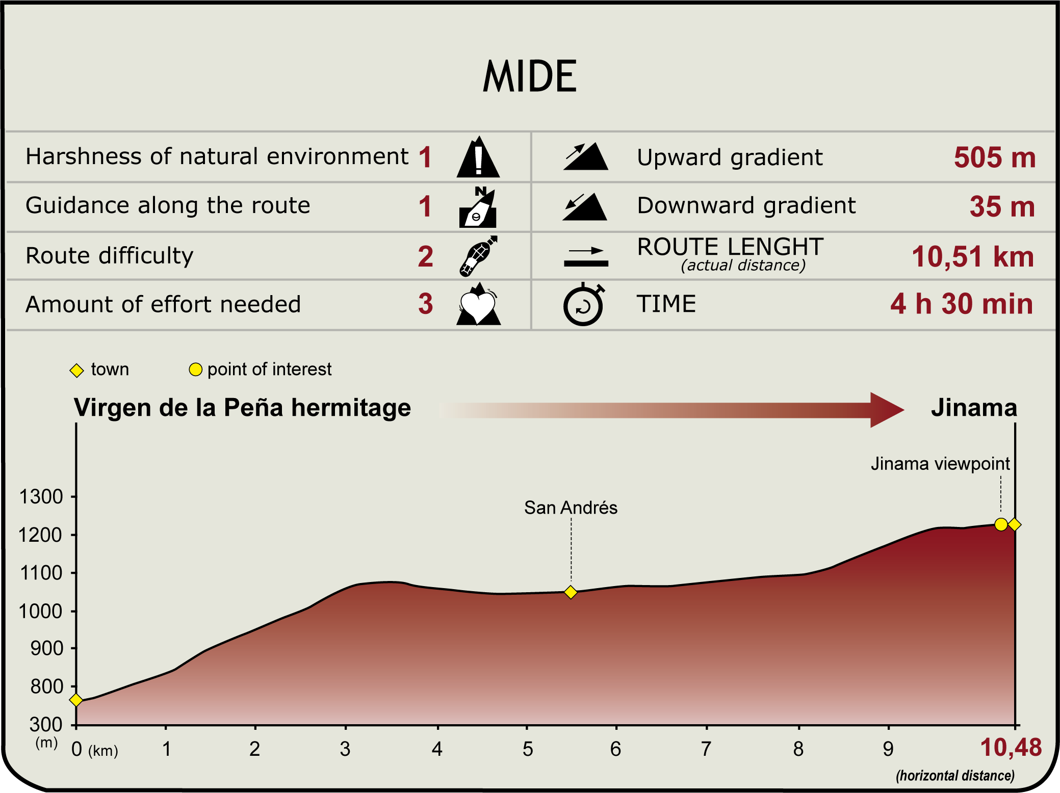
(Calculated according to the MIDE criteria for an average excursionist with a light load)
Highlights
Further information
The Vegetation of the Plateau
The first settlements in the plateau of Nisdafe took place around the fifteenth century by people of the island seeking protection against the attacks of intruders by moving to those regions of the plateau that couldn't be seen from the sea.
Originally, the plain was covered by evergreen and laurel forests, but the economic needs of the local population led to the deforestation of the area and its transformation into land suitable for farming and livestock rearing.
El Valle de El Golfo
The valley named Valle de El Golfo is a fertile land with abundant vegetation; it is, accordingly, the main farming area of the island of El Hierro. In the valley, vineyards have gradually given way to fruits such as pineapple, papaya or avocado, in addition to Canary banana.
Surrounded by high cliffs, Valle de El Golfo is a depression formed during the middle period of eruptions, as a result of an erosion process that caused the fall of land off the island into the sea, causing a mega-tsunami.


