Net of Natural
Trails

Stage 1: Verodal - El Sabinar
Description
A Unique Landscape of Lava and Juniper
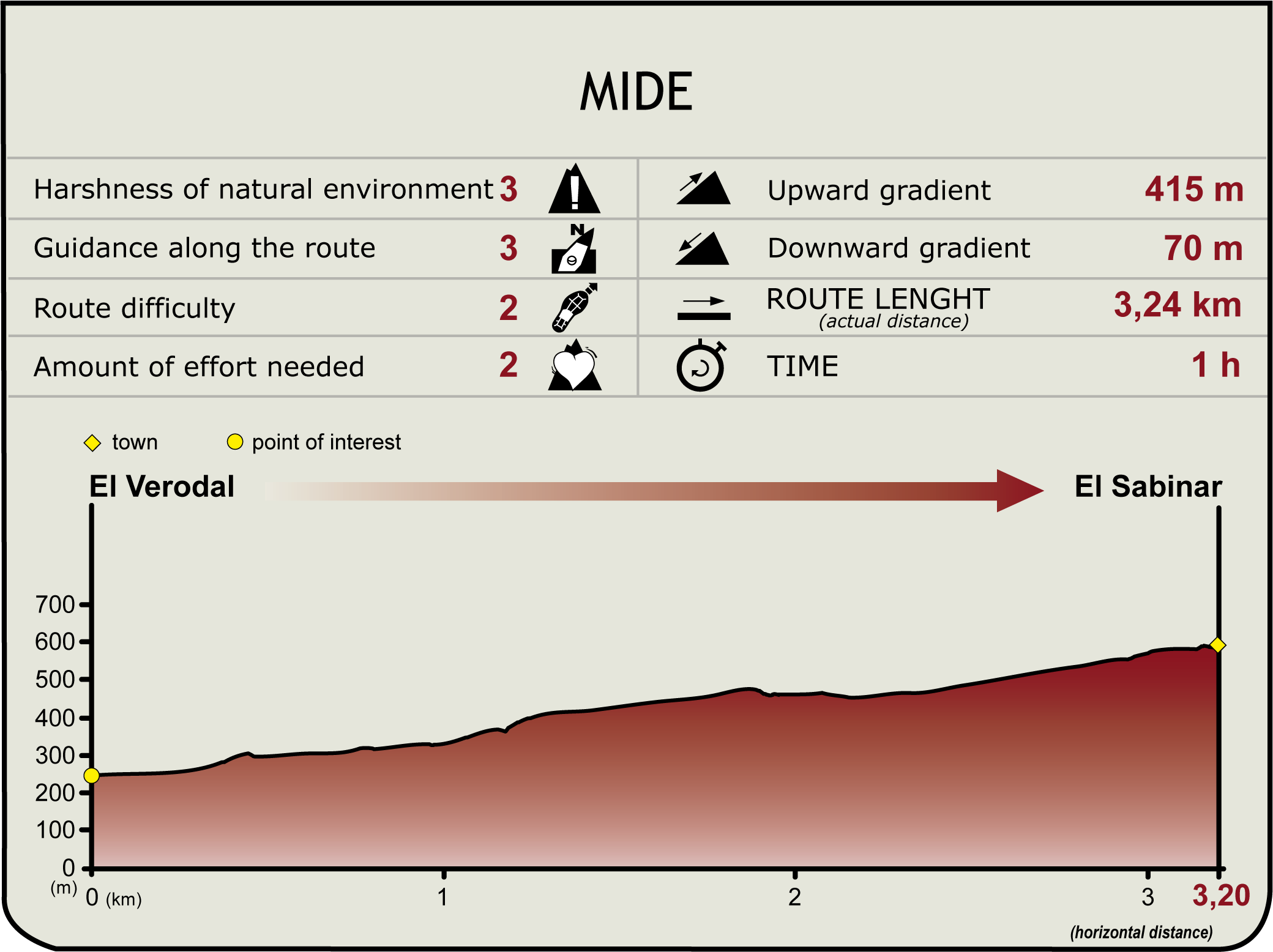
The beginning of the circular trail goes along the Rural Park of Frontera, leaving behind the astonishing scenery of El Lajial, and entering a juniper forest where nature has shaped quaint and bizarre figures on the lava ground and juniper forests.

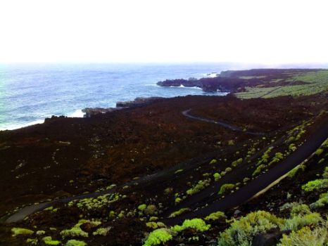
The circular trail begins on the hillsides of Charcos Mountain, at the intersection with the sinuous road down to El Verodal beach. In this area, hikers can enjoy amazing views of the west coast of El Hierro and a usually rough sea hitting the volcanic necks and points along the coastline.
In addition to the coast, we can see crop lands and a roped lava field called El Lajial, created in the last eruption of the volcano La Restinga.
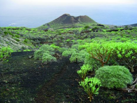
In the starting point of the trail, we go past Montaña del Escobar (Escobar Mountain) to the right, and we ascend gently along a concealed path where the entire ground is covered with thick scrubland vegetation consisting mainly of tabaiba (Euphorbia sp.) and verode (Senecio kleinia), as well as other plants typical of coastal environments.

Upon reaching the site known as Lomo Negro, the trail changes direction, heading south. In this stretch of the trail, we can see Montaña Marcos, on our left, which is one of the many volcanic cones scattered across the island.
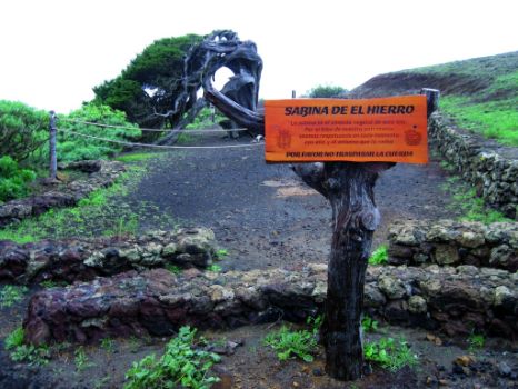
Further on, the trail ascends again on typically volcanic picón (charcoal) ground, this time heading for peak Escobar, 450 m away, surrounded by profuse scrubland vegetation. As we reach the summit, there appears the typical Hierro landscape of savins (Juniperus turbinata ssp. canariensis), twisted and carved by the action of the strong winds and the harsh weather conditions prevailing in this part of the island.
Entidades gestoras
Profile
Highlights
Further information
El Lajial
The Lajial is an area of malpaís or badlands (a relief feature characteristic of arid regions, formed by eroded volcanic rocks) located on the southern tip of the island very close to La Restinga. This is a restricted use zone in Parque Natural de Frontera (rural park of Frontera). Morphologically, the landscape is very similar to the original lava flows that created this area, originating odd shapes and numerous volcanic cones, when the lava cooled off.
There are eight important volcanic edifices in this area: Roque Grande, with an altitude of 458 m; Roque Cueva Palomas (437 m); Montaña de Julán (458 m); Lomito Atravesado (234 m); Montaña de Los Carriles (294 m); Montaña Irama (254 m); Montaña Restinga (198 m); Montaña Colorada (185 metres), and Montaña Puerto Naos (158 m).
El Sabinar
The quaint shapes of savin junipers have turned this species into a plant symbol of the island of El Hierro, and this particular grove is one of the most striking on the island. El Sabinar is a restricted use zone located in the northwestern part of the Rural Park of Frontera, and it has been listed in the inventory of natural spaces subject to special protection since 1975. It is home to the more robust and characteristic juniper formations of the island, and it spans an area of over 262.6 ha (2.1% of the entire park).
Savin juniper, a species native to El Hierro, has a dense, dark green crown that can reach up to 5 m, although some specimens have been found to exceed 5 m. Its trunk is highly branched and usually twisted in appearance, with very small leaves, like scales, overlapped covering the branches and very deep roots.
Juniper forests used to be very abundant in the Canary Islands, covering large areas of ground, and their timber was in very high demand for the production of weapons, utensils and coffered ceilings. However, the increasing settlement of population in the middle areas of the island from the fifteenth century meant that juniper forests were wiped out in order to reclaim land for crops and pastures.


