

Net of Nature
Trails

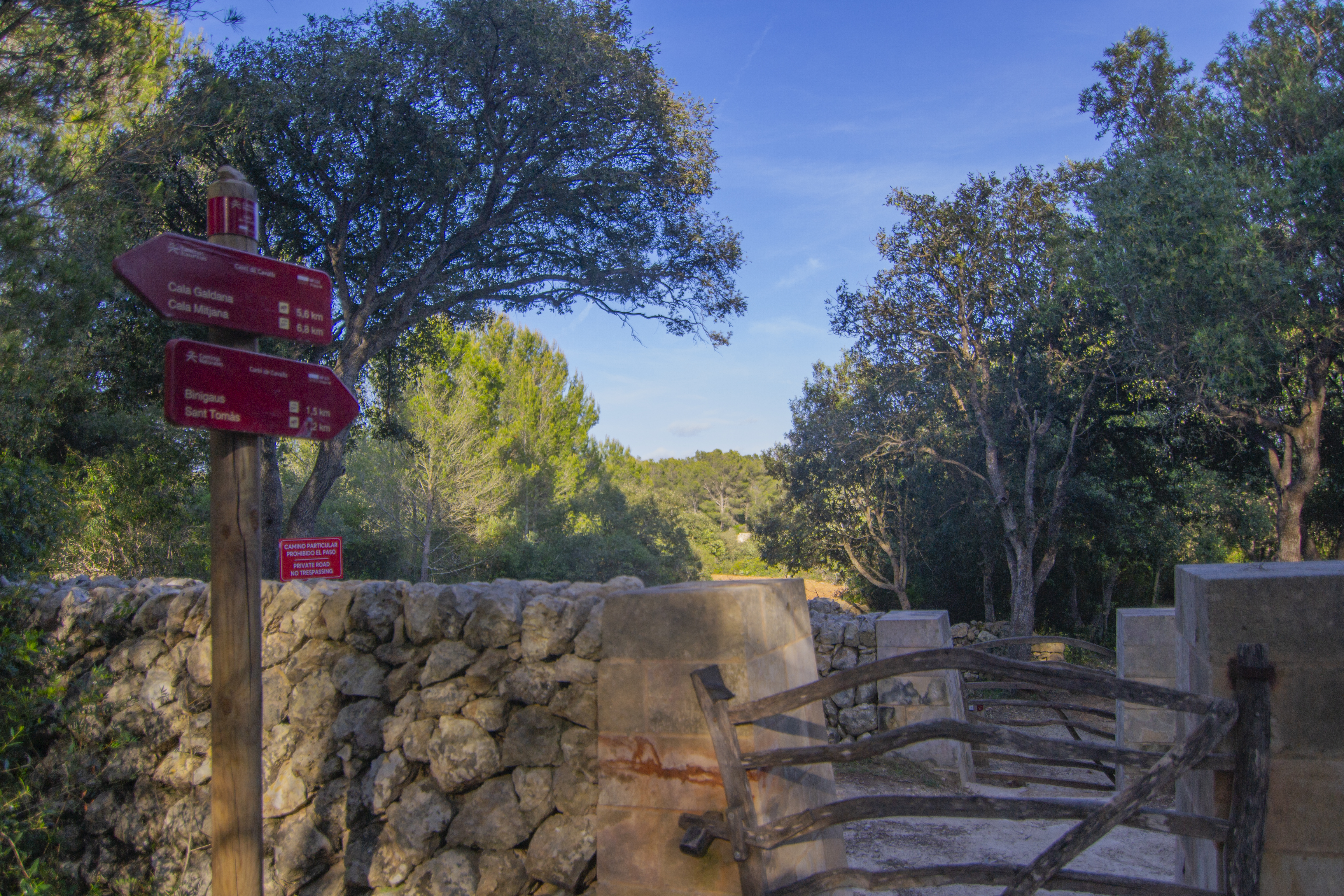
Stage 14: Cala Galdana - Sant Tomàs
Description
Dense woods and some of Menorca's most important ravines
Most of the route of this stage takes place under the shade of a dense wood of Aleppo pines and other Mediterranean species, passing through some of the most important ravines on the island, such as Trebalúger, Sa Cova, Sa Torre and Binigaus. The latter is especially famous for its caves, especially the impressive Cova des Coloms.

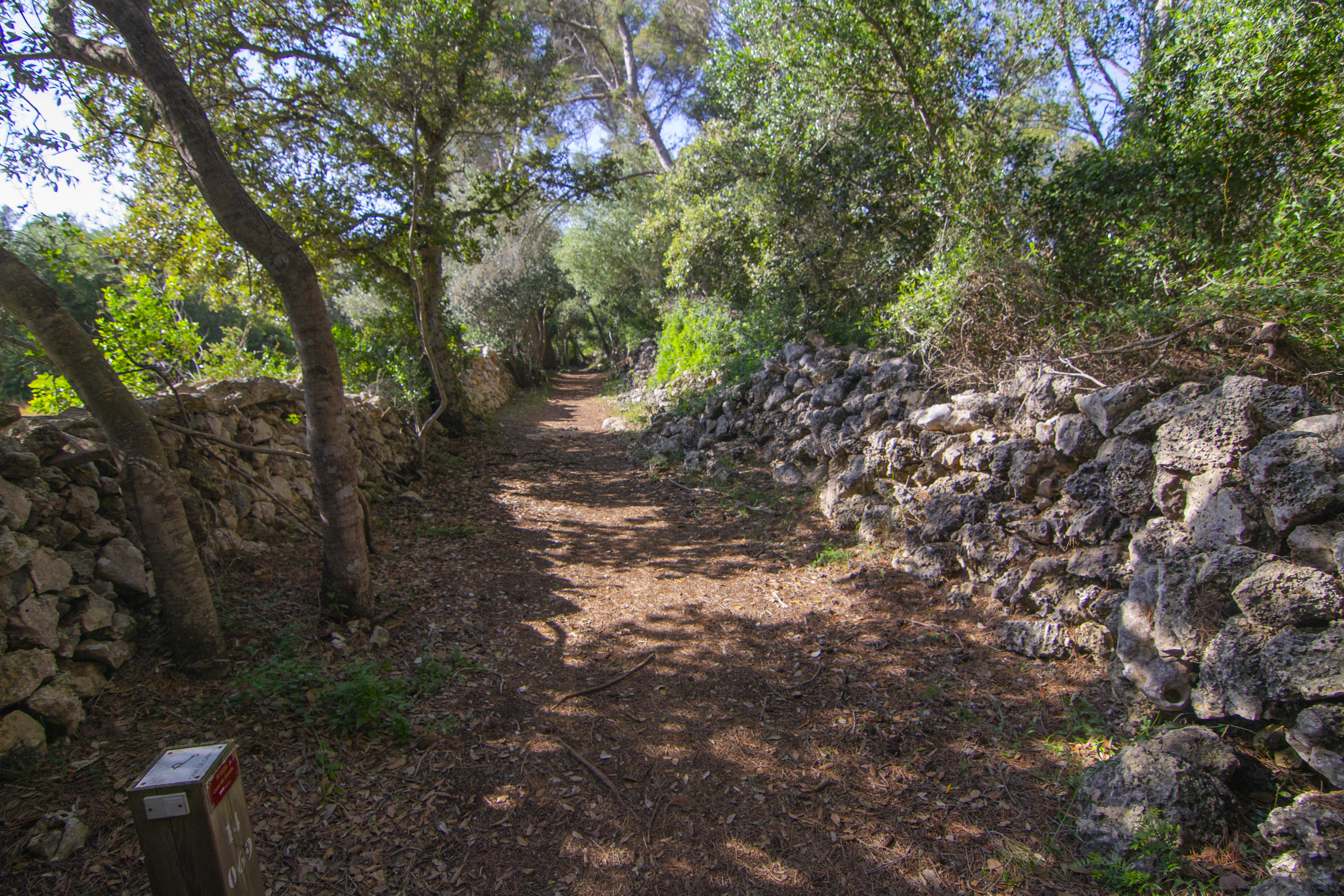
Morro de Levant is one of the capes flanking Galdana Cove. Stage 14 starts precisely here, on the outskirts of the cove. After crossing a gate, the route immediately enters a forest that will be the landscape that escorts the walker for almost the entire route. Mainly made up of Aleppo pines and evergreen oaks, they are accompanied by other typically Mediterranean shrubs such as labiérnago (Phillyrea latifolia), Mediterranean buckthorn (Rhamnus alaternus) or strawberry trees (Arbutus unedo), and trees such as lentisk (Pistacia lentiscus), butcher's broom (Ruscus aculeatus), common myrtle (Myrtus communis) or Labiatae plants such as rosemary (Rosmarinus officinalis) and creepers such as European ivy (Hedera hélix), Mediterranean smilax (Smilax aspera) or evergreen honeysuckle (Lonicera implexa).
From Galdana Cove, the entire route runs within the boundaries of the Binigaus to Mitjana Cove SCI/ZEPA.
The path stretches over a plain for 500 m, passing by old infrastructures of traditional activities in the area, such as lime kilns, quarries and shepherds' shelters. The route then descends quite steeply, so please be careful, as the soil may not be too firm due to the presence of sand, pebbles and roots. This complicated path will take visitors to one of the most popular destinations in this part of the island: Mitjana Cove. You will get a first peep of this spectacular bay with its azure waters through the trees, and then be able to see it in all its glory when the forest on the way to Mitjaneta Cove, a small "little sister” cove that forms part of the same inlet.

For the next half kilometre you walk with the forest on the left and the views of Mitjana Cove on the right. The access to the beach, located in a rest area with picnic areas and information boards, it is first necessary to make a short detour to go around the Mitjana Cove ravine. Without reaching the cove, the path enters the forest again and begins a challenging ascent to go up the valley of the aforementioned ravine. This section, where the remains of a new lime kiln can be found, passes through a more agricultural environment, in which the trail runs along the dry stone walls that enclose the pastures.
Then, the trail goes down towards the Trebalúger creek ravine, with wooden fences as guardrails. The valley associated to this ravine is a fertile plain with fodder and cereal crops, crossed by a shallow watercourse that you will have to ford. On the other side of this creek, the trail enters once again a forest area and goes slightly down towards the Sa Cova creek ravine, a creek that discharges into the Trebalúger creek. As in the case of Trebalúger, the meadow of this stream is also profusely cultivated, although in this case a wooden footbridge has been installed to cross over the watercourse.

The climb up the Sa Cova ravine is much more challenging, both because of the slope and because it is more than a kilometre of constant ascent. Along the way, which crosses a mixed forest, you will cross some access tracks to private estates, so be very careful to follow the signs and close all the gates along the way.
The next ravine that the route passes through is called Sa Torre and has nothing to do with the previous ones, neither in depth nor in appearance, as it only differs from the wooded surroundings by the fact that the vegetation is denser here and by some dams that protect the traveller from the fall. Once this ravine has been crossed, the remaining part of the stage is almost always downhill, towards the Binigaus ravine, which is reached just before reaching the area where it opens out to the sea.
Although it is outside the scope of the Camí de Cavalls Nature Trail, a signposted route that starts at the Binigaus cove allows you to go upstream along the ravine to discover a series of natural caves of karstic origin used by the island's ancient inhabitants. One of them, the Cova del Coloms, stands out for its large dimensions. In fact, it is popularly known as The Cathedral due to its impressive dimensions: 24 metres, high, 110 metres long and 15 metres wide.

This cave, declared an Asset of Cultural Interest in 1966, was a post-Talaiotic burial site (550-123 BC) although, according to some of the archaeological finds, it may also be used to perform some kind of ritual or pilgrimage. In addition to these caves, other places of archaeological interest can be found on the slopes above the Binigaus ravine, such as the Talaiotic settlement of San Agustí or the Binigaus talaiot.
Continuing along stage 14 of the Nature Trail, you will reach the Binigaus beach, although you will leave it immediately along a sandy path that later becomes more compact earth. This path continues parallel to the coast and becomes into a wooden promenade as it passes from Binigaus beach to Binicodrell beach.
The route reaches the concrete promenade of the Playa de Sant Tomás housing estate, along which it runs for just a few dozen metres before the stage ends next to a lifeguard tower.
Links of interest
Puntos de interés
Culture
Municipality
Orography
Profile

 Harshness of natural environment
- 1. The environment is not risk-free
- 2. There are more than one risk factors
- 3. There are various risk factors
- 4. There are quite a lot of risk factors
- 5. There are many risk factors
 Guidance along the route
- 1. Well defined trails and crossings
- 2. There is a clearly marked trail and signage
- 3. Requires the identification of geographic features and cardinal points
- 4. Requires off-path navigation
- 5. The trail is interrupted by obstacles that have to be gone around
 Route difficulty
- 1. Walking on a flat surface
- 2. Trails with different types of path
- 3. Walking on stepped paths or irregular terrain
- 4. The use of hands or jumping over the terrain is necessary
- 5. The use of hands is required to progress
 Amount of effort needed
- 1. Up to 1 hour of continuous walking
- 2. Between 1 and 3 hours of continuous walking
- 3. Between 3 and 6 hours of continuous walking
- 4. Between 6 and 10 hours of actual walking
- 5. More than 10 hours of continuous walking
(Calculated according to the MIDE criteria for an average excursionist with a light load)
Highlights
Mitjana Cove
This cove is located in the southern coast of the island, near the holiday home development of Galdana Cove (municipality of Ferreries), is one of the most famous beaches to the south of the island. It is located at the mouth of the ravine of the same name.
This inlet consists on a 192 m wide beach with a white sandy beach and calm waters, flanked by high cliffs covered with mixed Mediterranean forest. Just to the west there is another cove, called Mitjaneta, very similar to Mitjana Cove but smaller.
Apart from its obvious value as tourist attraction, the woods around Mitjana Cove have great ethnological value, with remains of traditional activities such as lime kilns, shepherds' shelters, barraques and quarries.
Es Migjorn Gran
This municipality, also called San Cristóbal in Spanish, is located in the centre-south of the island. It is the youngest municipality in Menorca, as it became independent from Es Mercadal in 1989.
Its name has an interesting story behind, as the term Migjorn, "half a day", refers to the time it took to cross half the island to reach one of its ends. Thus, Es Migjorn Gran, “the big half-day” would refer to the main break that travellers took before continuing their journey to the other half of the island, either from Maó to Ciutadella or the other way round.
The nucleus of population that was to become the town was created during the British rule of the island, around the San Cristóbal Chapel, near the Binicodrell area, built in 1769 by Cristóbal Barber. With the coming into force of the Spanish Constitution of 1812, San Cristóbal tried to obtain its own town hall, which it achieved temporarily between 1821 and 1823, but if went back to be part of Es Mercadal until 1989. The locality kept its Spanish name until a year before becoming independent.
Apart from the main centre, the town Es Migjorn Gran also has another population centre on the south coast, Santo Tomás, a tourist area that began to form in the 60s of the last century.
Throughout this area it is possible to find numerous examples of Menorcan prehistory, such as the settlement of Sant Agustí Vell, probably the largest on the island; the hypostyle room of the Galliner de Madona; the talaiots of Binicodrell, very close to the main town, next to the graveyard; the site of Santa Mónica and caves such as Coloms and Polida.
The most popular festival in the municipality is held in honour of St Christopher, which takes place at the end of July or beginning of August, and horses, fundamental to Menorcan tradition, take the centre stage. Other important festivals include those in honour of St Anthony, patron saint of Menorca, which take place every 17th January to celebrate the conquest of the island in 1287; the Carnival, with the traditional Black and White dance; and Michaelmas Day, with end-of summer celebrations and in which the Menorcan horse also takes centre stage every five years.
On a curious note, the municipality includes three islets, including Binicodrell, where the Lilford's wall lizard (Podarcis lilfordi), endemic to the Gymnesian Islands (Mallorca, Menorca, Cabrera and surrounding islets), is present.
Multimedia


Downloads

GPS Downloads


