

Puntos de Interés

Hydrography
River Noguera Ribagorçana
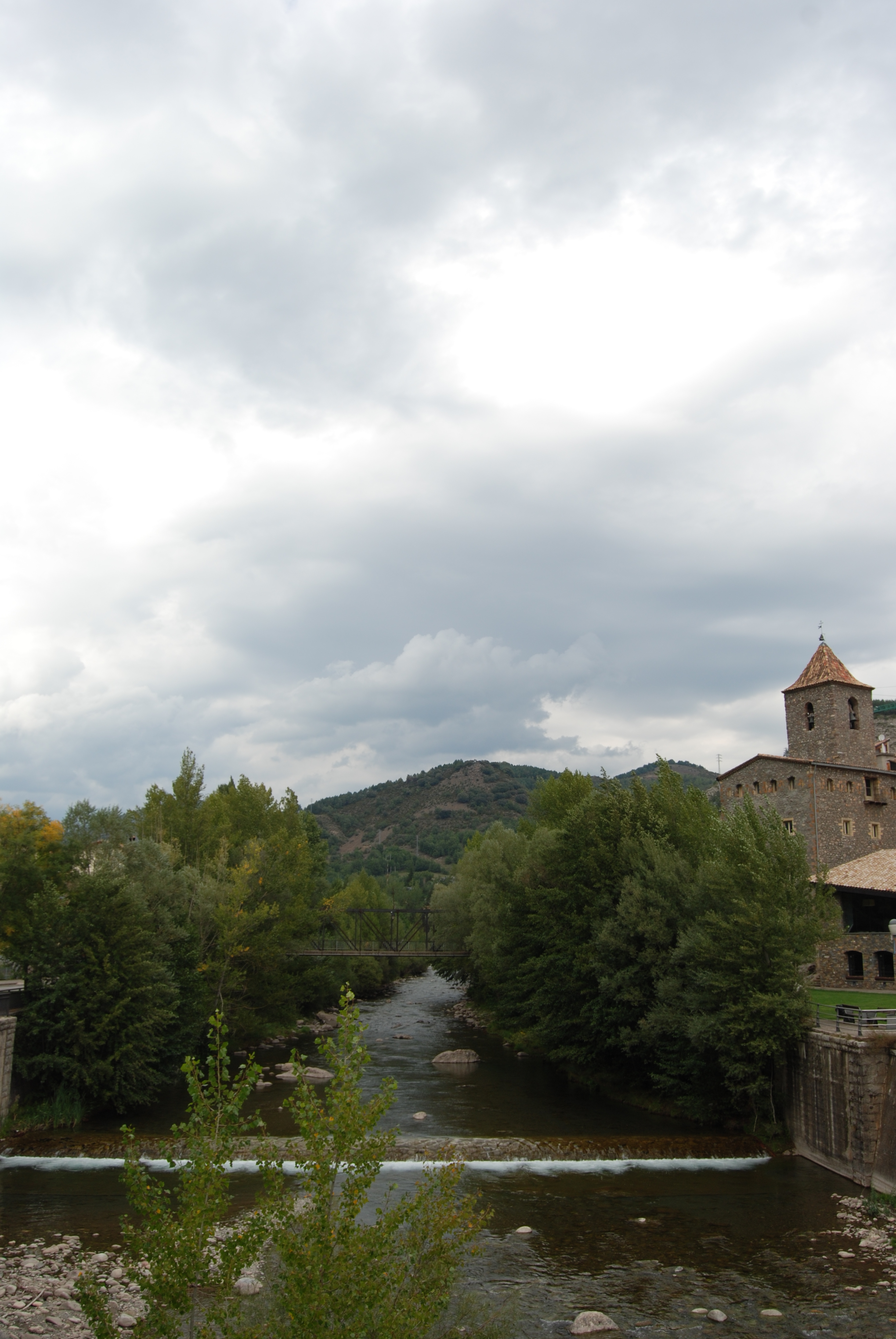
The River Noguera Ribagorzana rises in the Mulleres Valley at an altitude of 2,750 metres, in the Maladeta massif of the Pyrenees. It is some 133 kilometres long, with much of it forming the border between the autonomous communities of Aragón and Catalonia, separating the provinces of Huesca and Lleida. It flows into the River Segre, just past the village of Corbins, very close to Lleida.
The first section, located within the River Noguera Ribagorzana Nature Reserve, which stretches to the end of the Baserca reservoir, displays characteristics typical of high-mountain rivers in the Pyrenees. In fact, rapids and waterfalls are a common sight along the first few kilometres of the river’s course, as it winds its way through high-mountain valleys with steep gradients. This scene, however, changes as the river flows downstream and the terrain becomes gentler. The River Nature Reserve is home to microhabitats that are of particular interest to amphibians and invertebrates, and birch, beech, fir and pine forests are common.
The River Noguera Ribagorzana takes its name from the former County of Ribagorza and, thanks to the terrain through which it flows, was primarily used for hydroelectric power; with five reservoirs along its course: Baserca, Escales, Sopeira, Canelles and Santa Ana. Along its course, it is fed by a number of significant tributaries, as well as by small ravines with irregular flow.