

Puntos de Interés

Orography
Valdellosa (Peñón de los Soldados)
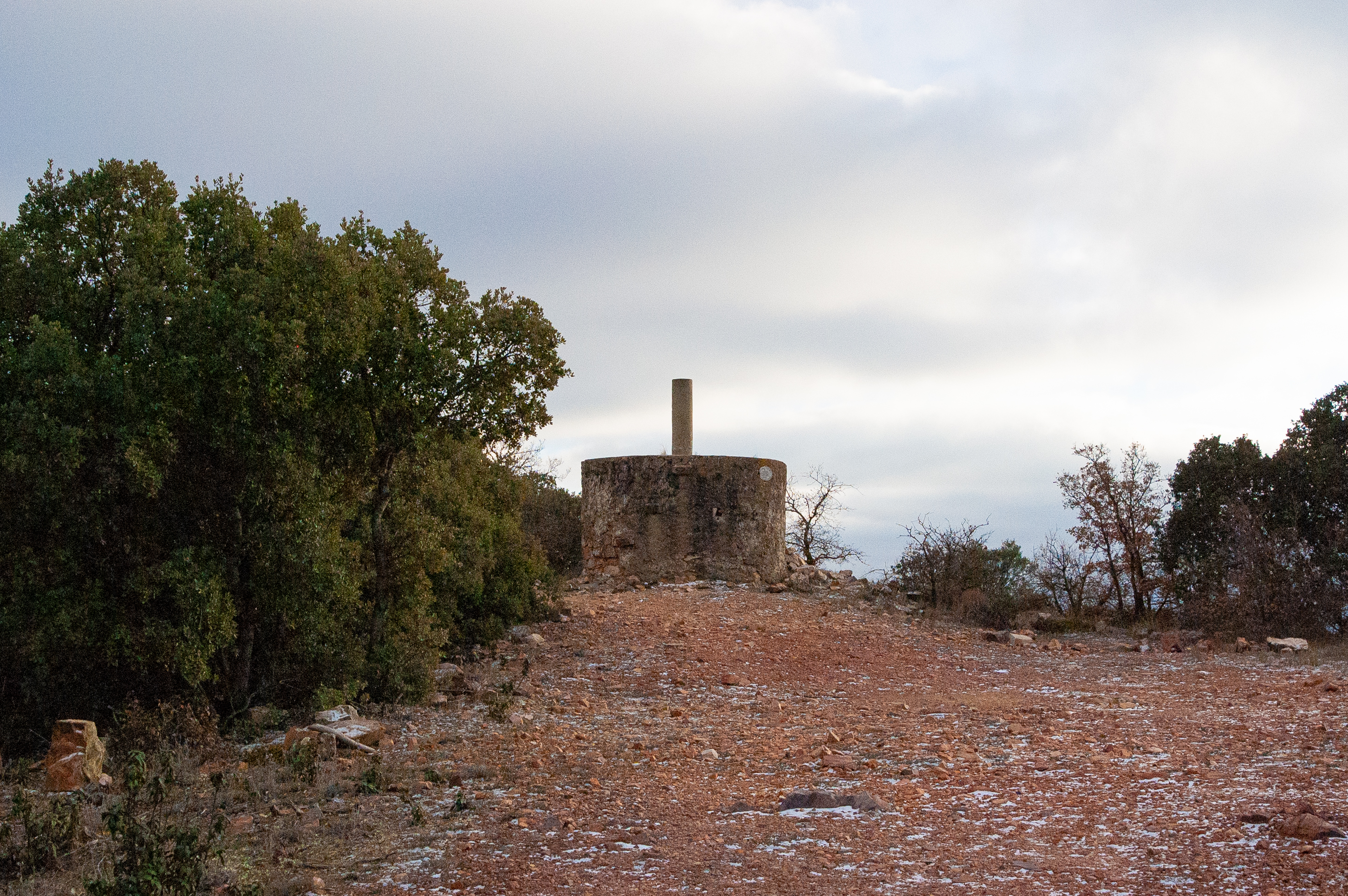
The Valdellosa peak is at the south-eastern end of the sierra del Carrascal, with a total altitude of 1,229 m. The hill rises above El Poyo del Cid, a hamlet belonging to the municipality of Calamocha, in the Jiloca district.
The Carrascal mountain range is a formation of Palaeozoic quartzite covered by dense vegetation made up of holm oaks, Pyrenean oaks and pine trees. On the slopes of the Valdellosa there remain traces of the old iron mines that were worked in the area in the late 19th and early 20th centuries.
Despite not being the highest point in this mountain range, it is the most popular and most popular among tourists and locals due, above all, to the voluminous geodesic vertex on its summit, which is known as the Peñón or Pilón de los Soldados, named after its former use as a geodesic sign for topographers and soldiers of the army’s former geographic service.
From El Poyo del Cid there is a circular route that leads up to the crag. It has a smooth and straight ascent to the top, the itinerary following the service track leading to the telecommunications antenna at the top and a descent via a recently-created path, which, as it crosses the La Boquera ravine, allows us to enjoy a setting full of pines, holm oaks and gall oaks.