


Puntos de Interés

Hydrography
River Cúa
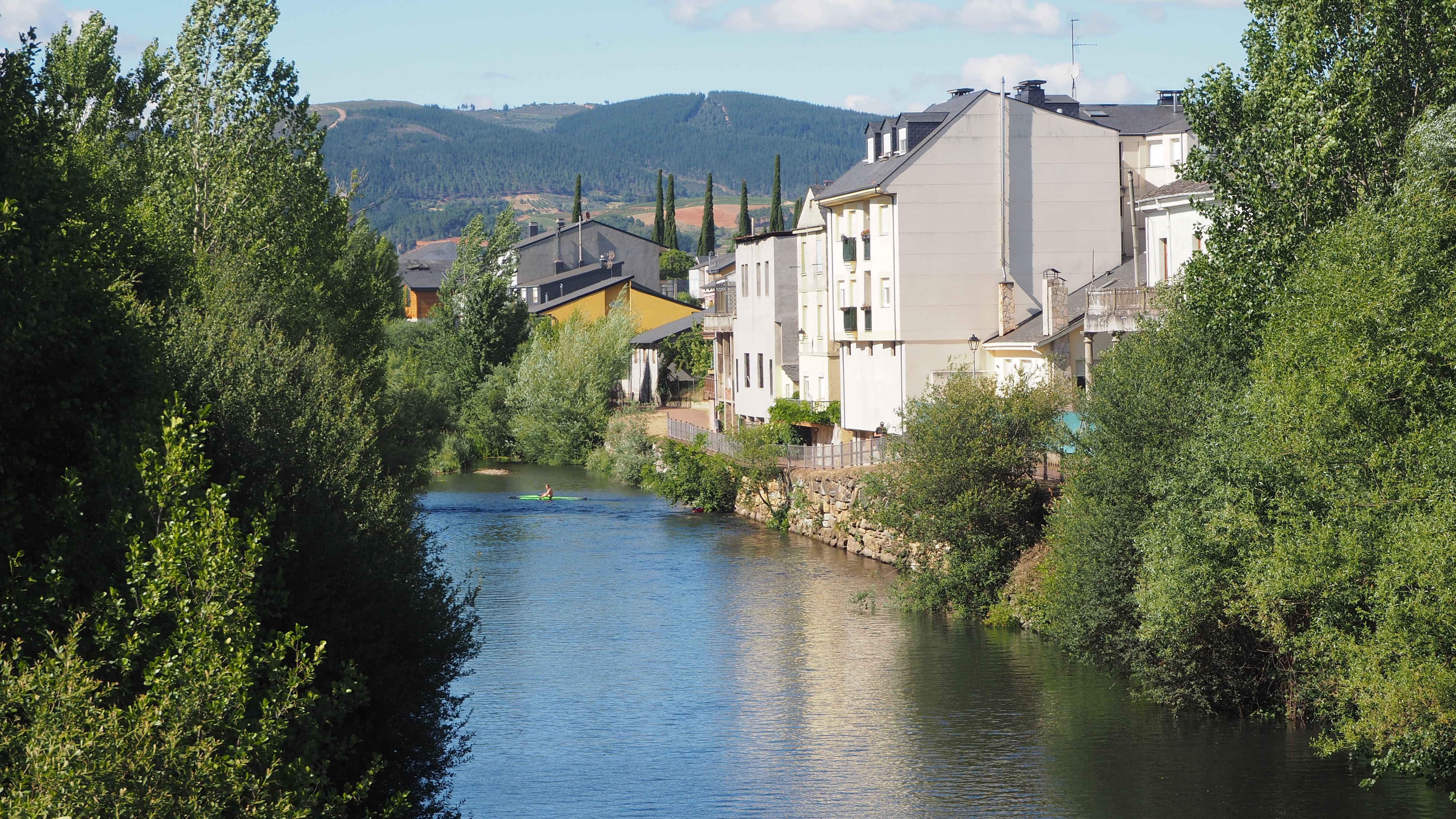
The River Cúa is one of the main tributaries of the River Sil and one of the most characteristic rivers in the region of El Bierzo. It rises at an altitude of around 1,550 metres above sea level in the area known as Campo de la Pesca, in the Fornela Valley, and flows for approximately 60 kilometres before joining the River Sil, near Toral de los Vados. Along its route, it passes through some of the most varied landscapes in the province of León, from narrow mountain valleys to the fertile plains of El Bierzo.
In its upper reaches, the River Cúa winds its way through deep gorges and forests of oak, birch, holly and chestnut trees, while, as it flows down towards El Bierzo, the valley widens and the river irrigates one of the region’s most productive agricultural areas. Its waters are ideal for growing vines, fruit trees, vegetable gardens and meadows, helping foster high-quality agriculture. Among its main tributaries are the Ancares and Burbia rivers, significantly increasing their flow before reaching Cacabelos.
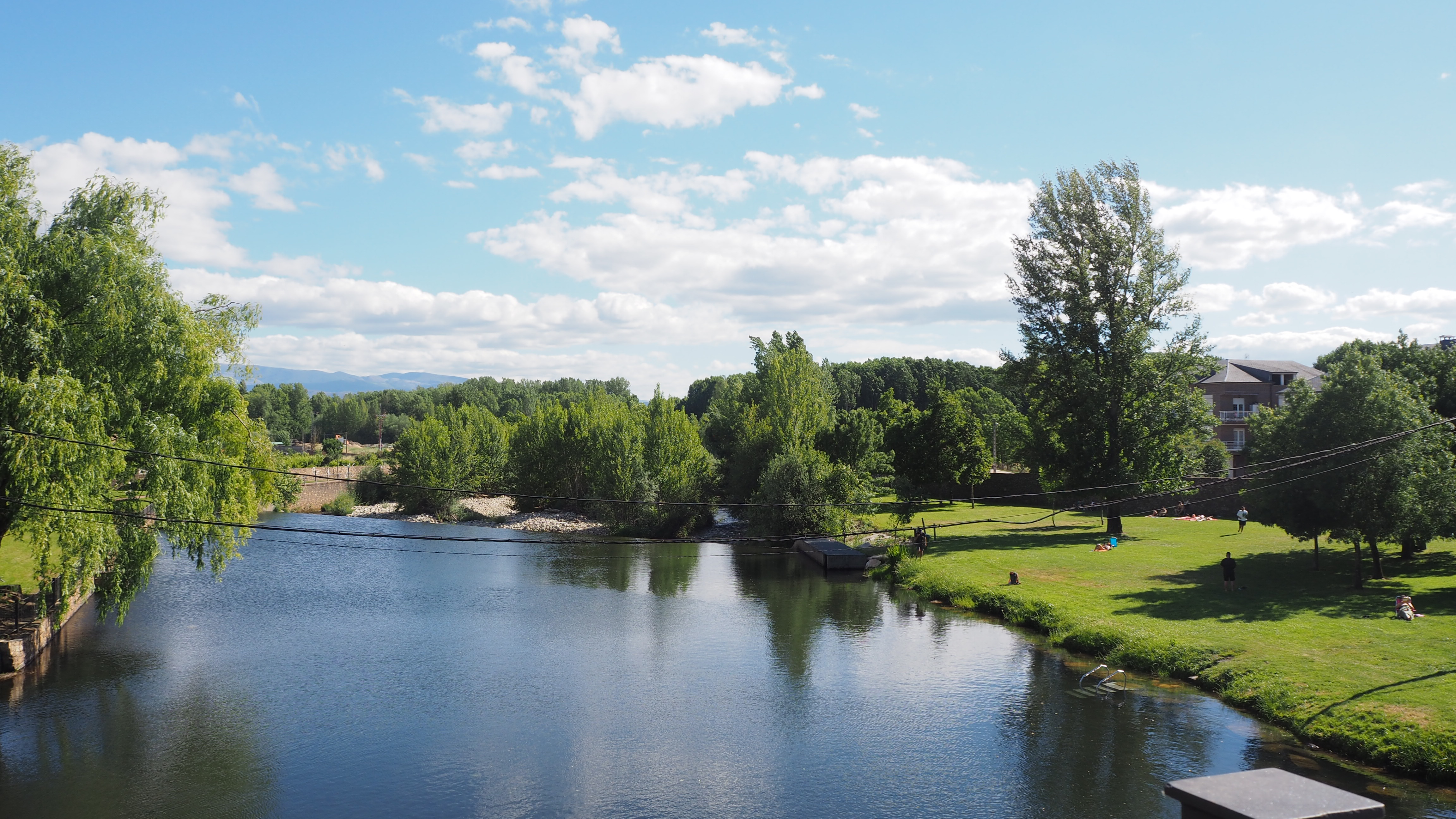
The river is home to a rich biodiversity typical of the river ecosystems of the north-west of the Iberian Peninsula. Species such as brown trout live in its waters, while grey herons, kingfishers, dippers, otters and even the odd Iberian desman can be spotted along its banks; the presence of the Iberian desman is an excellent indicator of the environmental quality of the watercourse.
As it flows through Cacabelos, the River Cúa takes centre stage in the landscape. Its banks offer pleasant walks and form an essential part of the landscape of El Bierzo. Furthermore, the historic bridge over the river was the scene of the Battle of Cacabelos, fought in 1809 during the War of Independence. Today, the River Cúa remains a defining feature of the region, bringing together nature, history and agricultural tradition in one of the most attractive corners of El Bierzo.