Net of Natural
Trails

Inland. San Rosendo Nature Trail. Celanova - Ourense section
Description
A walk through the history of Galicia. Celanova to Ourense
This route provides a better understanding of rural Galicia and the rich landscape of this part of Ourense. It runs through hardwood forests of birch, oak and chestnut, and cross rivers and ponds with countless ethnographic examples of the use of water, such as mills, “caneiros” and bridges. And, it passes through villages with “hórreos”, typical granaries so important for the Galician rural economy.
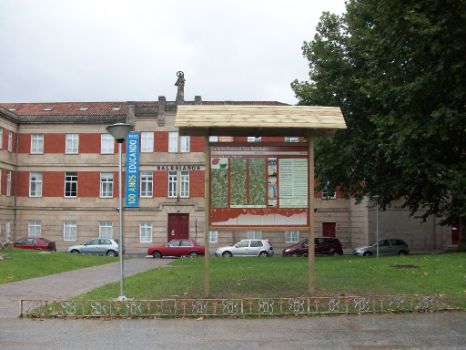
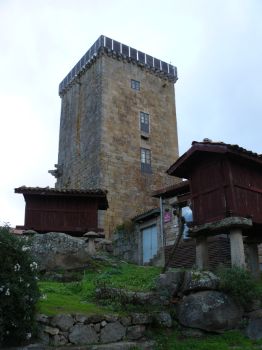
The route begins in the Plaza Mayor of Celanova, opposite the Benedictine monastery of San Rosendo, and ends in the Roman-medieval bridge in Ourense. From Celanova, the Trail first leads to Vilanova dos Infantes, whose late Middle Age tower can be seen in the distance. The compact and well-preserved town centre around the tower is worth a visit. It is also advisable to visit the centre inside the tower with an exhibit on the most significant landmarks of County Celanova. Spectacular views of the surrounding area can be seen from the upper terrace.
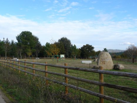
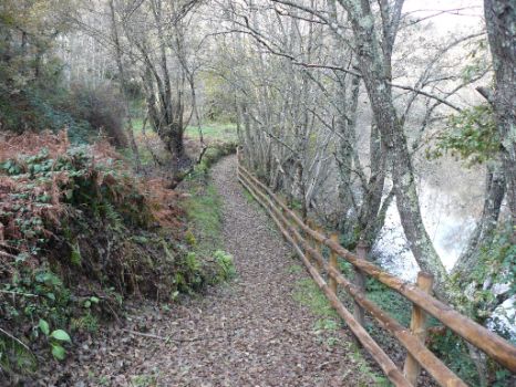
The route continues through the settlements of Carfaxiño and Viveiro before arriving at the River Arnoia, near Barxiña. A recreation area next to the river provides a place to rest. The Trail continues along the left bank, under a canopy of alders (Alnus glutinosa), oaks (Quercus robur), ashes (Fraxinus sp.) and willows (Salix sp.), accompanied by the constant murmur of water, to a granite bridge that goes to the opposite bank.
The middle of the bridge is the best place to view the noisy rush of the water that falls from a 3-metre high “caneiro” situated upstream, where the water for the Varela mill, at the end of the bridge, is stored.
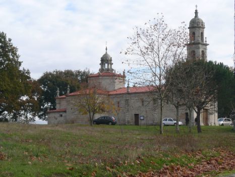
The route runs uphill from here to the town Aulfe, which can be seen to the right, and continues along a forest track that leads to the Marian sanctuary of Nosa Señora das Marabillas. The only decorative element of this simple baroque church is its façade framed by pilasters.
To the left of the church, the route heads towards the village of Parderrubias, where the traveller may visit the parish church of Santa Olaia with a neoclassical façade. Further on lies the hamlet of Nigueiroá. To the left of the road is a group of “hórreos”, empty today of grain. The “hórreos” are the symbol of a land of plenty that has modernised and diversified its crops.
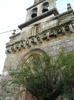
Leaving Nigueiroá behind, the route makes its way through Covelas and O Couso towards Loiro, crossing several streams - Seixas, Ruxidoiro and Porto. It passes through hardwood and pine forests to reach Loiro. At the edge of the village, to the right, is the church of San Martiño. This Romanesque temple may be visited while resting before continuing with the journey. Although rural depopulation is all too evident, Loiro is a fine example of a Galician town that is well worth a visit.
Back on the Trail, the route passes near the villages of Alen and Sobrado do Bispo on its way towards Enfestada, where the small chapel of San Roque can be found to the right. The Bishop of Ourense formerly vacationed in the latter. The route traverses the entire Regato de Santa Olaia River Valley on its way to Moreiras and As Airas. Dense vegetation, including strawberry trees (Arbutus unedo), covers this area.
Finally, the route continues up the opposite side of the valley by road and forest trail to the town of Barbadás, which forms a geographical spur between two valleys. Leaving Barbadás behind, the route winds into the valley via Os Rosales neighbourhood to Soutolongo Brook. After crossing the brook, a dense riparian forest of alders covers the right bank of the river until its confluence with San Benito Brook.
Both brooks meet here to form the Barbadás River, along which a riverside walk runs until it joins the Rio Barbaña. From here, the route continues until it ends at the medieval Roman bridge over the river Miño. The riverside walk passes through several Ourense neighbourhoods, including Laxas, O Polvorín or Os Remedios. After completing the route, it is possible to enjoy a rest in the As Burgas hot springs, whose medicinal waters are recommended for skin diseases, rheumatism and arthritis.
Sites of interest
Puntos de interés
Hostel
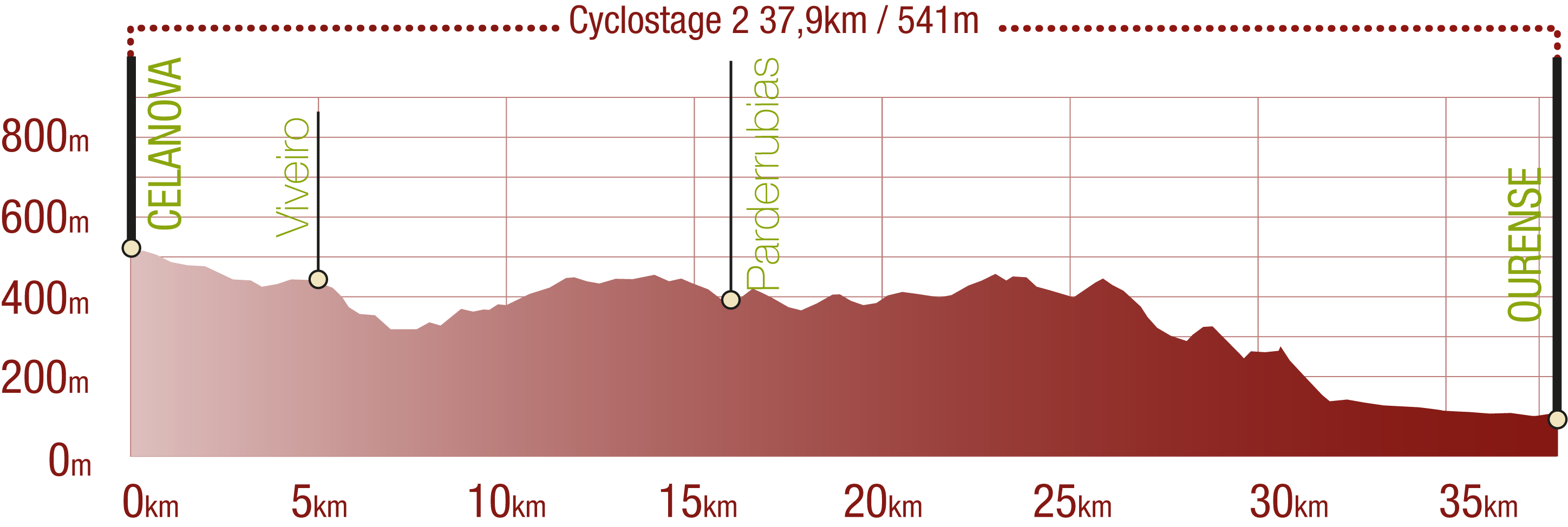
Profile

(Calculated according to the MIDE criteria for an average excursionist with a light load)
Highlights
Further information
Las Burgas
Las Burgas are the hot springs located in the city of Ourense. There are three springs: Burga de Arriba, the oldest, folk-style spring from the 17th century; Burga do Medio, modern and wall-mounted; and Burga de Abaixo, neoclassical (19th century), with two side spouts and a stone basin in the centre with another spout.
These hot springs pre-date the arrival of the Romans, who built a public thermal spa here. There is evidence of pre-Roman cult to a god of the waters.
These springs were declared a historic-artistic monument in 1975 and a site of cultural interest in 2007. They are currently used for bathing.
Multimedia
Downloads
GPS Downloads
Cyclability
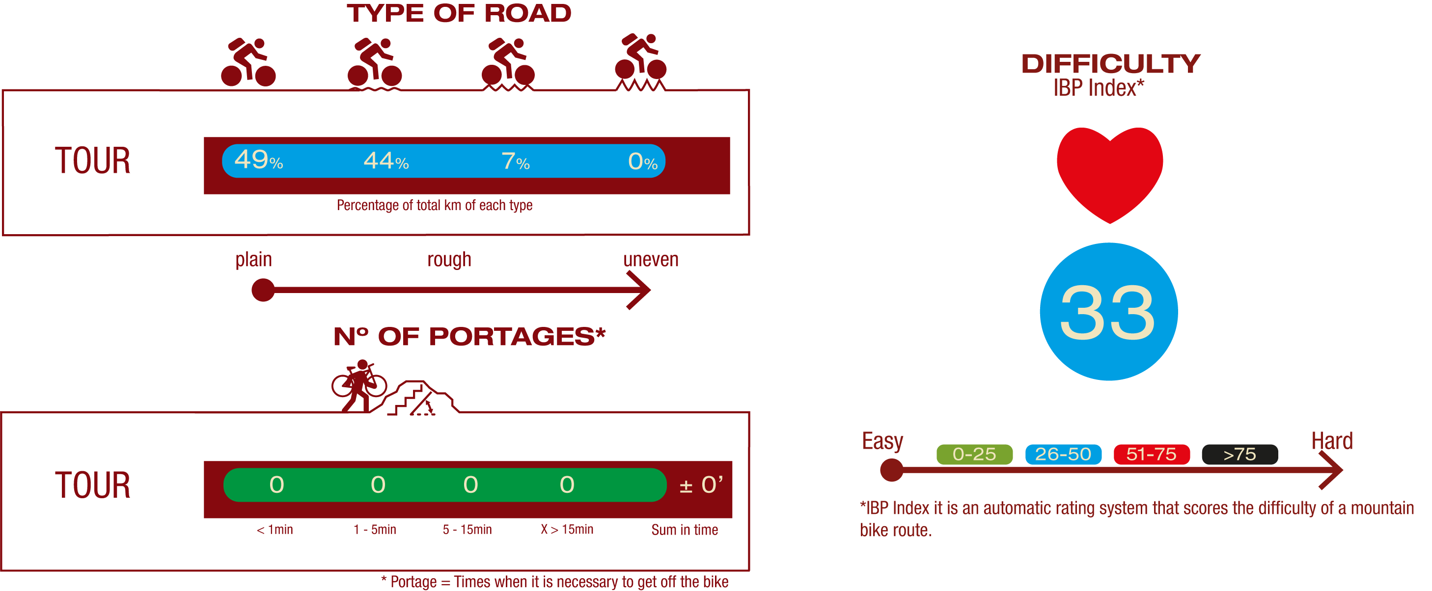
TYPE OF ROAD, PORTAGES & DIFFICULTY
SAFETY RECOMMENDATIONS
- Sections shared with hikers.
- Transit through the centre of some population centres.
GENERAL RECOMMENDATIONS
- Find out about the technical aspects of the route and the weather on the day.
- Take care of the environment. Take care not to disturb animals or damage vegetation. Respect private areas.
- You must give priority to pedestrians and comply with general traffic rules.
- The environment in which you will be riding is open, free to move around and an area where many activities are carried out (sporting, forestry, livestock and agricultural activities). Always have an understanding, prudent, responsible and respectful attitude.


