Net of Natural
Trails

Stage 26: Badilla - Cozcurrita
Description
Along Mimbre Creek
Mimbre Creek and the stone walls that mark the boundary between farms are the leitmotif of this route that links two small towns that give their name to this Stage. This short route traverses through a typical County Sayago landscape of oak-ash forests and dehesas crossed by rivulets, granite outcrops and small meadows.
The Stage leading to the small town of Cozcurrita begins next to the road linking Fariza de Sayago with ZA-324 as it passes through the town of Badilla.

The route initially heads south along the road towards Fariza de Sayago. Further on, it turns onto the first path, conveniently signposted, that emerges on the right, which winds along Mimbre Creek.
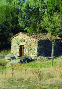
The riparian vegetation, which consists of English poplars (Populus nigra), willows (Salix sp.) and ashes (Fraxinus angustifolia), contrasts with the holm oaks (Quercus ilex) and grasslands that grow on the drier slopes. One can see along the road the beautiful Pachón Mill.
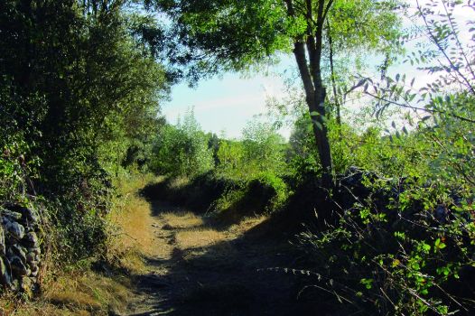
The route runs along an easy dirt road, wedged between typical Sayago-style stone walls that mark the boundaries between farmsteads and the excellent pastures in the valley.
The route moves straight ahead, ignoring the paths that emerge on both sides. At a sharp bend, the route continues straight ahead along a narrower, rockier path confined between nearly perfectly aligned stone walls.
The lush vegetation and dense bushes that grow in the shade of the walls, and the easy terrain make for a pleasant walk.
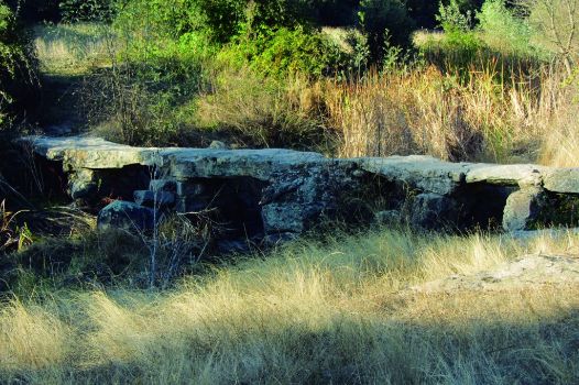
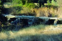
One can see along the Trail the typical pontoons built to cross the many creeks that dot the landscape, and often go unnoticed. The route continues along Mimbre Creek until it reaches a larger path, where it leaves the stone walls behind, Soon after, it comes upon a wooden gate that marks the boundary between the municipal districts of Cozcurrita and Badilla.

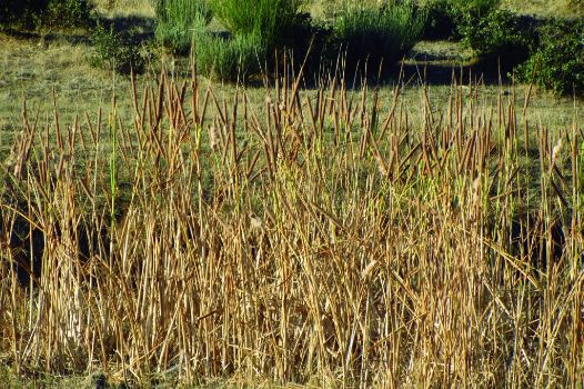
From here, the landscape becomes more rugged and open. The creek, which typically runs dry in the summer, but swells in the rainy season, runs to the right of the path. The water flows down the gentle slopes covered with Scotch brooms (Cytisus scoparius) that bound the creek. The vegetation along the creek is typically riparian, including cattails, bulrushes (Typha latifolia) and English poplars (Populus nigra).
The route winds along the river and crosses Rivera Ancha Bridge at the wide meander. From here, it gradually climbs down towards an area populated with prickly juniper (Juniperus oxycedrus) and holm oaks, interspersed with an occasional vineyard.

Stone walls again guide the route until the small town of Cozcurrita. At a crossroad with another path, the route continues ahead towards another junction, where it turns left towards Camino Ancho, at the edge of the town. The Stage ends at a charming shoeing crush across from an information panel.
This town boasts the 13th century Romanesque church of Santa María Magdalena, with a rectangular layout and a spectacular steeple. Beside the church is a mulberry tree (Morus sp.), typical in these towns. It is also home to Peña Águila juniper forest, the largest in the province of Zamora.
Enlaces de interés
Profile

Highlights
Further information
Mills of Badilla
Some mills at Badilla are still in use today, owing to the dedicated restoration and maintenance by the owners.
Indeed some are still community-owned, and may be used according to the historical rights of each owner. In ancient times, the amount paid for the usage time was as follows: a "cuarto" equalled two "ochavos"; one "ochavo" was worth two "maravedis"; a "maravedí", two "blancas"; and one "blanca" gave you the right to grind one day a month.


