Net of Natural
Trails

Stage 7: Manzanedo - Puente Arenas
Description
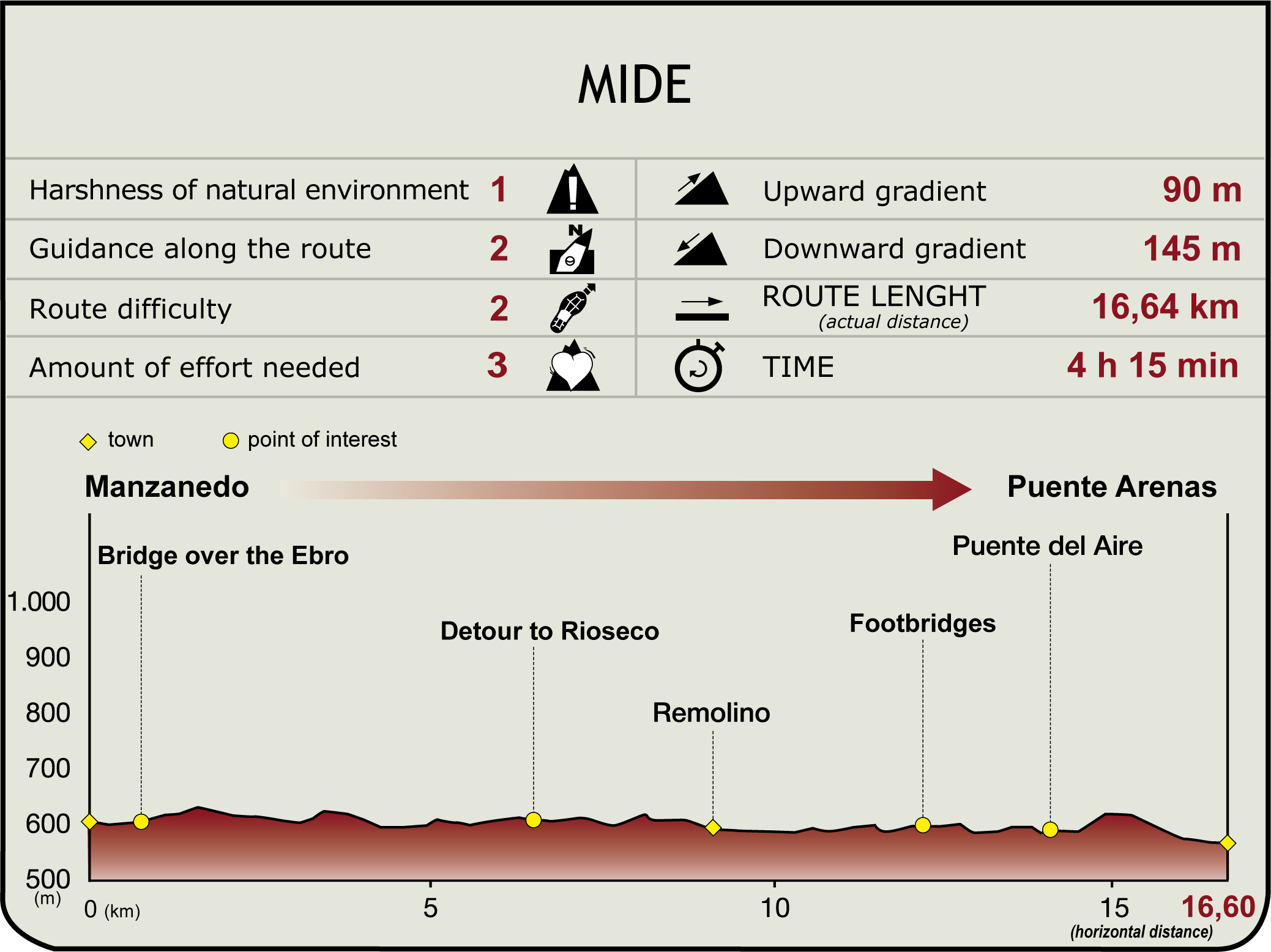
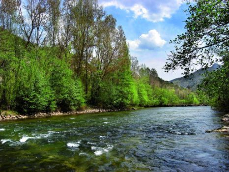
From Manzanedo (625 m), the Trail retraces the route travelled in Section 6 via a road between fields that leads to the bridge over the Ebro (1 km, 15min). Without crossing the bridge leading to Manzanedillo, the path continues along V-5741 to the left. Down on the river bank, the Bocarredo power plant (with its dam and ancillary buildings) can be seen, and to the left is the hermit cave of San Pedro.

Further on, the route passes in front of the offshoot road to Argés. Leaving Fuente de la Toba to one side, the path reaches Bailera Bridge that leads to its namesake power plant (600 m). The ruins of the Gothic monastery of Rioseco can be seen amidst the dense vegetation.
The trail continues along the left bank towards Remolino, past Rioseco to the left (6.5 km, 1hr 45min). Leaving the power station and Congosto Dam behind, the path runs parallel to the river, then turns right onto the road, across a bridge over the Ebro, and heads to the uninhabited town of Remolino (9.1 km, 2hr 20min), which now forms part of El Hayadal country estate. Past the Maviso farm, the route turns to the south, always parallel to the river.

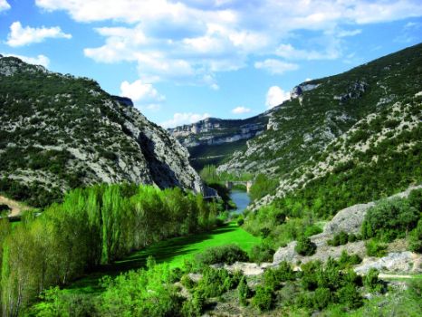
The N-232 and Hocina Farm can be seen on the left bank. To the north is Incinillas. The route traverses through Hocinos Ravine using the walkways anchored to the rock. Past the ravine, the route ventures into a beautiful, dense forest of gall oaks, boxwood trees and other riparian species. Sheer cliffs flank Aire Bridge and the Caseta de las Ánimas in ruins (13.9 km, 3hr 30min). Below the bridge, on the right bank, is a picnic area with tables, a fountain and a barbecue. After climbing to the N-232 and crossing the bridge, the route turns onto the first path to the right.
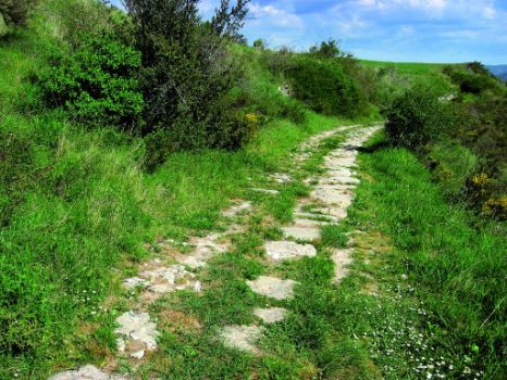
The path heads along the road to Puente Arenas. It runs first along the Ebro, at eye level, then becomes more steep and winding, as it begins to climb towards Portillo de la Labrada (625 m), an opening carved into the rock along Mount Labrada. The Trail reaches Valdivielso Valley. It now descends towards Puente Arenas, along stretches of the ancient Roman road that connected this population with Aire Bridge, with the magnificent views of cultivated fields and towns with great historical and artistic significance, under the protective presence of Mount Tesla and Mount Mazorra.

The route reaches Puente Arenas from the upper part of the town, along a concrete track that passes next to the church of Santa María. Along the Ebro runs La Tranca Street, where the bridge that marks the end of this Section and the beginning of the next stands (570 m, 16.6 km, 4hr 15min). Puente Arenas developed around the only old bridge that exists on this stretch of the Ebro. Its name refers to two towns: Puente, located next to this bridge, rebuilt in 1885, and Arenas, with emblazoned stone manors (Bishop Pedro Fernandez de Tomiño's palace and Casa de la Yedra (17th C.) and the plateresque parish church of Santa María, with Romanesque and Gothic elements.
The Romanesque church of San Pedro de Tejada, the most important heritage element of Valdivielso and County Merindades, is the trail head of Section 8.
Sites of interest
Puntos de interés
Culture
- Monasterio de Santa María de Rioseco
- Eremitorio de San Pedro de Argés
- Ermita San Pedro de Tejada
- Iglesia de Santa María
Information
Infrastructure
Municipality
Profile
