Net of Natural
Trails

Stage 32: Chiprana - Caspe
Description
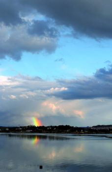
Arriving at the Mequinenza reservoir, the “Sea of Aragon”.
A short route leads the Ebro Nature Trail away from the course of the river into a different but equally interesting landscape, with almond trees, towers, farmhouses, valleys and sandstone palaeochannels. From Chiprana, you follow the old path between the road and the Mocatero tower and, after crossing the A-221, continue along the historic Civán irrigation channel, dating from the 16th century, before reaching Caspe on the N-211 road, ending at the Ronda de Mequinenza park. This historic city, which boasts several attractive monuments, rises in the mouth of the Guadalope in the Ebro, which is dammed in the Sea of Aragon.

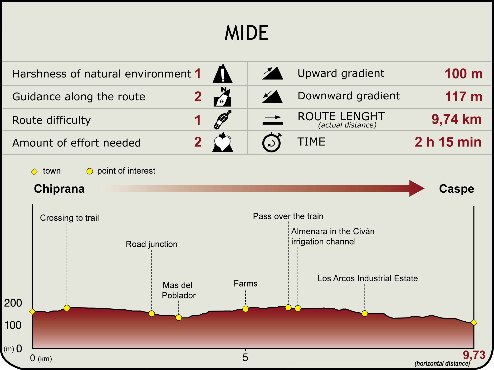
This new stage begins at the Chiprana access roundabout (124 m). After a few metres in the direction of the A-221 road, there is a broad path on the left that soon bifurcates. One of the branches leads to the left, towards the cemetery and, one kilometre later, it reaches the optical tower constructed during the Third Carlist War, in the 19th century. But the one that is of interest is another one, on the right, which is what the walker will take to follow the itinerary running parallel to the road, in an easterly direction. Further on, it reaches a crossroads on the side of Alcalán gorge, where it turns right, crosses the A-221, before facing the Voteré inn. Go around this inn on the right-hand side and take the path on the left, which descends to the Mas del Poblador and crosses the bed of the Alcalán watercourse. After passing this, at a new crossroad, you will access the road on the left, which goes up to a farm building that it also goes around. You then turn right, continuing along various paths leading to fields that lead up to an upper esplanade, under the shade of a large pine tree.
The path continues east before reaching a more substantial track and goes around a livestock complex accessed by a paved path on the left. The Nature Trail, like the Way of St. James, leaves the paved path at this point and continues along the diversion that heads southeast, until it reaches the railway overpass, next to the Civán irrigation ditch. Since 1550, this irrigation channel has run more than 50 km from the reservoir bearing the same name, which is on the River Guadalope. The water flowing through its bed, still made of earth, zigzags, looking out over and irrigating 4,120 ha of land belonging to the municipalities of Chiprana and Caspe, whose council has its headquarters in the old Civán house.
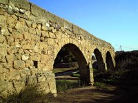
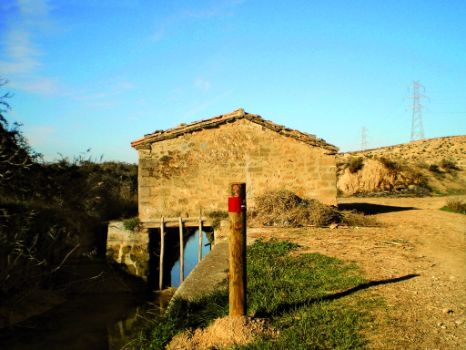
At a nearby crossroads, look for the irrigation ditch’s service track, on the right, and continue on its left bank, until you reach the Caspe ring road heading towards Alcañiz (N-211). Before that, the walker can stop on the trail and delight in one of Civán’s many hydraulic elements: an almenara (beacon) in the form of a carved stone box that bridges the irrigation channel and serves the orchards that share space on the left.
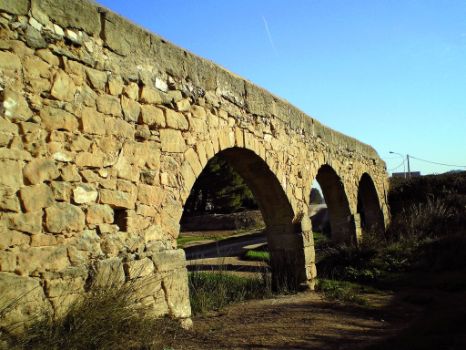
Once you have crossed the N-211 through an underpass, the route turns right for a few metres. It then turns left and descends to a watercourse that leads to a second irrigation ditch, on an elegant aqueduct. You will immediately enter an industrial estate that leads to the old Alcañiz N-211. If you descend and continue along a cycle path running parallel to the road, you will reach the crossroads at the entrance to Caspe. The Avenida de Chiprana opens up before the visitor, who must go up before continuing, from the Plaza de Aragón roundabout, along the Calle del Obispo García, which goes down towards the train station. After passing this, on the left-hand side, go down a street that leads to the municipal park, first passing twice under the railway tracks, where this stage ends.
Sites of interest
Puntos de interés
Culture
Hydrography
Municipality
Hostel
Profile
Highlights
Further information
Caspe and its sea
Caspe, with more than 10,000 inhabitants, is a historic city. It was the scene of the agreement between the various territories of the Crown of Aragon to elect Ferdinand of Antequera king, an historical event known as the Caspe Compromise. It has an intense relationship with the Ebro, formerly because of its fertile La Herradura and La Magdalena orchards, and today, the Mequinenza reservoir having been built, due to its more than 500 km of coast (known as the Sea of Aragon). It is undoubtedly an international attraction for fishing and sailing. The Guadalope, its second river, has a curious outflow into the Ebro: its end waters are raised above the reservoir’s containment dike, thereby preventing the flooding of the old fertile plain. New irrigated lands, a major textile sector and the services derived from its central position in the district, sustain the town’s economy.


