Net of Natural
Trails

Stage 22: Buñuel - Gallur
Description
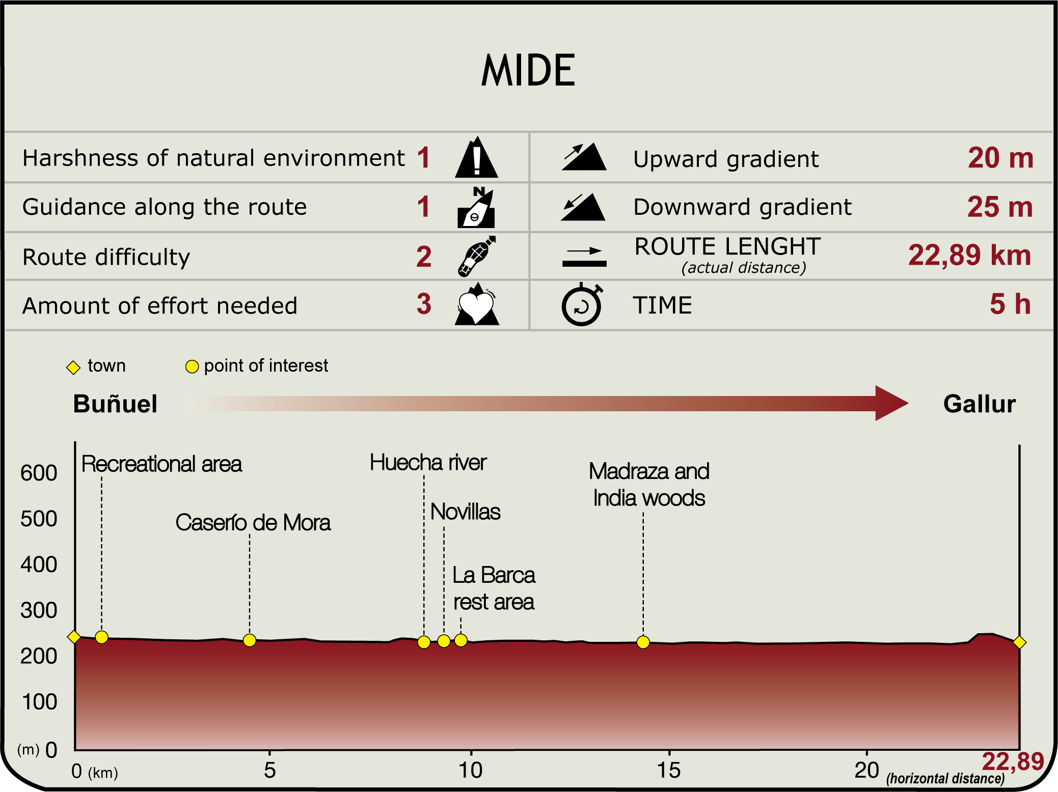
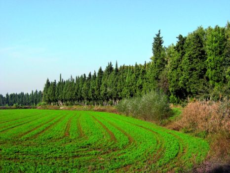
This section begins in Buñuel's recreation area (240 m), located under the NA-511 bridge, parallel to the River Ebro. Immediately after, it continues left onto a BTT track leading to the river. Tamarisks announce the upcoming Soto de la Mora Natural Enclave. Next to a row of cypresses, the path leads away from the banks of the Ebro, skirting the Ombo irrigation ditch via a bridge near the village of Mora (4.5 km, 55 min).
From here, the track continues along the right bank of the irrigation ditch towards the river, disregarding various offshoot roads to the right. Running parallel to the Ebro, the track ventures into a barren area near where the Huecha joins the Ebro. Here, a footbridge over the Huecha, which flows at the foot of the Moncayo, gives access to the sports area and Novillas crossing (9.5 km, 1hr 55 min).

In addition to panoramic views of the Pyrenees, the Moncayo and the Ebro Valley, Novillas is also home to the Romanesque church of Nuestra Señora de la Esperanza (12c), a Templar chapter-house (16c), a 19th century fusilier fortress and the Labrador Museum-House. Its "dance" of the Virgen del Rosario (October 7th) is regarded as one of the oldest in the River Ebro and Aragon area.
After crossing the bridge, the trail leads to a rockfill levee-track that crosses under the bridge over the NA-5221. This space, where the ferry was located until a few years ago, now houses the canoeing club and a rest area. Immediately after, the road crosses the Bergal irrigation canal and, soon after, leaves the road to Mejana to venture onto a path to the left -Mejana del Lobo- lined with reeds and liquorice trees. Soon after, the trail reaches the track that runs across El Soto, diverging to the left. The route continues with the river to the left and vegetation to the right. After passing through a deforested area and a former gravel pit, the track winds through the dense vegetation of a well preserved grove.

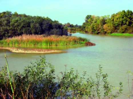
Immediately after, a grassy stretch leads to a levee-track located in the outer lobe of a meander, with a lush island in the middle of the river, and a dense natural forest -Madraza grove- on the opposite bank (14.4 km, 2hr 55 min). Shortly after, the track becomes a path, then a levee-track, and finally an agricultural road leading to the river valley on the left. This path is known as the “road to India” that leads to its namesake grove. The path now heads north through irrigated fields towards a poplar grove near the boundary between Novillas and Gallur, where it joins the road to Hondos. Immediately after, next to a farm, it diverges to the left onto a wider road leading to the river. Running parallel to the river, past a kennel, the path reaches a junction near a huge ash where it ends.
The GR 99 continues along the river to a water abstraction station, then turns south onto a path that drifts away from the river, connecting immediately with an abandoned track to the left near an ash tree. The route reaches the drainage channel of the Canal Imperial de Aragón and the town of Gallur.

The endpoint of this section is located next to Hierro Bridge. This place is exceptionally well located next to the Canal Imperial de Aragón, a 16th century hydraulic works (formerly known as the Acequia Imperial) that transformed this town into a river transport hub (235 m, 23.8 km; 4hr 50 min). Gallur is also home to the house of General Ortega, the neoclassical church of San Pedro and the Merendero, a recreation area near the estuary of the River Arba.
Sites of interest
Puntos de interés
Hydrography
Information
- Parque Natural Bardenas Reales
- Enclve Natural Soto de la Mejana de Santa Isabel
- Enclave Natural Soto de la Mora
Municipality
Profile

Highlights
Further information
The River Arba
Its basin is dominated by two rivers that come together at Ejea de los Caballeros: Arba de Biel and Arba de Luesia. Both rivers rise in the southern slope of Sierra de Santo Domingo. The Arba de Biel flows through a narrow valley to Luna, where it opens into Cinco Villas, then turns towards Ejea at Erla. Leaving Pozo Pigalo behind, the Arba Luesia runs in a south-westerly direction to Biota, where it feeds the San Bartolomé Reservoir near Ejea, and continues onwards through the single basin to Gallur.


