Net of Natural
Trails

Stage 19.1: San Adrián - Rincón de Soto
Description
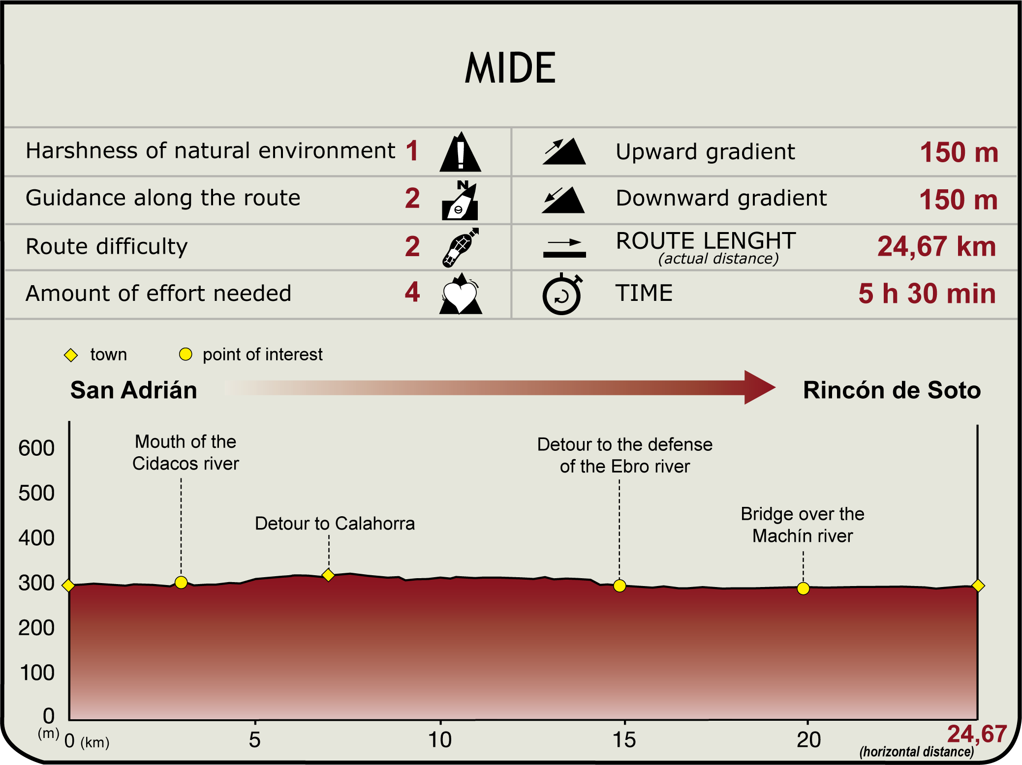
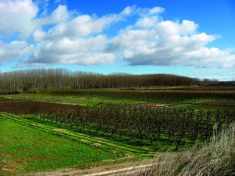
This Section begins at the old bridge over the Ebro in San Adrián (290 m). After crossing the LR-134, the route starts at Camino Viejo de la Barca, a dirt track to the left, parallel to the Ebro, which runs through fields, vegetable gardens and poplars, that herald the beginning of the Quebrada (a meander formed by the Ebro when it changed its course). The Ebro Nature Trail continues to the southeast, near the point where the Cidacos joins the Ebro, running upstream along the left bank of this tributary. The route heads towards the third side-track on the right, along Camino de la Quebrada until the Lodosa Canal.

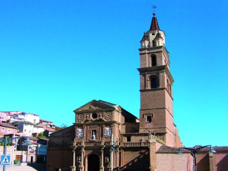
Soon after, it continues to the right, along the road that runs parallel to the Castejón-Bilbao railway line, leaving the bridge over the railroad to the left, and heading in a south-easterly direction to Calahorra, towards the Cathedral of Santa María (7.2 km, 1hr 30min).
Before entering this building, a walkway spans the Cidacos and meets the LR-486. Immediately after, a left bend leads to Camino de la Isla that crosses the Lodosa Canal, leaving behind Calahorra (315 m), a bi-millenarian city re-founded in 187 BC by Rome.
Past the cemetery to the right, the Camino de la Isla heads to the Ebro through fields of vegetables and vineyards. Glimpses can be had of San Adrián (west), Calahorra (south) and the rocky escarpments (north) dotted with woodland, near the shrine of Santa Cruz in San Adrian. At nine kilometres from the start, an offshoot road to the right drifts away from Camino de la Isla, through vineyards, to join a paved road that leads to the LR-486.

Several quarries dot both sides of the road. On the left bank, behind the quarries and the River Ebro, appear Azagra's ferry, Azagra (a town that will be visited in Section 19), and a vast expanse of crop landscapes.
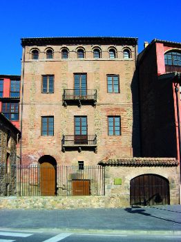
The road becomes a gravel path that leads to an intersection (15.1 km, 3hr 10min), crosses a small poplar grove and reaches the protection installed parallel to the river until the weir and the power plant next to the shrine of San Esteban (Azagra), on the opposite bank. The road continues upstream from the mouth of the River Machín, crosses Bardeje irrigation ditch and turns east towards Rincón de Soto. To the left of the road flows the now-channelled River Machín (19.9 km 4hr 10min) and, to the right, is the Castejón-Bilbao railway line. The route arrives at Rincón (285 m, 24.3 km, 5hr and 5min), a town with a wide range of services and home to the baroque parish church of San Miguel (18th C.), whose tower boasts Mudejar elements, and the beautiful 17th century manors on Trinitarios Street.
Sites of interest
Puntos de interés
Culture
Hydrography
Infrastructure
Municipality
Hostel
Profile

Highlights
Further information
Calahorra
Birthplace of the orator Quintilian and the Jewish thinker Abraham Ben Mair Ben Ezra, it had a large Jewish quarter that disappeared in 1492. A landmark on the Way of St. James, visitors can contemplate its history through fine pieces of art. “La Clínica” (1st century) and Planillo de San Andrés arch are from the Roman period. The Cathedral of Santa María (14th-15th C.), the church of San Andrés and the territorial scroll that declared Calahorra a free city in 1076 are from the Middle Ages. Renaissance is the façade of the church of Santiago and the mansion of Deanes, both from the sixteenth century. The sanctuary of Carmen (17th C.), and the house of Baronesa de Benasque (18th C.) are Baroque. There are also fine examples of modernism and “neomudejar”, such as Grande and Mártires streets, and the former Telegraph Office. Moreover, Calahorra is a major hub for distribution of vegetables in northern Spain. No visitor should leave without tasting the fine wines and the cuisine of the land –“pisto” (vegetable stew), asparagus, meats, “piquillo” red peppers, and sweets like the “Barilla” (“guirlache” nougat, almonds and anisettes).


