Net of Natural
Trails

Stage 19: San Adrián - Milagro
Description
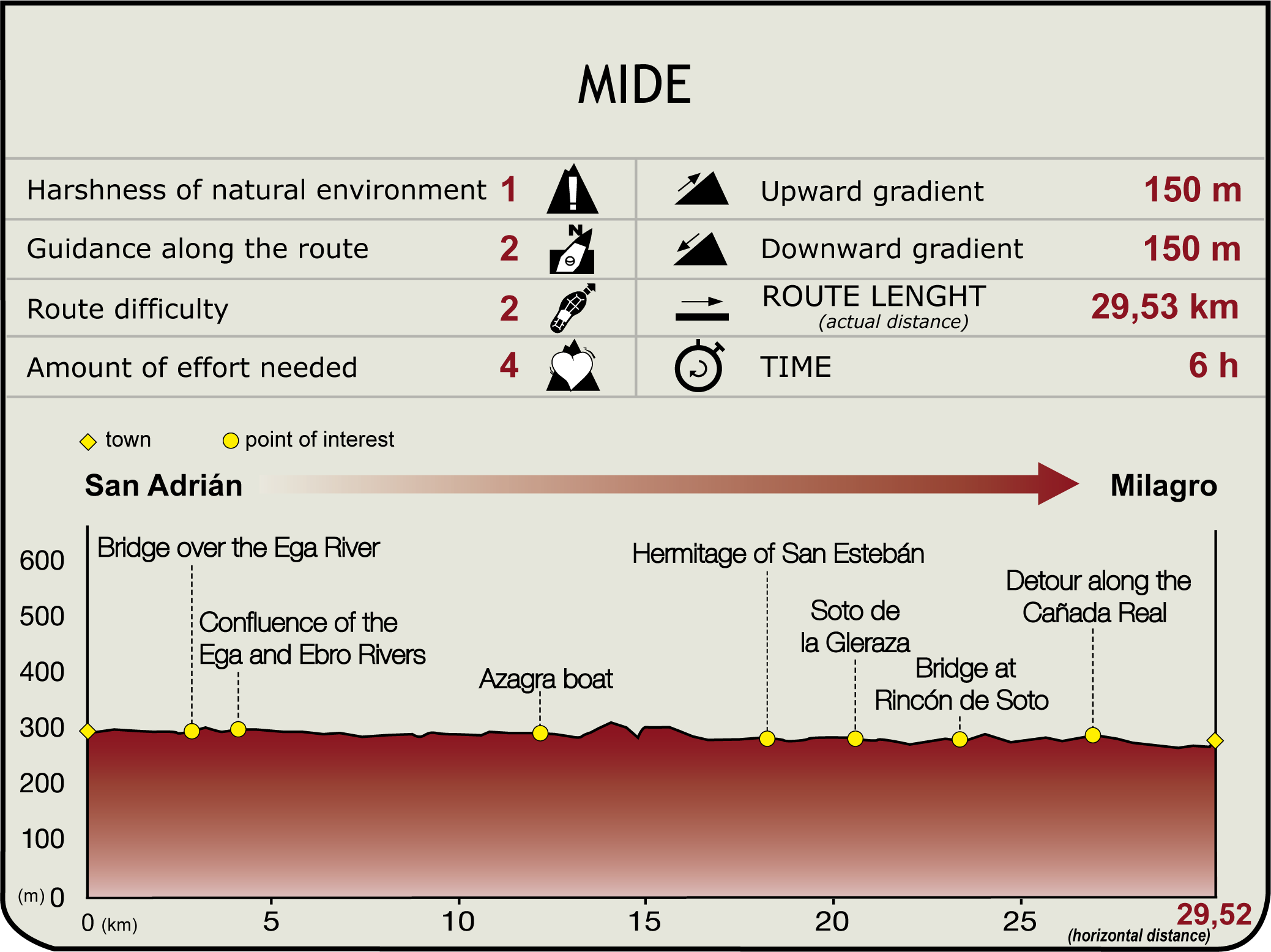
This Section begins in the eastern edge of the San Adrián Riverside Park (290 m) and heads east towards El Plantío recreation area, where it coincides with the SL-NA 200 “Desembocadura del Ega”. Both paths head through riparian forests and the orchards of San Adrián, skirting around El Plantío, El Soto and El Sotillo woodlands along the right bank of the river.
Further on, it crosses the bridge over this stream. Immediately after, the path leaves the NA-134 to turn right (southeast) onto a track that runs parallel to the left bank of the Ega (SL-NA 201), leading to the place where it joins the Ebro (4.7 km, 55 min). From here, the route continues along the left bank, past San Adrián power plant (along chalk cliffs, after leaving the SL-NA 201) and through groves, leaving behind the municipalities of Sotonuevo, La Rota, Paso Barco and Marina, with views of the gypseous cliffs near the town of Azagra.

Shortly after (14 km, 2hr 50min), the route reaches Barca de Azagra, restored after it was destroyed by floodwaters in 1964. The ferryman's house (an old building used as defence during the Carlist wars, and now a city warehouse), picnic tables, bar (open in summer), woodlands and a nautical beach can be found at this site. From here, a paved track leads to Azagra, one kilometre away.
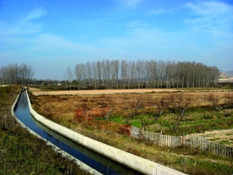
Past the recreation area, the road continues along the bank populated with fine examples of poplars. Two kilometres further on, the track becomes a defensive moat that turns left (north), leaving to the right the Voleta de Azagra backwater, one of the most valuable groves on the Ebro.
The route skirts around this site along a new road that runs parallel to the NA-134, under Los Forcos Cliffs. Without venturing onto the cliffs, the route turns right (south) through fields of crops, and heads along another impressive wall of towering cliffs that plunge straight down into the Ebro. Once at the top, the route switches to a paved track that skirts a gravel pit, then turns right (west) towards the 14th century shrine of San Esteban, situated along the banks of the Ebro (20.7 km, 4hr 20min).

Following the road nearest the river, the route soon reaches Machín hydroelectric power plant and dam, from where the road runs parallel to the edge, through deforested woodlands (like Serrano) and other areas carpeted with poplars, such as Gleraza or Puntal. This area is traversed by the road to Motarrón and an irrigation ditch.
This road, which runs slightly inland from the bank, follows the curve of the meander, through fields of crops. It continues parallel to the meanders, along the boundary between Navarre and La Rioja, and passes next to the remains of the Roman winery of Funes (free access) near Rincón de Soto Bridge (26.9 km, 5hr 35min).
After crossing the NA-115, the route continues east along a paved track that soon turns north (disregarding an offshoot road to the right) and climbs up to a terrace, where the paved track ends. The route turns right along a dirt track through vineyards, fields of cereal and vegetable gardens. One kilometre further on, at an intersection, the route turns right, then left, past the buildings of the San Juan “dehesa”. The road heads due east along the drovers' road towards the town of Milagro (290 m, 34.2 km, 7hr 5min), through croplands and parallel to an irrigation ditch.
Milagro offers a good range of services and is home to the Basilica of Nuestra Señora del Patrocinio, the church of Nuestra Señora de los Abades, the medieval Mirador watchtower and the Renaissance palace and house of Carrillo. Opposite the church is a viewpoint from where there are panoramic views of the mouth of the River Aragon.
Sites of interest
Puntos de interés
Culture
Hydrography
Information
Infrastructure
Municipality
Hostel
Vegetation
Profile

Highlights
Further information
The Voleta de Azagra
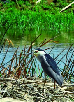
This woodland on a free meander of the River Ebro is most notable for its reed bed of high ecological value, not to mention other species such as black poplars, willows, ashes, white poplars, elms and tamarisks. A large colony of fish-eating birds, including little egrets, black-crowned night heron or egret can also be found.


