Net of Natural
Trails

Stage 15: Elciego/eltziego - Oyón/oion
Description
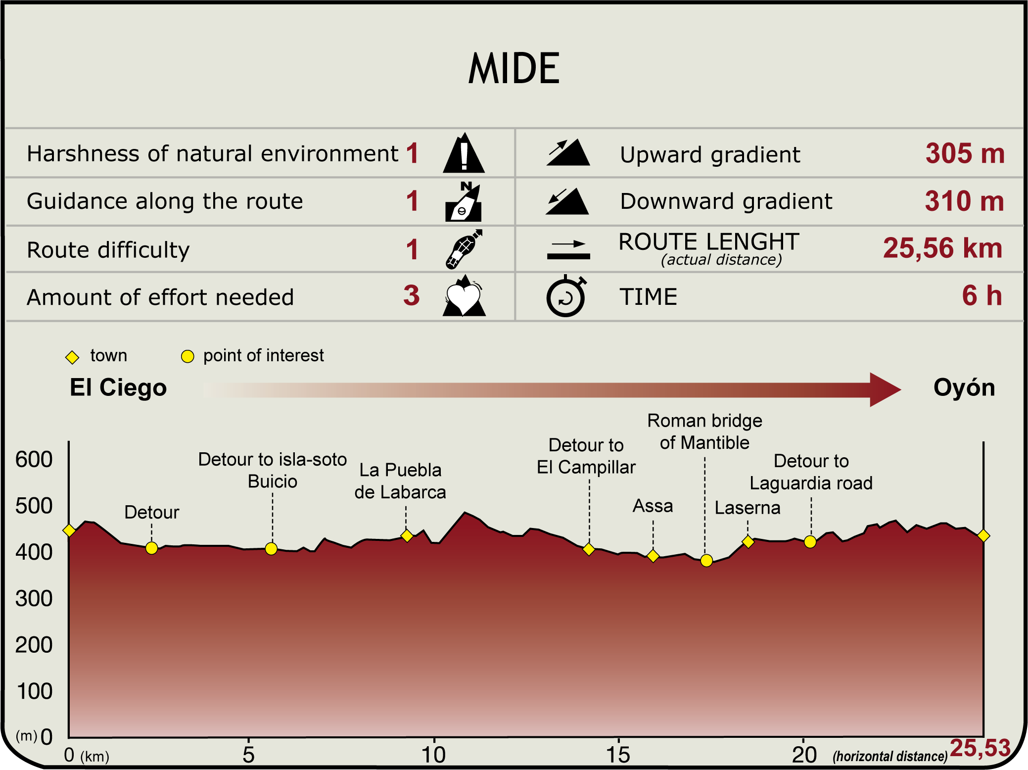
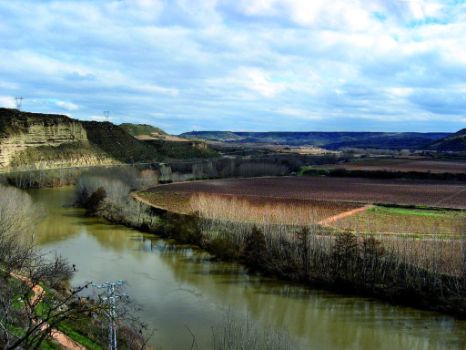
The route starts at the information panel of Elciego/Eltziego (435 m), next to Marques de Riscal winery, in the southern part of the town, along the A-4208. Immediately after, the route turns SE along a track towards the Ebro and its woodlands, carpeted with vineyards. Soon after, the road is wedged between the watercourse and the escarpments along the river, in the so-called El Encinal area.

The Ebro Nature Trail heads towards the River Ebro and ventures into Buicio recreation area, near a weir, populated with groves and islands of special ecological value.
The treed island of Buicio, situated in a large meander, is covered with riparian undergrowth. The island was formed during the construction of the Buicio weir. Nature has adapted in a magnificent way, creating a lush island with exceptional riparian vegetation. The island has been not only designated an Exceptional Vegetation Site, but also included in La Rioja's PEPMAN and in the Basque Country's Network of Areas of Natural Interest.
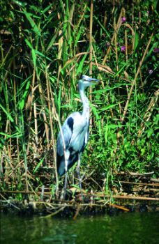
From here, the route heads north along a paved road, surrounded by vineyards. Further on, it is encased by the embankments and meanders of La Puebla de Labarca (Area of Natural Interest of the Basque Country), an extraordinary blend of riparian vegetation and clay cliffs, and an excellent habitat for herons, egrets, trout, otters and European mink.

La Puebla de Labarca, (9.6 km, 2hr 5min) is accessed from the southwest. The old ferry crossing of Laguardia that connected Fuenmayor and Navarrete has been preserved next to the Ebro, at the place where the ferry linked with the Tarragona-Astorga Roman road. The town, a real balcony over the River Ebro, is home to the church of Santa María, numerous manors and palaces, and family wineries.
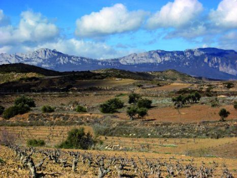
The route heads northeast, with views of Sierra de Francia and Sonsierra, along a track that crosses Valle Brook and the Rad irrigation ditch. The landscape, dotted with several huts along the course, is surrounded by vineyards.
After reaching a small hill, the route runs along a flat stretch to an area of quarries, then descends and crosses Morales Ravine, where it joins the A-124 that leads to El Campillar and Assa. Halfway between the two towns is Redondo de Assa oak, listed as Singular Tree.

The GR 99 continues along the A-124 for about 500 m, then turns to the right, towards the remains of the Roman bridge of Mantible, accessed by a dirt track. The path heads to Laserna, (17.8 km, 4hr), a village nestled in the Ebro River terraces, surrounded by vineyards (Area of Natural Interest of the Basque Country). The village consists of a cluster of stone houses and the remains of a castle, whose origin is related to the derelict Mantible Bridge, located on the ancient river terraces. Nearby is the San Rafael Wine Estate, famous for its Contino wines.
Leaving Laserna to the north, along the A-4203, the route crosses the A-124 and continues along the track until it reaches another track that runs perpendicular, near Vergara farrow (coincides with GR 38). This road to Laguardia leads to Oyón/Oion (430 m), which is accessed from the west and ends in the Río Grande Park (25.6 km, 5hr 50min). Oyón is home to the 18th century church of Santa María de la Asunción and its tower, known as the “Giralda”, and the shrine of Virgen de las Viñas, with magnificent views of the surroundings.
Sites of interest
Puntos de interés
Culture
Municipality
Hostel
- Parador de Calahorra
- Parador de Argómaniz
- Parador de Santo Domingo San Bernardo de Fresneda
- Parador de Santo Domingo de la Calzada
Vegetation
Profile


