Net of Natural
Trails

Stage 14.1: Baños de Ebro - Cenicero
Description
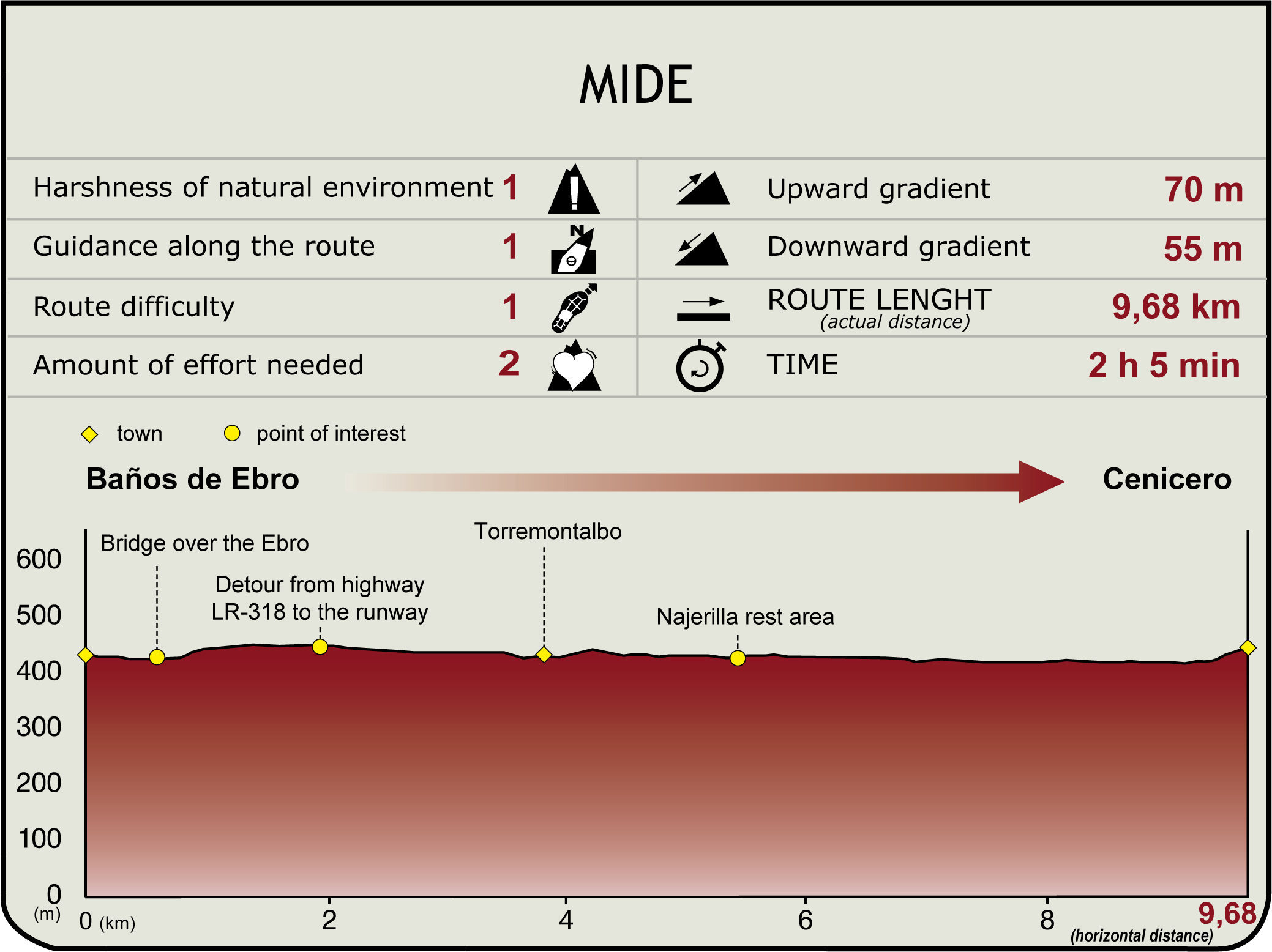
The route begins at the bridge located in the town of Baños de Ebro/Mañueta (420 m), the natural border between the Basque Country and La Rioja. The road continues one kilometre along the shoulder of the LR-318 until it turns off to the left (1.7 km, 25min), through extensive vineyards, onto a farm road leading to the Castejón-Bilbao railway line crossing at Torremontalbo, a town divided into two by the N-232.
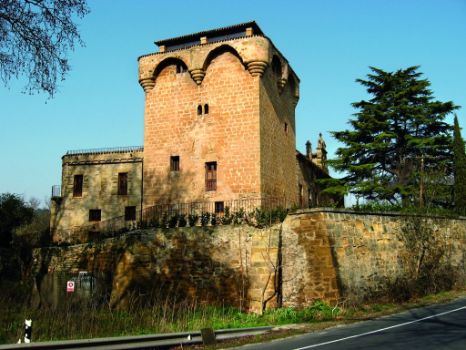
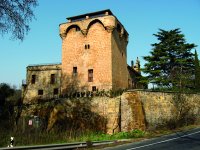
This may have been a crossroads on the Roman road between Vareia (Logroño) and Briones. Its most striking building is the Gothic watchtower, dated between the fourteenth and fifteenth centuries. Noteworthy also are the manors emblazoned with coats-of-arms, the agricultural holdings and the crossing over the River Najerilla, near its mouth. The route must cross the village to reach the N-322, which leaves Torremontalbo to the left. After a short stretch along the road, during which the route crosses over the River Najerilla, there is a guardrail that must be crossed to continue along a path to the right. The river descends parallel to the river under the railroad tracks and reaches the rest area of Najerilla River (4.2 km, 55min).

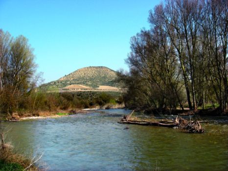
Between Torremontalbo and its mouth is a site listed as an Area of Singular Vegetation under the Special Environmental Protection Scheme (PEPMAN) of La Rioja. It is a fine example of a gallery forest with lush and varied riparian vegetation, populated by otters and European minks. These coppices and "mejanas" (sunken river islands) are interspersed with numerous traditional vegetable gardens.
The Ebro Nature Trail then turns left and follows the Regadío irrigation ditch, hugging the upper terrace scarp of the Najerilla-Ebro system. Disregarding the branch that leads to the mouth of the Najerilla, the route, surrounded by riparian trees and secluded river beaches, comes upon the place where it descends along a track to the left along the Ebro’s bank, drifting away from the parallel to the irrigation ditch.
This site is designated a Traditional Vegetable Garden under PEPMAN. The Huertas del Najerilla (HT-6), 12.25 ha, are vast, highly productive fertile plains and irrigated lands with a landscape of exceptional quality. After crossing the Regadío irrigation ditch (6.3 km, 1hr 20min), the road turns to the right, parallel to the banks of the Ebro, with the town of Cenicero in view.
After a stretch along the river, past the railway line, the route reaches a paved road that ventures into the town. Here starts a climb up the street parallel to the railway line and the Ebro. This stretch provides magnificent views of La Rioja Alta: Sierra de Francia, Sonsierra, open spaces, broad meanders, coppices and river islands along the Ebro Valley, as well as vineyards, both irrigated and rainfed. At the end, a narrow road leads to the church square (8.3 km; 1 h 45 min).

Cenicero (435 m), a densely populated town with about 2,400 inhabitants, is situated on a broad meander, nestled on the terraces that feed the Najerilla and Ebro. Its lives primarily from wine production (many famous wineries are located here), complemented with irrigated and rainfed crops. It also has an outstanding heritage, including the parish church of San Martín (16th C.), the shrine of Virgen del Valle (16th C.), a 16th century stone cross, and cellar-houses used in the feast of Santa Daría to serve "zurracapote" (a popular drink made of wine, lemon and sugar).
Sites of interest
Puntos de interés
Hydrography
Municipality
Hostel
Profile
