Net of Natural
Trails

Stage 14: San Vicente de la Sonsierra - Elciego/eltziego
Description
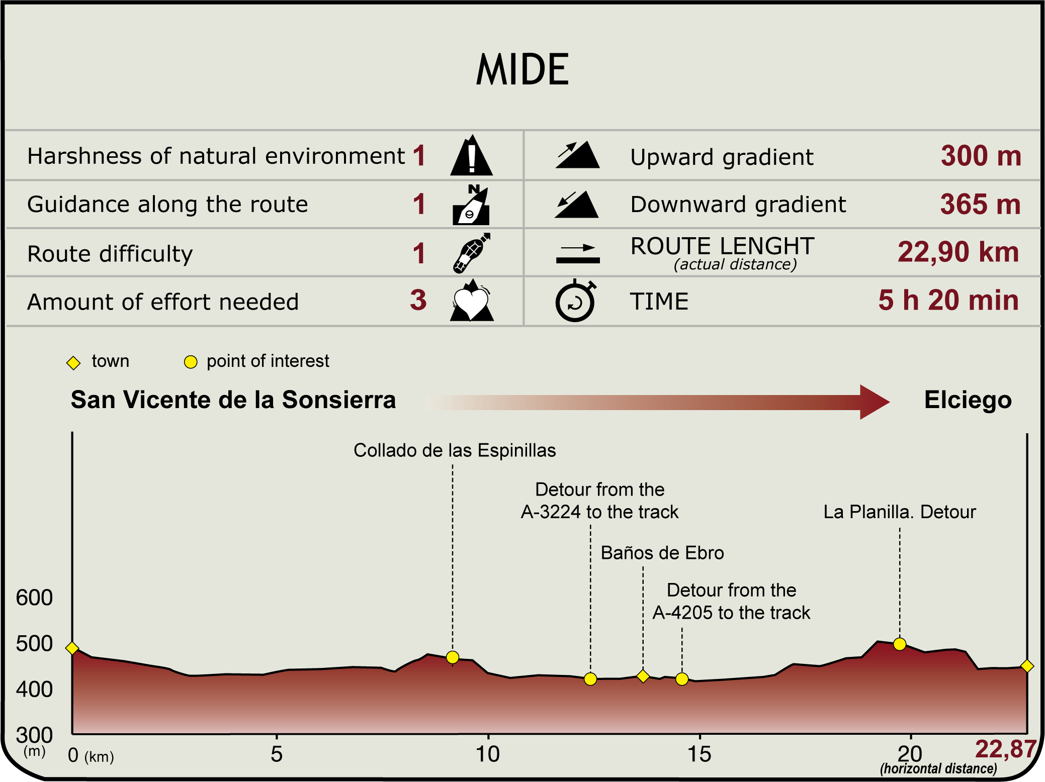
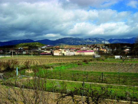
From the San Juan de San Vicente quarter (500 m), the route heads to the intersection with the road that comes up from the river, and continues along the track heading south to the cemetery.
Immediately after, it turns onto a paved road that descends and crosses the Riera Ravine, then climbs up to a small plain, descends again to cross Hondo Brook, and finally runs along the banks of the Ebro. Good panoramic views of San Vicente and the vast rolling vineyards can be seen throughout.

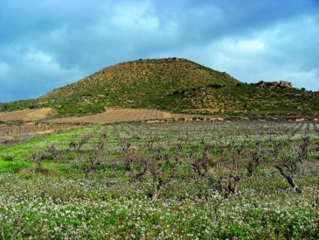
The GR 99 advances along the road to Salmuera, wedged between Mindiarte Hill (547 m) and the Ebro. Further on, below the Davalillo castle nestled on a hill, the route runs next to the river under the vineyards, then back again on the paved road. The river makes a large meander, embellished with riparian vegetation and vineyards on fertile soil.
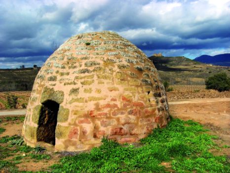
The route continues until it reaches Montecillo Hut, a recently restored domed stone "guardaviñas" (vineyard guard's hut), and a legacy of the secular agricultural structures typical of the area.
In its ascent, the route offers magnificent views of the valley, both of San Vicente and Baños de Ebro/Mañueta, which can be glimpsed between the slope, the river and Venta de San Asensio, on the south bank atop a cliff. This is an intensively cultivated landscape shaped by human activity, with different textures and colours throughout the year. At about 100 m from Espinillas hill (465 m), (9.1 km, 2hr 5min) stands Veguilla Hut and, soon after, the track comes upon the A-3224. After about one kilometre, the route turns right, parallel to the Ebro, onto a dirt road between riparian woodland, until it reaches Baños Bridge, where it links with Section 14.1.
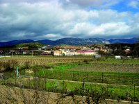
It then continues to the baroque parish church of Nuestra Señora de la Antigua (16th-18th C.) in the town of Baños de Ebro (13.6 km, 3hr). The landmarks of this town are the 16th century shrine of San Cristóbal, and the family-owned wine cellars, where each grower prepares its own young and aged wines.
The route leaves the village along the road behind the church, towards the weighbridge and the A-4205. Immediately after, the route crosses several groves at Baños de Ebro, leaving the road to the right. This area is listed as a Preferred Area of Natural Interest of the Basque Country, and an outstanding example of riparian vegetation (alders, poplars, ashes, willows and undergrowth). The track then climbs up the south slope of Mount San Quiles (516 m), where the remains of an Iron Age settlement can be found.

The route drifts away from the Ebro and ventures through vineyards, overlooking the mouth of the Najerilla on the opposite bank. It then passes through Barrancos, across undulating terrain where new vineyards are thriving. After climbing further on, the route fords a brook, leaving several offshoot roads to the left and right. The A-3210 road is accessed from La Planilla (19.6 km; 4hr 30min).
After turning right, the route arrives at Elciego/Eltziego (435 m), where it links with Section 15 (22.9 km, 5hr 15min). The town, nestled between both sides of the River Mayor, has an architectural ensemble consisting of emblazoned manors and palaces, the parish church of San Andrés, and the Basilica of Nuestra Señora de la Virgen de la Plaza. It also has a long wine-making tradition. The innovative Marqués de Riscal winery and hotel designed by Frank O. Gehry is currently a major tourist attraction.
Sites of interest
Puntos de interés
Culture
Hydrography
Municipality
Hostel
Profile
