Net of Natural
Trails

Stage 13.1: Haro - Briones - San Vicente de la Sonsierra
Description
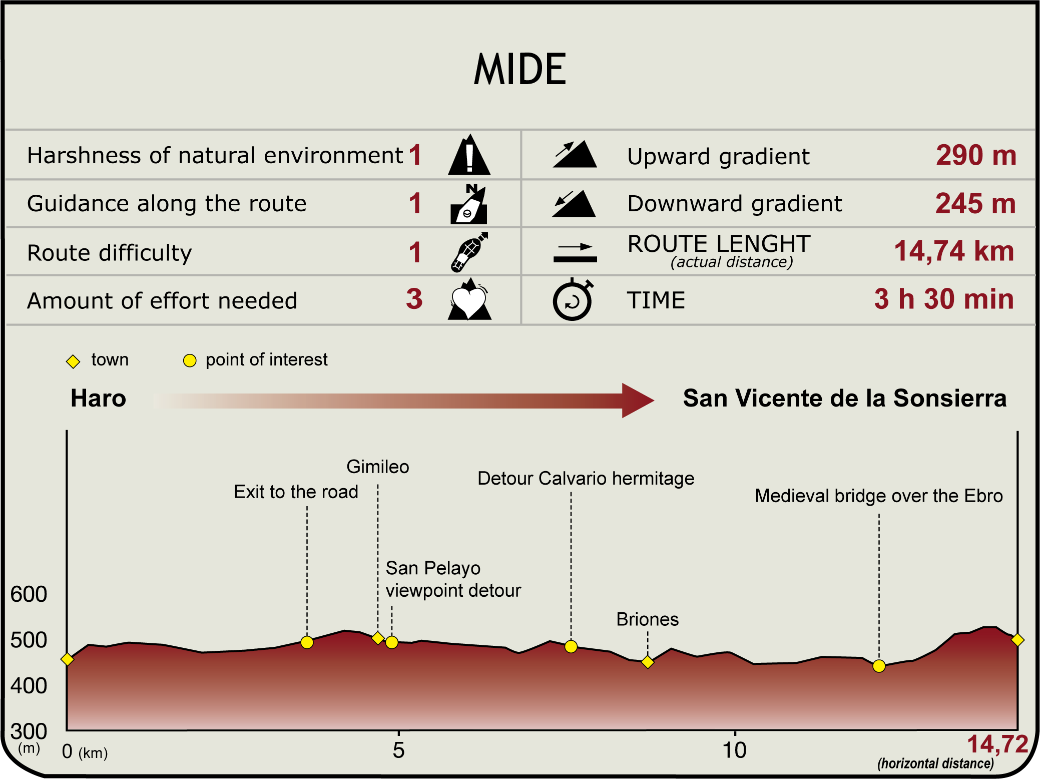
This Section starts at Juan Carlos I Avenue in Haro (455 m), a major communication hub in La Rioja Alta. Various roads start or transit through this city - to Miranda de Ebro and Vitoria to the north; Logroño and Saragossa to the east; Burgos to the west; and, Sierra de la Demanda and San Millán to the south.

Haro not only offers all types of services, but is home to famous wineries and architecturally significant buildings listed as artistic heritage, including the baroque basilica of Nuestra Señora de la Vega (18th C.), the Gothic church of Santo Tomás (16th C.), with the first baroque tower ever built in La Rioja (1671), the 18th century neoclassical City Hall, built by Ventura Rodríguez, and numerous palaces, such as the plateresque Palacio de Beldaña or Casa Paternita (16th C.), Tejada (18th C.), Condes de Haro (16th-17th C.) and Salazar (18th C.). There are also two notable gateway arches -San Bernardo and Santa Barbara-, and the Briñas Bridge, en route to Santo Domingo.
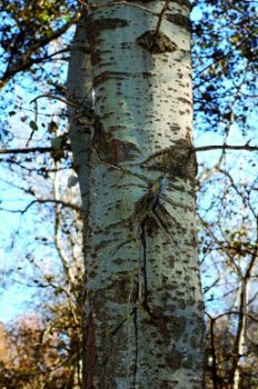
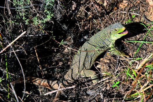
Leaving behind Haro's cemetery, route arrives at the N-124 two kilometres further on. After crossing the road, it veers onto a side-track towards Gimileo (4.8 km, 1hr 10min), a town with a range of services and home to the 16th century parish church of San Martín. There are magnificent views of the Ebro from San Pelayo viewpoint. The landscape throughout most of the route until San Vicente de Sonsierra is mostly uniform; a sequence that meanders around islands, coppices, traditional vegetable gardens and a variety of wildlife.

After crossing the town, the route continues along the vineyard-lined track to Calvario, located on the upper terrace of the Ebro. Leaving behind the shrine of Calvario (513 m) on the summit of the northern slope, the route crosses Pozo Brook. On the left, County San Millán, a fertile plain listed as Traditional Vegetable Garden (HT-1 under the Special Environmental Protection Scheme of the Regional Government of La Rioja, extends all the way to the river.
After 4 km, the route reaches Briones (8.7 km, 2hr 5min), with notable monuments, including the 16th century church of Asunción, the Moorish castle, 18th century palaces and mansions, caves or cellars cave, and the shrines of Calvario, Santa Lucía, Concepción, San Bartolomé and San Andrés.

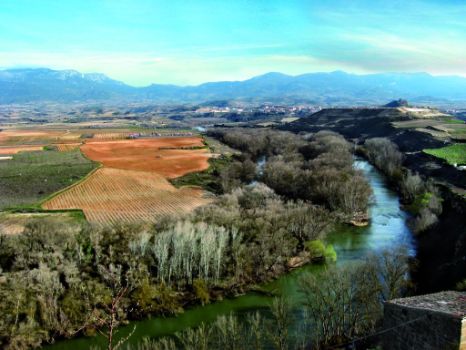
The Ebro Nature Trail crosses under the railway line and turns left, disregarding the western entrance to Briones. The Trail heads along the walls of the town, leaving the Bilbao-Castejón railway line to the right, and the Ebro to the left. From here, there are sweeping views of the Briones Bend, with its coppices, islands, and traditional vegetable gardens (also listed as HT-1 under the Special Environmental Protection Scheme of the Regional Government of La Rioja).
Impressive panoramic views of the Ebro's tree-covered islands, San Vicente and Sonsierra, and the foothills of Toloño Mountain Range can be seen from the castle tower.

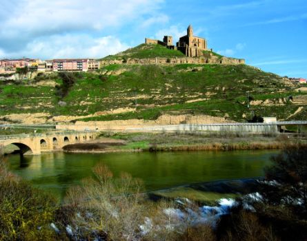
It immediately comes upon and crosses the road LR-210, to continue along several gravel pits. To the northeast, amidst fields of cereal and vineyards, the route climbs down a path that leads back to the road, which, in turn, heads towards a bend to the left, across a medieval stone bridge (12.1 km, 2hr 55min). After crossing to the left bank, the route climbs up to the town of San Vicente de la Sonsierra, where it links with Section 13 (500 m, 14.3 km, 3hr 30min).
Sites of interest
Puntos de interés
Municipality
Hostel
Profile
