Net of Natural
Trails

Stage 12: Miranda de Ebro - Haro
Description
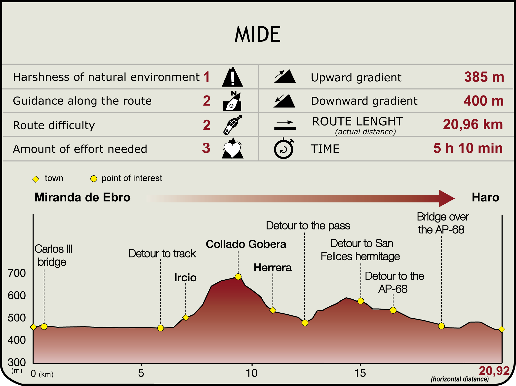
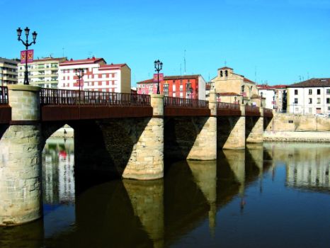
Leaving Miranda (460 m) behind along the right bank of the Ebro River Park, the route heads through the tree-lined promenade until it reaches an eastbound dirt track, with the river to the left. The Ebro Nature Trail runs along the meandering course of the river, populated with alders, ashes and poplars. The river receives water from the River Bayas, and further on, from the Zadorra. From here, the route continues south along a track, through farmlands, and links first with a dirt road, then a paved path.

The path passes next to this track under the bridge and the railway line, and reaches an open area with vegetable gardens. The route, which runs parallel to the new paved path leading to the village, climbs up a narrow path to "Balcón de Castilla" and Ircio Square. The town is home to the baroque church of San Pedro built between the 15th and 18th centuries. It also offers sweeping views of the surrounding areas from the viewpoint (7 km, 1hr 30min).
At Ircio, the GR 99 crosses the motorway and continues along a dirt road, which is the most demanding part of the route. After leaving the road, the journey continues down a grass path to the south towards Gobera Hill (680 m). The hill is reached by a bridle path, through dense kermes oaks and boxwood forests, and continues along a gas pipeline.

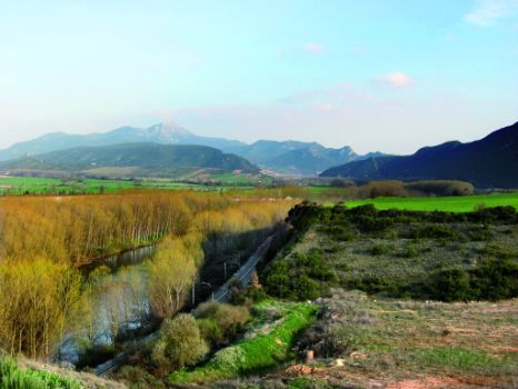
Panoramic views of Montes Obarenes Nature Reserve, Sierra de Toloño and Conchas de Haro can be seen from the hill. A track through kermes oak, boxwood and Portuguese oak woodlands heads down to Herrera, first in a south-easterly direction, then, due south, near a large fir-lined field. This track leads to the Monastery of Santa María la Real de Herrera, or Camaldolese, as it is also known, built in the 13th to 18th centuries, with ancillary buildings to the right.
After the fork, (11.2 km, 2hr 55min), the route continues to the left for about 250 m and reaches the salt pits of Herrera, which were owned by the monastery. Only the remains of the salt pits and wells, the waterwheel used to raise water to the ponds and the storage house, arranged in a terraced structure, can still be seen.
The route continues alongside the brook by a track leading to several fields dotted with large oaks. From here, the road climbs up a small hill (590 m) on the right, and continues along the AP-68 to a bridge (15.1 km, 3hr 50min) that gives access to a picnic area, the shrine of San Felices and the Bilibio Cliffs (overlooking Conchas de Haro), with magnificent views of the surroundings.

The route winds along the old Roman road, which overlaps the Oja-Tirón path, through vineyards and fields of cereal, until it crosses the bridge over the AP-68 to reach the LR-306. After crossing this road, the route turns right and runs parallel to the road, the railway line and Haro's vineyards. Shortly after crossing the railway tracks, next to the LR-306 is a slip road on the left that leads to the Bodegas Bilbaínas estate. Next to this building is the bridge over the River Tirón, where the route links with Section 13 (445 m , 21.6 km, 5hr 20min).
Haro has a beautiful historic centre with all types of services. However, the town is most famous for its wineries and Qualified Designation of Origin Rioja wine.
Sites of interest
Puntos de interés
Culture
Infrastructure
Municipality
Hostel
Profile


