Net of Natural
Trails

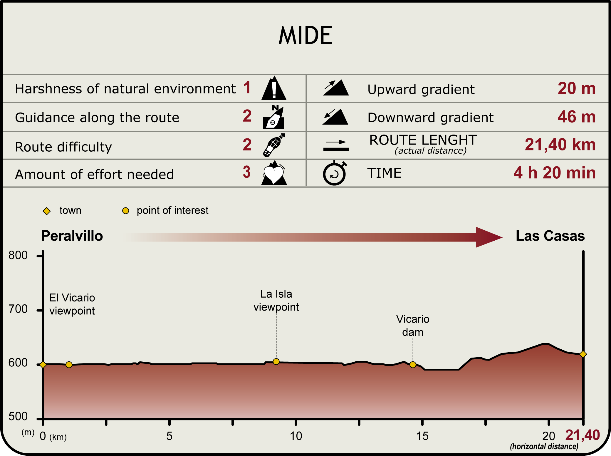
Stage 8: Peralvillo - Las Casas
Description
Skirting around El Vicario Reservoir
The Trail runs along El Vicario Reservoir, from where one can view the plentiful birdlife from various viewpoints or nooks and crannies around the reservoir.

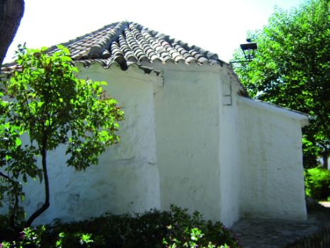
The Stage begins at Peralvillo, next to the shrine of San Marcos and opposite the CN-401. Caution should be exercised when crossing this road, as it overlaps with the Trail during 25 m. It then turns right to cross El Vicario Reservoir.
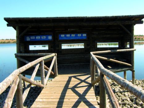
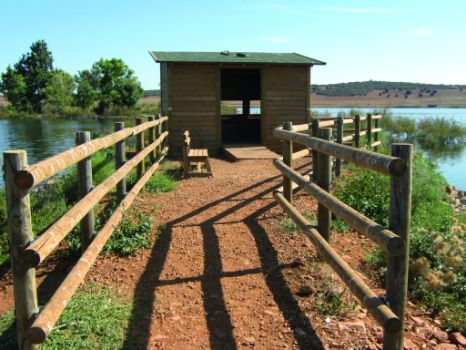
Immediately after crossing the road, the Stage turns left, and about 500 m further on, arrives at El Vicario Viewpoint. This area plays host to a rich diversity of bird species, including the Cattle Egret (Bubulcus ibis), very common in spring during the breeding season; Montague's Harrier(Circus pygargus), a reed-nester; Northern Harrier (Circus cyaneus), a species present only in the winter when one can see it flying low over the open terrain and farmlands, foraging for rodents and small birds; Western Marsh Harrier (Circus aeruginosus), which lives in river valleys, wetlands and marshes; and Black-winged Stilt (Himantopus himantopus), which feeds on small invertebrates.

The Stage advances towards a fork where it turns left. About 100 m further on, it skirts around a house, and continues along a narrow road to the reservoir. Special attention must be paid here not to confuse the path with a wide, well-maintained farm road that starts at the front of a house. The Trail meanders around the reservoir along a winding road, surrounded by vineyards, fields of grain, and olive groves.
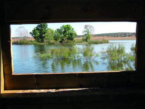
The route crosses three times the farm road mentioned above. After the last crossing, it continues about 1.5 km to Isla Viewpoint, which juts out into the reservoir. One can see from here an island in which numerous bird species find shelter.

One can watch various bird species from the silent viewpoint, including the Mallard (Anas platyrhynchos), Red-crested Pochard (Netta Rufina), Common Pochard (Aythya ferina), Northern Shoveler (Anas clypeata), Eurasian Teal (Anas crecca), Common Coot (Fulica atra), Black-headed Gull(Chroicocephalus ridibundus), Black-winged Stilt and Grey Heron (Ardea cinérea).derecha
After this break, the Trail continues until a directional sign in the fishing area, where a large group of anglers come together and participate in fishing competitions. The most common species found here are the common barbel (Barbus bocagei), carp(Cyprinus carpio) and black bass or largemouth bass(Micropterus salmoides). The route continues along one of the reservoir's branches. At the end of a long straight stretch flanked by olive trees is a recreational area with barbecues that is frequently used by anglers. El Vicario Reservoir is a place of great ecological and recreational interest, owing to its proximity to the city of Ciudad Real and the appeal of water sports activities.

The area surrounding El Vicario Reservoir plays host to a number of reptile species, including the ocellated lizard(Lacerta lepida), Montpellier snake (Malpolon monspessulanus) and Mediterranean turtle (Mauremys leprosa); as well as small mammals like the fox (Vulpes vulpes). Other common species are considered game species, including the European hare (Lepus europaeus), wild rabbit (Oryctolagus cuniculus) and the Red-legged Partridge(Alectoris rufa). The vegetation closest to the Reservoir consists of tamarisk(Tamarix africana), bulrush(Typha dominguensis) and common reed(Phragmites australis) as well as white poplar (Populus alba), The vegetation found in the more peripheral areas depends on the topography and crops. There are, for example, residual species typical of Mediterranean forests, including broom (Retama sphaerocarpa), thyme(Thymus sp.), lavender(Lavandula latifolia), turpentine tree (Pistacia terebinthus) and holm oak (Quercus ilex).
Further along the Trail is an intersection where the path turns left (the right branch leads to Picón) towards El Vicario Reservoir, which it crosses.derecha

On the opposite side of the reservoir, the Trail turns right and continues parallel to the River Guadiana along a very narrow path, sometimes overrun with marsh vegetation. The path passes next to small cliffs, which must be skirted to climb up to "La Casita del Pescador” farmstead.
The Stage continues straight ahead to a junction, where it turns right. Caution should be exercised as the Trail runs for 3.8 km along a paved road leading to Las Casas that is shared with motorised vehicles. After 1.5 km, the route arrives at an intersection with the CM-412. Caution should be exercised again at this overpass owing to motorised traffic.
As the Stage draws to its end, it continues straight ahead along another straight stretch leading to a crossroads where Sections 8 and 9 meet. The travellers who wish to continue to Stage 9 should turn right. Those who wish to finish Stage 8 should turn left, opposite the CM-412, towards the town of Las Casas, located just one kilometre ahead.Additional information
Entidades Gestoras
- Ministerio de Agricultura, Pesca y Alimentación
Enlaces de interés
Profile
Highlights
Further information
El Vicario
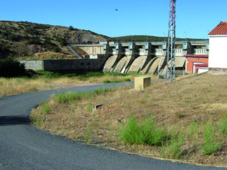
Located within the province of Ciudad Real, El Vicario Reservoir sits on a small Palaeozoic quartzite formation on the River Guadiana. This 173-metre long gravity dam with a crest altitude of 21 m held approximately 7 hm3 in 1973 when it was brought into operation. Its capacity increased to 33 hm3 when the sluice gates were installed in 1989. The reservoir straddles the municipal boundaries of Ciudad Real (left shore) and Miguelturra (Peralvillo Alto, right shore).


