Net of Natural
Trails

River Guadiana Nature Trail
Description
select a stage:

The Guadiana is an international river. It rises in Ruidera, between Albacete and Ciudad Real, and gently descends through the southern half of the Iberian Peninsula. It flows into Portugal, forming a natural border between the two countries, before emptying into the Atlantic Ocean. The Guadiana Nature Trail runs across the provinces of Albacete, Ciudad Real, Caceres, Badajoz and Huelva.
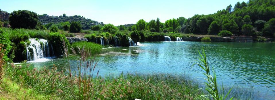
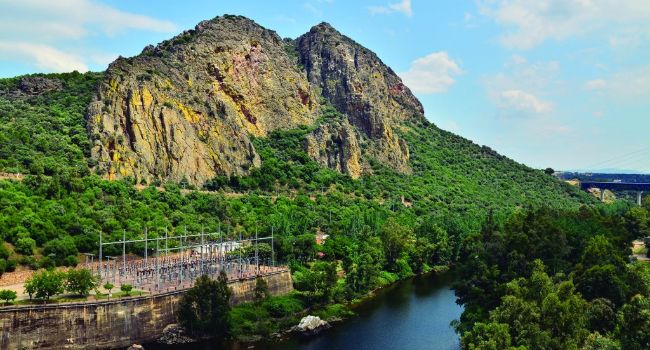
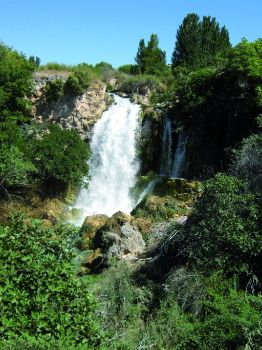
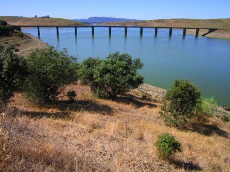
The physiography of the Guadiana basin is varied and complex. It consists of numerous rivers and brooks, large lagoons and aquifers, gullies, ravines, gorges, etc. The endorheic phenomenon that takes place near Argamasilla de Alba, where the river disappears almost completely to reappear in Ojos del Guadiana, is of particular interest. A large underground aquifer percolates into lagoons or ponds intermittently distributed throughout a fairly arid region, creating unique wetlands. The hydric stress typical of this basin is caused by the Meso-Mediterranean or Mediterranean climate, according to certain classifications, hence, the existence of hydraulic infrastructures and areas, including dams and reservoirs such as El Vicario, Cíjara, Garcia de Sola or Montijo.
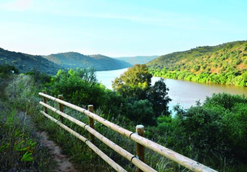
The Guadiana basin is not only home to large fauna and flora communities, including endemic species, but also a primary shelter for a vast number of wintering birds. Its banks are key to enhancing wildlife diversity. It should not be forgotten that the Trail traverse through many Special Protection Areas (SPAs) and numerous Sites of Community Importance (SCI) and protected areas located within the basin. This only highlights the enormous ecological and environmental value of the territories washed by the Guadiana.
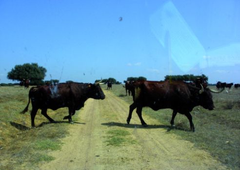
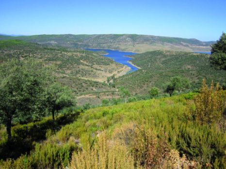
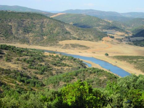
In the journey along the river, the traveller can discover a huge variety of landscapes that coexist in perfect harmony. To the east, the landscape is dominated by the vast plains of rainfed cereals, shelter to many wildlife species, including year-round raptors. To the north, meadows peppered with ancient holm oaks, and to the south, the horizon overlooks irrigated fertile plains. The importance of stock farming is quickly noticeable in many places along the Trail, where pens, cattle sheds, drinking troughs or sheepfolds can be found.
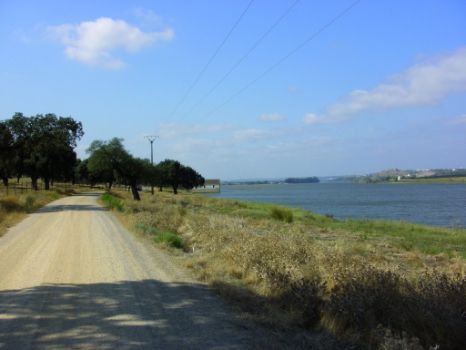
One of the most outstanding features of this route is the use of water resources for cultural and recreational purposes. The protection and improvement of the environment is made compatible with various associated uses (social, recreational, cultural, landscape, etc.), in particular, environmental education. To that end, nature interpretation centres and nature classrooms play a prominent role in educating citizens about the river. There are also several bird observatories and rest areas, some built on river beaches with facilities for bathing and other sports activities, including fishing.
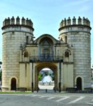
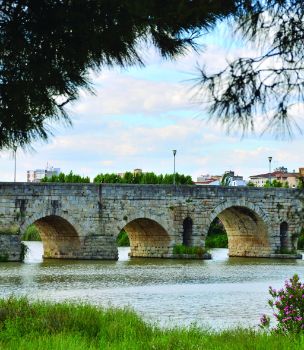
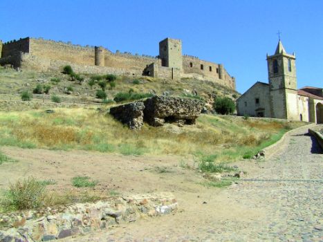
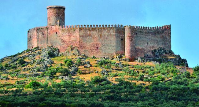
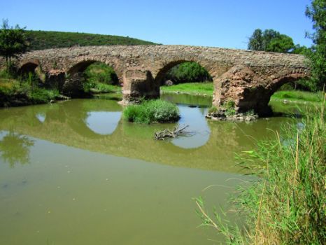
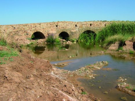
The River Guadiana owes its name to the many civilizations that have passed through the Iberian Peninsula. The Romans called it the River Ana (Fluminus Anae, "Duck River"), and the Muslims replaced the Latin word "river" (fluminus) for its equivalent in Arabic Uadi. This is the name by which the river is known today. There is numerous evidence of both civilizations along the Trail: Roman bridges like the one located in ancient Emerita Augusta (Merida), medicinal baths, the Roman road and villas near Pueblonuevo, or the Muslim castles of Peñarroya and Cuncos. It also holds remains that illustrate the transition from medieval to modern times, including the War of Spanish Succession, with castles such as Medellín, which played an important role in the conquest of America.
Another way to experience the vast ecological, historical and cultural heritage of Guadiana basin is to take tourist routes available in some sections, including the "Ruta de la Plata" (Silver Route) that traverses through Extremadura, or the "Ruta del Quijote" (Don Quixote’s Route), that follows the footsteps of the legendary literary character, travelling along the cattle trails, historic trails, greenways, glens, and footpaths where his alleged adventures in La Mancha took place. There are also other Greenways: former railway lines now used for recreational purposes, such as the one that crosses Badajoz and Huelva along the "Ruta del Contrabandista" (Smuggler's Route) following the footpaths and old roads used by smugglers.
The traveller will be hard-pressed not to find an incentive to embark on this long and exciting walk along a comprehensive and varied route that opens a world of possibilities.


