Net of Natural
Trails

Stage 7: Santuario de la Encarnación - Peralvillo
Description
Between Calatrava Castle and the tail of El Vicario Reservoir
The Stage runs through rich wetlands and peatlands along the River Guadiana, which serve as nesting sites for different bird species, such as herons, sandpipers and several duck species.

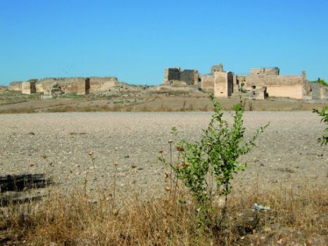
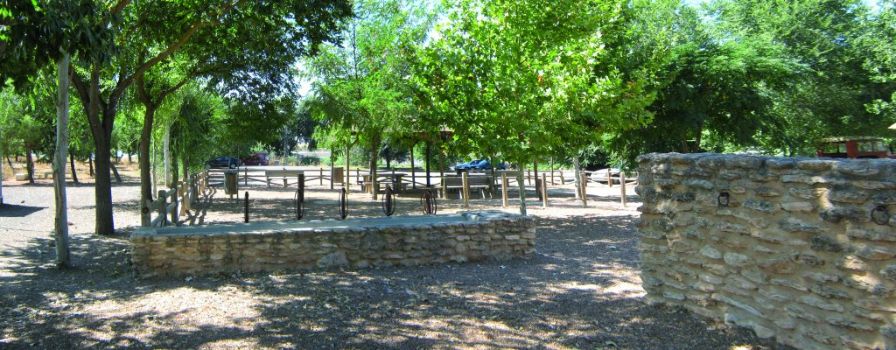
The Sections begins in the recreational area next to the Sanctuary of Nuestra Señora de la Encarnación, overshadowed by the impressive ruins of Calatrava La Vieja Castle. There are nearly one-hundred barbecue pits in the large woodland near the shrine. It also has toilets, tables, benches and a kiosk-bar.
Calatrava la Vieja Castle, one of the most important and well-preserved medieval sites in the Iberian Peninsula, may be visited from the recreational area. It was the urban settlement of the Caliphate that ruled the region between the 8th and 15th centuries, and the first Templar property in Castile.
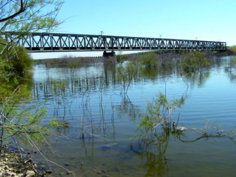
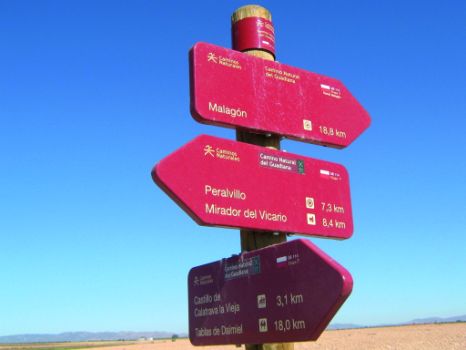
Here starts Stage 7, on a paved road that overlaps with the Route of Don Quixote. The route turns right at the first junction, onto a dirt road that winds around the Calatrava la Vieja Castle. The Trail continues straight ahead, without straying, to a bridge over the River Guadiana. After crossing the bridge, the route ventures through fields of crops. The road then turns left, passing in front of a group of white houses known as "La Casa del Quinto", then continues until a signposted intersection. At this intersection, one can either take the 9.2-km path to Malagón (right) or follow the main route to Peralvillo (left).
Path to Malagón
This path begins on a very wide track. Soon after the Km 1 milestone, the track turns left through fields of grain. After about 400 m, it turns right, then 50 m further on, it turns left, skirting around some derelict houses. Soon after passing a country crossroads, there is a small house with an earthen jar. At the next junction, it turns right onto a wider track. Continuing straight ahead amidst olive groves and vineyards, the route reaches an underpass on the N-401. After 300 m, the track arrives at the town of Malagón, where Stage 7 ends.
Main Path

If you prefer to continue along the main path, turn left at the intersection. Soon after, the route arrives at a derelict farm, which is still used for agricultural activities. Past several fields of grain, the path reaches a plot with an old Ministry of Public Works billboard stating "Hazardous Zone. Peatlands. Danger of Spontaneous Combustion”.
Past the peatlands, the route turns left at the next crossroads towards the CR-211. Caution should be exercised owing to motorised vehicles driving at high speed and reduced visibility at the bend.
The Trail continues parallel to El Vicario Reservoir until it reaches and skirts around a group of derelict houses called "Colonia Nueva". From here, it continues straight to the also derelict houses of "Colonia Vieja".
Further on through croplands, the route reaches a crossroads where it turns left onto another junction located opposite the high-speed railway line to Ciudad Real. The route can continue in one of two directions.

The first one continues straight ahead, passing below the high-speed railway line. About 1.3 km further on, next to a few elms (Ulmus sp.) flanking the path, there is a crossroads with a sign pointing to a rest area. Turning left here, the route reaches Peralvillo Rest Area, located next to a restaurant, where Stage 7 ends. Although the other option, which is the main route of this Stage, makes a 4.8 kilometre detour to Peralvillo, it will allow the traveller to visit the Puente de Hierro (Iron Bridge) over El Vicario Reservoir and “Baños del Emperador”. To take this option, turn left at the crossroads and continue parallel to the railway line.

At the forthcoming fork, a sign indicates that the Puente de Hierro is 150 m away. After visiting and admiring the extraordinary views of the valley shaped by the river, the path climbs back to the fork until it reaches the rail tracks. It then climbs down a steep slope and passes under the piers of the high-speed railway line next to El Vicario Reservoir.
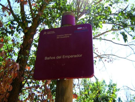
The Stage drifts away from the reservoir, and turns left on the first slip road to “Baños del Emperador” (Emperor’s Baths). The route skirts around the Baños and continues to the CN-401, turning right without crossing the road. It then reaches a fork where it continues left. At the next crossroads, the route continues straight ahead towards the rest area on the Route of Don Quixote, equipped with benches, shade and a nearby restaurant where one can recover.
Stage 7 ends at Peralvillo, a town where one can visit the shrine of San Marcos.
Entidades Gestoras
- Ministerio de Agricultura, Pesca y Alimentación
Enlaces de interés
Profile

Highlights
Further information
Los Baños del Emperador
The “Baños del Emperador” was originally built by the Romans to enjoy medicinal waters in two small stone pools of unexpected bubbling water. The bubbles are gas contained in the spring water, which do not necessarily appear on the surface as they may diffuse into the environment through cracks. This causes CO2 to accumulate in small hollows in the ground. The concentration may be high enough to suffocate and kill animals. Vegetation is also affected by this occasional and massive outflow of gases.
They are also popularly known as "Baños or Hervideros de Trujillo," which is the name of the family that in the second decade of the twentieth century bought the derelict property and brought it back into operation. They also renovated an old farmhouse into a hotel with medical treatments in the baths.


