Net of Natural
Trails

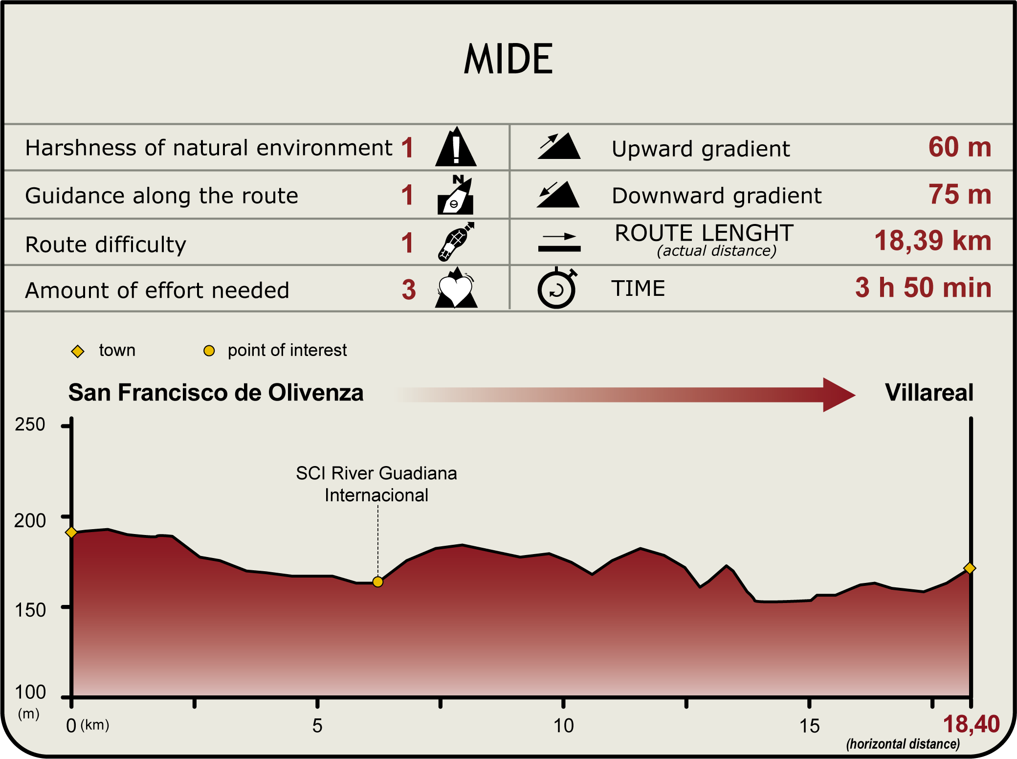
Stage 37: San Francisco de Olivenza - Villarreal
Description
Through frontier lands
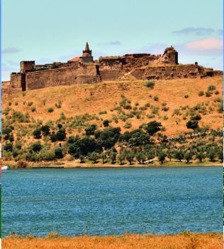
This route, which begins at San Francisco de Olivenza and ends at Villarreal, includes an alternative itinerary leading to the River Guadiana pier, where one can relax and enjoy the cool breeze, admiring the defensive walls of Jurumeña (or Juromenha) in Portugal.
This Stage kicks off at San Francisco de Olivenza, traversing through irrigated lands, where one can see one of many aqueducts that supply irrigation water to these rich farming lands. After about six kilometres, during which the route crosses several conveniently marked intersections, it arrives at the intersection where Sections 36 and 37 come together. The route continues to the left towards Villarreal.

Following the signs on the Trail, the route reaches the intersection with the EX-105. Here it veers right and continues onwards for 1.5 km until it reaches at a sign indicating the road to Villarreal to the left.
Back on the Trail, just a few metres ahead, the route crosses a gate, and then a creek, arriving at an intersection. It continues straight ahead towards another gate, which it also crosses. Further on, it reaches a sign with instructions about the route.
The route ventures through private farms with sunflower fields and free roaming cattle, towards another gate. Past the gate, the landscape changes. The route now traverses through dehesas until it reaches a cattle grid. The Pozo de Pichoto Creek runs just a few meters from the Trail. It must be forded, as there is no bridge or dry crossing available.
If one continues along the main route, there is another gate with a cattle grid. The Trail, which runs almost parallel to the River Guadiana, is now flanked by holm oaks (Quercus ilex) One can enjoy a pleasant walk with spectacular views.
Near Casa del Molino, the path drifts away from the River Guadiana and ventures into farmland and grasslands where sheep graze.
Embarcadero-Villarreal Branch
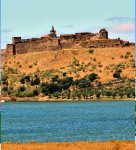
About two kilometres further on, the Trail reaches an intersection where the left path leads to Villarreal, located about 600 m away. The path to the right is a 1.2-kilometre alternative route leading to the pier, which runs along a paved track where peach orchards dominate the landscape. The area is easily accessible and well kept. One can see from here the magnificent defensive walls of Jurumeña on the Portuguese bank.
The banks of the River Guadiana, where this route ends, are part of the “Río Guadiana y Ribera del Chanza” SCI (Site of Community Interest).
Main Route
After the visit to the pier, the main route continues along a paved road leading to Villarreal, a whitewashed village with the Church of Nuestra Señora de la Asunción, its patroness.
Sites of interest
Profile

Highlights
Further information
Villarreal
Historically, the village lay within the parish of Jurumenha, a Portuguese town, and not Olivenza, because it sits on the left bank of the river. The border defined by the Peace Treaty of Badajoz in 1801 annexed this village to Olivenza.
Worthy of note is the parish church of Nuestra Señora de la Asunción. It is a simple, small, whitewashed building, similar to a shrine.


