Net of Natural
Trails

Stage 34: Lobón -Pueblonuevo del Guadiana
Description
A riot of colours
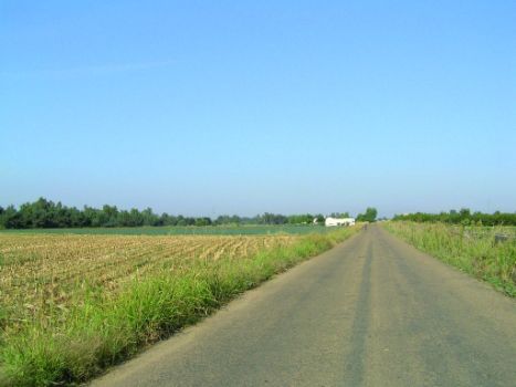
Stage 34 begins at Lobón, with direct access to the A-5 motorway. It runs through the irrigated fields of the lower flood plains along the River Guadiana. The terrain is flat, with open valleys and wide flood plains. The waters are warmer, and the rivers wind in meanders. Biodiversity is the most prominent feature of this stretch of the Trail.
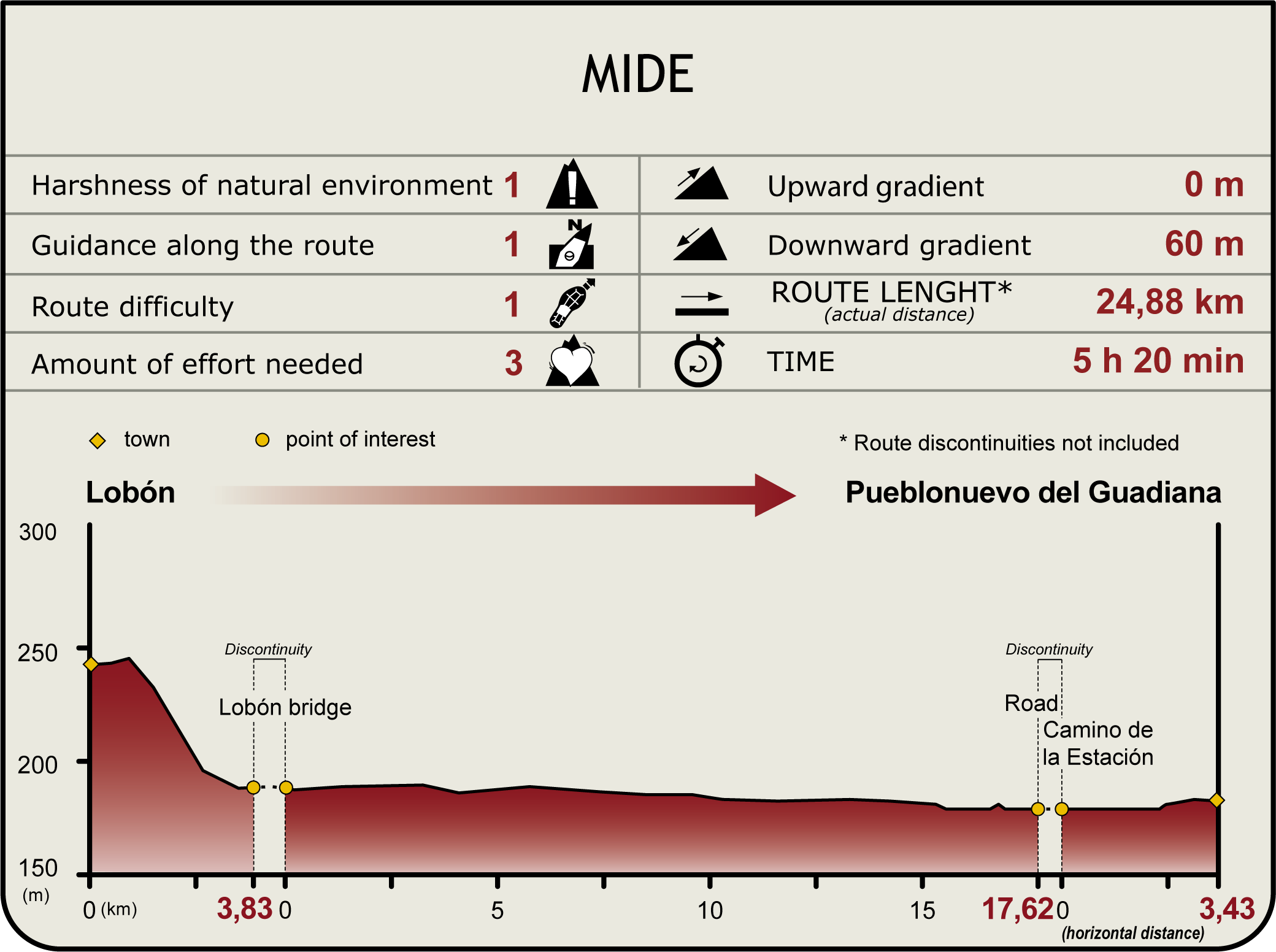
Save for the initial descent, this Stage runs through a flat terrain on dirt and paved tracks with little shade. It leaves Lobón behind, climbing down the Camino del Caracol that passes next to a viewpoint with sweeping views of the Vegas Bajas.

At the next bend, hidden amongst the vegetation, is Bonilla Fountain, which stands out against these barren fields. Sections 33 and 34 share this stretch until Lobón Bridge.
Past the bridge over the River Guadiana, the route continues along a stretch that is not part of the Nature Trail. It then turns left and continues along the BA-5038 for two kilometres, after which, it turns left again onto a track along an irrigation ditch. The route traverses through orchards and irrigated fields until the Isla Baldía Rest Area, a meander that floods when the river rises. One can watch a variety of bird species along the river, and from strategically located observatories.
Its banks are populated with a peculiar vegetation used by birds and otters (Lutra lutra) as habitat. The region’s emblematic bird is the White Stork (Ciconia ciconia).

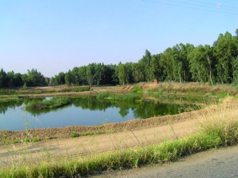
The river runs on flat terrain, with open valleys and wide floodplains. The waters are warmer, and the rivers meander. The greater depth and width of the river, with fine sediments at the bottom, make the waters murkier. Marsh species abound in the calm backwaters, including common reeds (Phragmites australis) and giant reeds (Arundo donax), which provide shelter for birds. Common Coots (Fulica atra), Common Moorhen (Gallinula chloropus) and herons feed on plants, fish and shellfish growing in the river, lagoons and surroundings. The embankments close to the river are ideal breeding sites for European Bee-eaters (Merops apiaster) and Kingfishers (Alcedo atthis) Another local inhabitant is the southwestern water vole (Arvicola sapidus), which feeds on stems and roots, and an occasional small invertebrate. The marks from debarking, at about 20 cm from the ground, indicate the presence of these animals.
The paved track becomes dirt at the site known as Casas de la Barca. The route continues parallel to the river until Charca del Travieso.

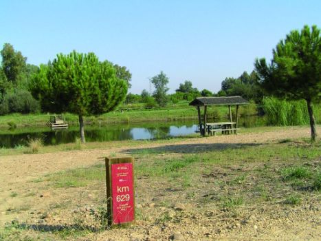
The recreational and leisure area located here, and managed by the Association of Municipalities of the Vegas Bajas del Guadiana, is used by the inhabitants of nearby towns. There are several natural lagoons, connected by canals that can be toured on small rental boats. It also has tables and barbecues, as well as information panels with use and behaviour rules. It is very well maintained, with abundant shade. Bathing is also possible in the summer.
The route skirts around this rest area, and continues towards the road from Badén de Talavera to Pueblonuevo del Guadiana. The Trail is interrupted by the road during 700 m. It then continues along a dirt road that emerges to the right. The route continues parallel to the River Guadiana along its right bank.
The Stage arrives at the stretch to and from Pueblonuevo del Guadiana, shared with the next Stage. Those who choose to continue to Stage 35 towards Badajoz should read the pages below.

Those who wish to rest and finish Stage 34 must continue towards Pueblonuevo. About 10 m further from this sign is an irrigation water pump inside a unique, cylindrical building with an Arab tile roof. The pump is in good condition and still in use. Spring is the season when the traveller can enjoy the trees in full bloom in a true riot of colour.
The Trail continues towards Pueblonuevo del Guadiana through irrigated fields until it reaches an intersection, the Cordel de la Calzada Romana, which suggests the pre-Roman origins of this area.
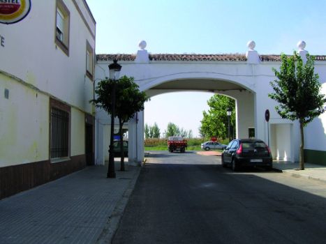
The endpoint is located at Pueblonuevo del Guadiana, a settlement town with a rich history.
Sites of interest
Profile
Highlights
Further information
Pueblonuevo del Guadiana
Founded under the Plan Badajoz, it was officially established in 1956. Initially known as Sarteneja, the name of one of the properties expropriated, it was quickly occupied by settlers, who engaged in intense agricultural activity, mainly tomato and, today, also orchards. The Roman remains of a rural settlement attached to Augusta Emerita(Mérida) have been found here.
The Roman villa of Pesquero, of which the residential Stage has been unearthed, had a peristyle with large polychrome floor mosaics with figures and geometric patterns.
The Roman and Visigoth remains found at Torrebaja farmstead are currently displayed at Badajoz's Provincial Archaeological Museum.


