Net of Natural
Trails

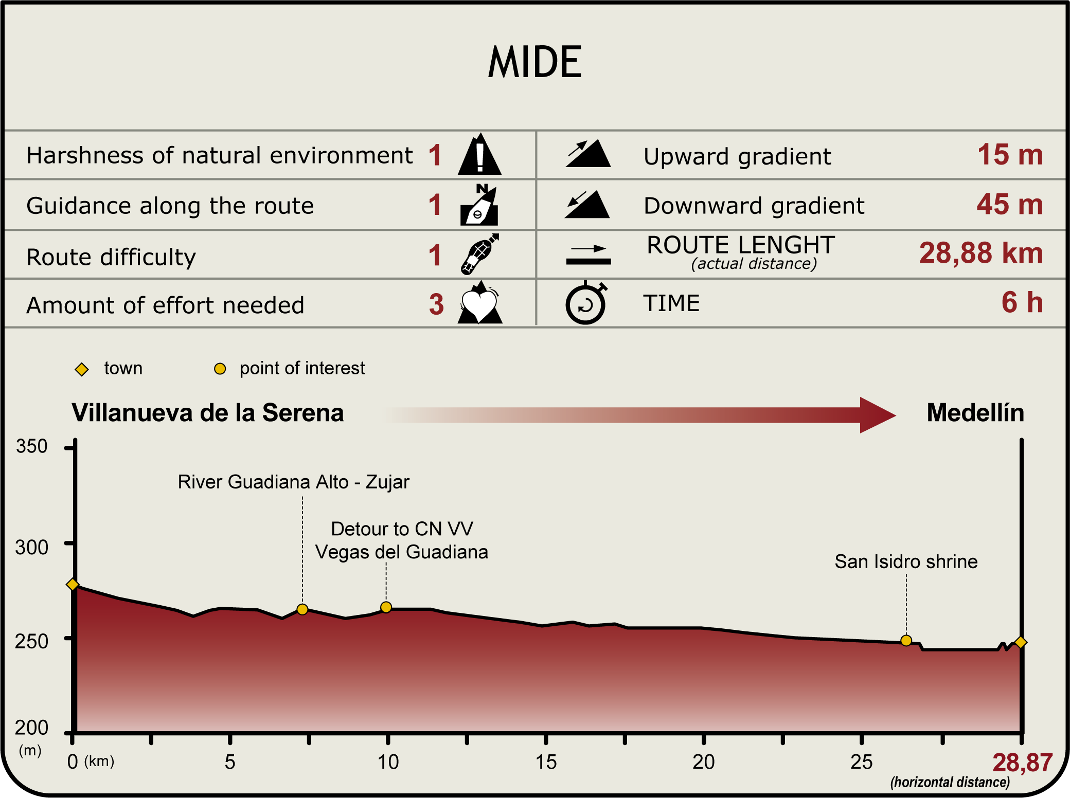
Stage 27: Villanueva de la Serena - Medellín
Description
Through Extremadura's Vegas Altas
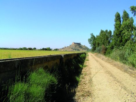
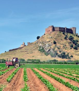
The stage runs through Extremadura's most important economic area, amidst fields of rice and corn, and a network of canals and irrigation ditches.
The route begins at Villanueva de la Serena and ends at Medellín. One can access Medellín's town centre skirting along the south side of the castle.

This stage begins where Section 26 ended, in Villanueva de la Serena, at the rest area on the River Zújar, from where it runs about 600 m. This area is known as the Cordel Serrano de Esparragosa, an urban settlement with detached houses on both sides of the road, a few industrial buildings and a restaurant. The Vegas del Guadiana Green Track Nature Trail also starts in this town.
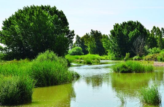
Staying close to the river, the route continues passing under two bridges that cross the River Guadiana, the first of which is unused since traffic was redirected to the Presidente Rodríguez Ibarra bridge (road EX-351). For a short time, the road gains height to arrive to the bridge over the uncompleted Villanueva de la Serena – Talavera de la Reina railway line, at which point it crosses the Vegas del Guadiana Greenway Nature Trail. The road redescends again to the river, and shall run by it until it reaches a vineyard and an aggregate extraction plant, where it turns sharply left and afterwards right to head to El Soto, in the direction of highway EX-A2.

The route crosses under the motorway that links the high plains of the Guadiana with the town of Miajadas, and continues to a signposted intersection with the EX-106. It then continues south, parallel to the road, until it reaches the road to Santa Lucía that emerges from the right.
About 1.8 km further is the church of Don Llorente, named after a nearby former settlement. The settlement was established to better protect the inhabitants from the continual flooding of the River Guadiana. The inhabitants subsequently consented to move to Don Benito, which is located on higher ground.
Along the road to Santa Lucia, amidst irrigation ditches, the path begins to drift away from the River Guadiana, with views of the castle of Medellín in the distance.

The route continues straight ahead until it reaches the EX-206, which it crosses under a clearly marked bridge. At about 200 m from the castle, the route offers two alternatives to access Medellín (from the south or north).
From the north, it runs between the promontory on which the castle stands and the banks of the River Guadiana, where people practice angling. To the left are the ruins of a water mill. It ends at a rest area overlooking the Puente Imperial.
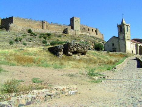
To the south, the path climbs up a gentle slope towards the base of the castle, then climbs down to the new part of town. This route takes the traveller directly to the areas of greatest architectural interest in Medellín.
Sites of interest
Profile
Highlights
Further information
Vegas del Guadiana Green Track - Las Villuercas
The Green Tracks are walking, cycling or horseback routes along old railway lines, which are very accessible and safe. This Green Track starts at the site where Villanueva de la Serena meets Talavera de la Reina. The construction of the railway began in the 1920s, leaving a legacy of tunnels, unfinished track sections, stations and viaducts. The project stalled during the Spanish Civil War and remained unfinished due to the economic and social changes it wrought. It was definitely abandoned in the 1950s. This railroad never saw a train run on it.
The route is currently divided into two sections. The first runs between Villanueva de la Serena and Logrosán, and the second, called Jara Green Track (part of Caminos Naturales Programme), goes from Puerto de San Vicente to Calera y Chozas, interrupted once when it crosses a road.
Geographical Medellín
Medellín sits in the Vegas Altas county, in the south-central part of the Autonomous Community of Extremadura. Founded by the Romans, it was the county seat during the Middle Ages, and birthplace of Hernán Cortés. Despite the ravages of war and time, Medellín preserves a rich architectural heritage, including the medieval castle and the 17th century bridge on the River Guadiana. Irrigated agriculture is the base of its flourishing economy.
The municipality is mostly flat, as it is located in the River Guadiana Valley. The few isolated, low-lying hills that merit mention are Sierra de Enfrente (370 m), Remondo (362 m), and Sierra de Yelbes (392 m); all on the right bank of the river. The hill on which the castle stands is on the left bank of the River Guadiana, which runs east to west across the municipal district. The River Guadiana meanders across this mostly flat terrain, splitting into various channels, including the River Guadámez, Charco del Ciervo and Turuñuelo. The River Ortiga, on the left bank, and the River Cagánchez, on the right, complete the river network.


