Net of Natural
Trails

Stage 12: Los Pozuelos de Calatrava - Luciana
Description
From Campo de Calatrava to Cabañeros
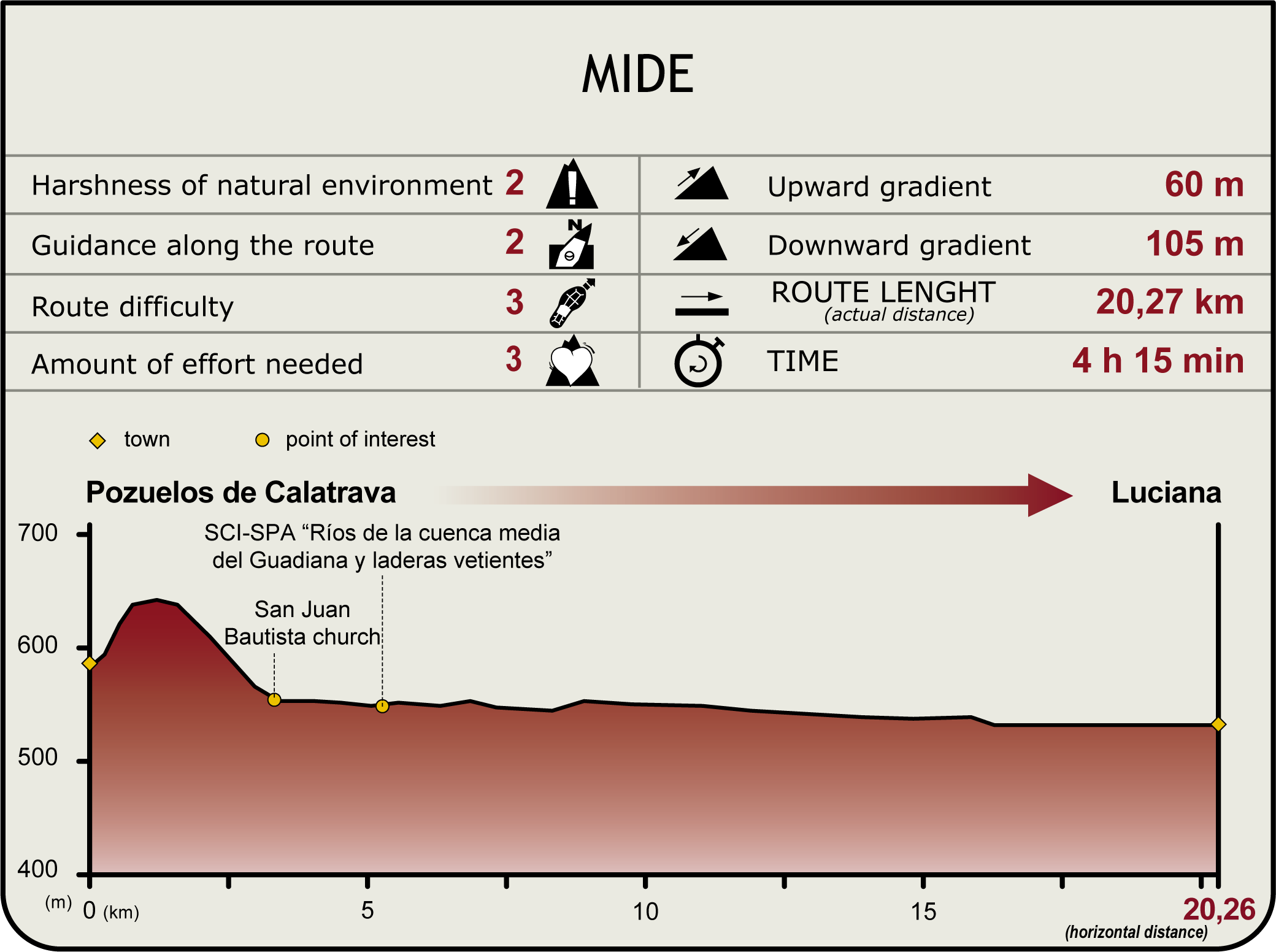
This Stage heads along the Cañada Real Soriana to the River Guadiana, traversing through Campo de Calatrava Plain and the part of Los Montes County. After crossing Puente de las Ovejas, the route runs through farmland and livestock pastures to Luciana, bringing peace to the traveller’s spirit.

This Stage starts at Los Pozuelos de Calatrava. The route runs along the Cañada Real Soriana, a cattle track that leads to the intersection with Stage 11, to the River Guadiana, from where it ventures north, drifting away from the river.
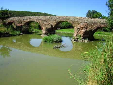
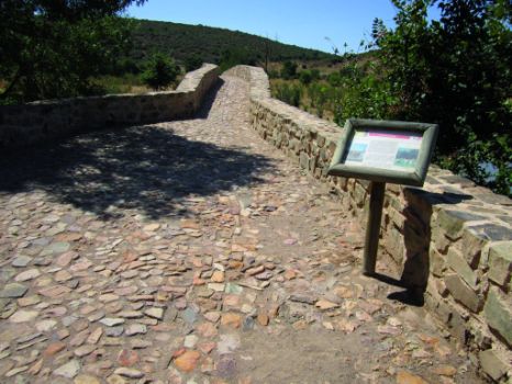
The Stage initially runs along the Cañada Real until it crosses a bridge over the river to continue along the right bank of the Guadiana. The Puente de las Ovejas, recently restored, is a valuable cultural heritage. There are rest areas with benches on both sides of the bridge. Information panels identify the main natural values of the surrounding area. There are large ashes (Fraxinus angustifolia) with thick trunks that provide shade in these rest areas. The water under the bridge flows very slowly, sometimes creating the impression that it has come to a standstill.

One must not forget that, like in the previous Stage, much of Stage 12 traverses through the “Ríos de la cuenca media del Guadiana y laderas vertientes” SCI (Site of Community Importance) and SPA (Special Protection Area for Birds). It should also be noted that the Trail crosses two small bridges over two creeks. The first is a single arch bridge, whereas the second has three arches. Indeed, they are part of the first two sections of Puente de las Ovejas.
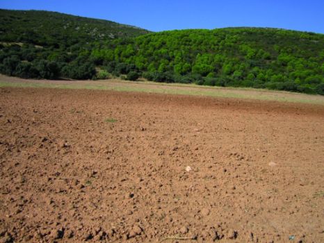
Once on the right bank of the river, along which the remainder of the Stage runs, the Trail veers west, moving away from the cattle track onto a dirt road. It gradually drifts away from the river, running always along the edge of the flood plain. There is farmland to the left of the Trail, along the river, and livestock farms, with a few scattered dehesas and pastures, to the right.

Parallel to the river, the road crosses the CR-P-4171 on the opposite side of the bridge over the Guadiana. It continues along the opposite side of the road, increasingly moving farther away from the river until it abandons the flood plain.
The small mountain ranges that flank both riverbanks narrow the valley. The wooded slopes of Sierra de Ginés, thick with stone pine (Pinus pinea) trees and holm oaks (Quercus ilex), bring colour to the landscape as they alternate with scrubland at the foot of the slope.
Further on, the Trail passes through Sierra de Valpérez, where the pine trees disappear from a landscape completely dominated by holm oaks and scrub. Rain-fed crops cover the valley floor, and livestock farms also disappear. About three kilometres from Luciana, the Trail runs along a path leading to a ford on the Guadiana, used by sheep, cattle and ATVs. This is a great opportunity to walk down to the river and watch it flow through riparian vegetation.

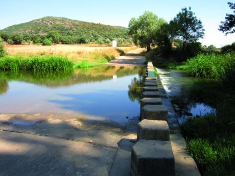
The Stage reaches the next crossroads, next to Comendador Mill. It continues towards Luciana and crosses the River Bullaque, near its confluence with the Guadiana, via a ford with a pedestrian footbridge, thus avoiding getting the feet wet. There is a very large rest area on the opposite side with many wooden tables and benches, toilets, car park, waste bins and a waste collection centre. It even has a building to hold small indoor events and meetings sheltered from the rain. The woods, which are a mix of pine trees and elms (Ulmus sp.) provide abundant shade.
The route continues north, ending in a playground on the outskirts of Luciana. The town has a linear structure along the N-430.
Sites of interest
Profile
Highlights
Further information
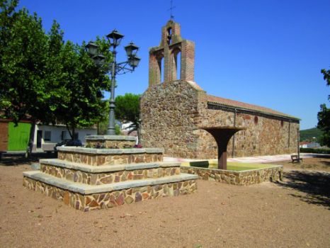
Shrine of Virgen Nuestra Señora del Rosario
This rectangular shrine has a gabled roof and two-stage steeple; the first with two arches and the second topped with a bell. It has a side entrance. It is built using local masonry materials, primarily quartzite.


