Net of Natural
Trails

Stage 15: Sant Tomàs – Son Bou
Description
Dune vegetation in the centre of the south coast of Menorca
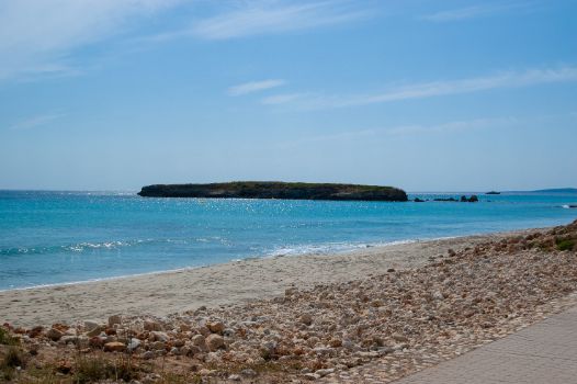
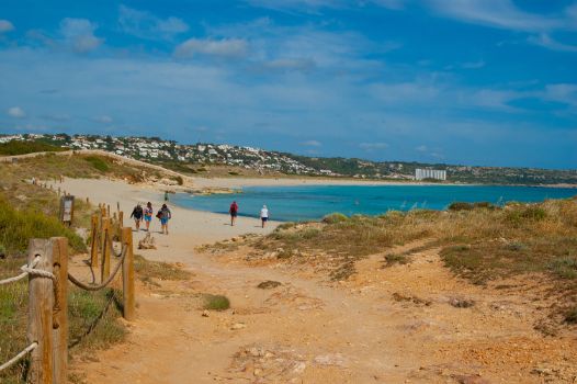
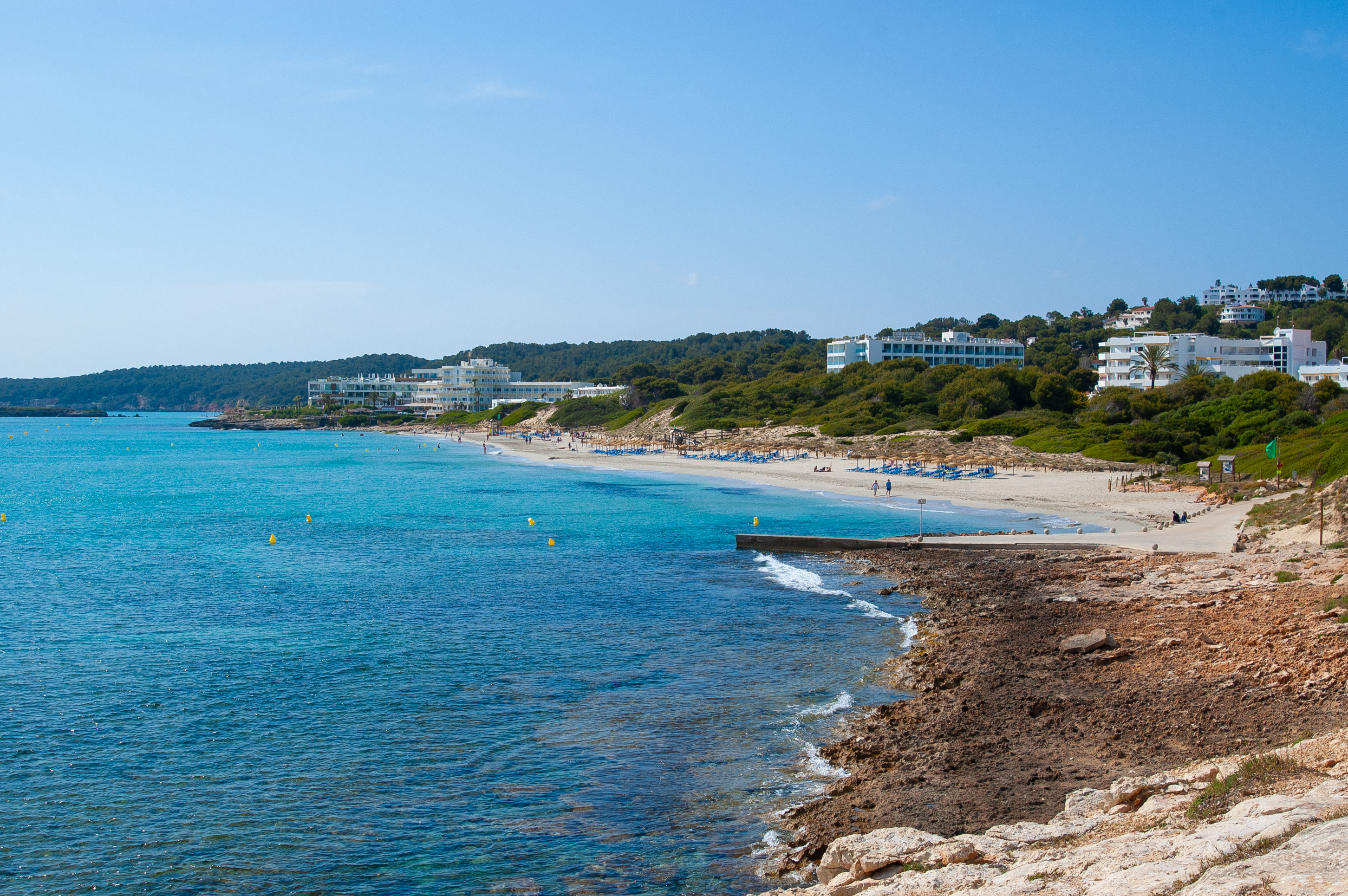
This is a short stage through the central area of the south coast of Menorca, which allows you to stroll and enjoy two urbanised beach areas: Sant Tomàs and Son Bou. It also it hides places rich in biodiversity, such as Prat de Son Bou, included in the Son Bou i barranc de sa Vall SIC , and beaches with a very high natural value, such as Talis beach, with a very rich dune vegetation.

Just 6.5 km separate the start and finish of this stage, which begins at the western end of the promenade of the Santo Tomás beach, next to the Nature Trail information board. The beach is on the right and the residential area of Sant Tomàs on the left.
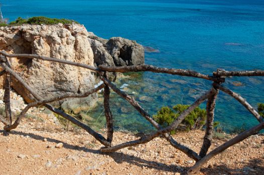
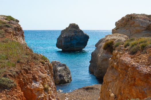
This pleasant walk along the central part of the south coast of Menorca allows you to leisurely enjoy the coastal landscape in all its glory, to enjoy its beaches as they deserve, and to admire good examples of dunar vegetation.
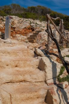
After a zigzagging route to the right and left that is perfectly signposted, the Camí de Cavalls Nature Trail leaves the residential area of Sant Tomàs for good, and at the same time gets even closer to the beach, advancing through a more rugged area where you will have to overcome different steps carved into the rock.

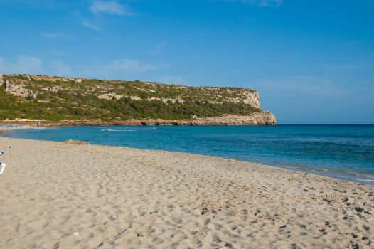
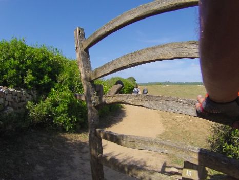
On crossing a Menorcan gate, the traveller leaves behind a small patch of Aleppo pines (Pinus halepensis), whose specimens are perfectly adapted to coastal conditions, which give way to traditional dryland crops with scattered clumps of natural vegetation. Shortly afterwards, the hiker reaches the western end of Talis beach. This is an obligatory stop: together with the neighbouring beaches of Son Bou, this environment is totally devoid of human constructions and included in the Site of Community Importance (SCI) Son Bou i barranc de sa Vall. This area is home to an enormous diversity of coastal habitats, and is a breeding ground for many species.
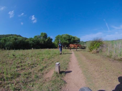
Back on the route of the Camí de Cavalls Nature Trail, the itinerary momentarily moves away from the coast, advancing alongside the wetland known as Prat de Son Bou, which collects the waters of the Torrent de Son Boter at the end of its route through the sa Vall ravine.

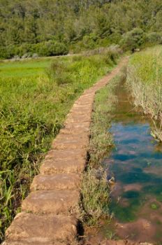
Once you have crossed another Menorcan gate, you have to go through the marshes using a passage formed by a series of rectangular-shaped carved stones arranged in a row that allow you to cross the marshes easily while enjoying the views.
After crossing the wetland, turn right following the corresponding Nature Trail signs. The road becomes wider and its surface quality improves: this indicates that you are near your final destination in this stage, Son Bou.
Without further ado, you reach the town of Son Bou, where a lectern-type information board of Nature Trails indicates the tracing of the urban section of the trail to the end of this fifteenth stage. Whether you are a hiker or a cycler, please be sure to respect the traffic signs applying to you. Follow the town streets until you reach the car park at the eastern end of the Passeig Maritim, and shortly after passing it and being on the road leading out of Son Bou, you will see the information board that marks the end of the fifteenth stage of the Camí de Cavalls Nature Trail.
Links of interest
Profile
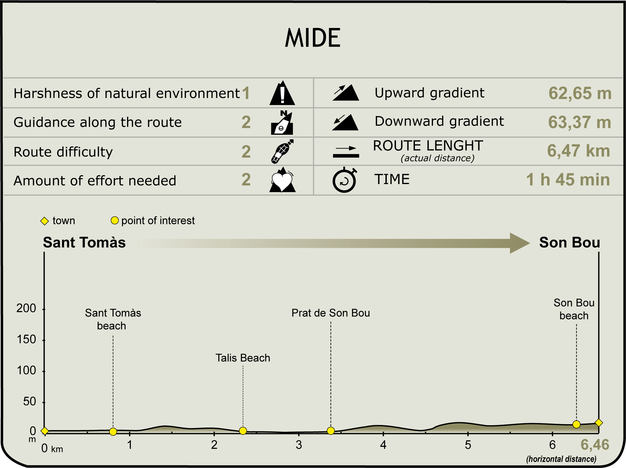
(Calculated according to the MIDE criteria for an average excursionist with a light load)
Highlights
Early Christian Basilica of Son Bou
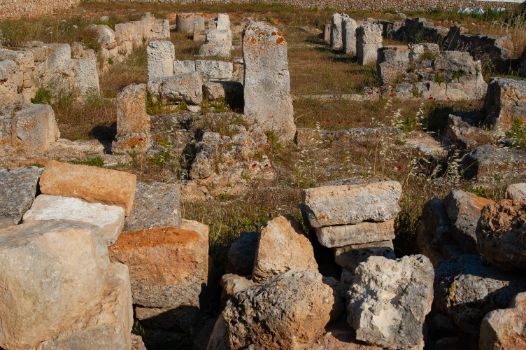
The remains of this early Christian basilica, built during the 5th century, are located at the eastern end of Son Bou beach.
It faces south-east and consists of a rectangular plan with three naves separated by pillars, a tripartite chevet and a small vestibule, the narthex, a place from which the unbaptised could participate in the liturgies. The baptismal font, carved in the form of a cylindrical monolith on the outside and in the shape of a cross on the inside - an unusual design in Menorcan basilicas - must originally have been at the foot, but it is currently preserved in the left compartment of the chevet, on the north side. The basilica’s pavement is made in mortar. The enclosure, delimited by a trapezoidal wall, is completed by some very simple tombs and other constructions related to religious use.
There is evidence of the presence of development of Christian communities on the island since 5th century, thanks to the letter of Bishop Severus and the correspondence of Conscenci. The intense religious activity in Menorca, at least since the 6th century, is evidenced by the discovery of a total of six early Christian basilicas: Son Bou; Fornás de Torelló, Illa del Rei and Illa d'en Colom in Maó; Sanitja, in Es Mercadal; and Cap des Port, in Fornells.
In the 18th century, a fire destroyed the complex, but the site can still be visited today.
Talaiotic settlement Torre d'en Galmés
This is the best-preserved Talaiotic settlement in Menorca and one of the largest in the Balearic Islands. This settlement belongs to the late Talaiotic period, between the 5th and the 1st centuries BC. It includes a wall that, according to the studies carried out, surrounded and protected the settlement.
The iconic construction of these settlements and the one that gives its name to this culture are the talaiots, constructions in the shape of a primitive tower, normally with a circular ground-plan, used as watchtower for defensive powers, although it is not certain that this was its only function. Torre d'en Galmés has three talaiots.
From this location, the central area of the south coast of the island can be seen, so the location of the settlement was not accidental. Agriculture and livestock farming activities where carried out in the immediate surroundings of the settlement, and we know that its inhabitants also had some astronomical knowledge, as shown by the fact that all doors and dwelling are south-facing to avoid the north wind, and that they held ceremonies and celebrations worshipping different gods.


