
Puntos de Interés

Hydrography
River Llobregat
The River Llobregat rises in the Sierra del Cadí, in the municipality of Castellar de Nuch, and flows into the sea at the town of El Prat de Llobregat after a course of 175 kilometres, having been fed by more than twenty tributaries.
With an average flow of 19 m³/s and a catchment area covering almost 5,000 km², this river supplies water to more than thirty municipalities, including Cornellá de Llobregat, Manresa and Martorell, and feeds the Baells reservoir. More than a hundred treatment plants also treat over 179 hm³ per year.
Over the centuries, its presence has underpinned agricultural, livestock, textile and commercial activity – all of which are of particular importance to the area – as well as the local energy supply.
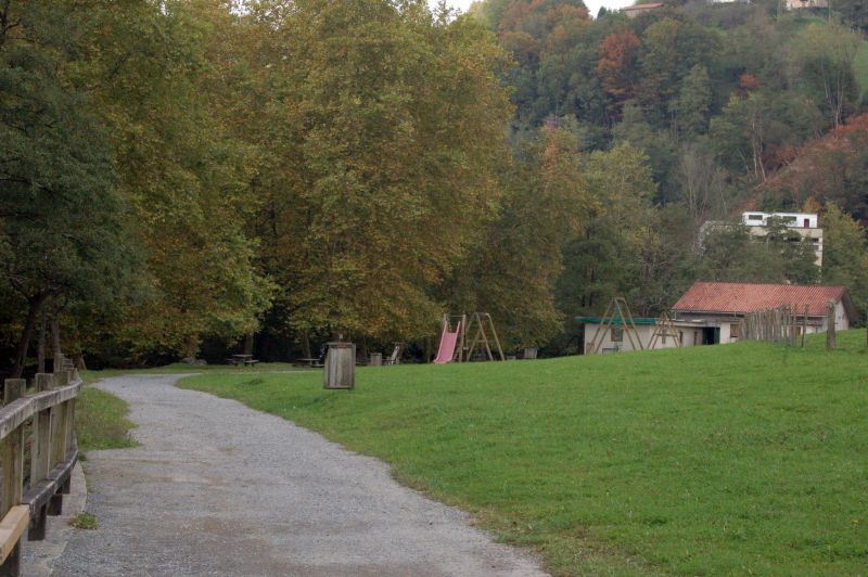
The River Llobregat Protected Natural Area lies within the municipalities of Esparreguera, Olesa de Montserrat and Abrera, where features linked to the river’s use – such as mills, dams, holiday camps and textile factories – are common; there are more than thirty such sites along its course. This area is also home to some interesting bird species, such as the mallard, the grey heron, the kingfisher and the golden oriole, as well as otters.
Along its 157 kilometres, poplars, maples, cherry trees, cypresses, holm oaks, junipers and ash trees are a common sight, along with some twenty species of orchid. The surrounding area is home to foxes, hedgehogs, wild boars, flamingos, egrets and peregrine falcons, while its waters are home to European eels, carp, sea bass, perch and trout.