Net of Natural
Trails

Stage: Cidad Dosante Station - Medina de Pomar
Description
Back and forth with the river Nela in Las Merindades.
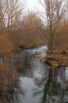
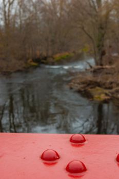
Long stage of almost 29 km between the old stations of Cidad-Dosante and Medina de Pomar that runs through the north of the province of Burgos, descending along the river Nela. A river course that will be crossed over on railway viaducts in perfect condition, not once, not twice, but on a total of ten occasions. As well as its railway-related past, this route exudes history in every village it visits, in addition to the beauty of its streets and beautiful surroundings. An outstanding example of this is Puentedey, considered one of the most beautiful villages in Spain.

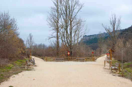
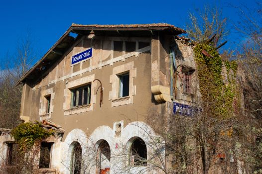
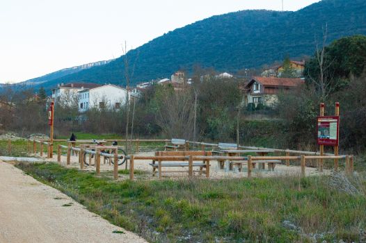
The stage begins at the rest area located next to the old Cidad-Dosante station, so called because it is located between these two small towns in Burgos, one on each side of the railway line. The beginning of the stage is located in a railway hub, as the old Bilbao-La Robla mining railway, opened at the end of the 19th century to supply coal to the powerful Basque steel industry from the mining areas of Palencia and León, also passes through this area. This infrastructure is currently in operation, after being reopened and reconverted for passenger transport, forming part of the Ferrocarriles Españoles de Vía Estrecha (Spanish Narrow Gauge Railway).

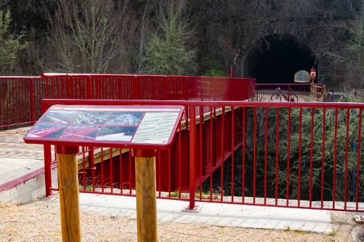
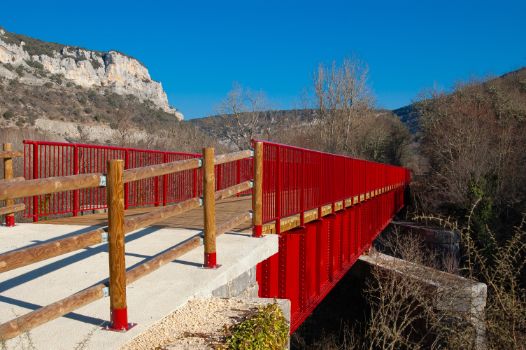
The route sets off leaving the aforementioned railway behind, arriving at the first of the ten viaducts that cross the river Nela along the stage. Here, the old railway bridge is 111 m long and an information board provided details on the renovation that was necessary to make it possible to use it today. After the viaduct, there is a 211 m tunnel, completely straight, which will delight cyclists, who are advised to carry a torch.
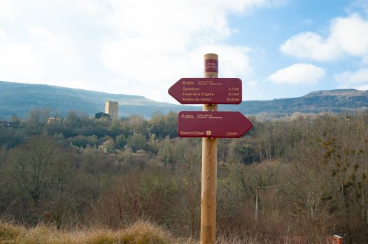
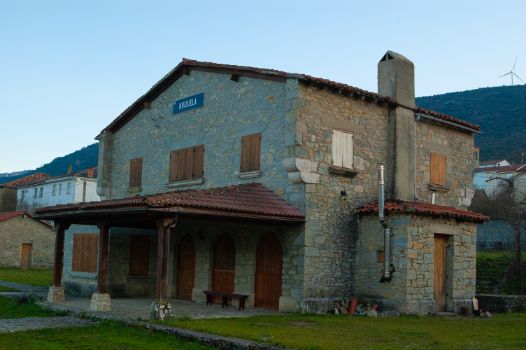
The route descends slightly, taking in the escarpments and the beauty of the surroundings. Cross the BU-526 road that leads to Santelices, taking extra care, and shortly afterwards you will come to the town’s old station. This well-preserved building is currently used as a dwelling. A few metres after kilometre marker 2 of the stage, you will find the Santelices-La Engaña Rest Area, the starting point of the section of the Santander-Mediterranean Nature Trail that leads to the famous La Engaña Tunnel (which is closed to the public and cannot be visited).

The route continues for a further kilometre and at the next crossroads, the nearby San Martín de las Ollas is signposted, a small village belonging to the Merindad de Valdeporres, with its Romanesque church of San Vicente Mártir.
Shortly afterwards, although perhaps unnoticed by the traveller, the route rises more than ten metres above the BU-561 road, thanks to a limestone wall built mostly by prisoners of the Spanish Civil War, just like the kilometre-long La Engaña tunnel.

Continuing the journey, the village of Quintanabaldo can be seen on the left, and shortly afterwards, after the old gatekeeper's hut, now in ruins, you will cross the BU-561 road. At this point, extreme caution is recommended. Metres before, and at the same kilometre marker 7, two viaducts over the River Nela, 39 and 63 m long respectively, are crossed.
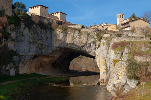
After another kilometre it is time to cross a new viaduct, 45 m long, which leads to the San Andrés viewpoint. This enclave offers a spectacular panoramic view of Puentedey where, without a doubt, the iconic feature is its rock arch shaped by nature over millions of years, allowing the passage of the river Nela towards the river Ebro. Above this natural wonder stands the no less impressive village of Puentedey, where a visit to the church of San Pelayo and the tower-palace of the Brizuela family is a must.

Next to this marvel of nature, there are different railway elements that cross the town, including a 94-metre-long tunnel and the 32-metre-long viaduct over the River Nela. Between the two is a rest area with an information board that reveals some of the town's secrets. It is well worth stopping here to enjoy Puentedey, one of the most beautiful villages in Spain, as it deserves to be enjoyed.
After Puentedey, a long straight stretch leads the cyclist to the nearby village of Brizuela, passing in front of its old station, which is in a perfect preserved. In this area you can also visit the church of San Cristóbal Mártir and the hermitage of San Cristóbal. The kilometres continue until, metres before kilometre marker 14, you will cross a viaduct over the river Nela before coming to the old Escaño stop, currently in a state of disrepair, and which lies close to the town of the same name.

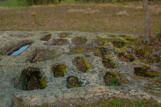
The next viaduct over the river Nela, after passing the 15th kilometre of the stage, takes the traveller very close to the small village of Escanduso, which stands out for its Romanesque church of San Andrés, considered one of the smallest of this artistic-constructive style. Further on, the village of Tubilla on the right is left behind to reach, at kilometre marker 18, the hamlet of Cigüenza, which in addition to its church of San Lorenzo and its Via Ferrata, has the Necropolis of San Andrés, a complex with more than 35 anthropomorphic tombs dating from the early Middle Ages (8th-9th centuries).

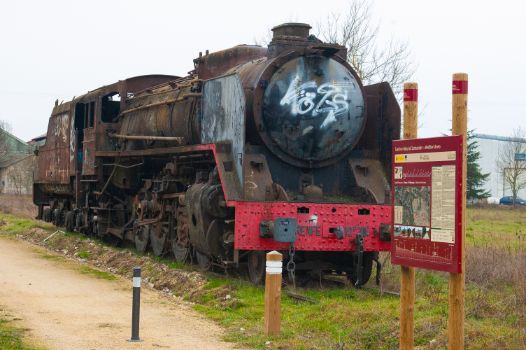
At this point the orography of the landscape becomes smoother, and farmland becomes increasingly abundant, reaching the old Horna-Villarcayo station after kilometre point 20. These facilities were of great importance for the railway line, with workshops, a locomotive depot, a turntable and a large track yard, most of which are still in use today. Nowadays, a rest area allows visitors to contemplate the present and immerse themselves in the past of this railway environment, thanks also to the RENFE 141F-2401 Mikado locomotive that can be found there.

You will come across a guardhouse and other small railway constructions before crossing of the CL-629 road, where extreme care should be taken. Before continuing the journey, the town of Villarcayo is well worth a visit, with its main square and town hall, built in 1891, its three historic archives and its collection of stately mansions, which contrast with its modern parish church of Santa Marina.
Returning to the route, the traveller bids farewell to Villarcayo through farmland, with Santa Cruz de Andino on the left, at the 22nd kilometre of the stage, and the ruins of the Romanesque church of Andino on the right.

It is time to face the final part of the stage, and leaving the town of Villarias on the left, you will cross the last viaduct over the river Nela, 42 m long in this case, before reaching the guardhouse, in a state of ruin, and kilometre point 27. The cyclist can already make out the town that marks the end of this stage, Medina de Pomar, where you must not leave without enjoying its main square, presided over by the town hall, the Alcázar de los Condestables, the Torre de Návagos and the Monastery of Santa Clara, the last three of which are listed as Sites of Cultural Interest.
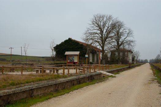
After passing the last kilometre point, 28, extreme care must be taken to cross the BU-V-5601 road and, behind it, there is a rest area and an interpretative panel that marks the end of this stage, next to the old station of Medina de Pomar.
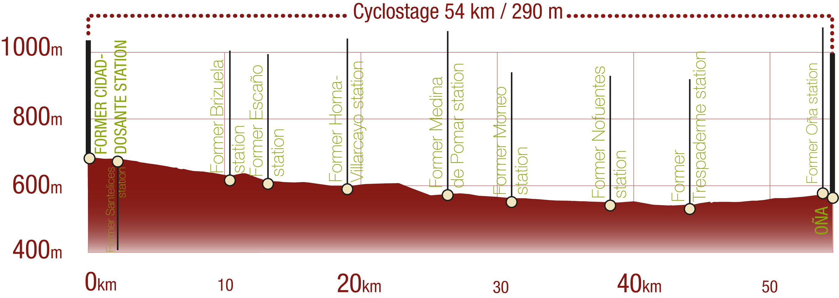
Profile
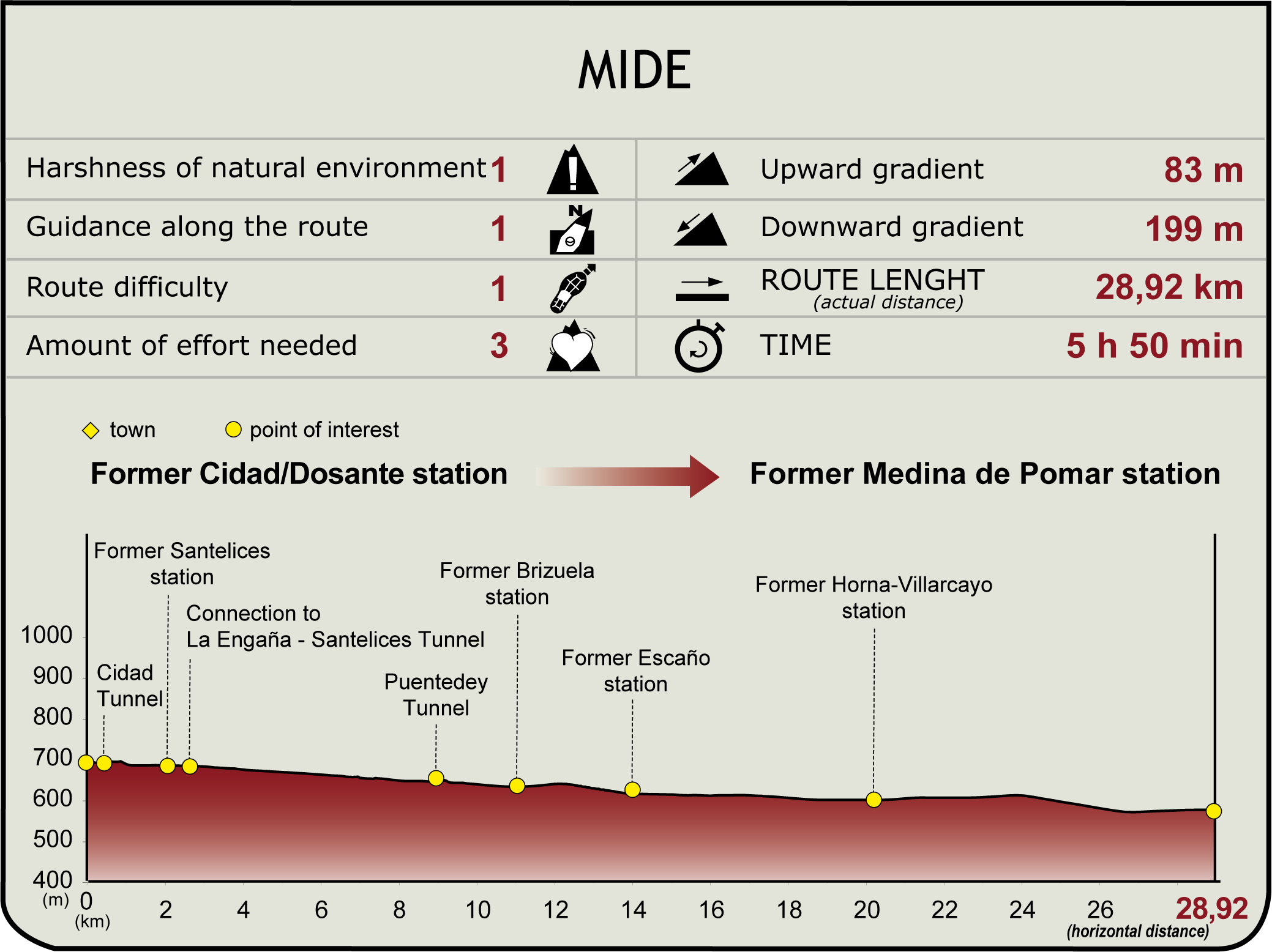
(Calculated according to the MIDE criteria for an average excursionist with a light load)
Highlights
Further information
Merindad de Valdeporres
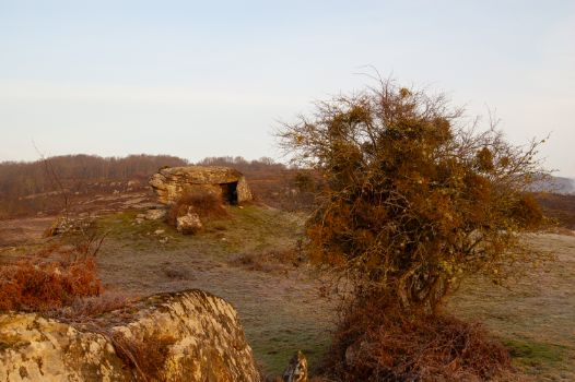
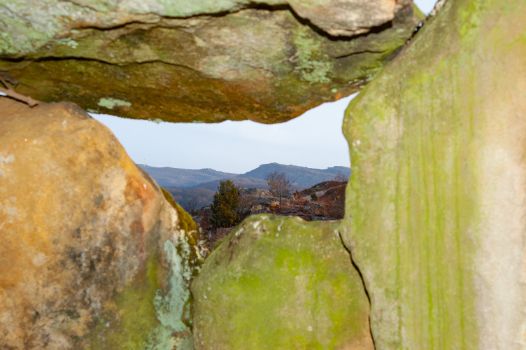
This municipality in the north of Burgos groups together several localities, including Dosante, Cidad de Valdeporres, Santelices, San Martín de las Ollas, Quintanabaldo, Puentedey and Brizuela. It is an area that has been populated since prehistoric times, as can be seen from constructions that have survived to the present day, such as the Busnela Dolmen. A frontier territory that witnessed numerous conflicts, it was under King Alfonso I and the enormous expansion of Castile that the territories were subdivided into governmental units known as merindades. This system was in force until the 19th century.
Nela River
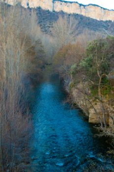
River belonging to the Ebro River Basin, of which it is a tributary. It is 75 km long and runs entirely through the province of Burgos. It rises in the Merindad de Valdeporres, specifically in the Montes de Somo and flows into the river Ebro in the vicinity of Trespaderne. Its most important tributaries are the river Torriente on the right and the rivers Engaña and Trueba on the left. Its waters supply the regions through which it flows and its basin is located within the SCI (Site of Community Importance) Riberas del río Nela and tributaries, with the presence of otters (Lutra lutra), madrilla fish (Chondrostoma miegii) and kingfishers (Alcedo atthis), standing out among others.
Multimedia
Downloads
GPS Downloads
Documents
Cyclability
CYCLABILITY
This Cyclostage corresponds to stage Cidad Dosante Station - Medina de Pomar of and stage Medina de Pomar - Oña of the Nature Trail
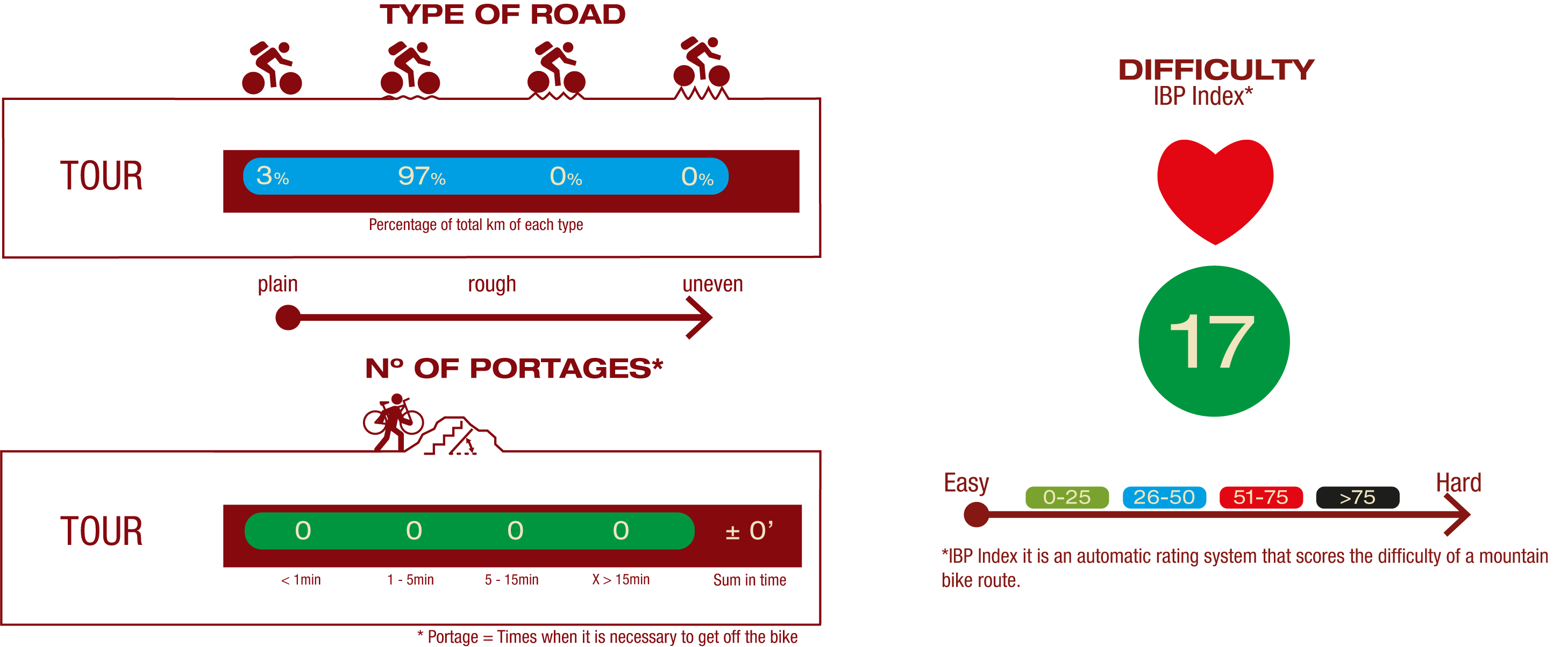
TYPE OF ROADS, PORTAGES & DIFFICULTY
GENERAL RECOMMENDATIONS
- Find out about the technical aspects of the route and the weather on the day.
- Take care of the environment. Take care not to disturb animals or damage vegetation. Respect private areas.
- You must give priority to pedestrians and comply with general traffic rules.
- The environment in which you will be riding is open, free to move around and an area where many activities are carried out (sporting, forestry, livestock and agricultural activities).
- Always have an understanding, prudent, responsible and respectful attitude.


