Net of Natural
Trails

Stage 9: Los Melendreros - Entralgo
Description
Towards the Nalón River Valley through Peñamayor
The Nature Trail runs south, linking counties Bimenes and Laviana, via Sierra de Peñamayor, which stands like a huge limestone partition wall between the two counties. Through beech and holly woodlands, meadows and huts, the route winds along the road that links Los Melendreros with Nalón River Valley.

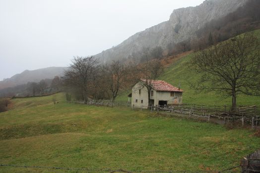
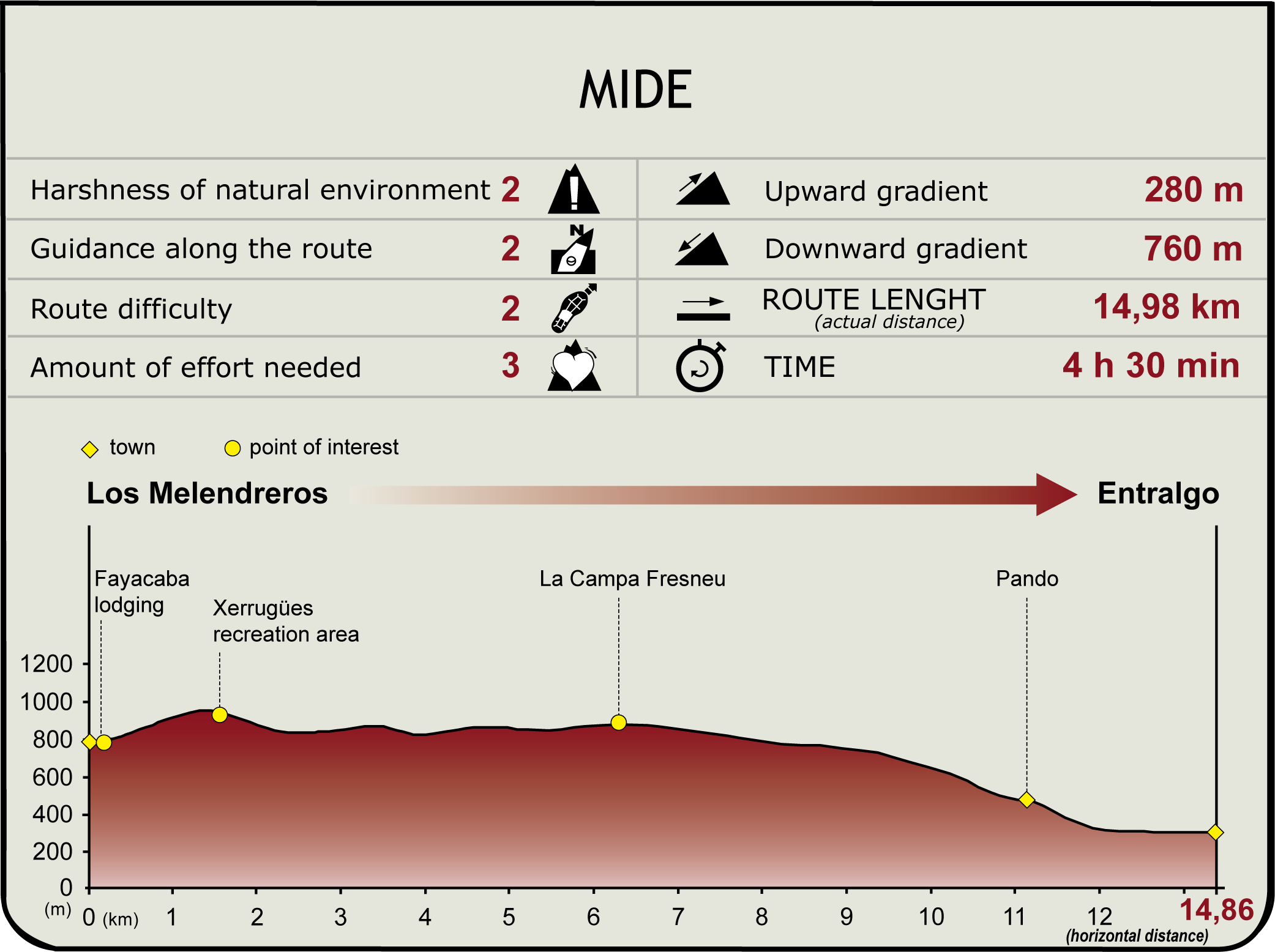
This stage begins in Los Melendreros, in County Bimenes, and descends southwest, passing near the west side of Sierra de Peñamayor, towards County Laviana in the Nalón River Valley. The first stretch of this route climbs through pastures and huts, with Peñamayor Ridge to the left, to arrive at Campa Fresneo.
This section begins at the edge of Los Melendreros, where the start-end panel can be found next to Fuente de la Pipa. From here, it climbs through huts and pastures lined by hazel (Corylus avellana), hawthorn (Crataegus monogyna) and birch (Betula pendula) woodlands.
Further on, the route reaches Fayacaba Lodge, where it intersects Section 8 that comes from the other side of Sierra de Peñamayor. To the right of the route is Rozaes River Valley (County Bimenes), and to the left Los Melendreros. Soon after, the path skirts around Zerru Gües recreation area, past a beech (Fagus sylvatica) and holly (Ilex aquifolium) forest, and continues through meadows and huts to Campa Fresneo.

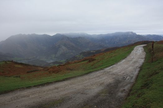
In County Laviana, the last stretch of this section descends from Campa Fresneo to Entralgo, along the River Nalón. The route first heads down a dirt track, leaving behind Sierra de Peñamayor and Campa Fresneo. The Nature Trail continues in a steep descent during quite a while, alternating between concrete and dirt roads. The route finally arrives at Pando and heads down a small path to Puente de Arco. Attention should be paid to the directional signs in Pando.
The route winds through the village “caleyas” (streets) amongst the houses, always taking the steeper downhill road. It then passes through an impressive chestnut grove along a paved concrete road.

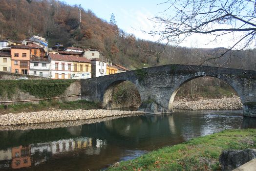
At Puente de Arco, a typical low medieval arched bridge (13th-14th centuries) can be found over the River Nalón. The bridge leads to the old Roman road that ran from Tarna, down into the valley, to the centre of Asturias.
Nearby stands a chapel where the governors of Laviana traditionally took office.
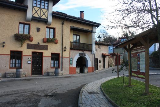
After crossing the bridge, the path continues downstream along the River Nalón until it turns onto a road to the left. Soon after, the route arrives at Entralgo, where the end panel is situated on the roadside. There is also an information panel on the Cuencas Mineras Protected Landscape.
Sites of interest
Puntos de interés
Culture
Hydrography
Information
Municipality
Hostel
Profile
Highlights
Further information
Sierra de Peñamayor
Sierra de Peñamayor spans counties Piloña, Bimenes, Nava and Laviana. The area, so named after Pico de Peñamayor (1,140 m), is visible from much of central Asturias due to its extension. The River Piloña rises on its slopes.
Peñamayor also includes other peaks, such as El Texu, La Camporra and Varallonga, with the highest peak being Pico de El Triguero (1,293 m), from where it commands sweeping views of the entire ridge, the mountain ranges of Cuera, Sueve and Aram, the Ponga and Piloña ridges, the Picos de Europa, Ubiña and other hinterland summits.
The main forest cover is the “carbayera” or oak (Quercus robur), together with holly and hawthorn patches that populate the foothills, especially in the east. Horses, cows, sheep and goats graze in the highlands. Other areas are populated by heath (Erica sp.), and ferns, as well as meadows. A large variety of mammal and bird species can be found, including the common buzzard (Buteo buteo), Eurasian crag martin (Ptyonoprogne rupestris) and red-billed chough (Pyrrhocorax graculus).
A path runs from Los Melendreros through meadows and huts, leading to the hamlet of La Muda, in Fayacaba, a beautiful place with a mountain lodge and a fountain. The road forks at this point. Straight ahead, the path arrives at Campagües summer pastures and to the contiguous meadow of Pasaoriu, leaving Peñamayor Ridge to the left. Past these grazing lands, the route arrives at the mountain pass of Llagos, and heads along the hill to the top of El Triguero, through a lush meadow studded with yews (Taxus baccata), hawthorns and Aleppo pine (Pinus halepensis Mill). After venturing into County Laviana, the path passes next to Pozo Funeres, a place visited by many people due to the historical events that took place here.
Following the Civil War, a tragedy occurred in this county. A plaque at Pozu Funeres commemorates one of the more painful events that occurred here in 1948.


