


Net of Nature
Trails

River Oja Greenway Nature Trail







Description
The railway that followed the River Oja
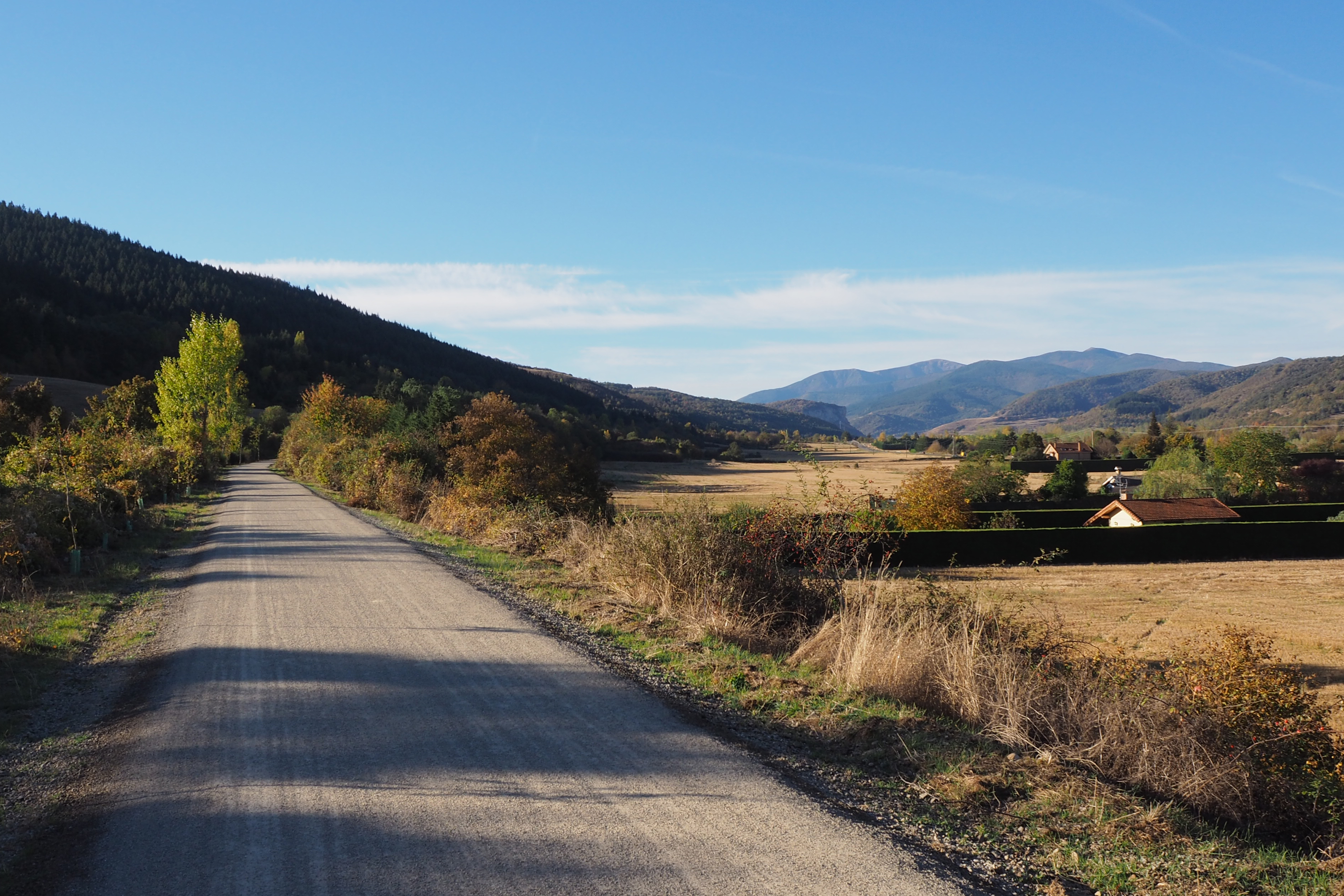
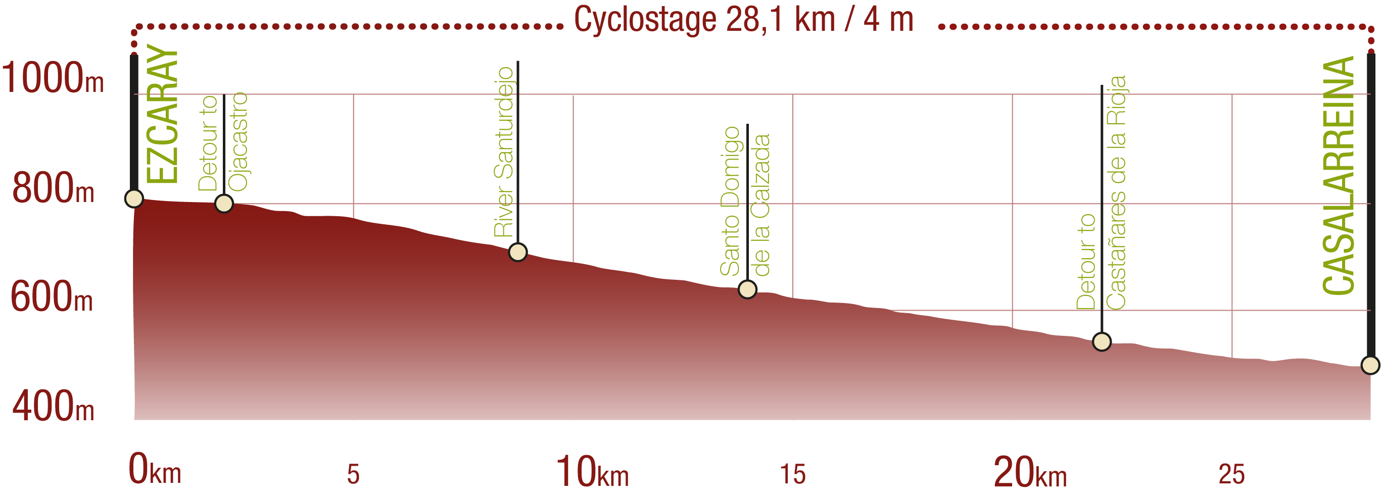
Much of the route of the Oja Greenway Nature Trail follows the old narrow-gauge railway line that once connected Haro and Ezcaray. This train, which was in service between 1916 and 1969, served as an important connection for the villages of the valley for decades. Today there are hardly any visible remains of that railway past, but its route continues to be used by walkers and cyclists who follow the course of the river Oja - or Glera, as it is also known - a faithful companion of the railway on the left hand side on its descent towards the River Tirón. The gentle terrain and constant downhill gradient make this nature trail a comfortable and pleasant route.
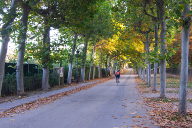
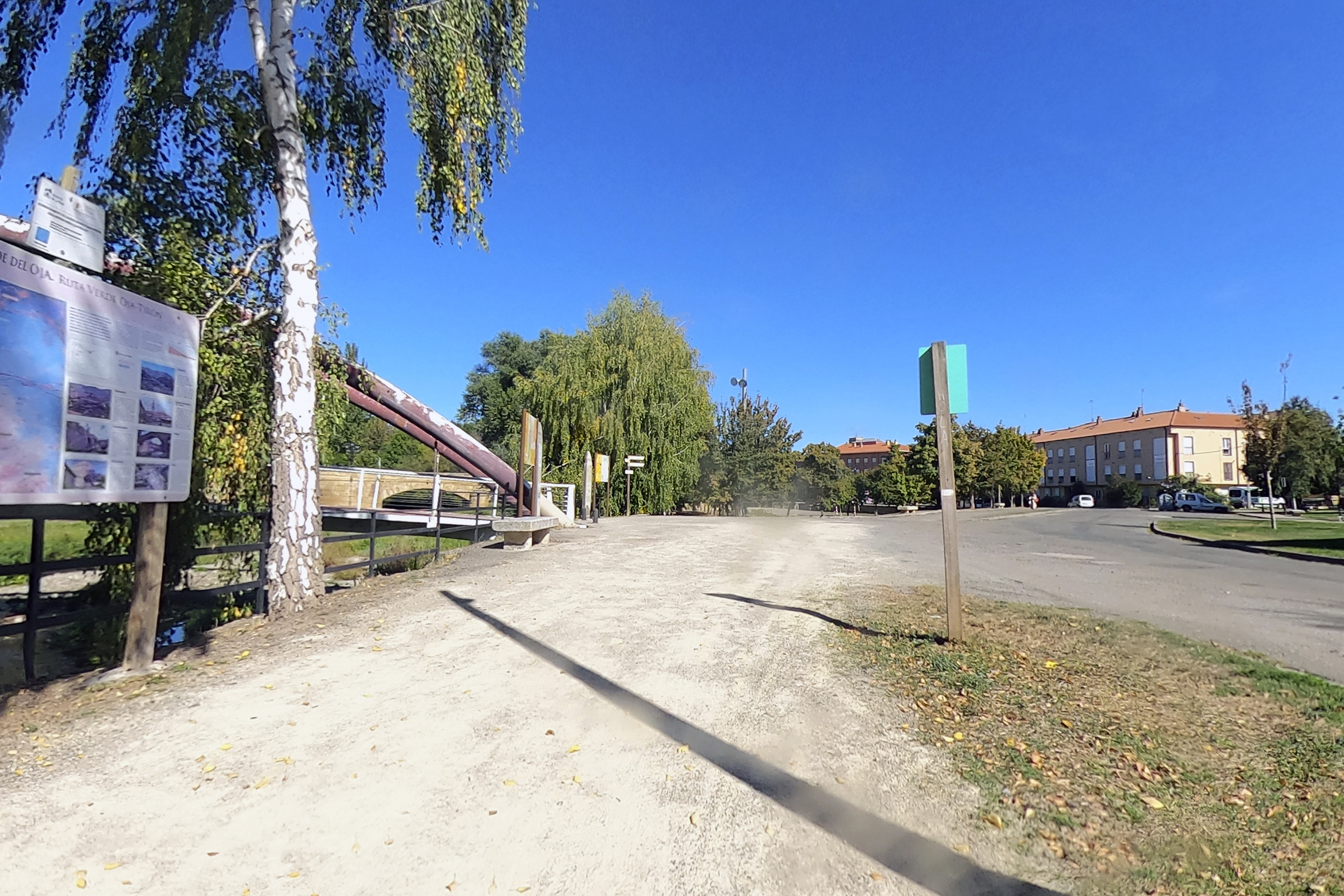
The route starts at a rest area near the old Ezcaray station, now restored as a restaurant. The town centre can be easily reached from the station by crossing the bridge over the River Oja. The first section runs through the northernmost foothills of the Sierra de la Demanda, between the so-called Suso Mountains to the west and the Yuso Mountains to the east, a landscape that combines forests, meadows and the gentle outlines typical of the mountains of La Rioja.
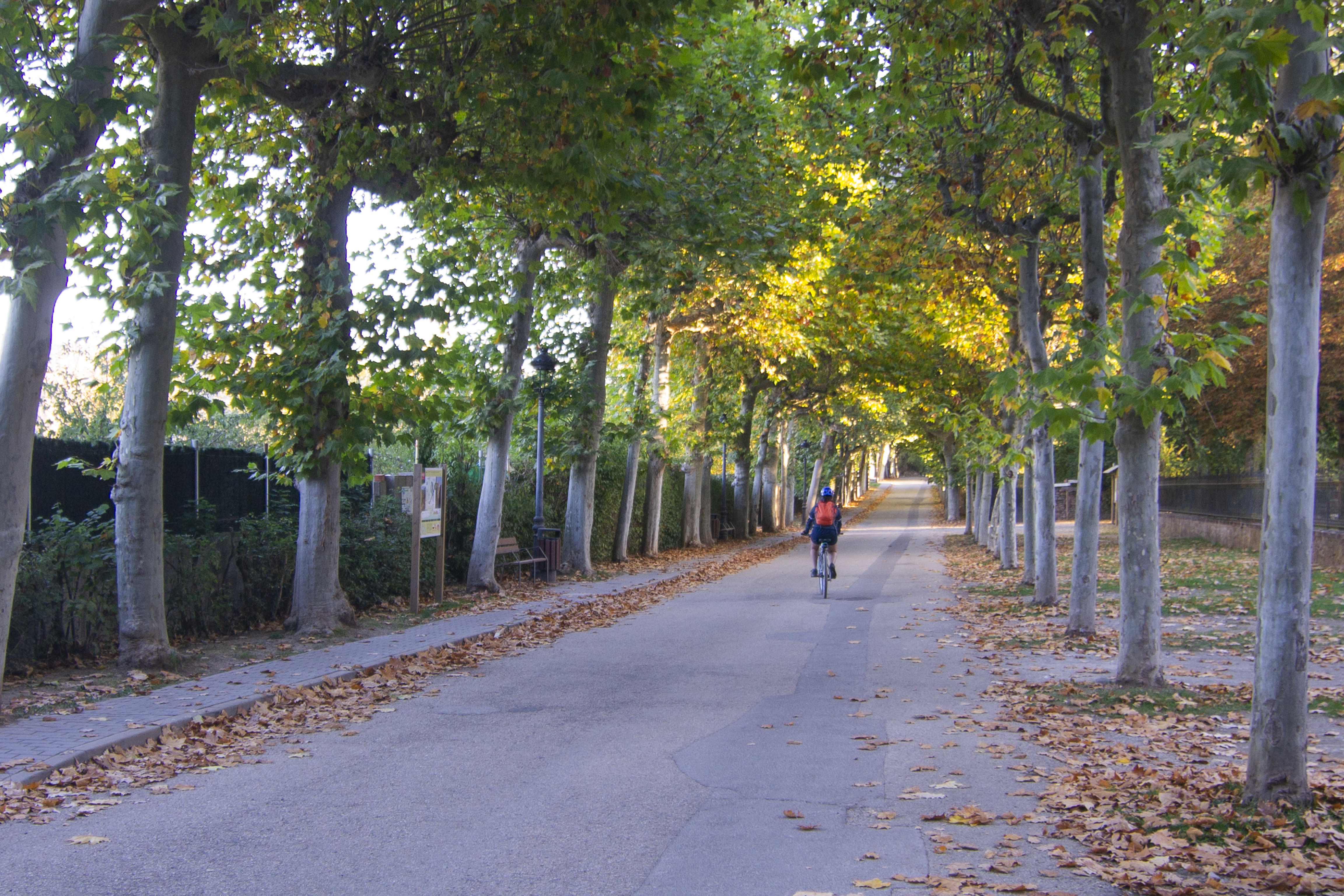
The beginning of the route runs under a canopy of London plane trees (Platanus x hispanica), along an asphalted section that's shared with vehicle traffic, so caution is advised. We soon encounter a short detour to the Shrine of Nuestra Señora de Allende, patron of Ezcaray, an 18th century Baroque style building overlooking the Oja valley from its privileged location. The interior contains altarpieces, votive offerings and Baroque period images.
Returning to the trail, we pass a motorhome area with an adjacent picnic area, next to which we can see the remains of some old lime kilns. Past this recreational area, the asphalt gives way to compacted gravel and motor traffic disappears, except for authorised vehicles. This calm and safe environment is maintained throughout most of the route, except for the crossings with roads or service roads and the accesses to farms.
The route follows a wide curve around the Peña de San Torcuato, a limestone outcrop that stands out for its vertical walls uncovered by vegetation, highlighting light colour of the limestone. The accompanying flora is a mixed hardwood forest of beech (Fagus sylvativa) and gall oak (Quercus faginea), accompanied by maple (Acer sp.), cherry (Prunus avium), walnut (Juglans regia), hazel (Corylus avellana) and ash trees (Fraxinus sp.). In more humid spots, some holly trees (Ilex aquifolium) also appears. When the woodland opens up, the view to the west extends towards the flood plain of the River Oja, covered with grassland, poplar trees (Populus sp.) and some crops, with the Suso mountains in the background.
Soon the first houses of Ojacastro can be seen on the left. After crossing a stone bridge over the San Pelayo or Malarriña stream, we reach a group of buildings where the old station that served the town was located. An information panel tells us more about the landscape to the south of the route. From here you can reach Ojacastro crossing the river over a bridge and walking a little over a kilometre - partly by road, so caution is advised - or catch your breath at the rest area by the bridge.
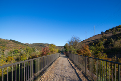
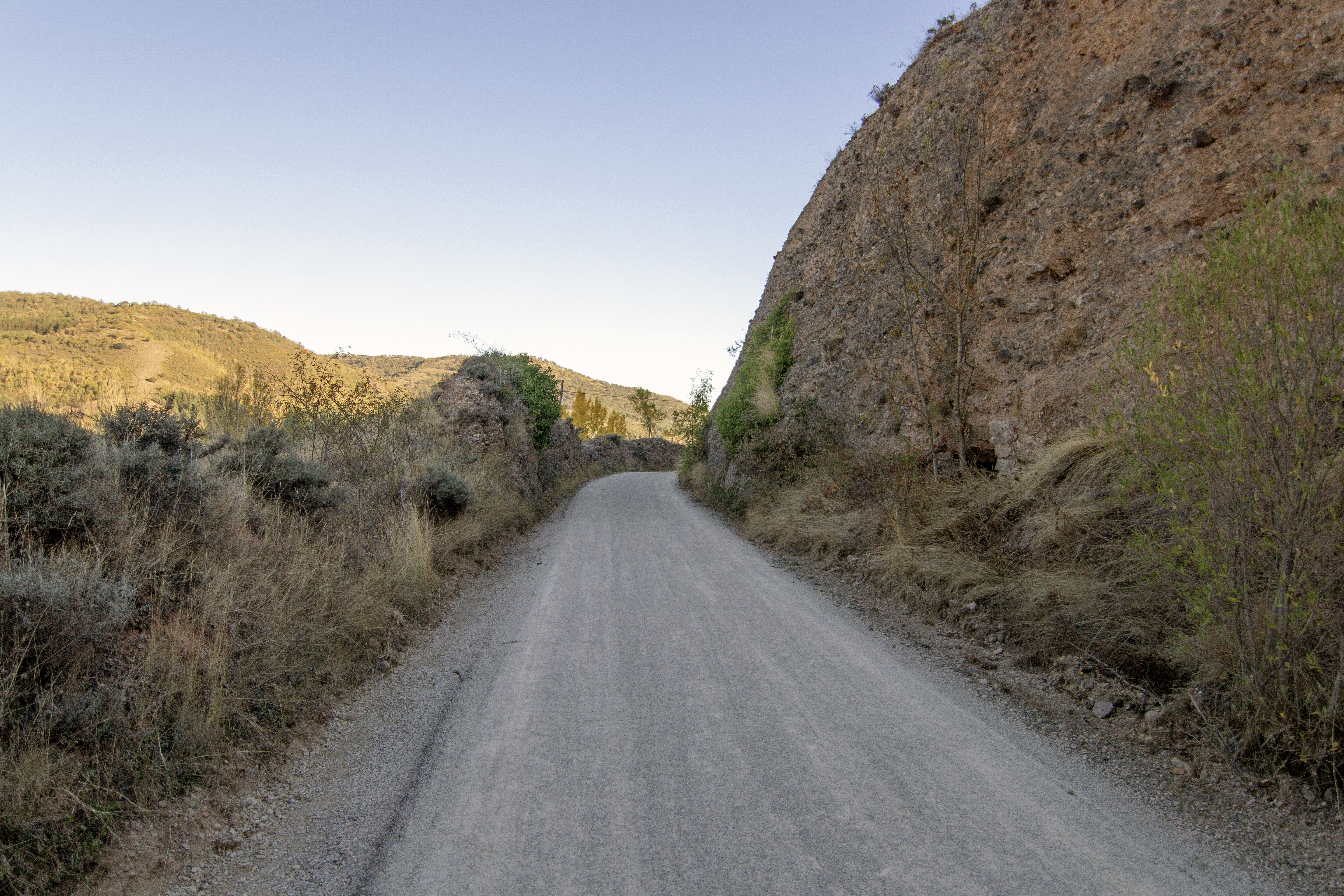
For a few hundred metres, the trail proceeds between trenches excavated into the mountain, a reminder of the old railway infrastructure. After a few metres, the vegetation encloses the path again as we advance again under the cover of the hardwood forest. Approaching some livestock sheds, a short detour of barely a hundred metres to the left leads to a curious oval stone construction; an old shepherds' shelter. Further on the views open up as we reach a valley, crossing a stream on a metal bridge. Shortly afterwards, we reach a crossroads with the road to the right leading to San Asensio de los Cantos or Santasensio, a small hamlet in the municipality of Ojacastro. Following this road, after passing the cluster of houses, there is a turn-off that leads to the Shrine of La Ascensión, a simple Romanesque temple built between the 12th and 13th centuries.
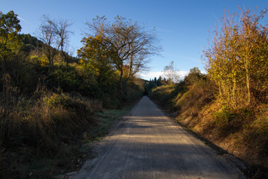
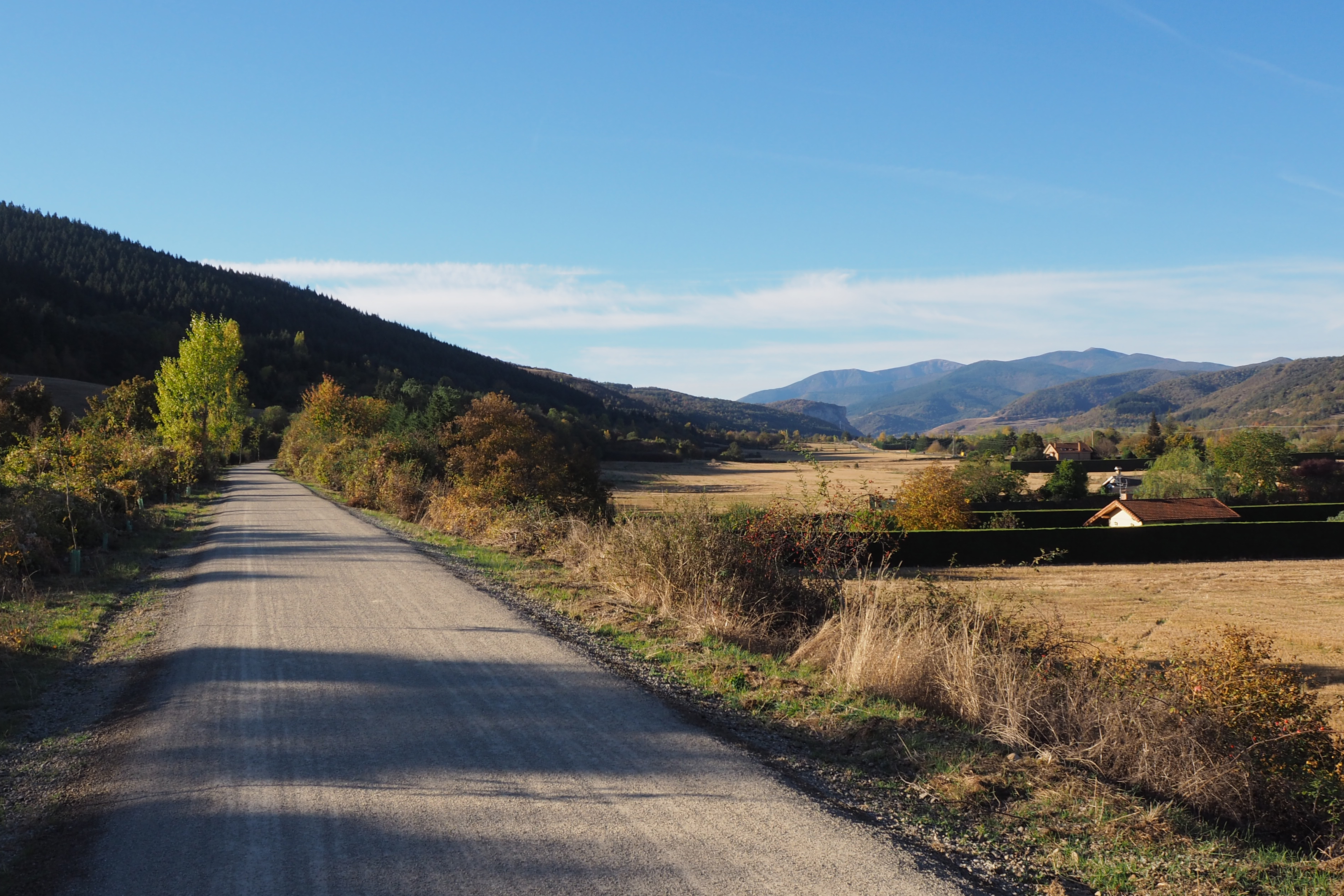
Once again between the forests, the route remains shady for a little over a kilometre, before finally leaving the slopes of the Sierra de la Demanda and opening out onto a wide agricultural plain. We reach a crossroads surrounded by buildings, some of them former railway buildings that have now been converted, where the old Santurde/Santurdejo station once stood. From this point, we can access these two villages, Santurde, 800 m to the left, or Santurdejo, 1.8 km to the right. The path continues straight on, crossing the river Santurdejo over a metal bridge, and further on another road leads to this village.
For the next 4.5 km the landscape maintains a similar appearance, with the route passing through cereal fields - wheat, barley, triticale and oats - alongside plots of rapeseed, sunflower, leguminous plants and fruit trees. Although traffic is restricted, attention should be paid to the junction with rural farm access roads.
The route then approaches Santo Domingo de la Calzada. This town can be reached from the southeast, after crossing the LR-325 road - where caution is advised - and crossing the industrial estate along the Calle de la Estación del Ferrocarril. The street name is the only remaining vestige of the train passing through this town. This road leads to the road to Logroño, a connection point with the French Camino of the Santiago between Nájera and Santo Domingo de la Calzada.
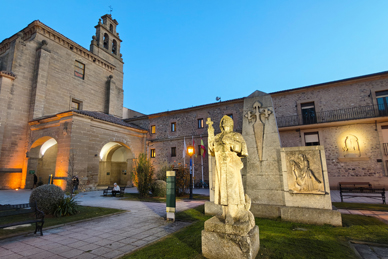
Although our Nature Trail only skirts the town centre, this historic 11th century town is well worth a visit. The walled centre, its squares, small palaces and religious sites retain their medieval splendour that made it famous among pilgrims. The Cistercian abbey, the Convent of San Francisco and, above all, the Cathedral of Santo Domingo with its free-standing tower, whose construction began in 1158, stand out. Inside lie the remains of the saint, the protagonist of numerous miracles, including the miracle of the cockerel and the hen who, so the legend goes, crowed after being roasted. Today, a henhouse with both animals alive keeps the tradition alive.
The route continues northwards, leaving Santo Domingo de la Calzada between orchards and crops. It passes under the A-12 motorway, where there is a rest area, and shortly after crosses the road that leads to Bañares. From here on, a couple of new elements are incorporated into the landscape: the vineyards, which begin to appear next to the road, and some solar orchards.
After almost 4km we reach another large rest area at the site of the old Bañares station. The only visible railway heritage is a section of the kerb of the old platform. Crossing the LR-309, which leads to Bañares (3km away) about a kilometre later, we reach another rest area next to an irrigation canal.
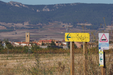
The Nature Trail meets the LR-111 and diverts from the old railway line. While the railway continued on the other side of the road in a straight line towards Castañares, the cycle route runs parallel to the left of the road, between an embankment and a rural track on the right. In 1.26 km we reach a roundabout with a turn-off to Castañares de Rioja, 1.2 km away. Another 1.25 km section returns us to the old railway line. Past cereal crops, increasingly frequent vineyards and a poplar plantation, we reach the point where the old railway line and the Nature Trail definitively part ways. While the railway continues straight on in a north-easterly direction, our trail turns left towards the LR-111 road.
As we approach this road, on the other side, we see the Shrine of San Román de Ajuarte, the only vestige of the disappeared village of Ajuarte. The route follows the road as far as a roundabout. We then pass under the LR-111 and, after another roundabout, before crossing the road from Castañares to Casalarreina, and continuing parallel to it. Although the crossings are correctly signposted and the lane along which the path runs is separated from the road, caution is advised. Before reaching the first houses of Casalarreina, the path turns off the road and approaches the river between poplar plantations and riverside vegetation, alongside a sports facility. We reach the end of the route at a metal bridge, a few metres from the monumental bridge of Casalarreina, a 19th century masonry construction. Opposite stands the Monastery of Santa María de la Piedad, a 16th century gem that remains in excellent condition and hosts the Classica Early Music Festival every summer.
Management entities:
Sites of interest
- Casalarreina Town Council
- Tirgo Town Council
- Zarratón Town Council
- Castañares de Rioja Town Council
- Ayuntamiento de Bañares
- Baños de la Rioja Town Council
- Santo Domingo de la Calzada Town Council
- Santurdejo Town Council
- Santurde de Rioja Town Council
- Ojacastro Town Council
- Ezcaray Town Council
- Santo Domingo de la Calzada Town Council
Puntos de interés
Culture
- Colada Calzada de los Romanos
- Ermita de Santa Bárbara
- Ermita de Nuestra Señora de Allende
- Ermita de La Ascensión
- Monasterio de Santa María de la Piedad
- Ermita de San Román de Ajuarte
Hydrography
Information
Infrastructure
Municipality
- Bañares
- Santo Domingo de la Calzada
- Zorraquín
- Ezcaray
- Ojacastro
- Santurdejo
- Santurde de Rioja
- Casalarreina
- Castañares de la Rioja
Orography
Hostel
Profile
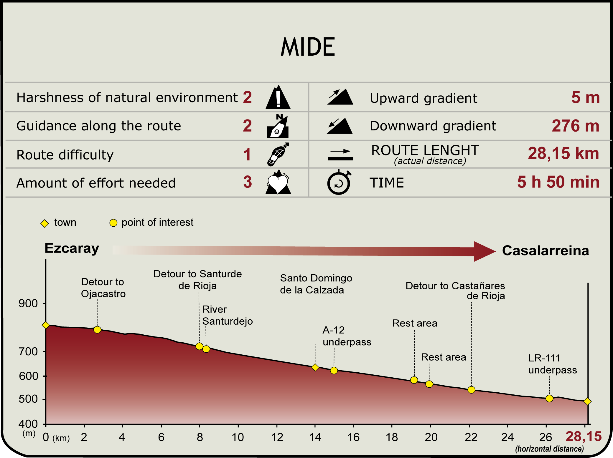
 Harshness of natural environment
- 1. The environment is not risk-free
- 2. There are more than one risk factors
- 3. There are various risk factors
- 4. There are quite a lot of risk factors
- 5. There are many risk factors
 Guidance along the route
- 1. Well defined trails and crossings
- 2. There is a clearly marked trail and signage
- 3. Requires the identification of geographic features and cardinal points
- 4. Requires off-path navigation
- 5. The trail is interrupted by obstacles that have to be gone around
 Route difficulty
- 1. Walking on a flat surface
- 2. Trails with different types of path
- 3. Walking on stepped paths or irregular terrain
- 4. The use of hands or jumping over the terrain is necessary
- 5. The use of hands is required to progress
 Amount of effort needed
- 1. Up to 1 hour of continuous walking
- 2. Between 1 and 3 hours of continuous walking
- 3. Between 3 and 6 hours of continuous walking
- 4. Between 6 and 10 hours of actual walking
- 5. More than 10 hours of continuous walking
(Calculated according to the MIDE criteria for an average excursionist with a light load)
Highlights
Further information
Secondary Railway from Haro to Ezcaray
The narrow-gauge railway that linked Haro and Ezcaray was popularly known as El Bobadilla. Its 34 kilometre-long route served the towns of the Oja valley for most of the 20th century. Although its origins date back to initiatives in the late 19th century, the project was consolidated after the passing of the Secondary Railways Act of 1908. When the project was drafted, it was expected to serve a population of more than 25,800 inhabitants, with an estimated 137,000 journeys per year. In addition to transporting passengers, it was designed to move cargo: minerals - iron and copper - from the mines in the villages of Ezcaray and food produce from the region.
Work began in 1913, and the railway was inaugurated three years later. There were stations in Haro (Haro-Empalme and Haro-Ciudad), Casalarreina, Castañares de Rioja, Bañares, Santo Domingo de la Calzada, Santurde/Santurdejo, Ojacastro and Ezcaray. The most impressive in terms of architecture were those in Haro, Santo Domingo de la Calzada and Ezcaray, while the other stations were rather simpler, more functional affairs. Among the bridges built along its route, those in Haro, over the River Tirón and in Ojacastro, over the Malarriña stream, stand out for their ashlar construction. The route included up to eight level crossings with barriers.
In 1923 it was proposed to modernise the line, transforming it into a broad gauge and extending it to connect with the Calatayud/Cidad-Dosante (Santander-Mediterráneo) line at Abejar, passing through the villages of the Sierra de la Demanda. This plan, almost 100 kilometres long, included 57 tunnels, one of them 4,700 metres long, but it was never implemented.
Competition from road transport weakened the profitability of the railway, which went into receivership in 1962. The last service took place on 16 January 1964. Today, much of the route between Ezcaray and Casalarreina has been given a new lease of life as a Nature Trail, offering visitors a serene route through the same landscapes that the train once crossed.
The River Oja
The River Oja, also known in its initial stretch as the Glera or Hilera, rises in Llano de la Casa, in the heart of the Sierra de la Demanda, and flows for more than 60 kilometres in a north-easterly direction before joining the River Tirón near the town of Cihuri. From there, its waters reach the Ebro at Haro.
Along its first stretch, the Oja flows through the mountain valleys and is fed by small rivers and streams such as the Ciloria, before opening up to the fertile lowlands on the right bank of the Ebro and its tributaries: Najerilla, Iregua, Leza, Cidacos or Alhama.
Popular tradition holds that the name of La Rioja itself is derived precisely from the River Oja, although this theory is not universally accepted. In fact, the origin of the river's name is not even clear, with the main hypotheses giving it a Basque or Latin origin.
Be that as it may, this modest river, with its variable flow and unpredictable character, has given a whole region its identity. Not surprisingly, in the area of Santo Domingo de la Calzada it is still said: "The River Oja comes down when it feels like it".
Multimedia








Downloads

GPS Downloads



Cyclability
PROFILE
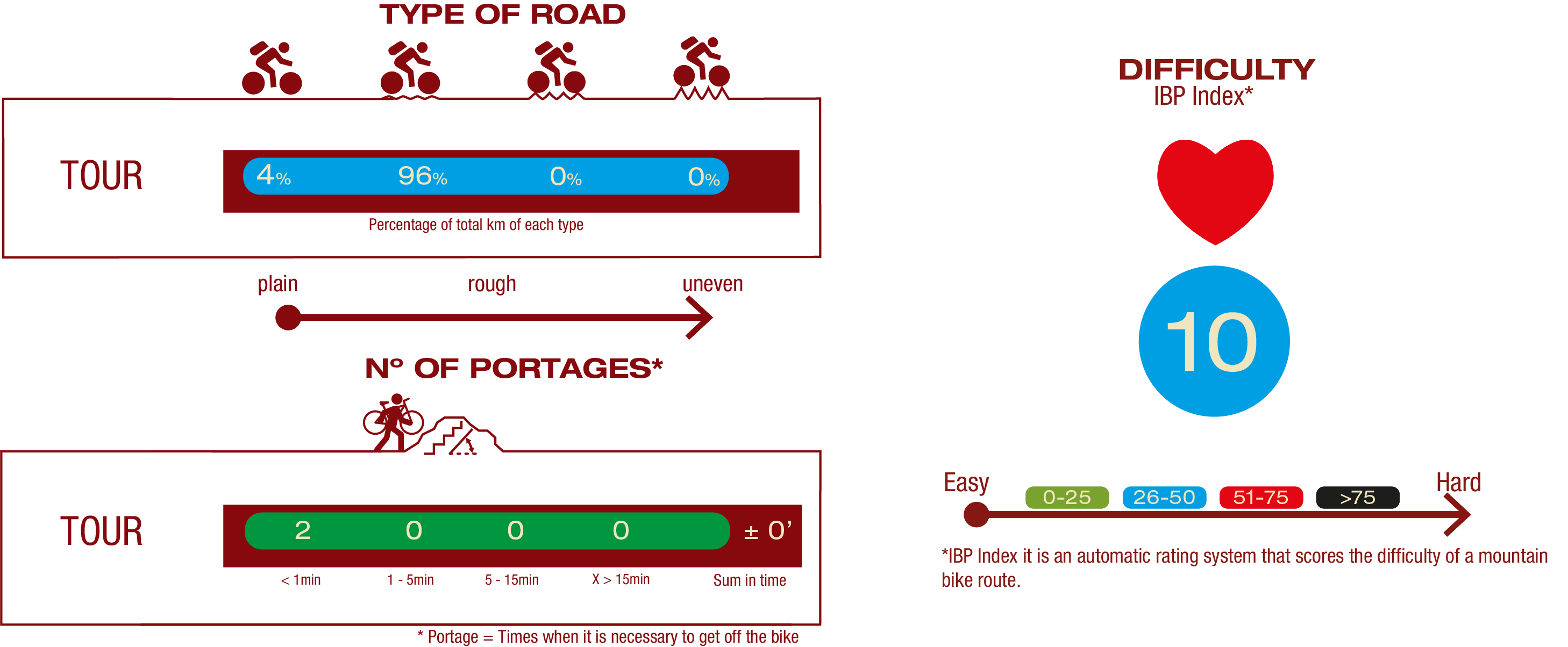
TYPE OF ROADS, PORTAGES & DIFFICULTY
TEST

SAFETY RECOMMENDATIONS
- It is recommended top ay special attention at two-way road crossing, cross on foot when indicated by the signaling and be watchful in sections shared with traffic, which are marked along the route..
GENERAL RECOMMENDATIONS
- Find out about the technical aspects of the route and the weather on the day.
- Take care of the environment. Take care not to disturb animals or damage vegetation. Respect private areas.
- You must give priority to pedestrians and comply with general traffic rules.
- The environment in which you will be riding is open, free to move around and an area where many activities are carried out (sporting, forestry, livestock and agricultural activities).
- Always have an understanding, prudent, responsible and respectful attitude.