Net of Natural
Trails

Stage 8 Branch: Connection Stage 8 – Puente del Castellar
Description
Towards the bridge of El Castellar.
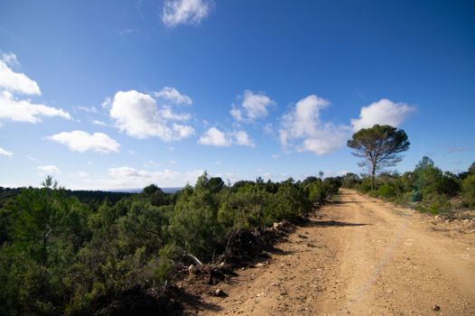
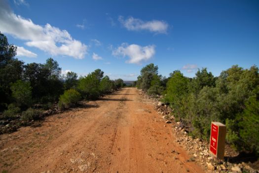
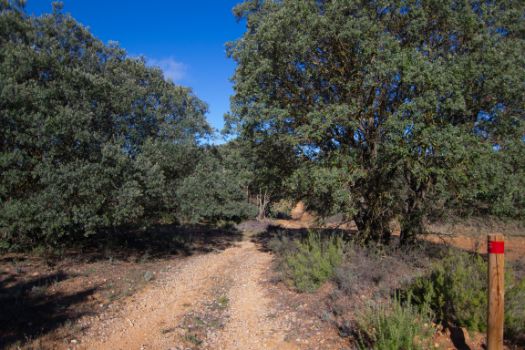
This branch, less than 6 km, brings the traveller back to the river Júcar along a comfortable route that runs along wide forest tracks, surrounded by mixed Mediterranean scrubland, leading to the vicinity of the El Castellar bridge, a monumental infrastructure dating from the 15th century.

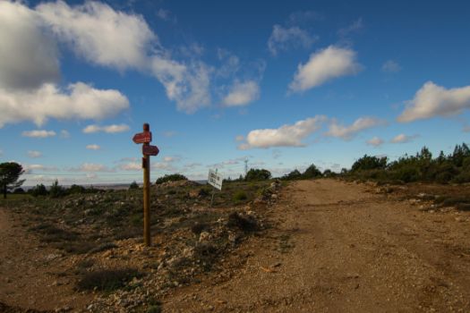
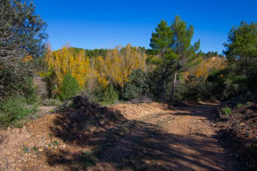
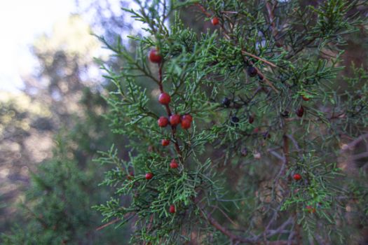
This branch starts 2.8 km from the start of stage 8, taking a track on the right-hand side, heading north-west. For almost a kilometre, the accompanying landscape is a pasture on the left and a mixed Mediterranean scrubland (pines and holm oaks in terms of tree vegetation, kermes oak, juniper, rosemary, thyme, etc. among the bushes) of low density on the right, although the altitude of the terrain at this point means that, but for a few taller specimens, almost all the vegetation is bushy. The low altitude of the vegetation provides magnificent panoramic views of the surrounding mountains.

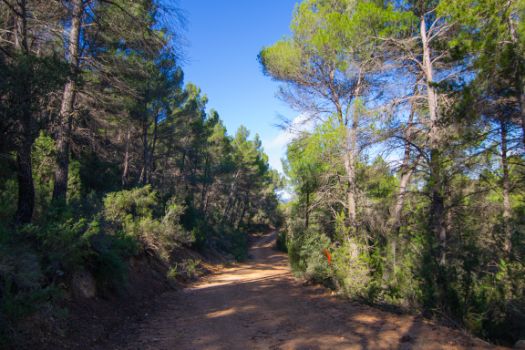
After passing under a high-voltage power line, the trail leaves the pastureland behind and enters a forest that gains in height and density. This stretch of thicker forest serves as a refuge for different species of wild ungulates (deer, roe deer, wild boar) whose presence, if they do not appear directly in front of the traveller, is evident from the numerous footprints and droppings found on the forest track.
The path, although downhill from the start, now begins a steeper descent, zigzagging for the next 3 km. When the path returns to a gentler slope, it returns to pastureland.
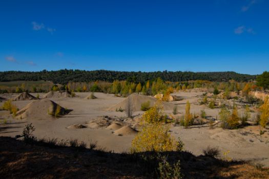
After a crossroads where you have to take the path that heads north, the landscape on the left changes again, as the land between the river Júcar and the forest track has been used as a quarry for aggregate extraction. It runs alongside the quarry, passing by some abandoned buildings, for another kilometre.

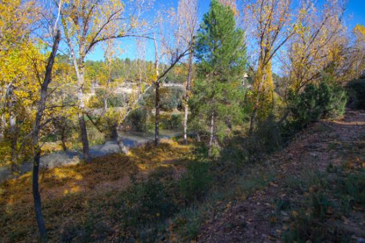
The route then reaches the vicinity of the river Júcar, and the path continues parallel to it, heading upstream, between the gallery forest of the watercourse and the scrubland that has accompanied the entire itinerary.
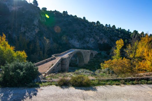
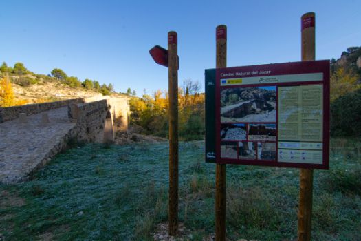
The branch of Stage 8 of the Júcar Nature Trail ends at the foot of the monumental bridge of El Castellar. This magnificent stone bridge, although it has sometimes been called a Roman bridge, is in fact of late medieval construction (15th century), built to connect Cuenca with the La Mancha area and to connect the possessions of the Cathedral Chapter.
The surroundings of the bridge are equally impressive, with magnificent cuttings on the left bank of a river that forms small waterfalls. On the other side of the river is a hydroelectric power station dating from 1922.
Sites of interest
Enlaces de interés
Puntos de interés
Culture
Hostel
Profile
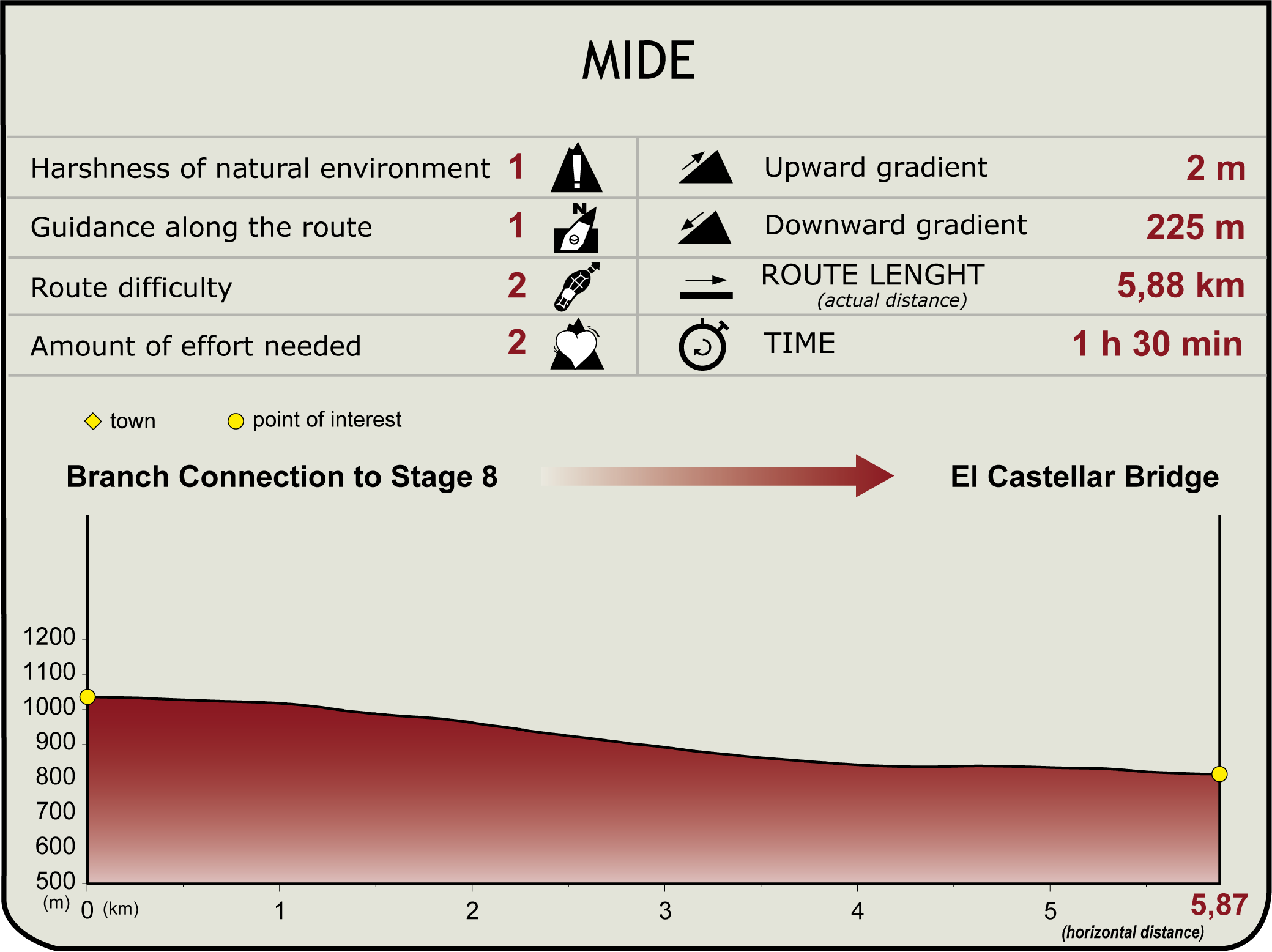
MIDE (Method for the Information of Excursions)
Highlights
Further information
Puente del Castellar
The Castellar Bridge stands over the River Júcar, between the municipalities of La Parra de las Vegas and Fresneda de Altarejos, with the river serving as the boundary between the two villages. It is located in an area of great environmental wealth and protected under the River Júcar over Alarcón SAC, which covers 38 km of the course of the River Júcar and its closest strip, with dense riverside copses and gallery forests with aspens, poplars and white willows.
Erroneously called the “Roman Bridge”, the bridge is of low-medieval date, built between 1420 and 1495, according to the carbon-14 analysis carried out on its lime during restoration. It may have been built by the Council of Cuenca to connect the city with the area of Mancha, and a toll was charged for crossing the bridge, as it was the only one for several kilometres that could be used to cross the river. Today, with the new route of the national road, it remains somewhat hidden and is only used as a landmark for hiking routes, local roads and livestock trails.
The structure is made up of two semicircular arches over the River Júcar, one larger, with a diameter of 19.10 m and another smaller, with a diameter of 8.30 m, to level the passage to the immediate terrain, resulting in a raised platform with access ramps on opposing slopes. It features four buttresses or abutments on both sides to reinforce the main arch due to its large span.
It is a masonry construction, leaving the use of ashlar for the thread of the arches, the base and the corners of the abutments. The abutments are directly supported by three large boulders, whose rocky surroundings also served as a quarry for the construction of the bridge. The simulation of a plinth of stepped ashlars carved into the bedrock on which the abutment on the left bank rests is striking. The construction of the arches was supported by wooden falsework that rested on mechinales, which are the holes for inserting the beams. There are up to three lines of mechinales in the foundation rock on the right bank, in addition to another line in the ashlars already built for the horizontal braces.
The pass, which is 2.8 m wide, has two sidings on the abutments used to allow carriages that could not pay the toll to turn around. The bridge retains its original cobblestones and drainage system which, although it has been covered for better preservation, a sample can still be seen in the sidings.
In the past there was a mill with seven millstones and two fulling ponds next to the bridge. Both constructions belonged to the Cabildo of Cuenca, which was responsible for leasing them.
After a recent restoration promoted by the Provincial Council of Cuenca, it is now back in all its splendour.
Multimedia
Downloads
GPS Downloads
Documents
Cyclability
CYCLABILITY
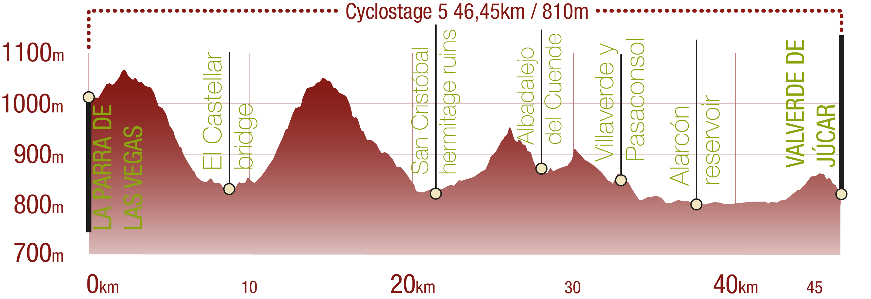
This Cyclostage corresponds to stage 8, stage 8 branch (back forth) and stage 9 of the Nature Trail
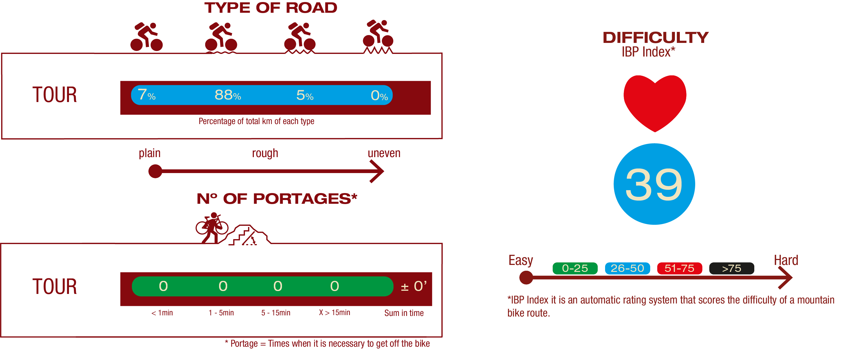
TYPE OF ROADS, PORTAGES & DIFFICULTY
SAFETY RECOMMENDATIONS
- The roads are mainly on tracks with access to farms and rural establishments, so there is a certain risk of being run over.
- Caution at road crossings and access to towns.
- Part of the route along the Alarcón reservoir may be flooded when the waters rise sharply, so it is advisable to check the state of the reservoir in advance.
GENERAL RECOMMENDATIONS
- Find out about the technical aspects of the route and the weather on the day.
- Take care of the environment. Take care not to disturb animals or damage vegetation. Respect private areas.
- You must give priority to pedestrians and comply with general traffic rules.
- The environment in which you will be riding is open, free to move around and an area where many activities are carried out (sporting, forestry, livestock and agricultural activities). Always have an understanding, prudent, responsible and respectful attitude.


