Net of Natural
Trails

Stage 5: Villalba de la Sierra – Cuenca
Description
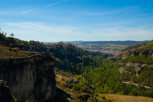
Behind the mountain landscape, the Júcar gorge, a prelude to the monumental city.
Villalba de la Sierra marks the start of this stage of just over 20 kilometres. The path runs parallel to the river Júcar, enjoying the hydraulic engineering works and bridges, such as El Chantre, before finally entering the Júcar gorge. From now on, the river and its rocky cliffs will be the absolute protagonists. The section concludes in the best possible way, in the city of Cuenca.

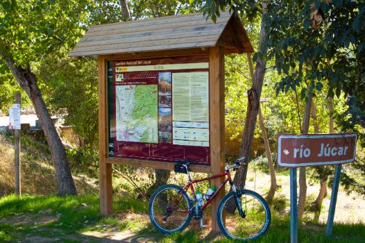
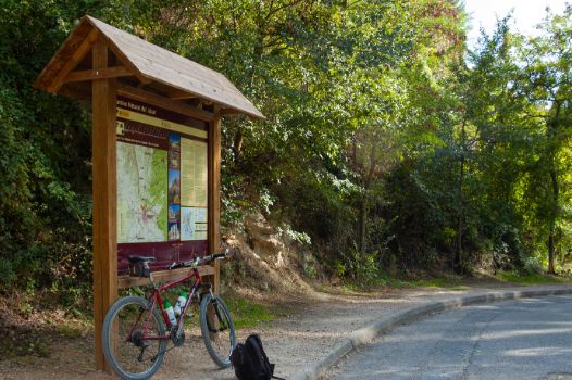
The stage starts in an incomparable setting, with the interpretative panel located next to the river Júcar in the town of Villalba de la Sierra. The route continues over the bridge, taking the CM-2105 road. At this point, caution is required.
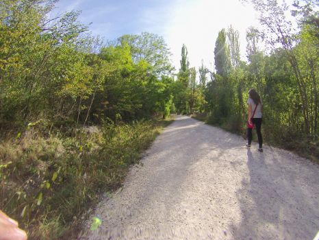
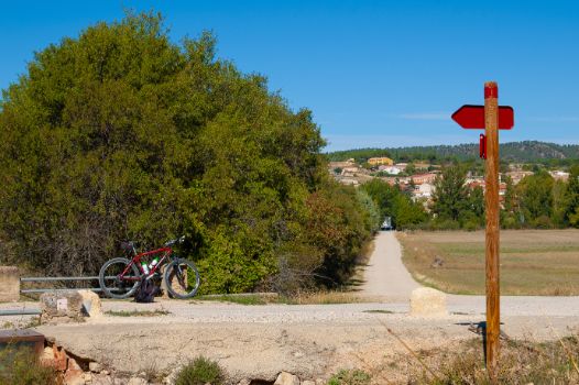
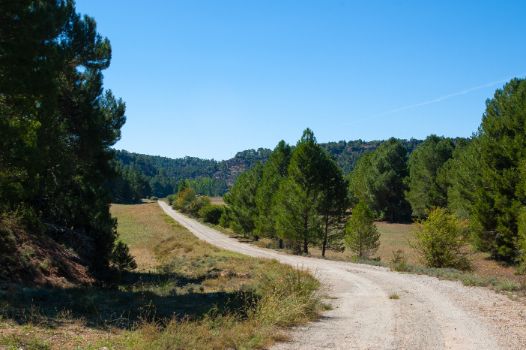
The traveller's steps now take a wide dirt track that turns to the right shortly afterwards, following the signs, to run parallel to the course of the river Júcar, a situation that will not be abandoned for practically the entire stage.

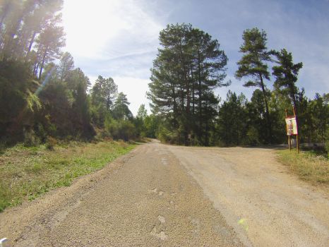
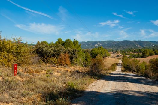
The more curious traveller may will want to stop here for an interesting information panel that explains, in detail, how the monumental city of Cuenca is supplied by the excellent quality waters of its mountain range. The stage progresses through gentle terrain, although not devoid of short uphill and downhill slopes, with dry farming land dotted with patches of pine forest and Mediterranean scrubland that sometimes grow near the riverbed, with the permission of the omnipresent gallery forest.
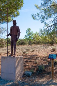
After passing kilometre marker 3, the monument to El Ganchero rises ahead. Built in corten steel, which protects the sculpture from corrosion, this monument pays homage to the ancestral trade of transporting the timber made up of shafts of laricio pine (Pinus nigra) along the upper course of the river Júcar and other rivers and streams of the Serranía de Cuenca. The timber was transported using this method to more accessible places where the logs could be processed or transported by other means.

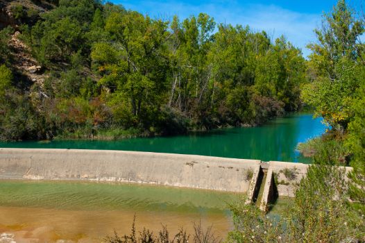
The route continues to meander through pine forests and crops, with the River Júcar always to the right, protected by its riverside canopy. At kilometre point 6 the riverbed comes even closer to the Nature Trail. For more than 2 kilometres, it meanders through a spectacular river landscape, reaching the La Torre waterfall, from where the water flows at a faster rate to the nearby La Torre hydroelectric power station. This is one of the many hydraulic engineering works built on the upper reaches of the River Júcar and part of its tributaries. These include flour mills, light factories, fulling mills, blacksmiths and paper mills that took advantage of the power of water for their productive activities.
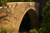
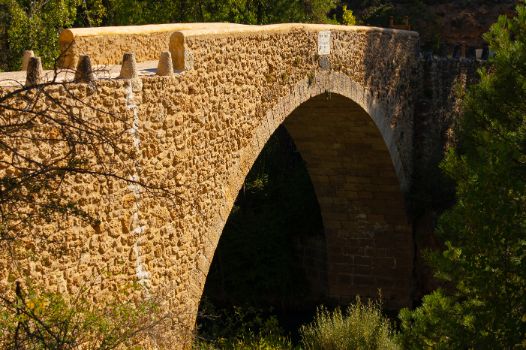
The kilometres continue to add up, as we share our route with the course of the river Júcar. Shortly the route and riverbed turn right to reach kilometre 12 of the stage. Once over the bridge, there is an interpretative panel narrating the history of the El Chantre bridge, located next to it. This bridge, which owes its name to Nuño Álvarez Osorio, is an obligatory stop. The developer of the original construction in the 15th century, one of his many occupations he held over the course of his life was choirmaster of Cuenca Cathedral for some 30 years, a position known as Chantre. The bridge been rebuilt twice, the first time in 1882 by Cuenca City Council when it was found sunk according to written documents of the time, and the second, in 2010, by the Provincial Council of Cuenca, due to a partial collapse suffered in 2013 due to heavy rains. Today, together with the recreational area of the same name, it is an ideal place to enjoy the river environment provided by the river Júcar.

The route continues again in a predominantly southerly direction. The landscape mosaic formed by masses of multi-species pine forests where several species of native pine trees coexist, masses of holm oak and gall oak groves with Mediterranean scrub undergrowth and gallery forests developed on both sides of the riverbed. All of this is dotted with dry farming land.
Shortly after, we pass kilometre point 14. This marks the beginning of a stretch of just over one kilometre along the CM-2104 road, where hikers and cyclists will have to take precautions and ensure they comply with the rules of the road. The trail continues along the Camino de San Isidro, where a green paved pavement on the left side marks the way for walkers, while cyclists must continue along the left side of this asphalted road.
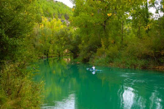
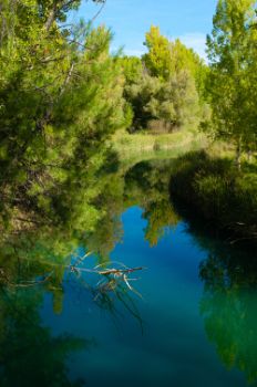
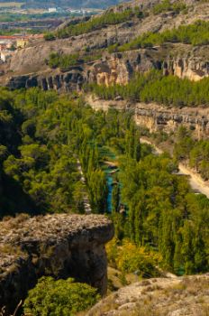
The emerald waters of the river Júcar continue their course alongside the trail. Shortly before kilometre 17 of the stage, the directional signs invite you to leave the aforementioned Camino de San Isidro, taking the dirt track on the right to continue walking alongside the River Júcar.

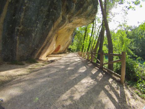
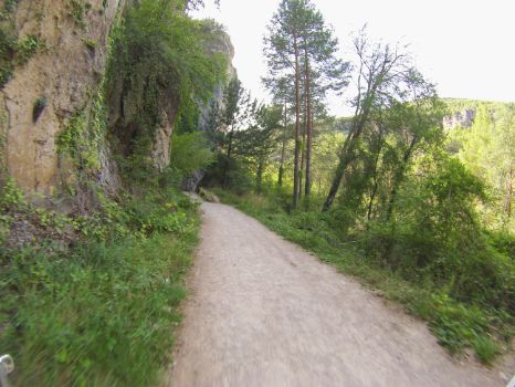
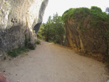
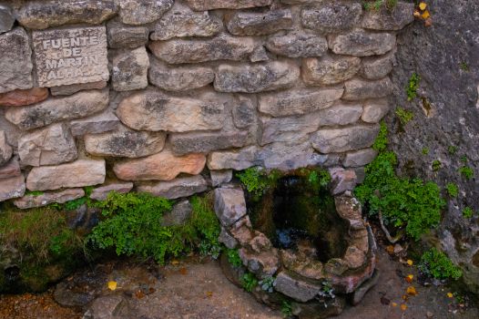
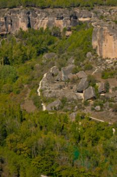
The hiker plunges into the Hoz del Júcar, where it is common to find climbers practising their favourite sport on the specially equipped cliffs, and who can refresh themselves in the water of the Fuente Martín Alhaja. Travellers should ignore the right turn at Las Grajas bridge and take the path to the left. The path then narrows at the same time as it gains in beauty, advancing along a stretch of less than 1 kilometre where the route sticks to the rocky outcrop, from uphill ramps at the beginning and predominantly downhill at the end.
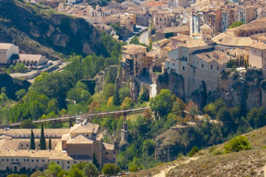
The path widens shortly before reaching kilometre 19, opening up to the landscape formed by the Júcar and its gorge, while the shrine of San Isidro and the old hydroelectric power station of El Batán shouldn’t go unnoticed by the traveller. Engrossed by this beautiful panoramic view, the route passes kilometre point 20 almost without noticing as the monumental city of Cuenca rises above the cut of the ravine, just as we approach the recreation area known as Recreo Peral. Once again, the end point of the route is marked with an interpretative panel located at the foot of the river Júcar and the city of Cuenca.
Sites of interest
Puntos de interés
Culture
Hydrography
Information
Infrastructure
Municipality
Hostel
Vegetation
Profile
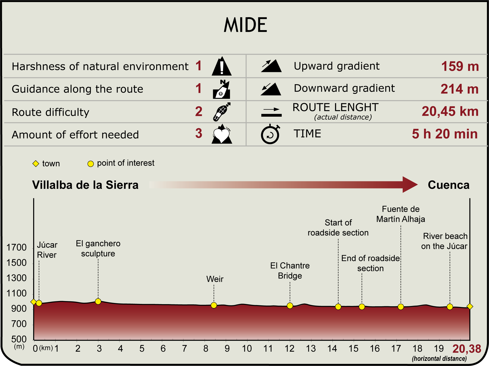
MIDE (Method for the Information of Excursions)
Highlights
Further information
El Chantre Bridge
Built in the 15th century, this is one of the oldest bridges built on the River Júcar thanks to Nuño Álvarez Osorio who, among many of his occupations, was the choirmaster of Cuenca Cathedral for 30 years, a role known as Chantre.
It is a structure built from masonry with a single eighteen-metre eye connecting the city of Cuenca with the villages of the Serranía, used mainly for the passage of livestock. The bridge has suffered over the years and there are many stories told by locals and traders. Two stand out from the others, even if there's always a happy ending for the bridge itself.
The first is the state of collapse of the bridge as reflected in writings from the second half of the 19th century, and after unsuccessful attempts, it was rebuilt by the Cuenca City Council in 1882, as recorded in the engraving on the central stone.
The second was caused by its faithful companion, the river Júcar, which, raging in the heavy rains of April 2013, washed part of the bridge away downstream. In 2019 the Provincial Council of Cuenca rebuilt it as it looks today, faithful to its original construction and an emblematic site for the enjoyment of all the people of Cuenca.
Cuenca
Capital city of the province of the same name in Castilla-La Mancha. The city was declared a UNESCO World Heritage Site in 1996 and stands between the gorges of the Júcar and Huécar rivers, a setting of spectacular beauty and great environmental importance.
The remains found in the area confirm that it has been inhabited since ancient times by Celtiberians, Romans and Muslims, who each shaped it by adapting it to the terrain. In 1177 it was conquered by the Christian troops of Alfonso VIII, who developed and expanded the city, bringing in a period of great splendour, as in many other places, in the 15th and 16th centuries due to the lucrative livestock sector and the wool trade driven and promoted by the Royal Council of La Mesta. Subsequently, the plague and various wars were the most important events in the subsequent centuries.
Today it is a city buzzing with life and it would be just impossible to list all the architectural heritage here: the Gothic cathedral of Santa María Nuestra Señora de Gracia, the baroque City Hall, the famous Casas Colgadas or Hanging Houses, internationally renowned as a symbol of the city. All great reasons for one to lose oneself in the city’s historic streets.
Multimedia
Downloads
GPS Downloads
Documents
Cyclability
CYCLABILITY
This Cyclostage corresponds to stage 4 and stage 5 branch of the Nature Trail
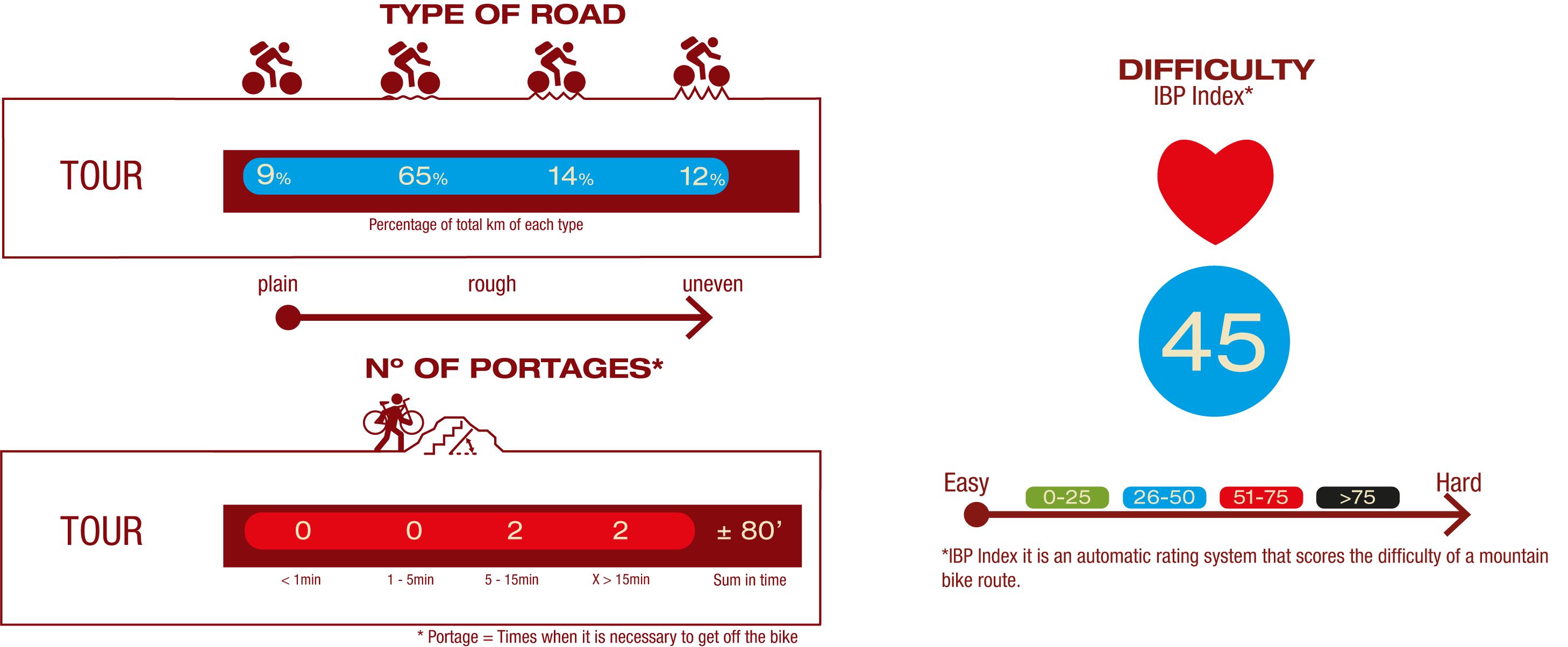
TYPE OF ROADS, PORTAGES & DIFFICULTY
SAFETY RECOMMENDATIONS
- Mountain bike trails with several stretches of footpaths of different lengths and difficulty.
- Extreme caution should be exercised and all information for cyclists should be read carefully, and the trip should be abandoned if in doubt. .
- There are walking section where cyclists must dismount, sections of path, sections with rocky outcrops, sections with loose stony ground, demanding ascents and long descents.
- They run through an area of great scenic value with the inherent risks of the Sierra de Cuenca.
GENERAL RECOMMENDATIONS
- Find out about the technical aspects of the route and the weather on the day.
- Take care of the environment. Take care not to disturb animals or damage vegetation. Respect private areas.
- You must give priority to pedestrians and comply with general traffic rules.
- The environment in which you will be riding is open, free to move around and an area where many activities are carried out (sporting, forestry, livestock and agricultural activities). Always have an understanding, prudent, responsible and respectful attitude.


