Net of Natural
Trails

Stage 3: Huélamo - Molino de Juan Romero Rest Area
Description
Wandering through pine forests with livestock culture.
Huélamo bids farewell to the traveller with its hill bearing witness to the characteristic pine forests of the Cuenca mountain range. Here wildlife roams freely in an environment spattered with springs, with the Juan Romero Recreational Area as the stage’s finishing touch.
The route begins at the entrance to the village of Huélamo, beside the Caminos Naturales interpretative panel. Other panels near this one offer the traveller various options to enjoy this beautiful environment. Moreover, facing them, a monument in honour of los cargos pays homage to the three figures around whom the patron saint festivities revolve with a character all of their own.
After visiting the village, touring cyclists must climb the streets of the village spread across the hill where it stands. Go up Calle Molino, which leads to the CM-9231 road, which gives access to the village. The route naturally continues along Calle la Fuente which, after finishing, zigzags to reach the El Pozuelo recreational area. This recreational area has a special charm, having been built by retired locals, as well as being fitted out with barbecues, fountains and tables, and it offers pleasant shade that will delight huelameros, as the locals are known, and tourists alike, before they leave the village once and for all .

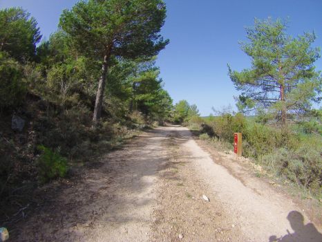
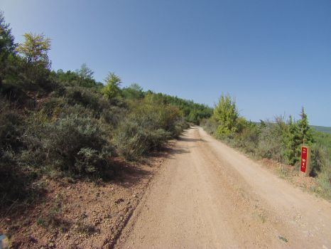
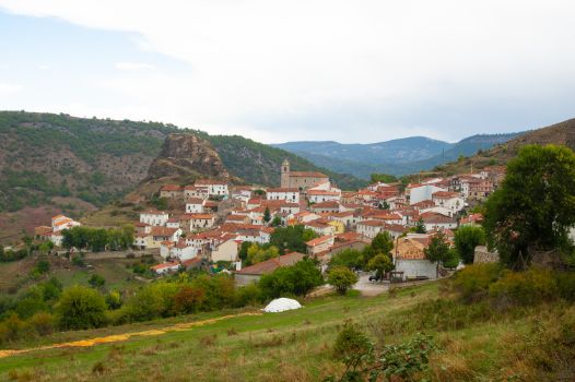
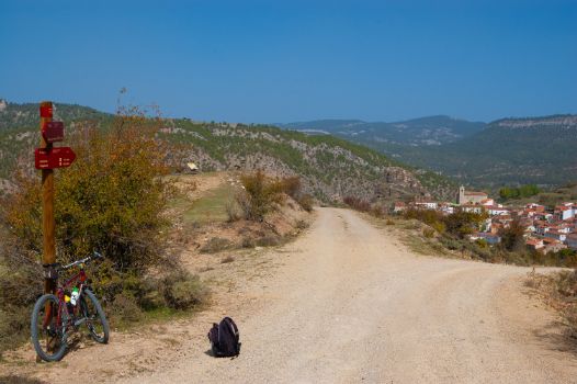
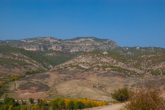
You will continue to climb up towards the Huélamo vantage point, where, besides catching your breath, you can enjoy views that provide a beautiful postcard image of the village and high-quality snapshots of the landscape of the Cuenca mountain range. As you now advance through more favourable terrain, the density of shrub and tree species increases, with a predominance of pine trees.
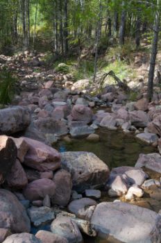
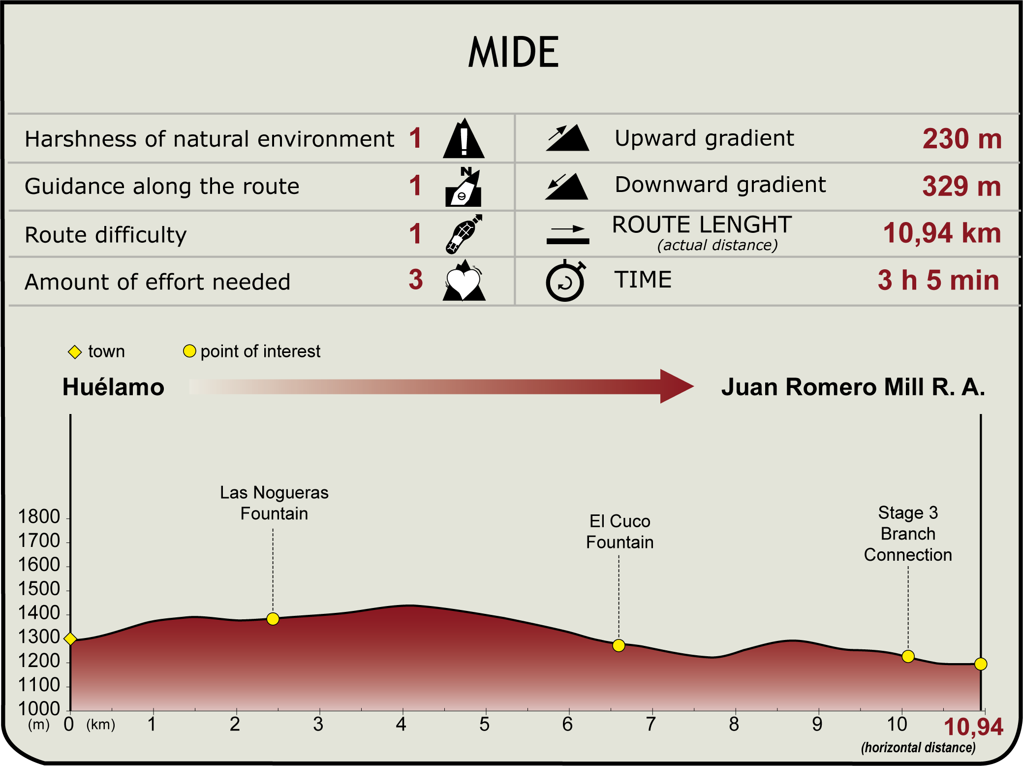
After kilometre point 2, a wooden sign indicates the Fuente de Las Nogueras, on the right-hand side of the route, once again highlighting the multitude of springs in this mountainous area due to its highly porous limestone. Pine woods in this area are arranged into lines, which suggests that they were planted by people.

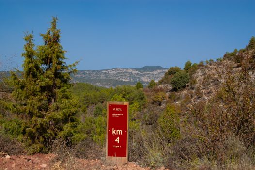
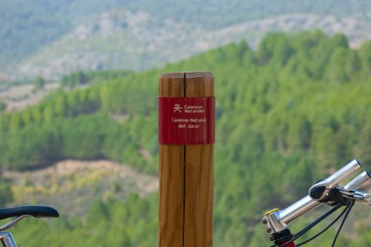
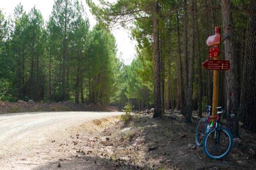
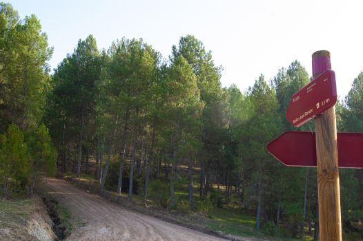
After kilometre 4, and with the impressive snapshots of this itinerary still fresh your memory, you will leave what, in principle, seems to be the main trail that turns sharply to the right. Walkers must continue straight on, following the Caminos Naturales signage, which will leave them in no doubt. At this point a descent begins into the thick pine forest where, besides the vegetation, you can see the ruins dotted with old sheepcotes or tainas that recall the livestock farming tradition of this district in the province of Cuenca.
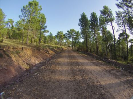
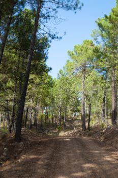
The rapid descent, particularly if done on a bicycle, continues, arriving at a spot where the Fuente del Cuco fountain, the Fuente de La Tocona fountain and the dilapidated construction of what may have been an old forest refuge stand together. Guarded on either side, like erect spears, the trunks of the pines accompany the traveller while their crowns provide pleasant shade, carpeting the route with a needles in certain sections.

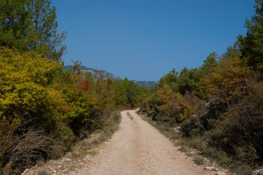
The downhill section comes to an end before reaching kilometre 8 of the stage, on a sharp turn to the left, which is properly signposted. From this point onwards, the cyclist will face an uphill slope, with a steep incline, especially in the final part, which will require considerable effort to negotiate. In this area the pine trees are older and more irregularly spread, suggesting they may be of natural origin.
Although travellers may not be aware of it because they are immersed in the coniferous forest, from the start of the ascent (k.p. 8, approx.) you will advance parallel to the Cordel de Huélamo and the River Júcar, and so continue for the remainder of the stage. The climb ends before you reach kilometre 9 and a predominantly downhill section begins. The route thus gives some respite, offering as it does no technical difficulties so that cyclists, even less experienced ones, can cycle the route and enjoy the views.

At kilometre point 10, the forest track in the branch of stage 3 enters the route on the left, which will share a path from this point until the end of the stage.
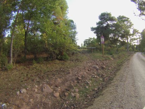
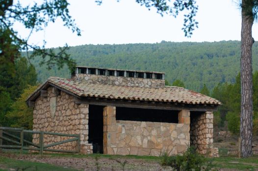
After crossing a small stream via a purpose-built cemented level crossing, the route heads towards its final section, reaching the signpost and a barrier that blocks motor vehicle traffic. This marks the entrance to the Juan Romero Recreational Area, where its enormous pine trees, green meadow and stone tables round off this stage, inviting you to rest in this history-filled place.
Sites of interest
Puntos de interés
Culture
Hydrography
Information
Municipality
Hostel
Profile
Highlights
Further information
Huélamo
A village in the Serranía de Cuenca that sits at an altitude of over 1,300 m above sea level near the Cerro del Castellar. The borough has been inhabited for millennia, as confirmed by Bronze Age ruins found at the Covacha de las Grajas site. Its name, which is of Arab origin, and the ruins of the castle on the adjacent hill, are the greatest surviving traces of that period. Later, after the Christian Reconquest, it belonged to the Order of Santiago.
Its economy has been based on agriculture, but the tourist sector is increasingly important thanks to its location in the Serranía de Cuenca Natural Park, with the River Júcar as a witness to its entire history.
The patron saint festivities are held on the first Sunday in September, in honour of Ntra. Sra. del Rosario, where a representation of the three municipal powers (the local council, the Church and the military), known as “Los Cargos,” is the central theme of these festivities.
Pine forests in the Serranía de Cuenca
Along with the cliffs, buttes and canyons, the result of the geomorphological processes that have occurred over many years in the Cuenca mountain range, there are the extensive pine forests. Three species of indigenous pines coexist in them: Scots pine (Pinus sylvestris), laricio pine (Pinus nigra) and resin pine (Pinus pinaster). Logging has been carried on for centuries according to principles of sustainability and perpetuity of these forests, with the timber rafting of the past standing out. In this traditional practice the rafters transported the wood from the sierra along the course of the most abundant rivers, in this case the River Júcar.
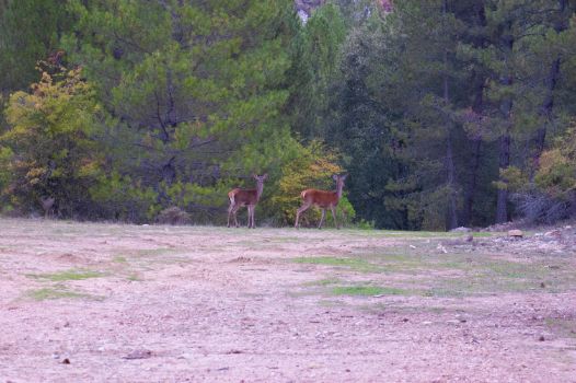
Numerous species of wildlife coexist in these forests, as well as a large number of livestock that uses the fresh pastures. Specimens peppered with other species such as maples, hollies, yews and lime trees also form part of the biodiversity while increasing the range of colours seen in the landscape.
Multimedia
Downloads
GPS Downloads
Documents
Cyclability
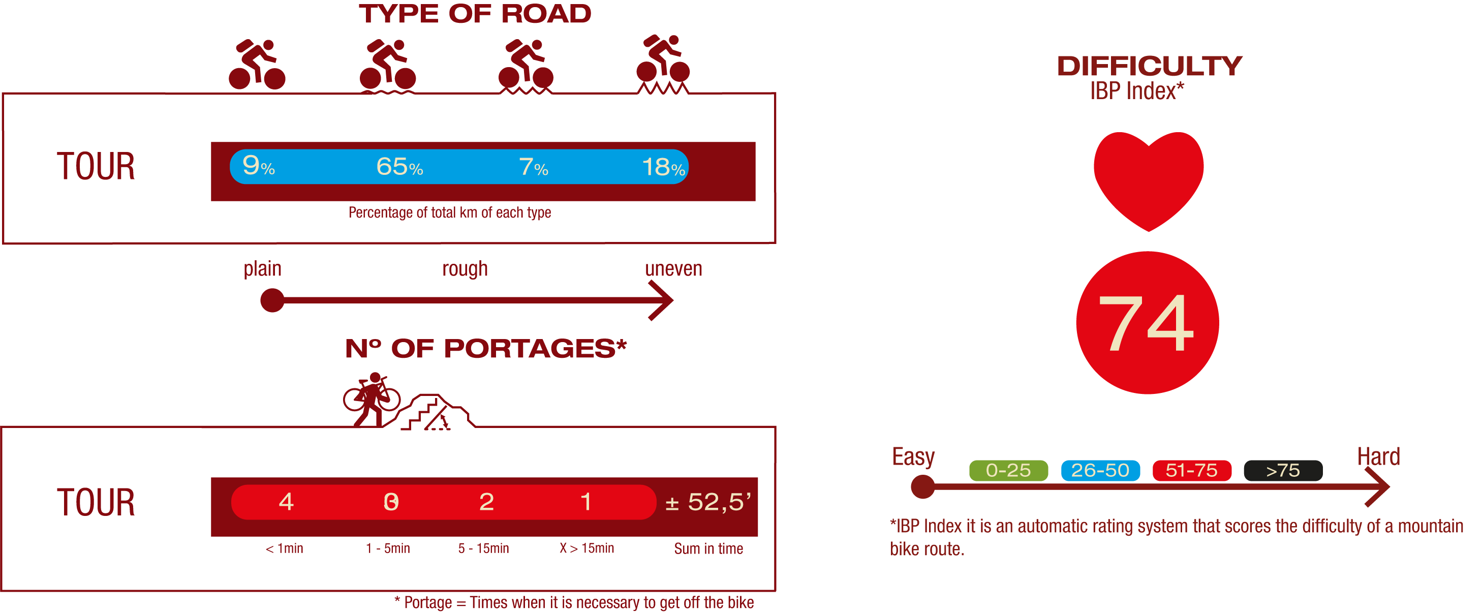
TYPE OF ROADS, PORTAGES & DIFFICULTY
SAFETY RECOMMENDATIONS
- Mountain stages for cyclists with a walking section between them of more than 3 kilometres.
- You must exercise extreme caution and carefully read all the information aimed at touring cyclists and you must abandon the trip if in doubt.
- There are portages on both cycle stages, path sections, sections with rocky outcrops, sections with loose stones, challenging climbs and long descents.
- They run through an area of great scenic value with the risks inherent in the Serranía de Cuenca.
GENERAL RECOMMENDATIONS
- Find out about the technical aspects of the route and the weather on the day.
- Take care of the environment. Take care not to disturb animals or damage vegetation. Respect private areas.
- You must give priority to pedestrians and comply with general traffic rules.
- The environment in which you will be riding is open, free to move around and an area where many activities are carried out (sporting, forestry, livestock and agricultural activities). Always have an understanding, prudent, responsible and respectful attitude.


