Net of Natural
Trails

Agua Soriano Nature Trail. Antonino Route
Description
select a stage:

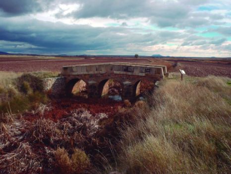
A bridge between the courses of the two large rivers in the north of the peninsula, the Agua Soriano Nature Trail takes advantage of part of the 27th Route of the Antonino Itinerary, between the ancient cities of Augustóbriga and Numancia. This is a historical route that takes you from the Pre-Roman culture of the Celtiberos to the Roman and Mediaeval eras, under the watchful eye of the Moncayo mountain.
Owing to the proximity of the banks of the Rivers Duero, Queiles and Ebro, water is ever-present along the 116 km that make up the Agua Soriano- Antonino Nature Trail, a route that serves to link the courses of the two large rivers in the northern half of the peninsula, joining together the Senda del Duero Nature Trail (GR-14) and the Ebro Nature Trail (GR-99). The route initially covers part of the remains of the Roman Road that is located in the lands of Soria, between Numancia and Augustóbriga, and which leads you from the Pre-Roman culture of the Celtiberos to the Roman and Mediterranean eras.
The trail leaves the city of Soria and follows the course of the River Duero as far as Numancia, from where it continues mainly along the Roman Road as far as Vozmediano (Soria). It heads up the course of the River Queiles as far as Tarazona (Zaragoza) until it ends in the Navarre town of Tudela. In addition to the aforementioned places, the Agua Soriano Nature Trail also passes through Garray, Renieblas, Aldehuela de Peribáñez, La Omeñaca, Masegoso, Pozalmuro, Muro, Aldehuela de Ágreda, Los Fayos and Torrellas, covering what was believed to be, in olden days, a proposal for a revision of the maps of the Roman world; a geographical mesh on which, later on, a detailed map of the province was to be based.
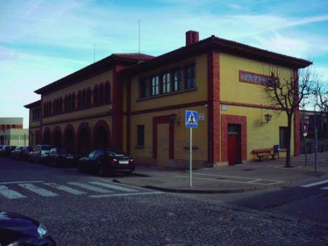
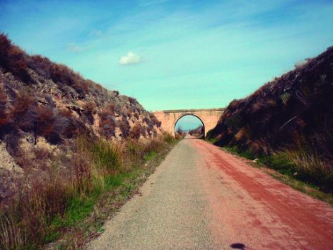
The route is structured into six stages: the Numancia and the Roman Road stage, from Soria to Arancón; La Vía Antonina stage, between Arancón, Omeñaca and Masegoso; La Sierra del Madero stage, between Masegoso, Pozalmuro and Muro; the Moncayo Mountain stage, between Muro, Ágreda and Vozmediano; the River Queiles stage, between Vozmediano, Los Fayos, Torrellas and Tarazona, and the El Tarazonica stage, which comprises the section of the Green Track of El Tarazonica, between Tarazona and Tudela.
The surprising change in altitude along the route, between the 1,081 m of the city of Soria and the 268 m of Tudela, means that the landscape evolves in a way that is worthy of admiration: ranging from the infinite plains that change colour according to the seasonal variations in the endless cereal fields throughout the year, passing through scrubland surrounded by holm-oak and olive trees, to deep spots where it is impossible to distinguish the different species of bush emerging from the banks themselves of the River Queiles, protected by enormous headlands.
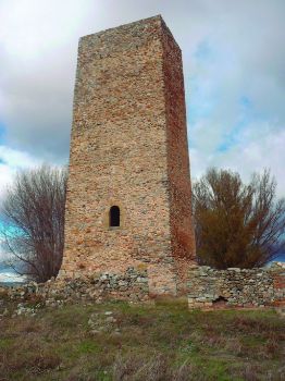
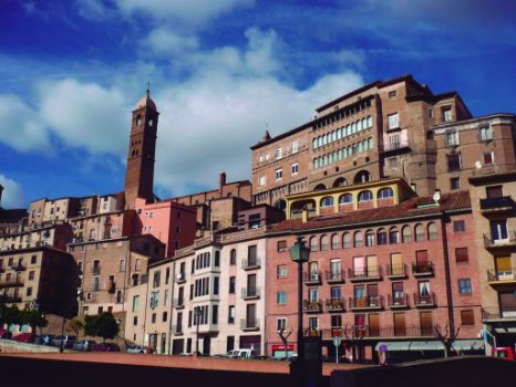
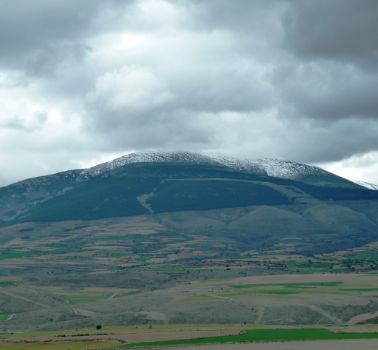
The immense “pyramid” of the Moncayo Mountain, the highest summit in the province and in the Iberian System with its altitude of 2,314 m, protects adventurers along this route, which has preserved until this very day traces of the union of three cultures: the Christian, the Jewish and the Arab. All of them succeeded in living behind the same walls to leave us a legacy of majestic creations, such as the Castle of Vozmediano, the Turret of Masegoso and the monumental city of Tarazona.
Natural spectacles such as the source of the River Queiles in Vozmediano; the headlands and the Cave of El Caco in the town of Los Fayos; Los Lombacos Park, mid-way between Torrellas and Tarazona, among many others, alternate with archaic buildings that have fallen into disuse such as timeworn, unused livestock barns; old, ruined factories and ancient deserted railway stations.


